There used to be a couple of granite quarries in the vicinity of Bukit Timah that have now been rehabilitated and transformed into beautiful nature spots. Most of these can be explored in a half day itinerary on foot. If you’re looking for something unique to do in Singapore, this could just be it!
While more is known of Singapore’s glistering skyscrapers and waterfront, there are many ways that you can easily get back in touch with nature, just minutes from the city. Some time back I added a one day itinerary for a hike through Southwest Singapore. Here’s my second Singapore day hike itinerary, exploring the former quarries on the mainland. At a brisk pace this can be done in half a day and will take you to places off the beaten path in Singapore.
Overview of landmarks
- Seng Chew Quarry
- Little Guilin (Bukit Batok Town Park)
- Bukit Batok Quarry (Bukit Batok Nature Park)
- Bukit Batok Memorial (Bukit Batok Summit)
- Old Bukit Timah Fire Station
- Former Ford Factory
- Old Railway Bridge
- Singapore Quarry
- Dairy Farm Quarry
- Wallace Trail
- Bukit Timah Summit
- Cave Path
- Bukit Timah Nature Reserve Visitor Centre
- Hindhede Quarry (Hindhede Nature Park)
A quick history lesson
Bukit Timah Granite is a geological formation that makes up much of the bedrock in the middle of Singapore. Along with Bukit Gombak Norite, these formations were made of extremely hard rocks that were ideal for construction. You can read more on Singapore’s geology in this cool report. In the early 1900s granite quarries sprouted in the area, providing materials for many of the buildings in early Singapore. Quarrying activities reached a peak around the 70s before environmental and public concerns culminated in the phasing out of granite quarrying in Singapore. Some were filled in with earth, others with water. Some were turned into public parks, and others abandoned. Here’s an half to full day itinerary checking out a couple of the more prominent ones you still can find today. I’ve also added a couple of detours to nearby sights to check out if you have time.
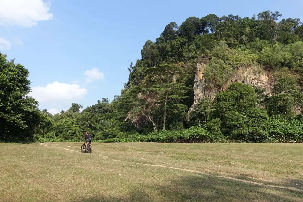
Getting started: Bukit Gombak MRT Station
I started this hike after lunch and got to the end just before dusk. The first stop is an abandoned quarry that I had been intending to visit for a long time. There isn’t any proper path here, and a little bit of roughing to do to find the quarry, so if you prefer something safe(r), skip Seng Chew Quarry, as the second stop requires passing Bukit Gombak MRT Station again.
Getting to Seng Chew Quarry
From the station, exit in the direction of Bukit Gombak Sports Hall and follow the park connector under the train tracks. You’d pass a hill with dense foliage on the right. About 250m later the foliage clears, and there should be a drain on its border, often with an outflow. The water comes from the quarry, and tracing it would lead you there. However, I found the hill to steep to climb and so I went around it, turning right at the block of flats. Beyond the block of flats the hill is gentler to climb. Here’s where I started climbing in.

This drain leads towards the quarry too. Here’s the view from the top looking down:

From the top, continue along the drain towards the forest, turning left to head deeper in. Though there isn’t a pavement, the clearing beside the drain is wide enough to walk on.

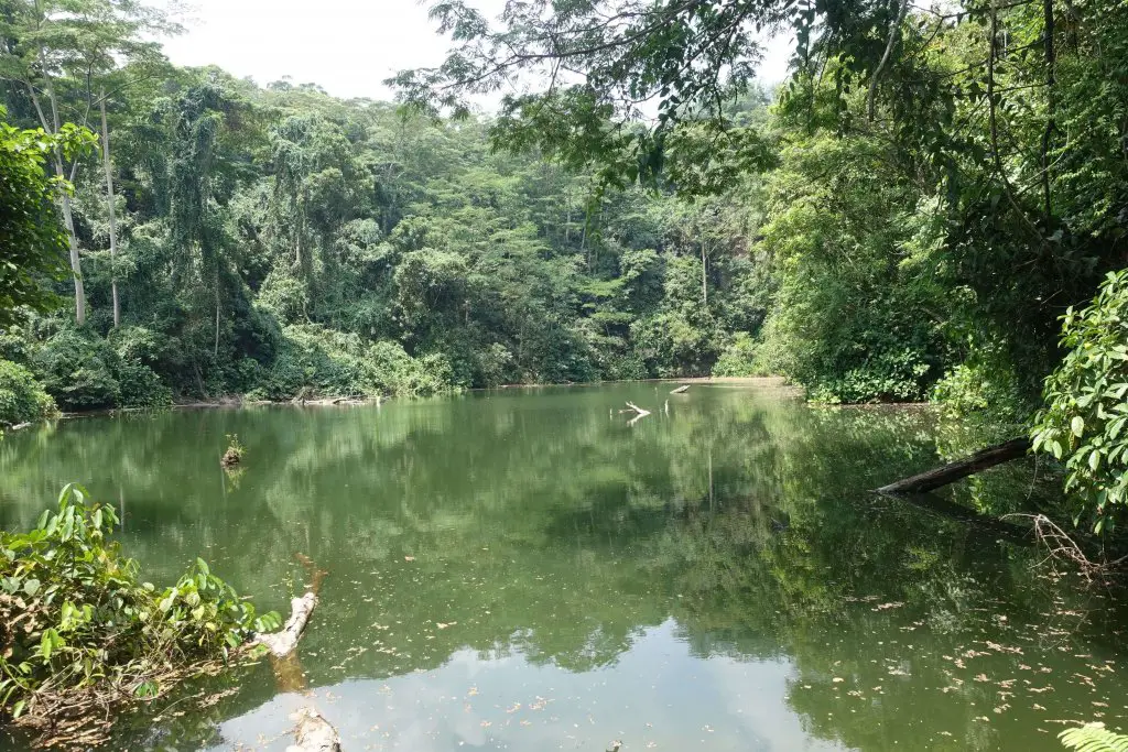
Seng Chew Quarry
Around 50m into the forest there’s a broken fence, and beyond the fence, Seng Chew Quarry. Feels almost surreal, just minutes from the busy heartlands. Abruptly, not a single soul in sight. Over the years nature has reclaimed what’s hers. There must have been dozens of different bird species from their calls I heard, though I couldn’t spot them. All was quiet, the water was still. Just a few last pieces of paradise in Singapore where you can get away from everyone, even if just for moments.
Getting to Little Guilin
From Seng Chew Quarry, retrace your steps to Bukit Gombak MRT Station. From Bukit Gombak MRT Station, follow the park connector towards Bukit Batok Town Park. It’s about 250m from the MRT station.
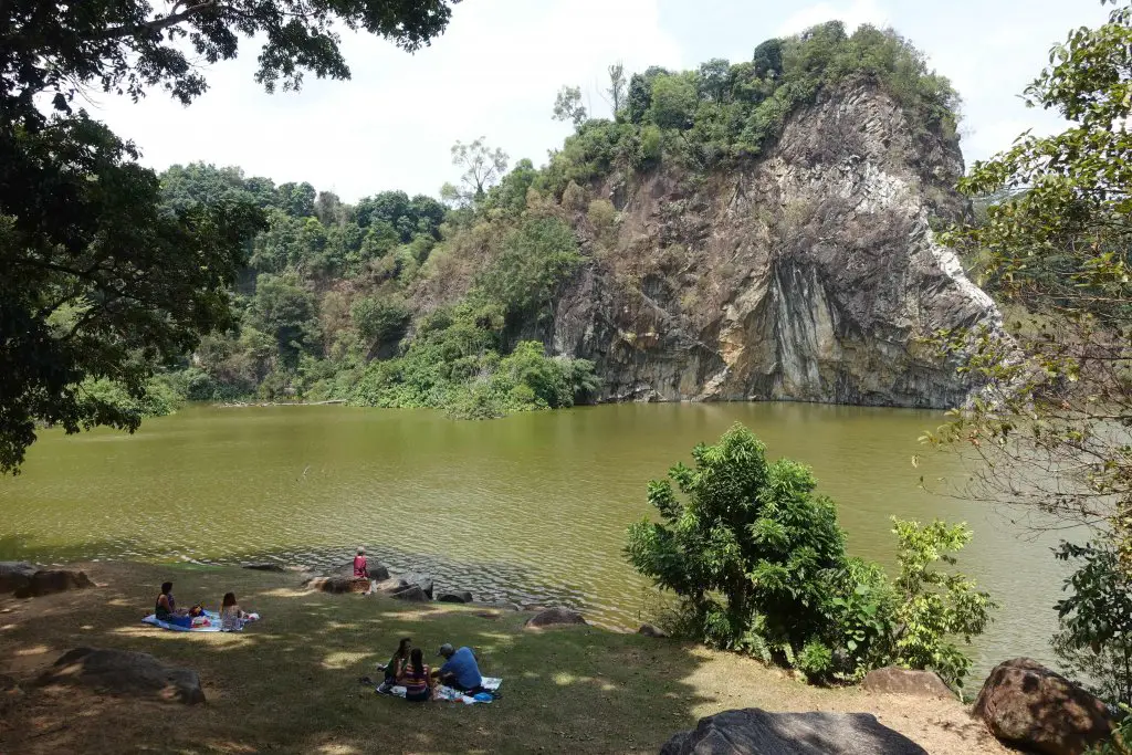
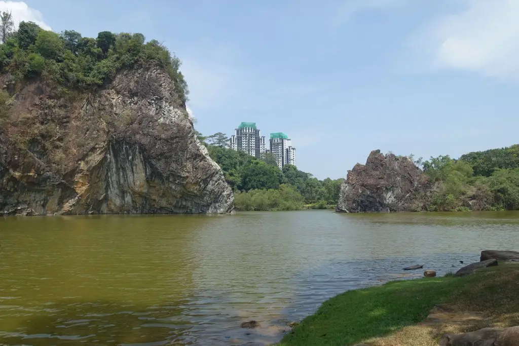
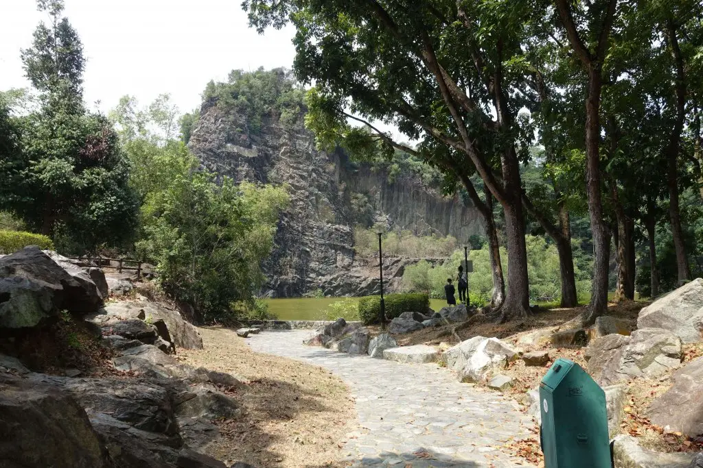
Little Guilin
Bukit Batok Town Park is also affectionately known as Little Guilin, due to its apparent resemblance to the actual namesake in China. What used to be a rumbling granite quarry is today a peaceful and scenic spot. While it may look like water just filled in to create the lake, much engineering effort had gone into ensuring that the water does not stagnate, while at the same time remaining at a safe level. It’s perfect for a picnic, though there are no shops around so get snacks from the MRT station before heading over.

Getting to Bukit Batok Nature Park
Now on to the other end of Bukit Batok, where there is another former quarry that’s easily accessible to public. One’s the Town Park, the other the Nature Park. Both parks are connected via park connectors so it’s pretty easy to follow. Basically follow the signs towards Bukit Batok Nature Park. It’s a short stretch through Bukit Batok housing estate.

Here’s a detailed walk-through: Continue on the road that goes along the edge of Little Guilin (Bukit Batok East Ave 5) till you reach the mosque at the junction with Bukit Batok East Ave 2 (~450m from the end of the lake). Turn left on to Bukit Batok East Ave 2 and head to the end of the road (~500m). Turn right on the T-junction and you’d still be on Bukit Batok East Ave 2. Continue down the road. A heavy vehicle park will first appear on your left (~200m from the junction), and shortly afterwards, the entrance to Bukit Batok Nature Park (~250m from the heavy vehicle parking lot). The distance from the end of Little Guilin to the entrance of Bukit Batok Nature Park is about 1.4km.
Bukit Batok Nature Park
The quarry in Bukit Batok Nature Park is a smaller one, and surrounded by secondary forest. There’s a straight path in, almost perpendicular to the road, that leads to the quarry pool. Time to leave the traffic behind for greenery again.
After awhile, the foliage clears and a tall transmission tower comes into view. There are actually 2 atop Bukit Batok hill. These are TV transmission towers. The first TV transmission tower in Singapore was once there too.

Upon passing the toilets and the playground you’d catch the first glimpse of the quarry pond. In my opinion this earlier viewpoint is better than the later one.

The official lookout point is further in. Along the way is a banyan tree that has grown all over a rock and looks pretty cool.
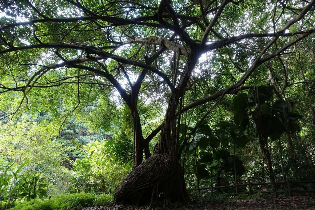
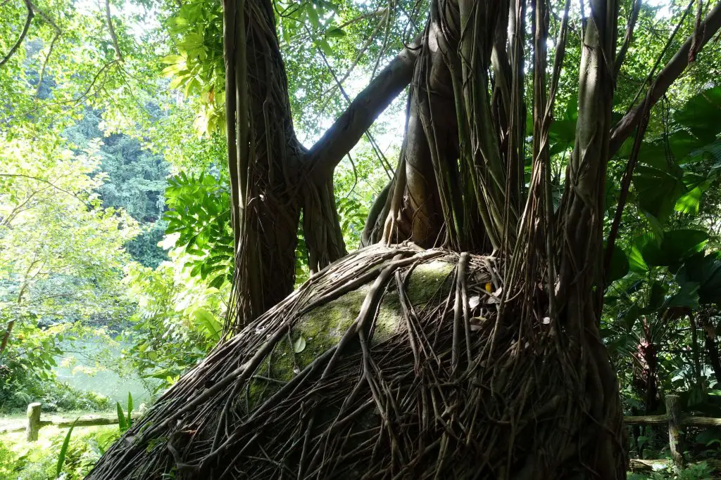
All the way in, you’d find the official lookout point, a little strip of land sticking into the pond, surrounded by granite cliffs left behind by quarrying. I found it a little too near to the rock face for a good view. Nonetheless, a nice and serene spot.

The next stop is the top of Bukit Batok hill (where the transmission towers are). To get there, backtrack a little and look for the path heading to the left (to the right of the cliffs). It go uphill and deeper in the forest. There are a few flights of stairs to climb. At some point you’d be along the cliff but there isn’t much of a view as the area is overgrown. Watch out for monkeys here, keep food out of sight. The path narrows and clings to the hillside before merging with the road again at the end of the path.

Bukit Batok Memorial
Emerging from the forest, there’ll be a long flight of stairs to the left. It leads next to beside the transmission towers. The towers are fenced off, so the stairs seemingly lead to nowhere today. However, during the Japanese occupation in World War Two, the Japanese had built a war memorial at the top of the flight of stairs. Fierce battles had taken place nearby around Bukit Timah and thus they had chosen this spot. The memorial, Syonan Chureito, was one of two war memorials the Japanese had built during their occupation. Both were destroyed when the Japanese surrendered, marking the end of World War Two. Today all that’s left is the flight of stairs at the end of Lorong Sesuai, and an information board marking Bukit Batok Memorial.

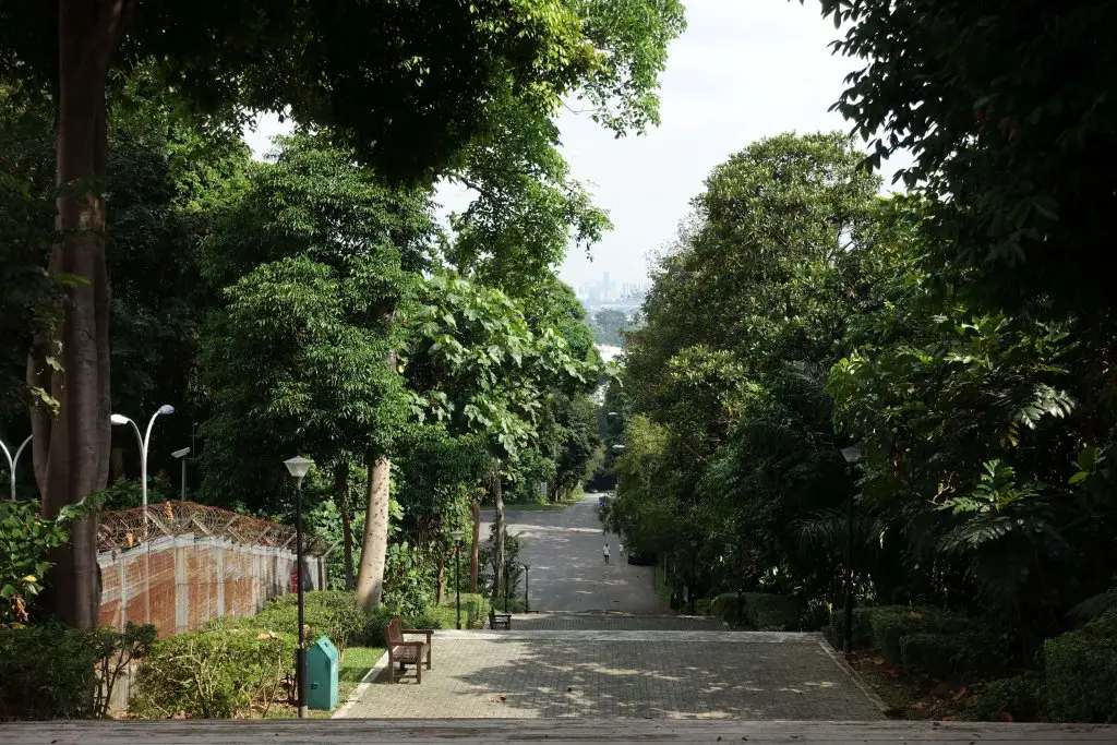
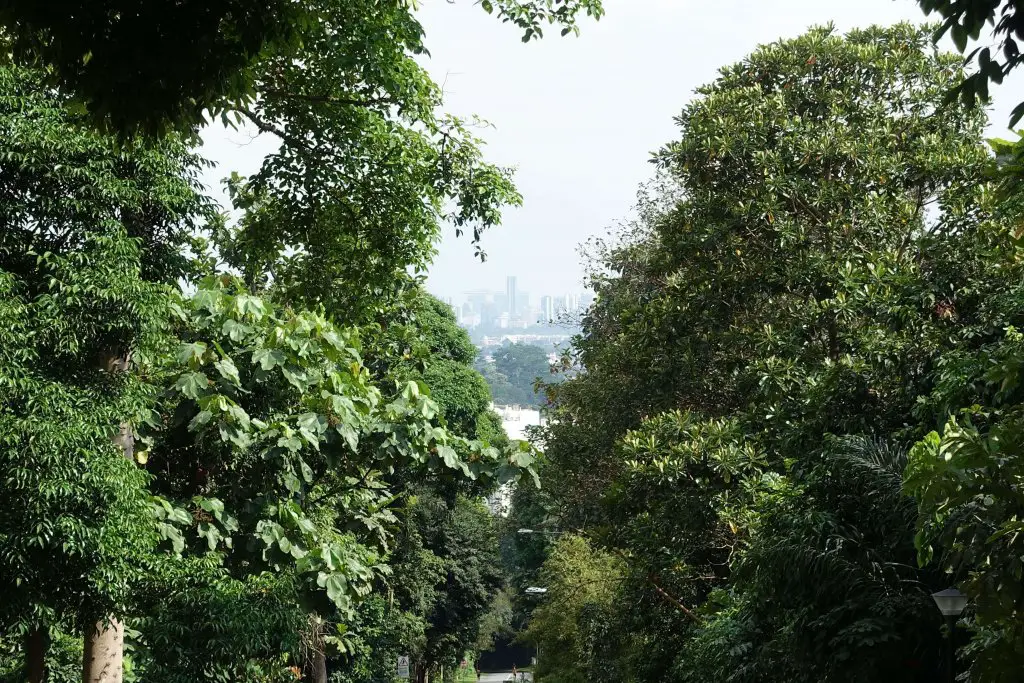
The flight of stairs makes for a good workout though, and on a clear day you’d be able to spot Marina Bay Sands and the Central Business District in the opening through the foliage.

View from Bukit Batok Memorial. Marina Bay Sands and the CBD in the distance.
Lorong Sesuai
At the base of the flight of stairs is a long, straight road that goes all the way to the foot of the hill. The direction of the road is also straight towards the city, and is the direction to align yourself with for views of Marina Bay Sands and the Central Business District. Follow the road all the way down for the next stop.

Midway down, Bukit Timah Nature Reserve will be visible on the left, and the transmission towers at the top are where today’s itinerary will eventually lead to.


Old Bukit Timah Fire Station
Across the road at the foot of the hill is the former Bukit Timah Fire Station, which operated between 1956 and 2005. This was the fourth fire station to be built in Singapore and is situated next to where the old railway that connected Singapore to Malaysia once ran. Today you’d be able to find a restaurant there, as well as plenty of retro vibes.

Former Ford Factory
From the end of Lorong Sesuai, turn left on Upper Bukit Timah Road. If you keep to the same side of the road as Lorong Sesuai you’d pass another historical landmark about 400m later, the former Ford Factory. This was the first motorcar assembly line in Southeast Asia, built in 1926. During World War Two, this was where the British signed their surrender of Malaya to the Japanese.

It is currently a museum, a third of it of it about WWII, another third on the Japanese occupation, the final third on how Singapore has done amazingly well under the ruling party since independence. It’s free for locals and just S$3 for foreigners, and probably worth an hour or two if you decide to stop by. In my opinion there isn’t anything particularly new or special, but that may be due to the content being similar to what I had grown up learning in history lessons. If you’ve plenty of time it may be worth exploring, but you won’t miss much just enjoying the distinctive architecture on the outside.
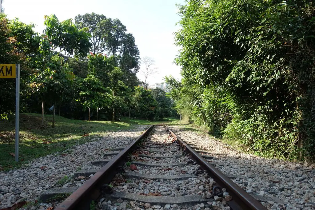
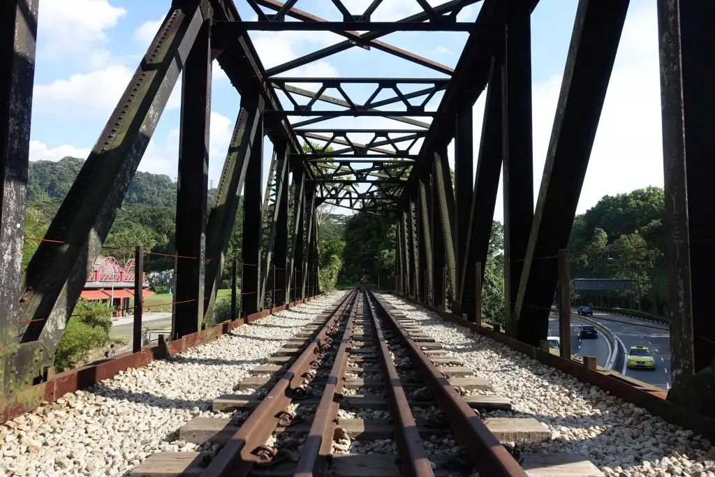
Old Railway Bridge across Upper Bukit Timah Road
Another 700m down the road from the former Ford Factory is a bridge that was part of the old railway connecting the ports of Singapore in Tanjong Pagar to Malaysia and Thailand. Trains ran across this steel truss bridge, like similar ones in the area, between 1932 and 2011. Trains no longer runs here as they starts from Woodlands in the north now. It used to be a popular spot for photo shoots, but as of my last visit in 2019 was closed for renovations. It should open again in the future as part of the green corridor, the strip of land where the railway once ran that will be converted for recreational use.


Rail Mall (detour)
Across the road, either via the railway bridge or the overhead bridge slightly further down, is Rail Mall, a row of single story shops along the road. There’s a supermarket and some restaurants here if you need a break to get something.

Getting to Singapore Quarry
If you’ve broken up the itinerary and will be going straight to Singapore Quarry, it’s pretty straightforward from Hillview MRT Station. Follow the signs towards Singapore Quarry, which should lead you across a grass patch around Salvation Army. Once on the asphalt track just follow it all the way in (~1.4km from Hillview MRT Station).
If you’re coming from Rail Mall or the railway bridge, it’s much nearer but slightly more complicated. From the bridge make your way past Fuyong Interim Park on to Jalan Asas. Turn right and head towards the end, just couple of meters away. If you’re coming from Rail Mall, head towards the southern end (towards the railway bridge) and follow Jalan Asas to the end.
From the end of Jalan Asas, cross the grass patch to the right. Beyond the grass patch you’ll find the asphalt road mentioned above that leads to Singapore Quarry (~800m from the railway bridge, ~900m from Rail Mall).
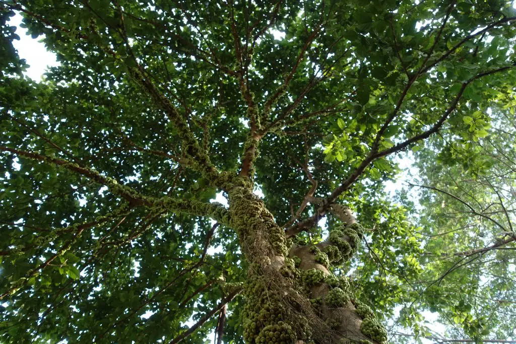
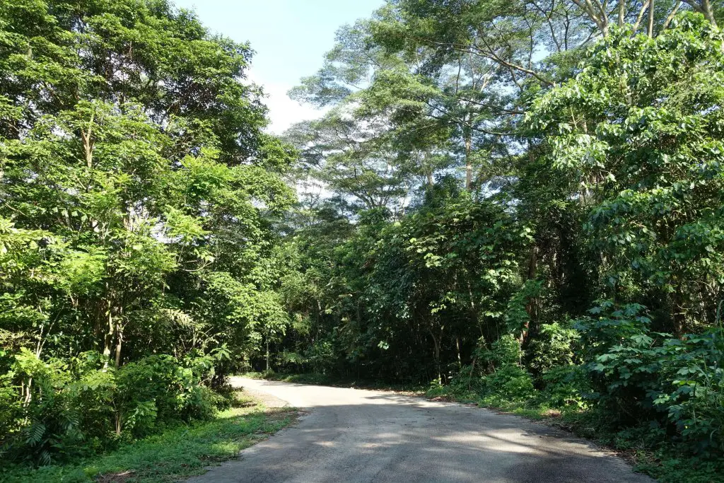
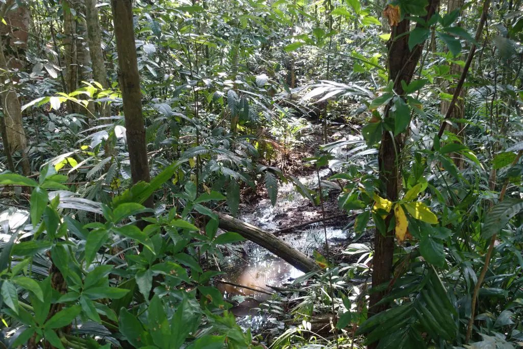
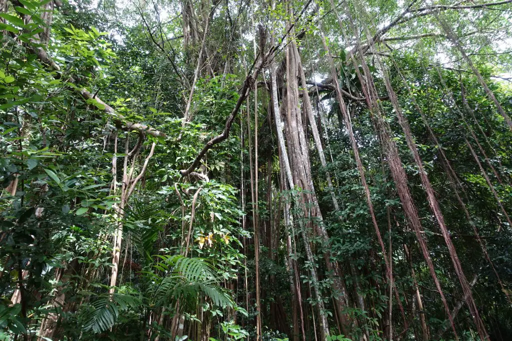
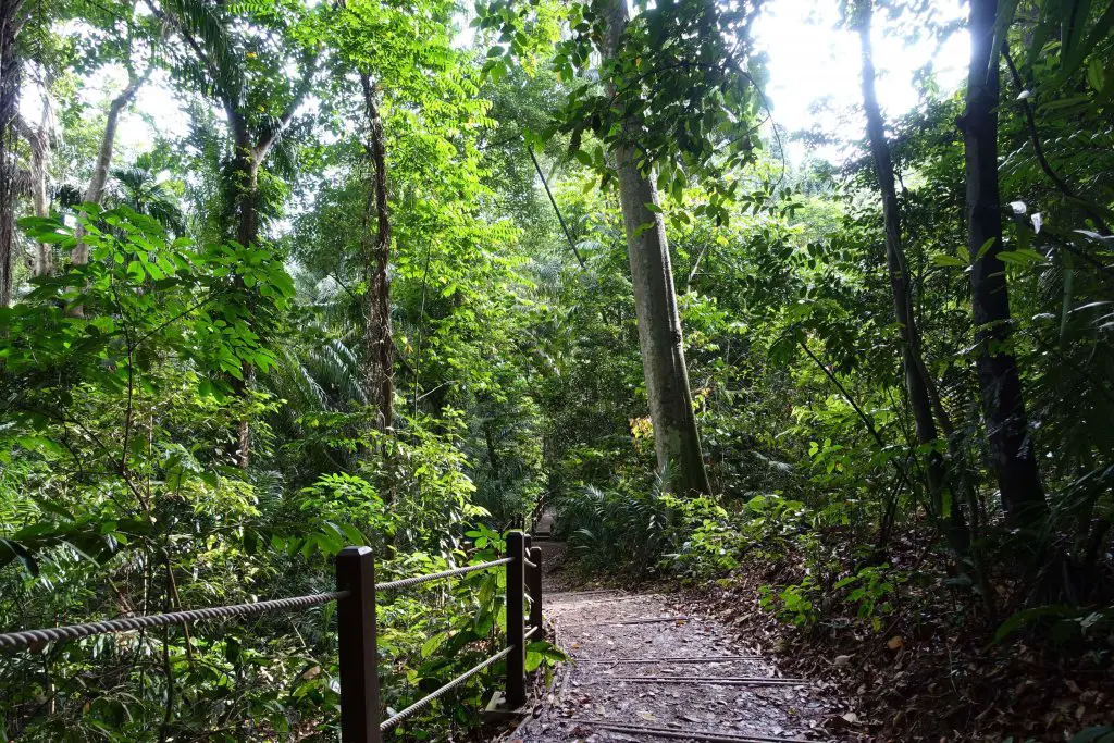
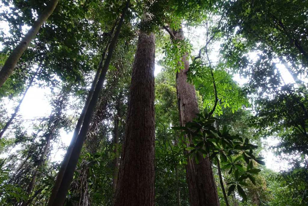
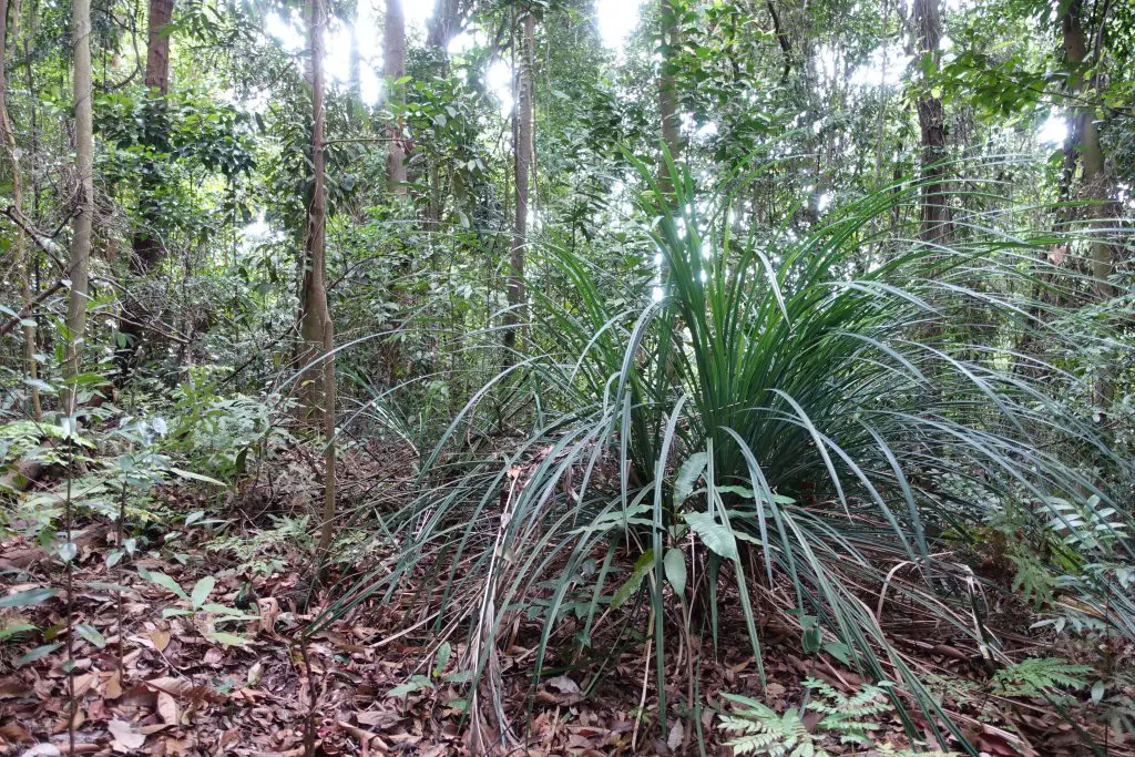
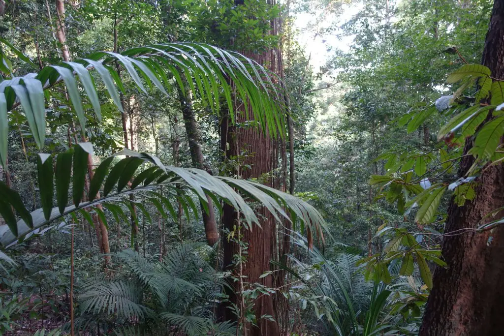
Once on the asphalt path, the buzz of traffic starts to fade away. In no time you’re surrounded by tall trees, plants of odd shapes and sizes, and if you look closely enough, maybe animals too.
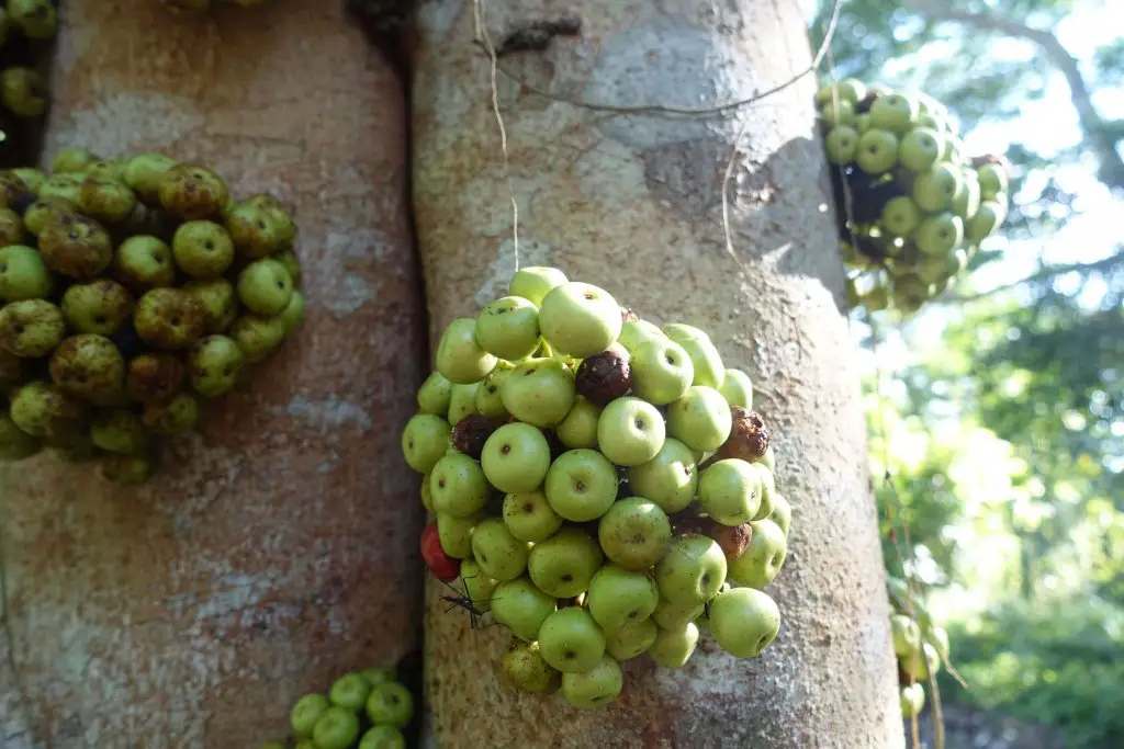
Are these figs? The fig tree. Path to Singapore Quarry. Forest stream.
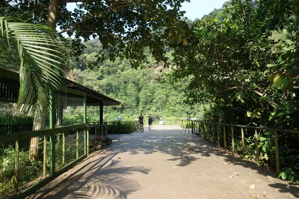
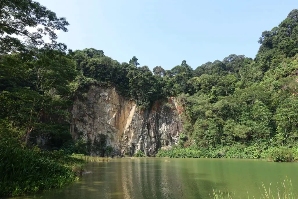
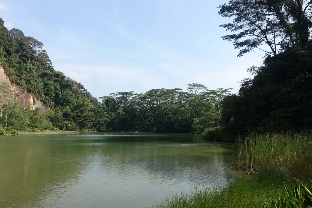
Singapore Quarry
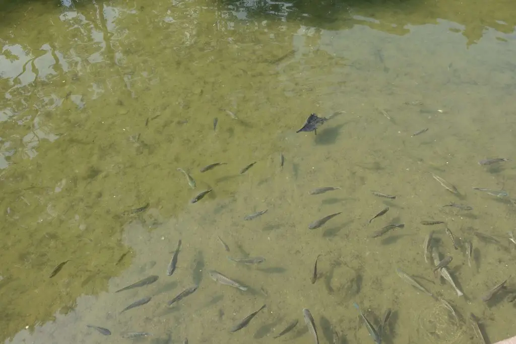
When the wide asphalt path turns into a narrow gravel road you’re almost there. The towering granite cliffs come into view. Over time rain has turned the quarry pit into a wetland. A wooden platform extends slightly over the waters. A strange calm fills the air. Across the water, up on the trees and in the sky, birds and animals rarely seen elsewhere in Singapore venture freely, as if forgotten in a place where control over almost every aspect of the environment is emphasized.
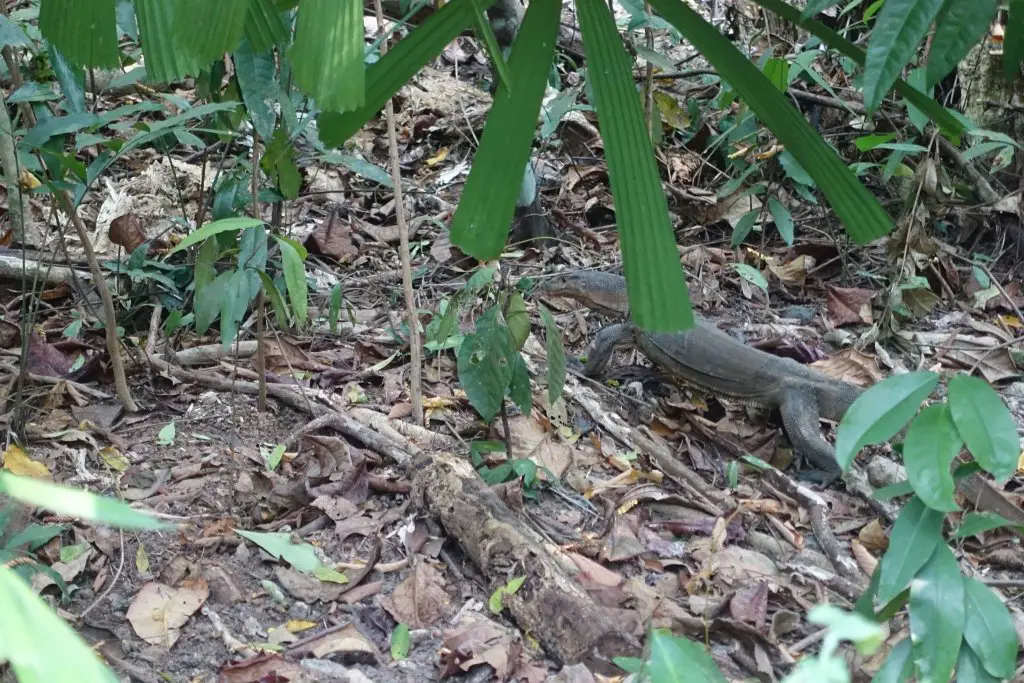
The fish were probably brought in though, since the water body is in a way non-native. Birdwatchers seem to like this place, as do families with kids getting excited over how near the big fishes got to the platform. At the edge of the water I spied on a large monitor lizard slithering along.

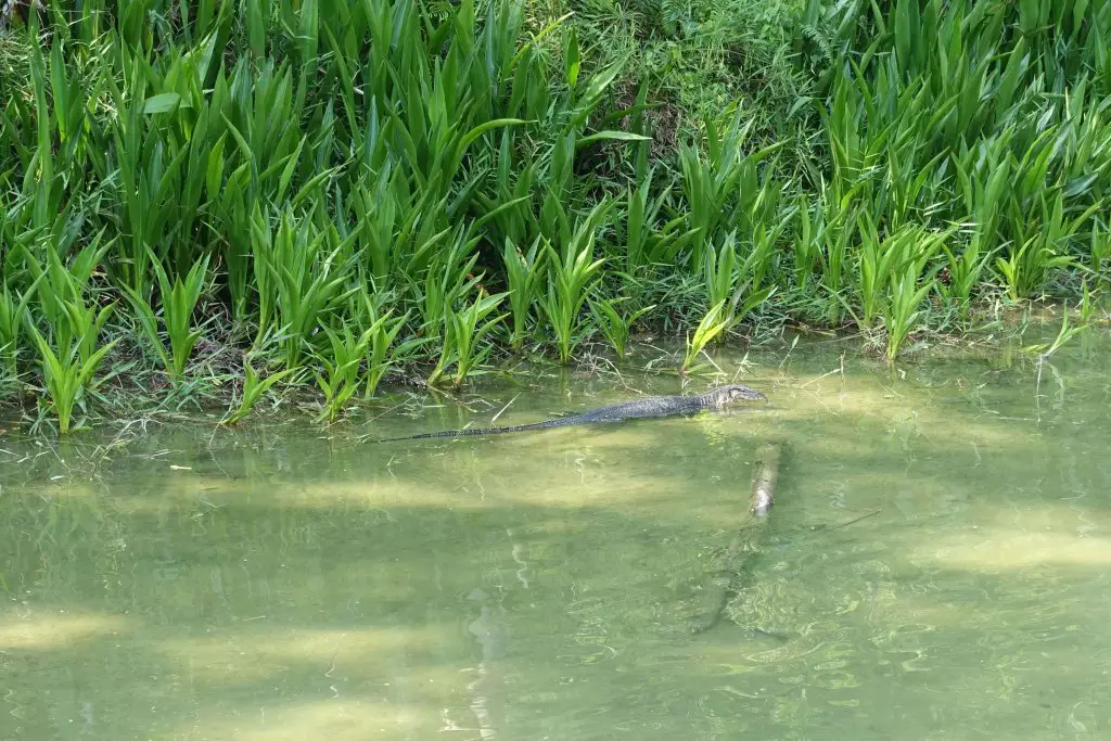
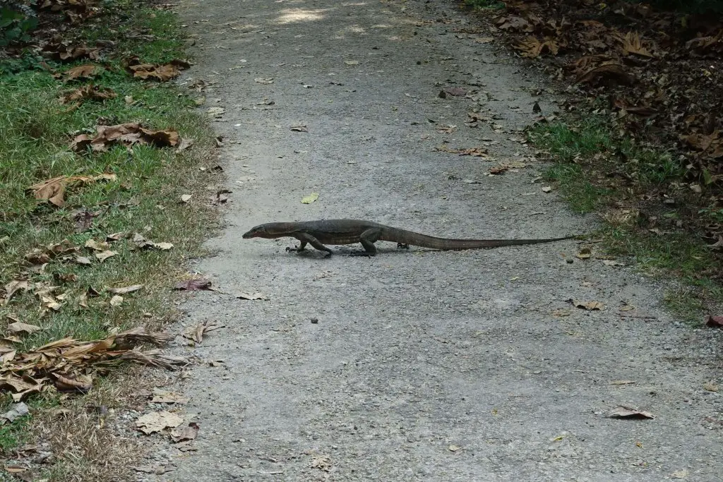
Monitor lizards are pretty common in Singapore’s nature reserves. The one that’s most commonly seen is the Malayan Water Monitor Lizard. It can grow up to 3 meters long. They usually run when they see people, but do not get too close as they may attack if provoked. Here’s another one I spotted on the way out of Singapore Quarry.
Getting to Dairy Farm Quarry
From Singapore Quarry, backtrack along the same path you came in by (do not exit at Jalan Asas). Continue straight until you pass MOE Dairy Farm Outdoor Adventure Learning Centre. That’s also where the exit to Hillview MRT Station is so if you need to break up the itinerary here’s a good place to do so.
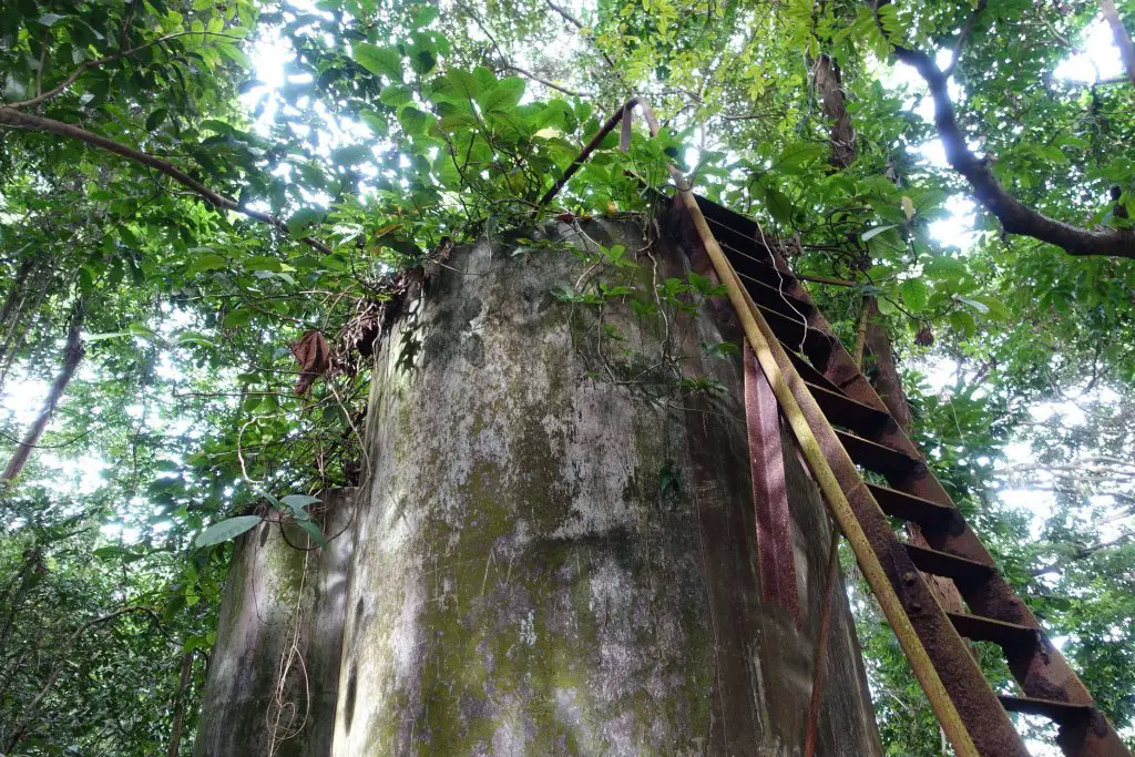
After MOE Adventure Centre, turn right into the small road. The path starts wide and bright, eventually narrowing and coming to a stop near an old gantry. You should be going in the same direction as signs to Dairy Farm Quarry.
Road towards Dairy Farm Quarry. Huge banyan tree. An old building along the way. The trail beyond the road.


The trail beyond the road is relatively easy to follow. However, the final 100m of the hiking path merges with the mountain biking trail, so it’s good to be careful here. There are signs at the junction informing you to look out for bikes, and from that sign you should be taking the left.
Dairy Farm Quarry
Dairy Farm Quarry is just beyond the forest. Unlike the other quarry pits, Dairy Farm Quarry was filled in. Today there is a mountain biking trail running across the filled quarry, as well as rock climbing walls on one side of the quarry. The large open space is great for a rest or picnic, though there is not much shade available. There are no shops here, so stock up at Rail Mall.
Dairy Farm Quarry is so called because there used to be a dairy farm in the area. In fact, it was the world’s first tropical dairy farm. All that remains of the farm is the building that houses the Wallace Education Center, coming up next. For visitors on foot there is only one way in and out of Dairy Farm Quarry, so to get out, head back towards MOE Dairy Farm Outdoor Adventure Learning Centre (~450m). From the junction take the other branch, towards Wallace Education Centre/ Bukit Timah Summit. On the way you’d pass car park B, where there are water coolers and toilets (~800m).
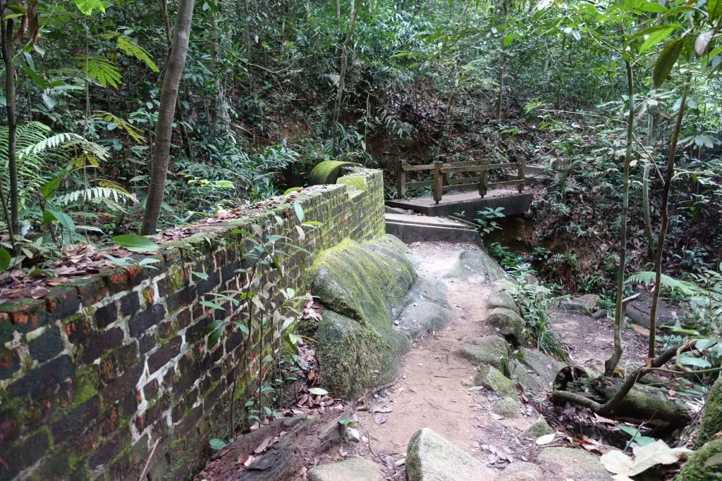
Beyond the rest stop at car park B, the path diverges from the road and heads deeper into the forest. About 300m after the rest stop, there’ll be 2 options: the path to the left is Wallace Trail, a short detour that will take you through some native fruit trees and remnants of an old village. The path to the right begins the hike to the summit of Bukit Timah. If you have sufficient time you can complete a round of Wallace Trail, check out Wallace Education Centre, then return to this point to hike up Bukit Timah hill.
Wallace Trail (detour)
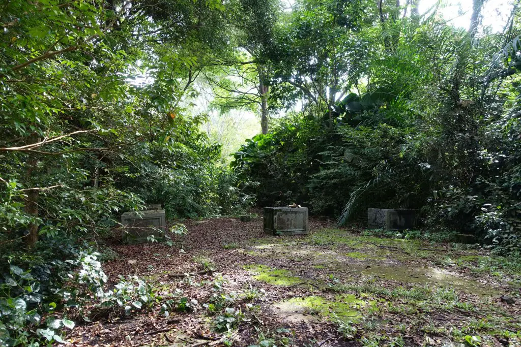
There’s both a short (1km) and long (2km) trail option on Wallace Trail. The short trail basically cuts back halfway through and seems sufficient to see most of the highlights. Look out for durian trees, chempedak trees and other unique plants here. Halfway through there are also remnants of the village that was once here. The Wallace Education Centre was the cow shed of the old dairy farm, where the Dairy Farm area is known after. There are information boards that shed some light on the history and biodiversity of Bukit Timah, and what Alfred Wallace had to do with the place.
Remnants of the village. And more relics.

Getting to Bukit Timah summit
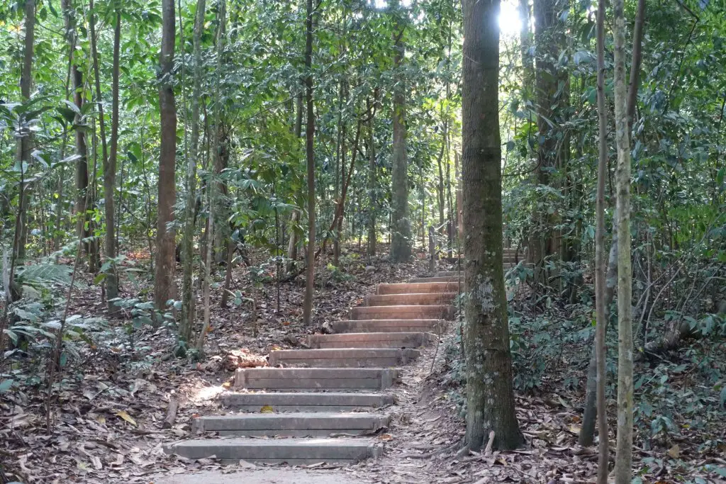
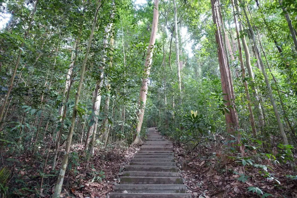
This has got to be the easiest climb to the highest natural point of any country. It’s still a climb though, with plenty of steps. You’d probably need to try very hard to get lost up here, as the paths are clearly marked out and signposted. At a brisk pace, taking the most direct route from the Wallace Trail junction, you’d be able to reach the top in 20 minutes or less. Take the Dairy Farm Loop in the clockwise direction, switch on to Rengas Path, then on to Main Road (the main path) uphill for the final bit. Here’s what you can expect on the direct route – lots of trees and stairs:

Alternative paths to the top (detour)
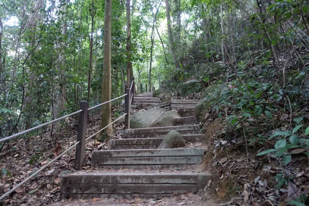
There’s also an alternative path to the summit that’s longer but less crowded. The path starts the same from the junction with Wallace Trail. After 50m you’d reach Dairy Farm Hut. The most direct path to the summit is to the left. The trail leading from the back of the hut will take you on the other route. It first leads to North View Hut, where there isn’t much of a view. The forest walk is more peaceful though. Continuing along Dairy Farm Loop you can take another detour to the Jungle Fall Path, which traces around the top of Singapore Quarry. Here’s where you’ll find more stairs and cliff edge signs. The other end the Jungle Fall Path joins to the Main Road to the summit.

Bukit Timah Summit
The summit of Bukit Timah is a little anti climatic though. No breathtaking views or landmarks, just a little hut surrounded by dense forests. It’s pretty much catch your breath, get a shot with the summit rock for memories, then continue on the way down.


Summit Step
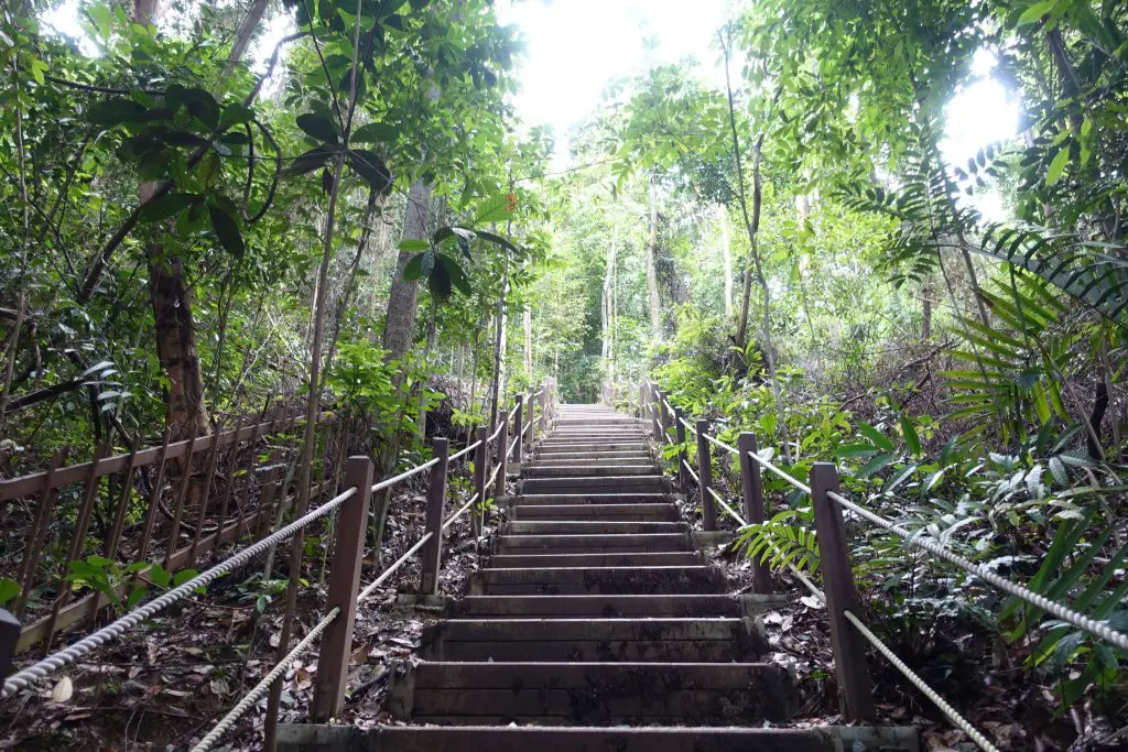
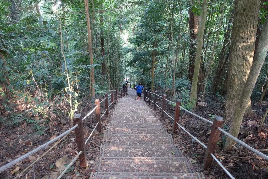
In front of Summit Hut there’s a wooden platform leading to the right. From there, you’d find a long and steep flight of stairs, Summit Step, that shaves off one round around the summit compared to the Main Road. If that’s too steep consider going around the Main Road, which at 540m is slightly further than the stairs (150m). The end of the stairs joins back with Main Road again.
Summit Step, looking down. From the bottom, looking up.
View over Hindhede Quarry (detour)
Near where Summit Step joins Main Road there’s a small road branching out, going towards the telecommunication towers. While the towers are out of bounds, there’s a view at the end of the road of Hindhede Quarry, where this itinerary is heading to next as the final stop of the day. Not a spectacular view though, given the thick foliage, but a unique one. After catching that small view, head back out along the Main Road.

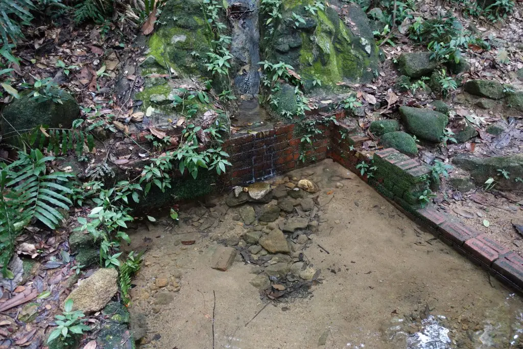
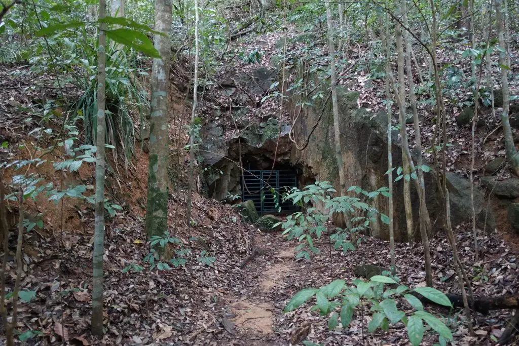
Cave Path (detour)
Slightly beyond Summit Step there’ll be a side path on the left towards Rock Path and Cave Path. If the well trodden path isn’t for you and you prefer something a little rougher on the way out, Cave Path is a nice option. Another reason (probably the more interesting one) for hitting Cave Path is to check out the two caves along this path, built by Japanese soldiers during the occupation for reasons still unknown. You can’t enter the caves but still, how cool is that. The Cave Path merges back with the Main Road further down the way.
Some well of sorts. Entanglement of roots. The first cave. Between the caves. The second cave. The surrounding forests.

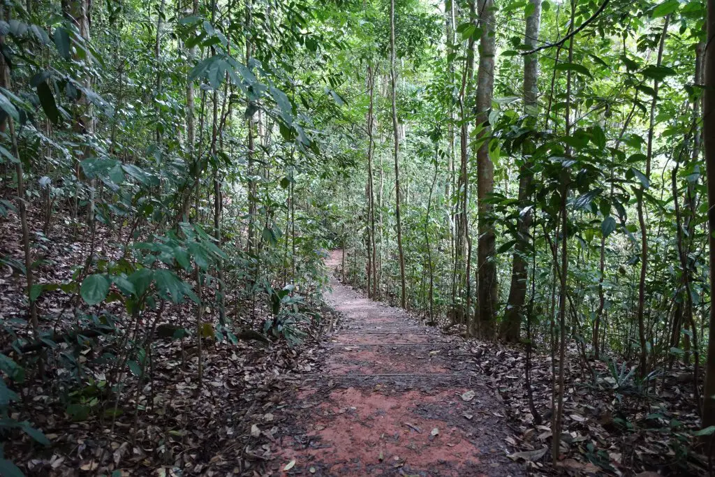


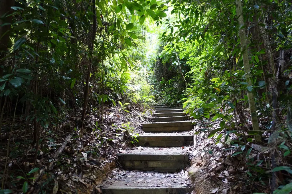
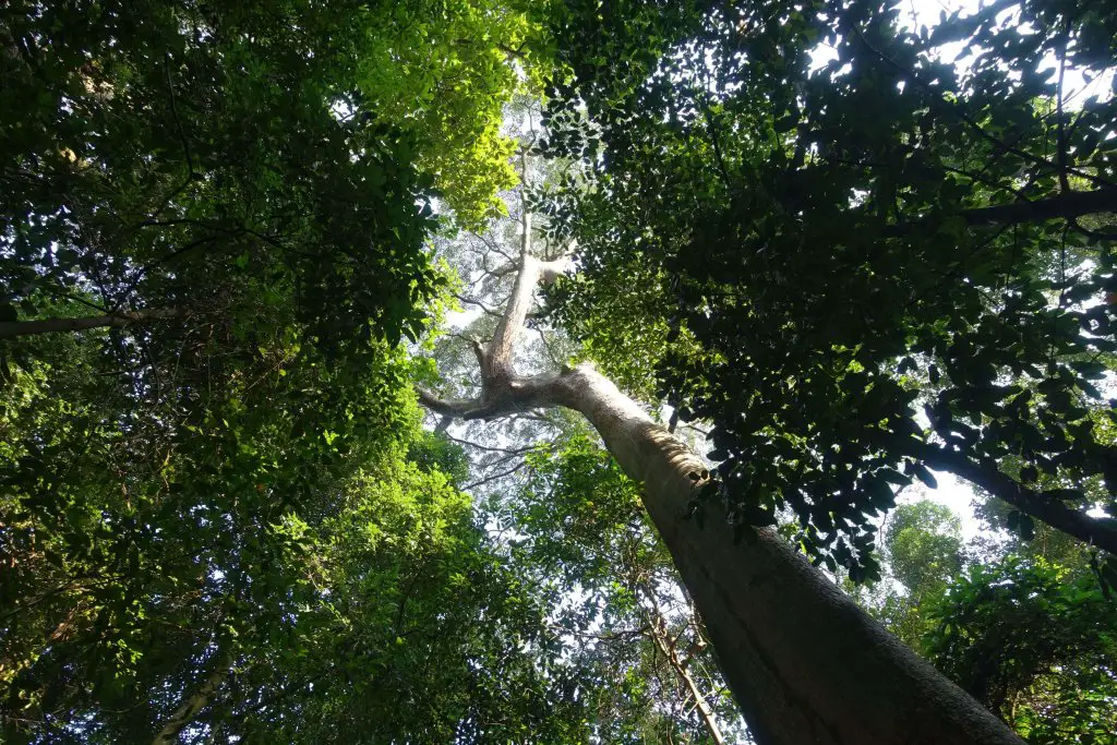
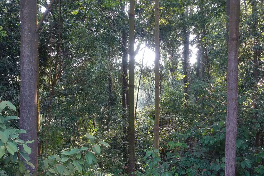
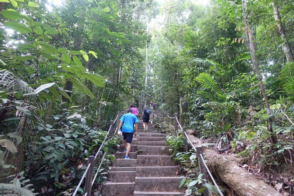
Bukit Timah Summit Main Road (towards visitor center)
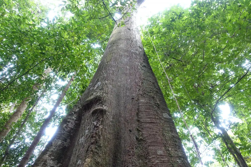
And for the easier way down, just follow the road like everyone else. You’ll reach the visitor center in no time. Last chance to take in the dense vegetation and tall trees for the day!
The main route between the visitor centre and summit. Winding along the hill. More trees. And huge trunks.
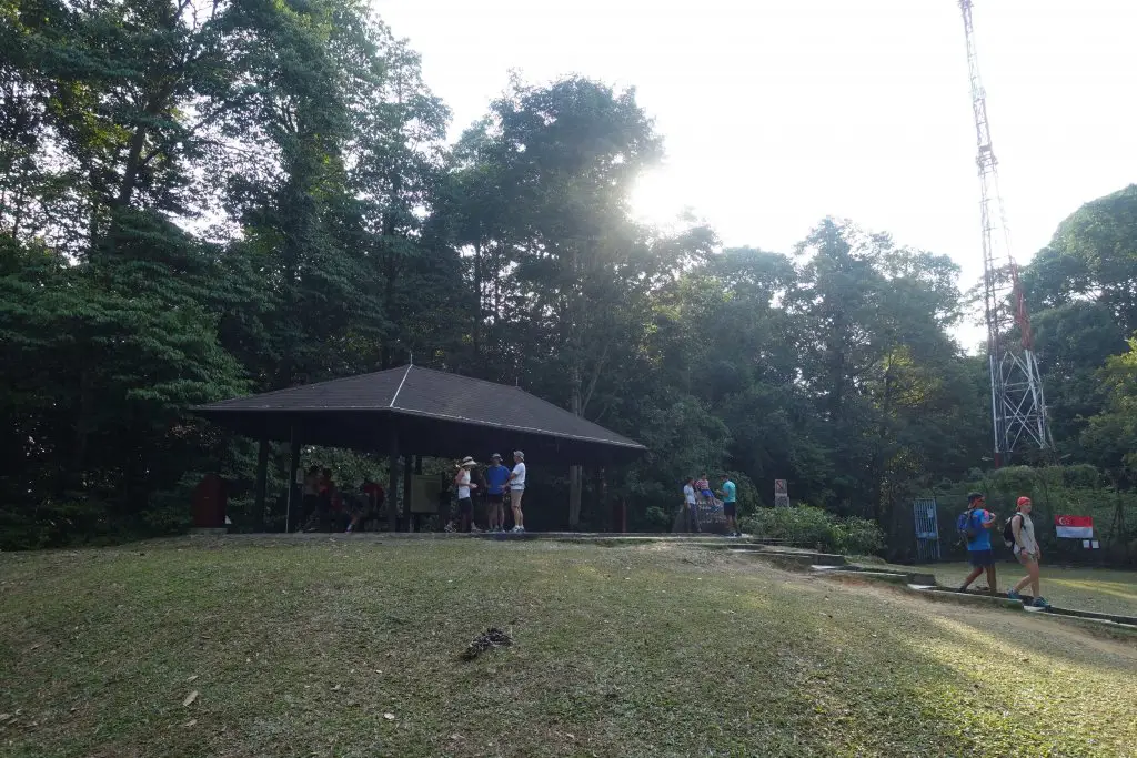
Bukit Timah Nature Reserve Visitor Centre
On the first floor of the visitor centre there are vending machines where you can get snacks and drinks. On the second there’s an exhibition where you can learn about the biodiversity of the surrounding forests. The exhibition hall is open between 8am and 5.30am daily. Pretty interesting exhibition with mock-ups and specimens but I had always arrived too late to be able to finish the exhibition.

On one of my visits I spotted this in the trees just outside the visitor centre. I think it was a Malayan Colugo with its baby. Awesome to be able to see these wild animals almost up close! For more on spotting colugos around the visitor centre you might want to check this out.

Hindhede Nature Park
To the side of Bukit Timah Nature Reserve Visitor Centre there’s a wooden pathway that leads towards Hindhede Nature Park. After the wooden pathway there are a couple of routes, but most generally head in the same direction, towards Hindhede Quarry.

Along the way there were more surprises in store, such as this Clouded Monitor Lizard next to the pavement digging through leaves.

And this Plantain Squirrel enjoying dinner.

Hindhede Quarry
Finally, the last stop for the day, Hindhede Quarry. Granite quarrying had continued up to 1990. Thrill seekers used to hang out here before water levels got too high and the area was closed to be turned into a park. Now everyone can enjoy the scenic quarry safely, though some may lament the loss of the element of adventure.


Getting Out: Beauty World MRT Station
The nearest MRT Station to Hindhede Quarry is Beauty World, about 1km away. There are also many public buses at the bus stops just beyond the car park on Upper Bukit Timah Road and Jalan Anak Bukit. If you’re leaving by MRT, there are plenty of restaurants around the station and at Beauty World Centre to replenish the lost calories.
Continuing your hike beyond Hindhede Quarry
While Hindhede Quarry is the final stop of this Quarries of Singapore hike, it is possible to extend the hike through forest paths to Central Catchment Nature Reserve, where you can visit the tree top walk and Macritchie Reservoir. Might add that as a future post!
Duration, Distance and Costs
There are no fees involved in visiting the parks and nature reserves. All you’d need to budget for is public transport to the start and from the end as well as food and drinks along the way.
As for distance, skipping all the detours (and museum) and doing just the quarries would be approximately 15 kilometers. At a brisk pace with some photo stops it take around 5 hours. There are a couple of climbs involved, but nothing too strenuous (the highest point is after all just 164m high) so some fitness would be good to be able to enjoy the walk. I’ve included below the route I took on my last trip that skips all the detours. Ignore the country and location though, I haven’t figured how to correct them.
Thoughts and feedback
This is my second attempt at connecting some of the unique nature spots in Singapore in a hiking itinerary. If you’ve any thoughts or suggestions please share them with me in the comments below, looking forward them!
And that probably wraps up my destination posts for 2019, after cancelling my Hong Kong hiking trip due to the ongoing protests. Might add something here and there, but definitely looking forward to more hiking trips in 2020.


")

Hi,
Can you go through all these in one day?
Yup it’s possible, probably a full day because it is about 15km.
Yes, you can – I just did it also in 5 hours (moderate, not brisk) walk.
That’s great! Thanks Barett!
Thanks Aaron for sharing this experience in such detail! I followed practically almost everything and it made the hike all the more enjoyable.
Just a minor suggestion about where to start climbing the slope for Seng Chew Quarry – it’s best to start climbing up the slope immediately after leaving the PCN path; the slope there is even gentler than the one shown in the picture. 🙂
Thanks for the suggestion, Barett! Definitely useful tip for those heading to the quarry.
Is there a walking trail that connects 14 to 7? I noticed that there is a green dotted line, is that a foot path?
Hi Serene, I think that section is on the Rail Corridor. The last time I visited (Feb 2021), it was still closed. According to this article in March (https://www.straitstimes.com/singapore/4km-rail-corridor-stretch-between-hillview-and-bukit-timah-reopens), some of it may be open now.