It had been awhile since my last multi-day hike. One planned in 2019 was cancelled due to ongoing protests, then Covid 19 came and I had another cancelled. After the post-Covid acclimatization trip to Melbourne and the Great Ocean Road, I felt ready to resume hiking again, but knew I was pretty out of shape. Heading back for the familiarity of Tasmania, the Three Capes Track appeared to be exactly what I needed. Lots of nature and breathtaking scenery, a couple of days away from civilization, yet not too strenuous or wild. While it was the priciest hike that I’ve been on, the amenities, track amenities make up for it. As for the views, priceless. Here’s my experience on the Three Capes Track in December 2022.
The Three Capes Track, in Tasmania, Australia, is a 4 day, 48km, hut to hut coastal walk. Given its popularity, it has a fixed itinerary, which means you have to start on your selected date and get to the next hut each following day. Overall, I think the Three Capes Track is a great introduction to multi-day hiking. Amazing views, great amenities, and manageable effort (with some training). For a 3 minute summary of my Three Capes Track Experience, check out my highlights video here! (Almost) all the details you’ll need for planning the Three Capes Track in my next post.
Three Capes Track Day 1
The rendezvous point for the Three Capes Track at Port Arthur Historic Site. We opted for the afternoon departure to have some time to explore Port Arthur. The ruins were intriguing, and it was hard to imagine such a beautiful and peaceful place had such a terrifying past. It was also a reminder on how much humanity has progressed in the recent centuries.
Boat cruise to Denmans Cove
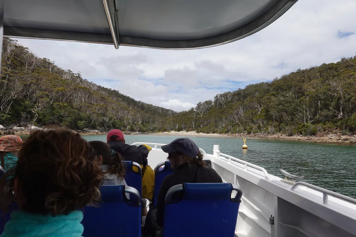
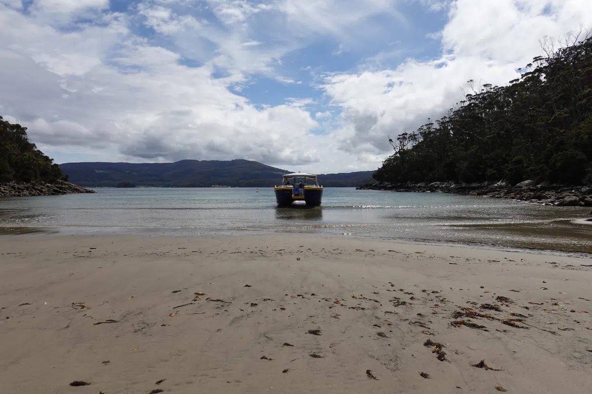
Apprehension crept in as we approached the time for the boat departure. Were we sufficiently prepared? Did we forget anything? Was the hike a terrible idea? It had been awhile since I’ve had a large pack on, but within a few steps the familiarity of hiking aches was flooding back. Most of the initial apprehension was lost when we caught up with the other groups, who were in high spirits. After a short briefing we boarded the speedboat for our cruise around Port Arthur en route to the starting point. As the boat picked up speed and leaped over the waves, adrenaline kicked in and any remaining apprehension was left behind at the pier.
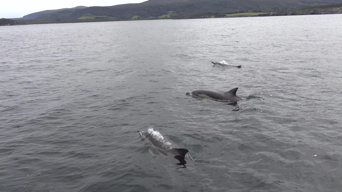
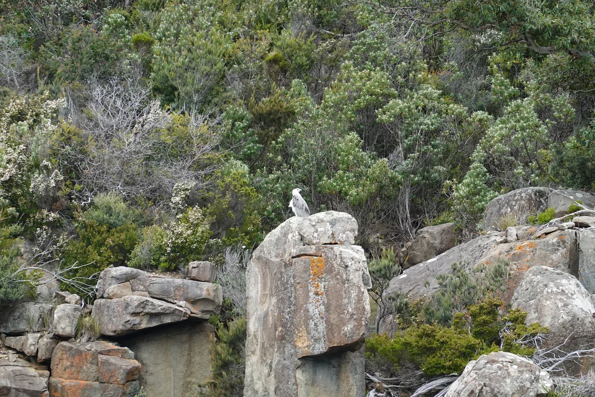
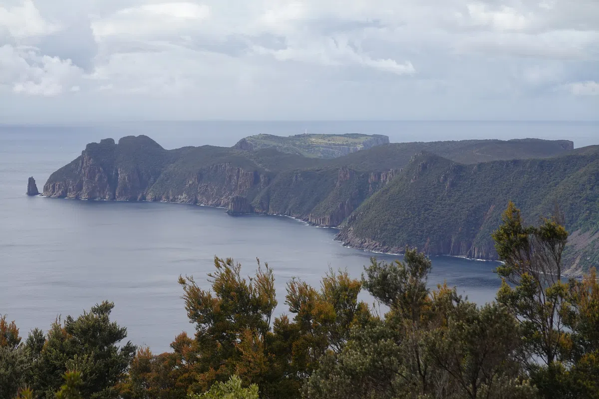
The ride towards the mouth of the bay gave us a glimpse of the days to come – soaring sea cliffs shaped by rough seas, with capes and bays stretching across the horizon. It was wild seeing dolphins porpoising right next to the boat and following us for a bit. There was even a little one struggling to keep up with the adults. Along the cliffs we also spotted a white bellied sea eagle. Not the rarest of animals, but nonetheless amazing to see up close in the wild.
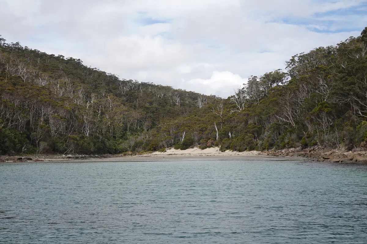
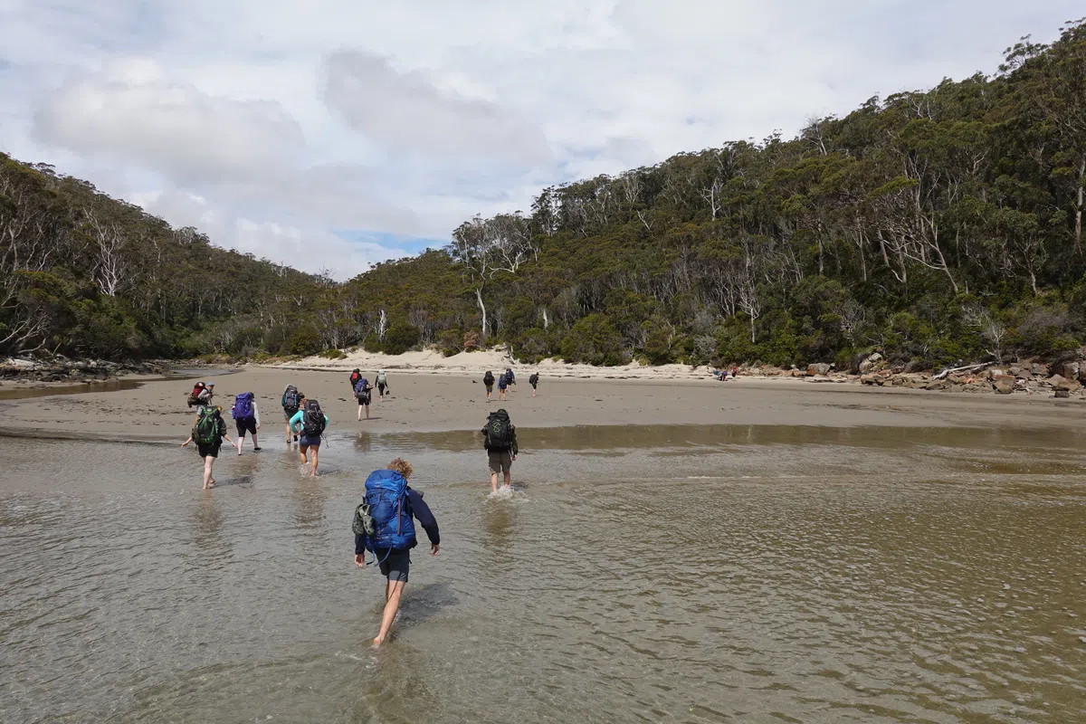
The joy ride ended at Denmans Cove, a calm sandy beach the other side of the bay from Port Arthur Historic Site. As the water was too shallow for the boat to reach dry land, we had to disembark some distance from shore, and waded through sheen to ankle deep waters for the last bit. Just the right way to start a 4 day coastal walk.
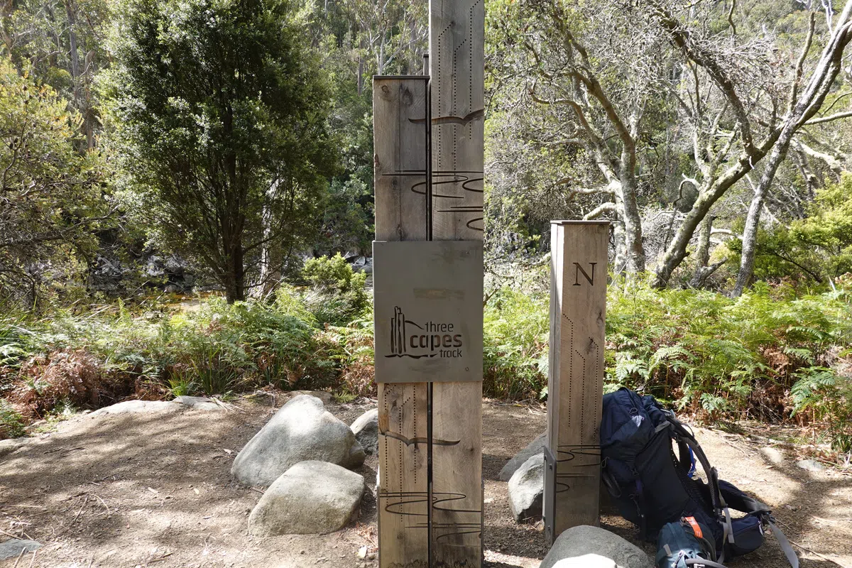
Start of the Three Capes Track
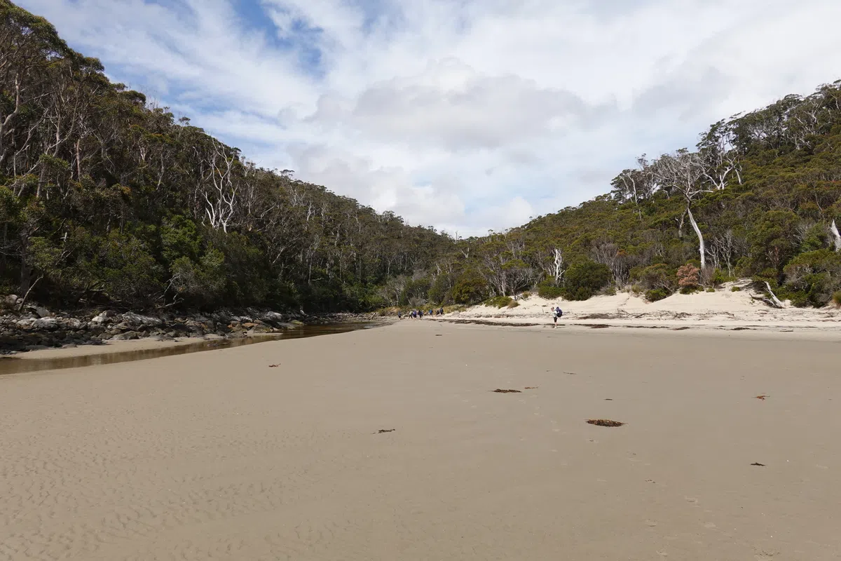
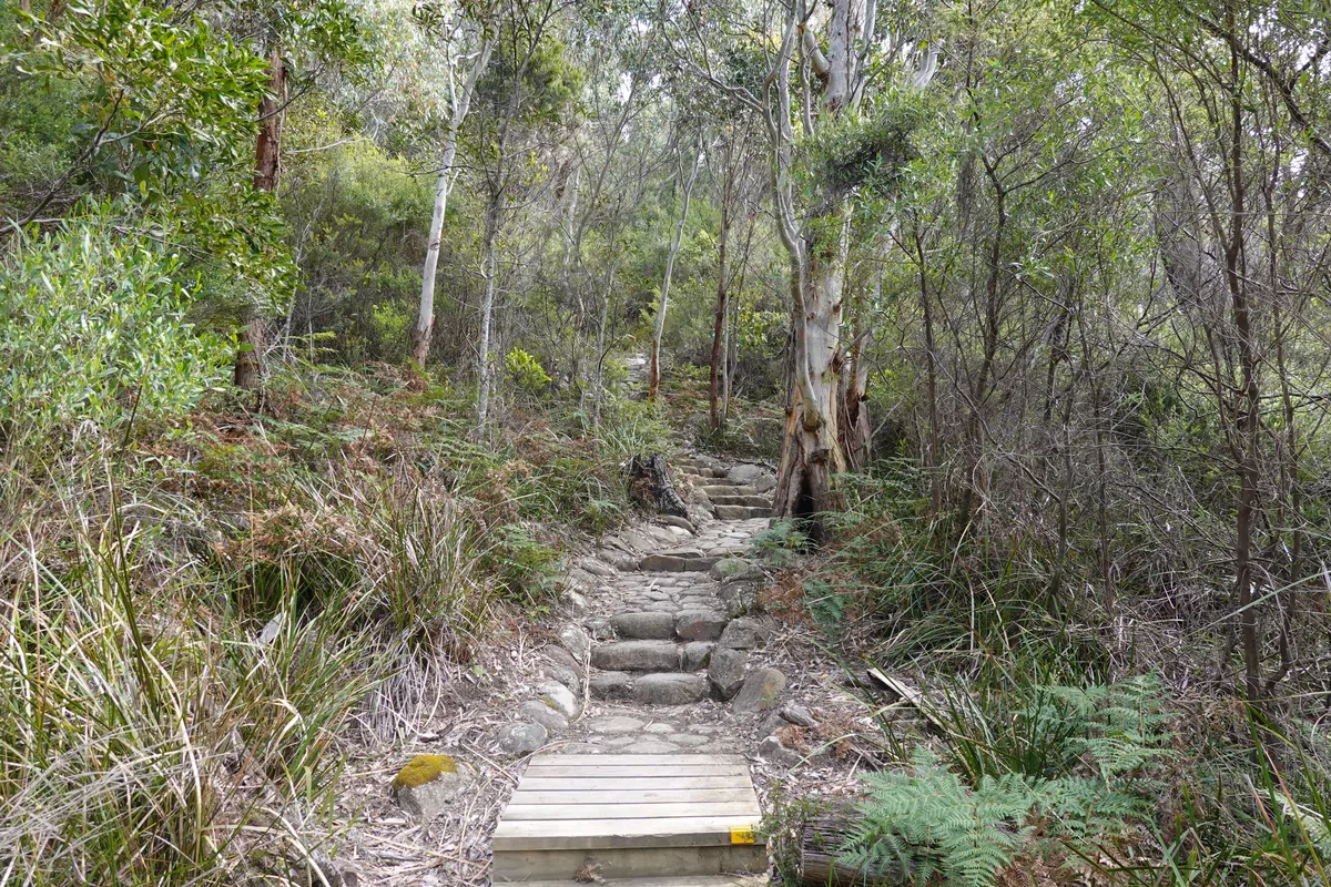
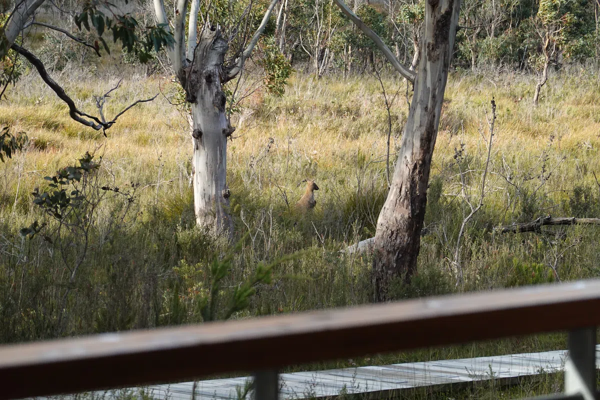
The first day’s hike is pretty light. A group opted for some sun and sea on the beach before starting. It was awhile since we got this far away from traffic, buildings and crowds. The moment was magical. Probably the best way to be stranded on a deserted beach, if you ever need to be.. A couple of meters from the staring point, we reached the boot washing station, well placed to keep nasty biohazards out of the fragile environment.

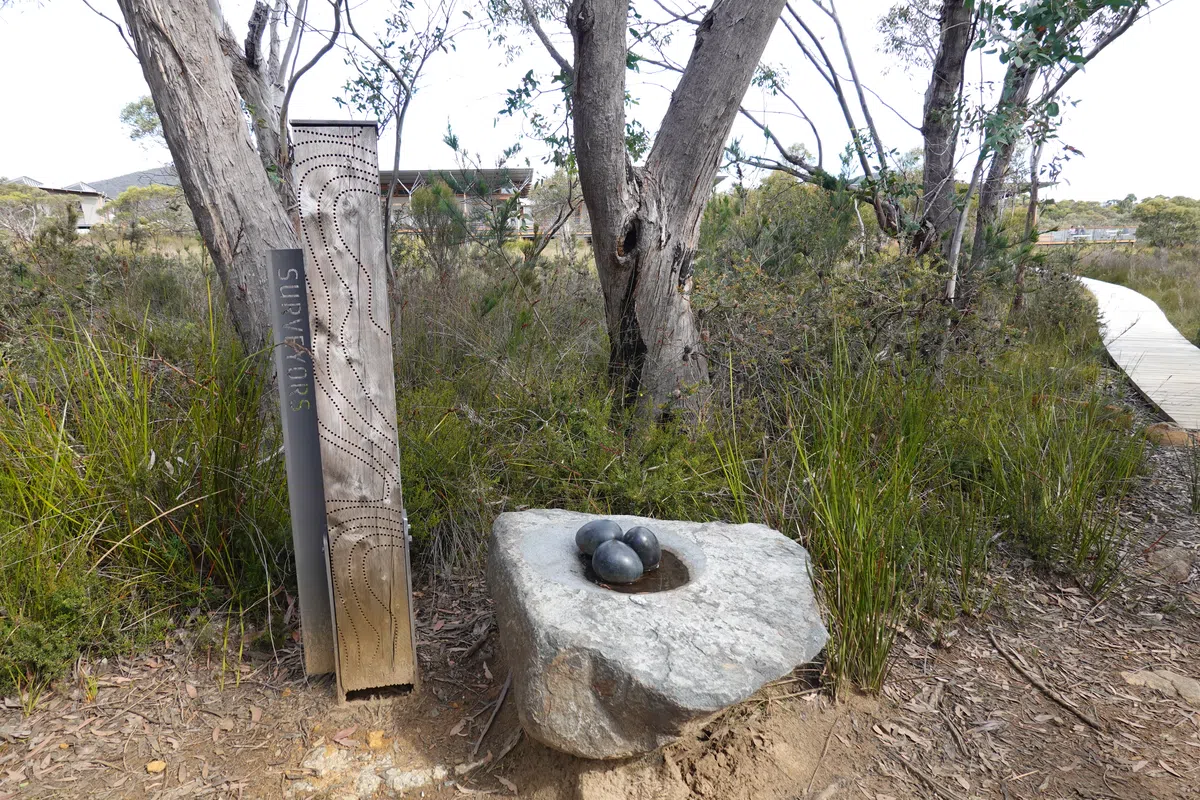
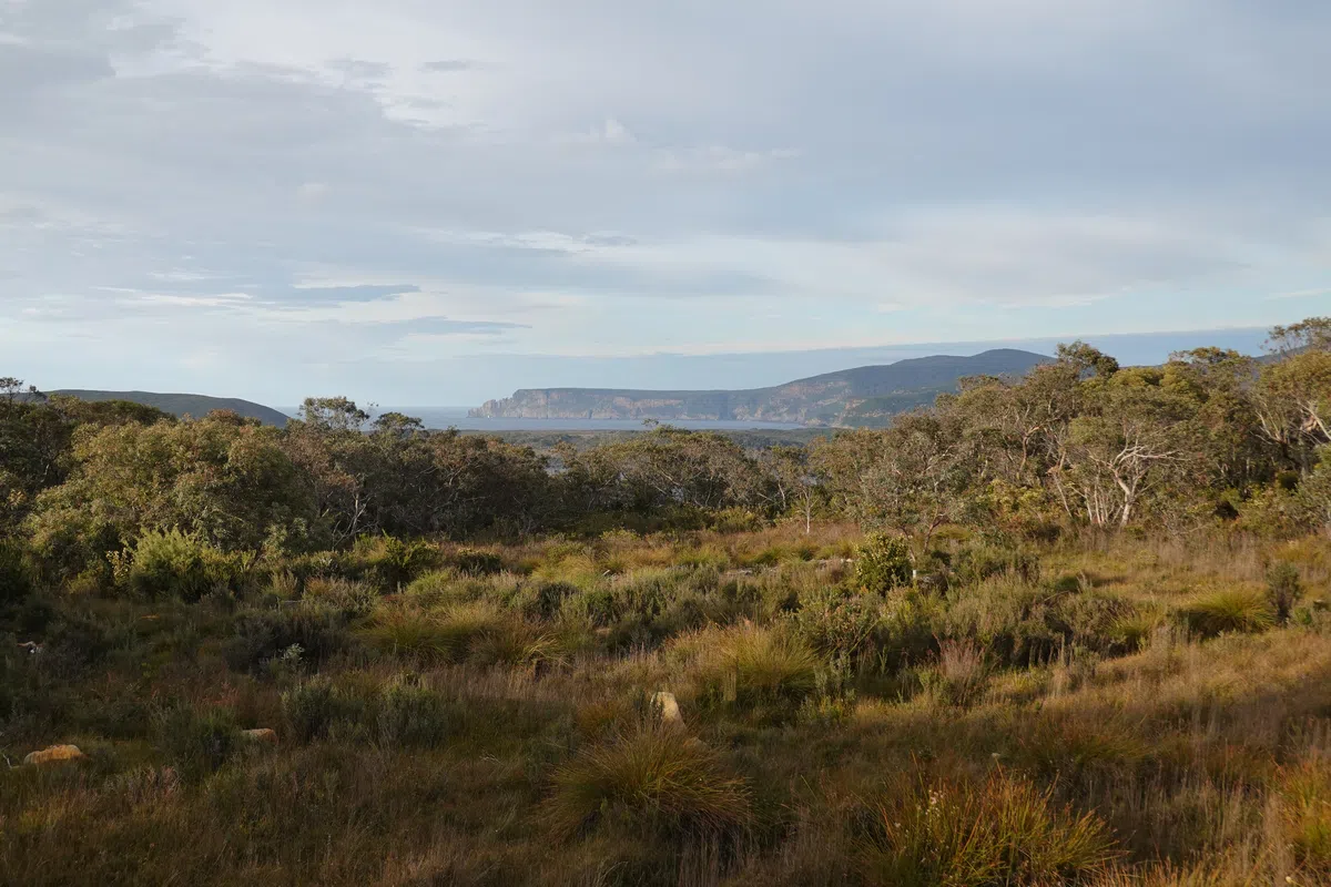
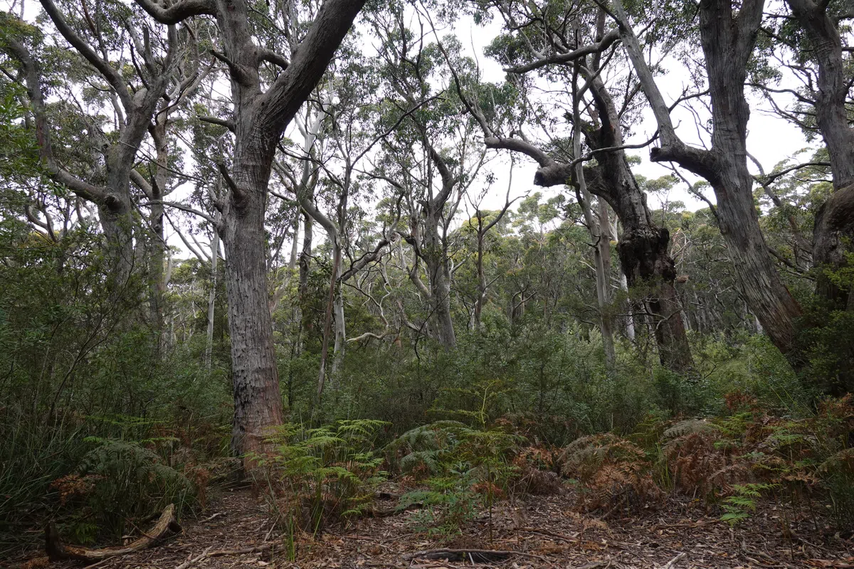
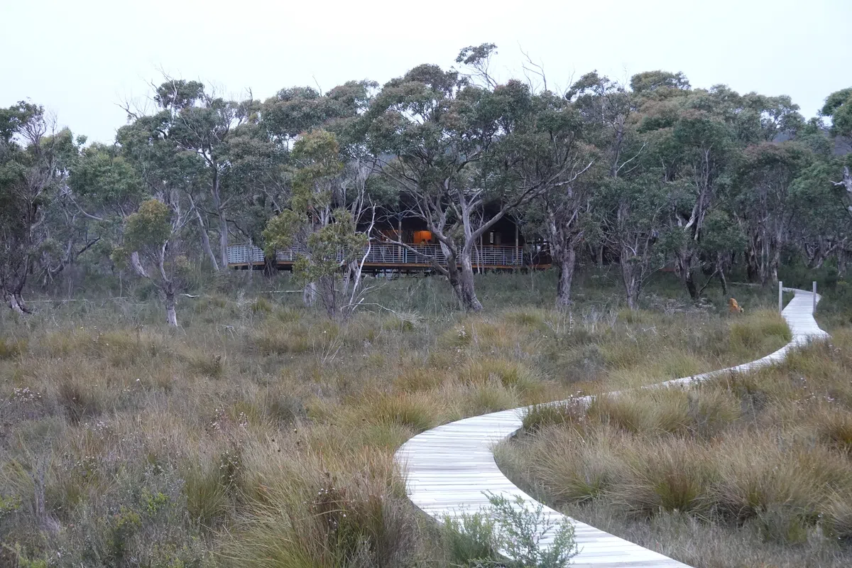
The trail climbed slightly, keeping close to the coast and providing views over Port Arthur. Nothing too spectacular, just the right amount for a first day’s hike. The burnt trees long the way left us intrigued, and we found out later they were due to a 2003 wildfire. The trail turned inland, through ever changing terrain, before emerging on the plains with Surveyors Cabin blending in well with the environment.
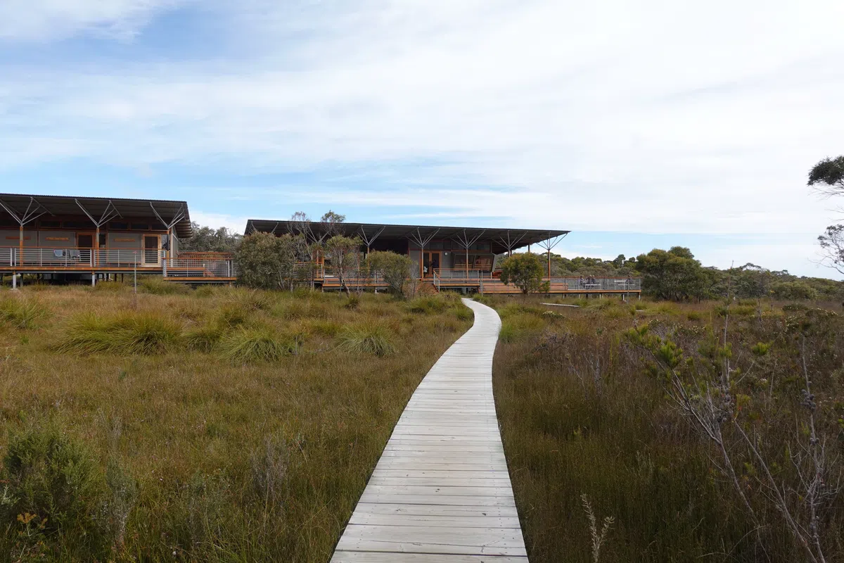
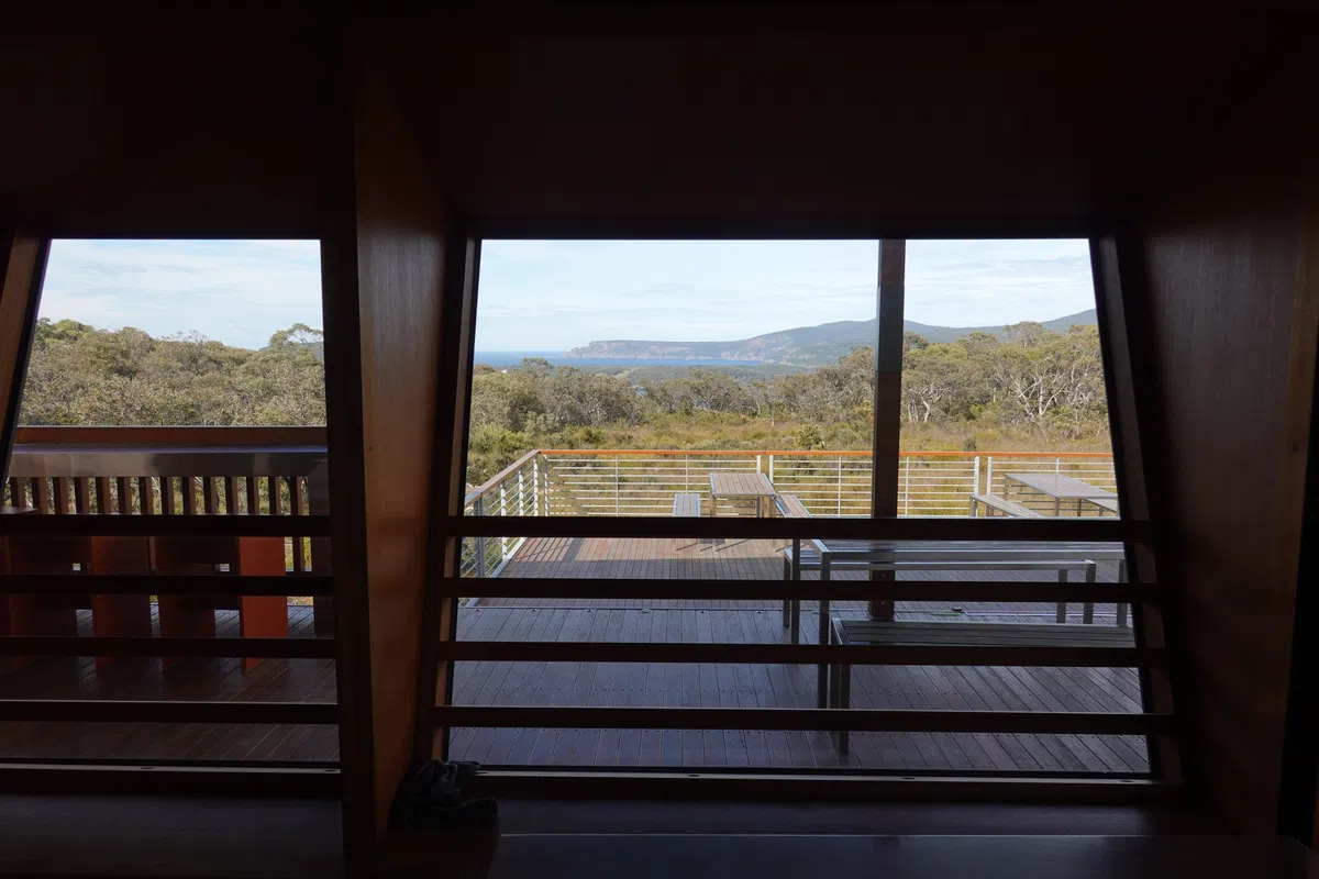
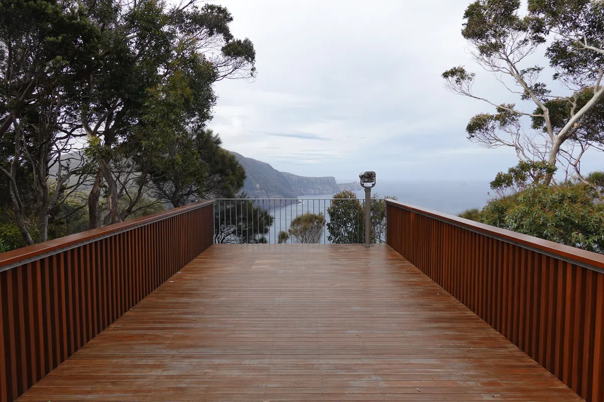
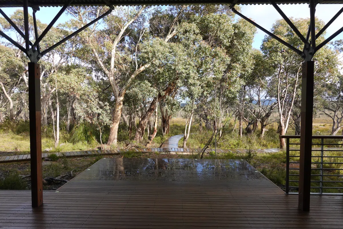
Surveyors Cabin
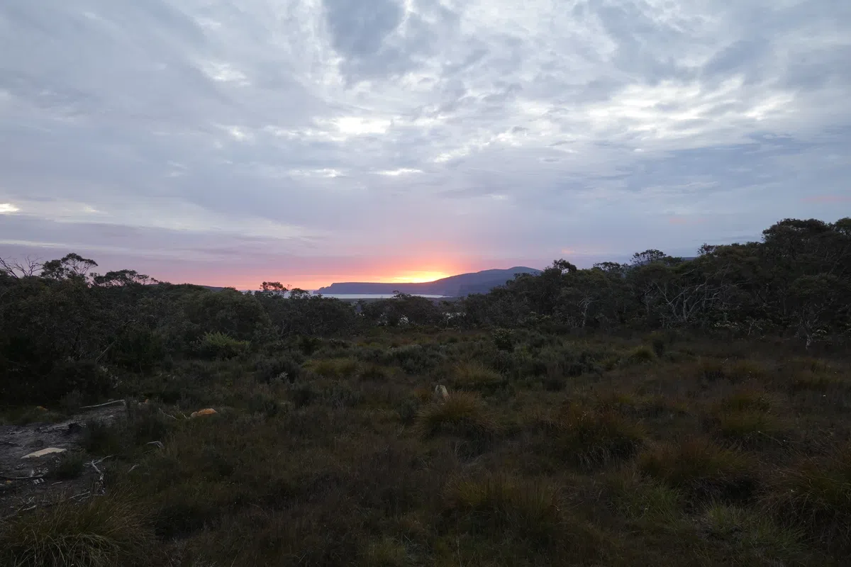
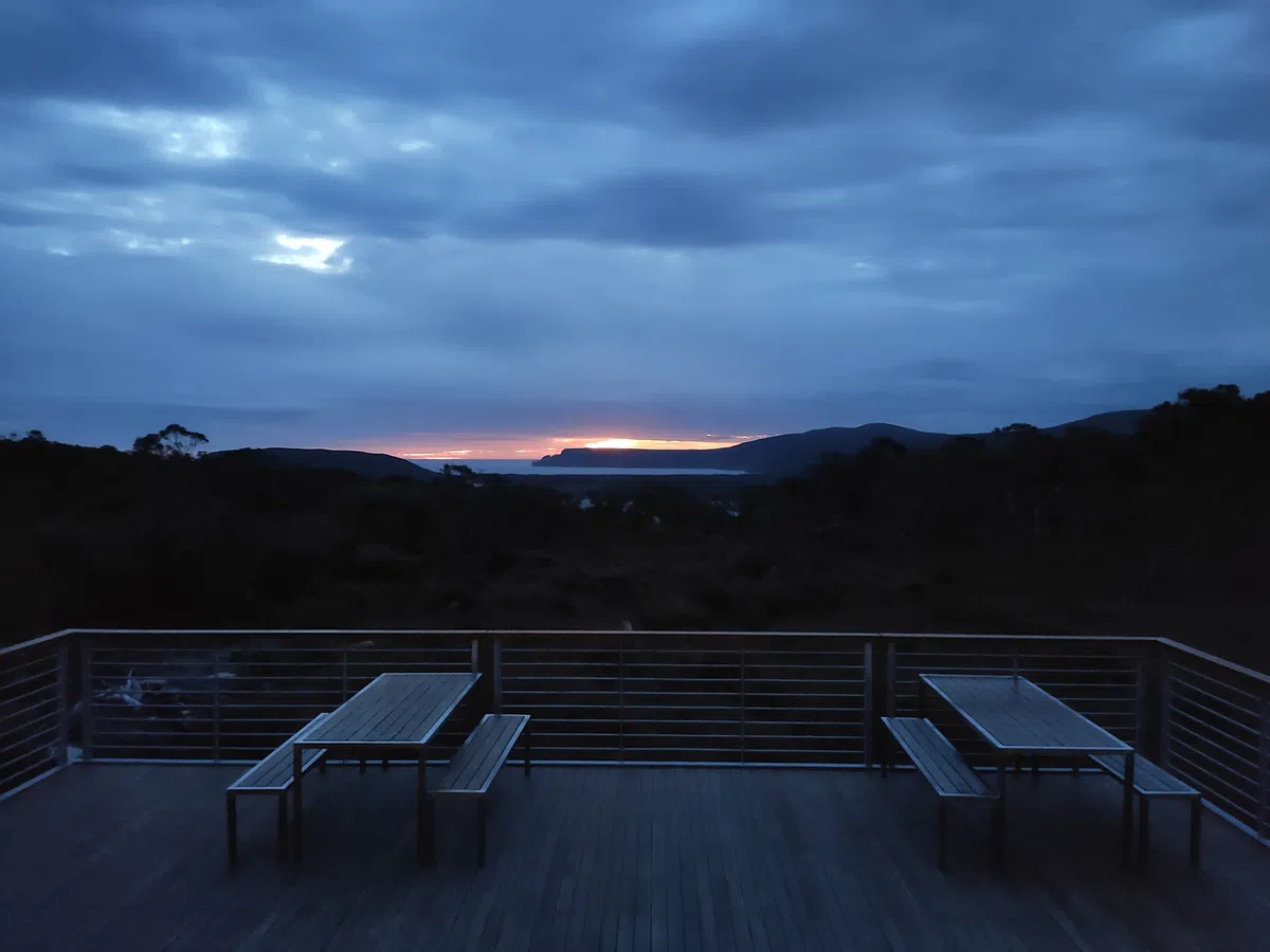
Surveyors Cabin sits high up on an open plain, 120 meters above sea level, with near 360 degree views of the surrounding wilderness. The open deck is positioned towards the sea for views across to Cape Raoul. Day 1 had been a short hike, but we were nonetheless a little worn (but mostly hungry). After settling in and meeting our bunkmates, we prepared a hearty dinner of steaks, sausages and salad in the well equipped kitchen. Other hikers with way better experience and planning whipped up more elaborate meals with soups and stews.
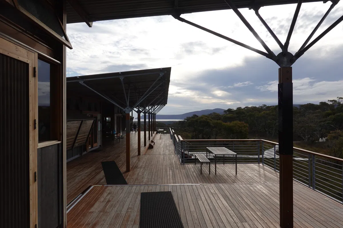
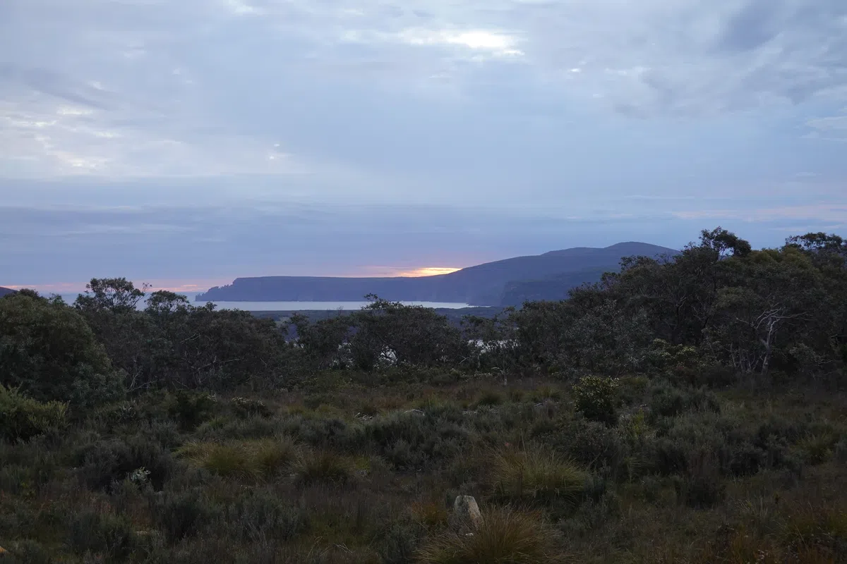
Out on the deck in front of Surveyors Cabin, we sat down to savor our well earned dinner with the spectacular sea view. We watched as the sun slid behind Cape Raoul. With our warm sleeping bags on foam mattresses, we didn’t take long to fall asleep, the first time in a long while without the slightest hint of traffic or the city crowds.
Three Capes Track Day 2
Surveyors Cabin was such a beautiful place we never quite felt ready to leave. There were books, information sheets and games at the indoor area next to the kitchen (similar to the cabins in the next few days). As we were slow in getting ready, folks started to leave the cabin and there was finally some room to enjoy the amenities and view from the warmth of the cabin. Alas, there was a long day of walking ahead and knowing that we were slow hikers, we had to get going. Weather started beautifully, nice and sunny, providing the push to start the day.
Towards Arthurs Peak
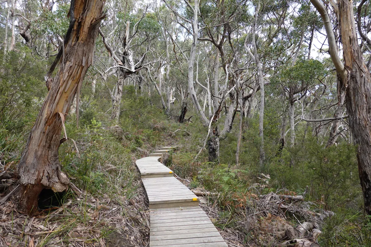
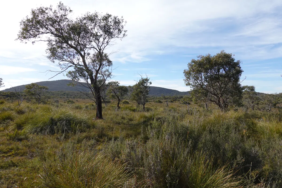
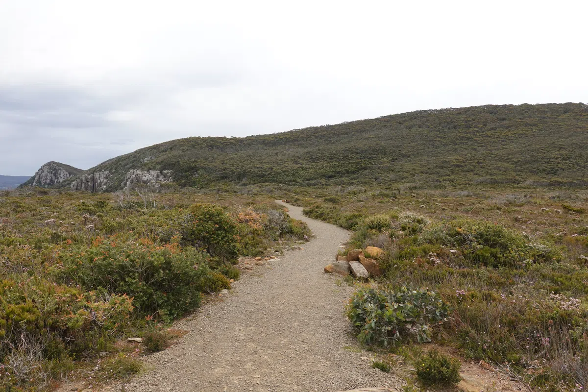
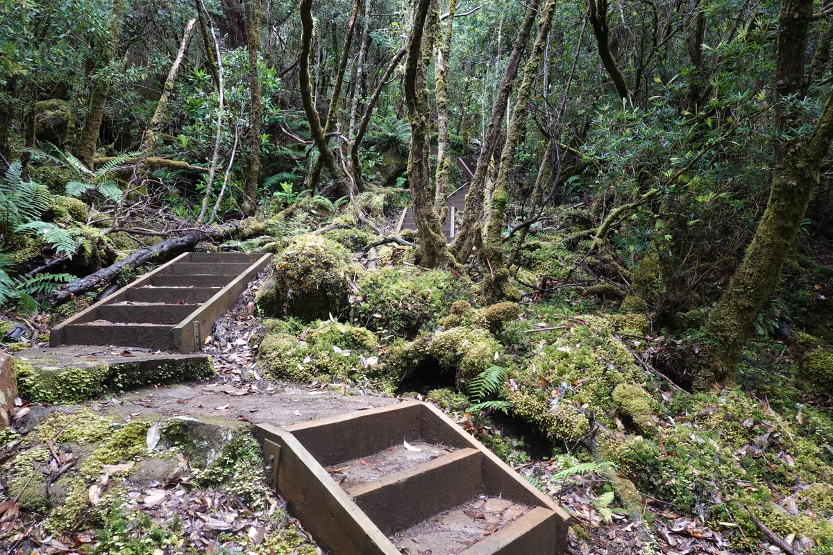
Day 2 of the Three Capes Track started nice and easy, weaving inland through lightly forested areas and crossing open plains on the approach to Arthurs Peak.
Arthurs Peak
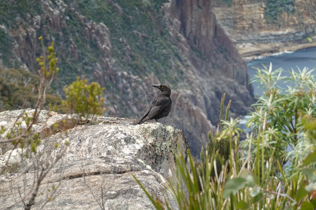
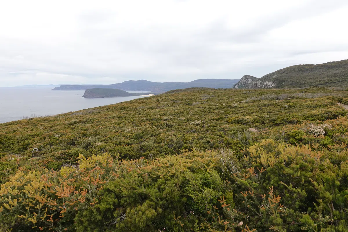
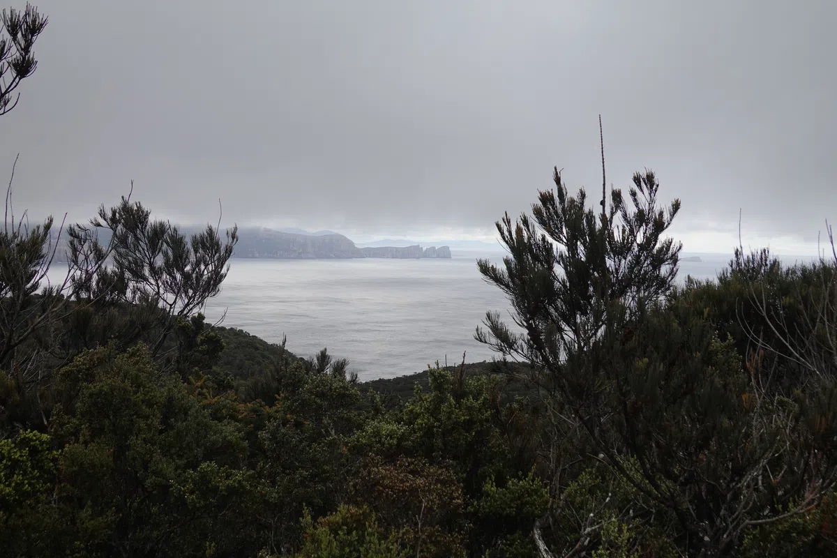
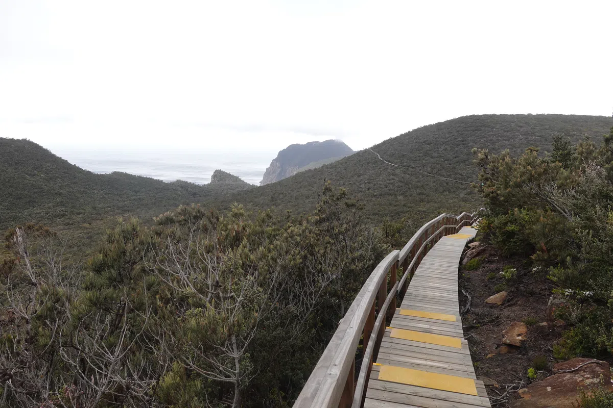
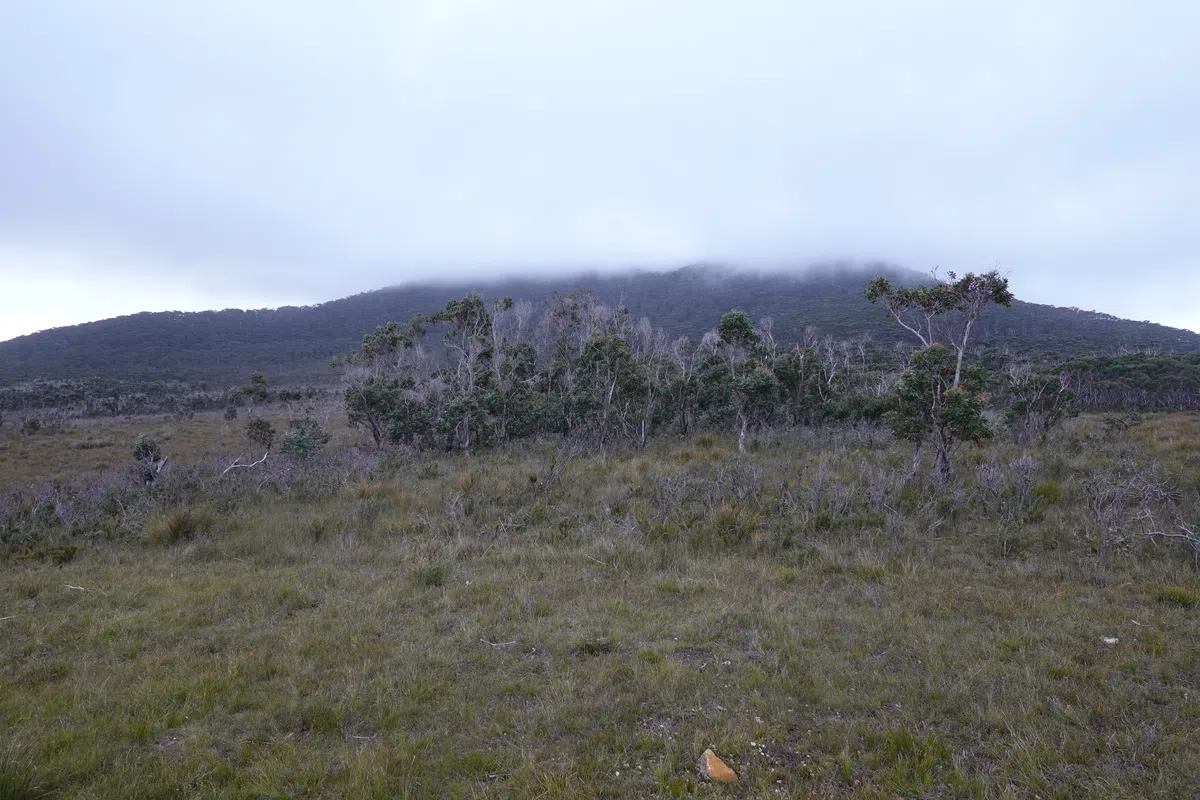
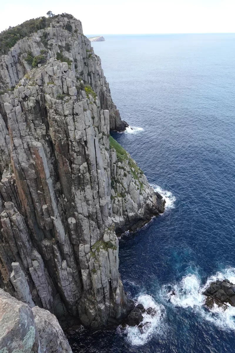
Time for the first major ascent of the Three Capes Track, up Arthurs Peak! It was a timely reminder that the Three Capes Track, while manageable for most, is no walk in the park, especially with 4 days of supplies. At 312 meters high, Arthur’s Peak was a good morning workout, but far from the steepest of ascents in the days to come. It wasn’t really clear where the peak actually was, but towards the top there were a couple of viewpoints which lead out of the forest to the edge of the cliffs, providing spectacular views of the surrounding capes and the drop straight down below. Just the right time for us to catch our breaths and have some light bites, under the watchful eye of scavengers.
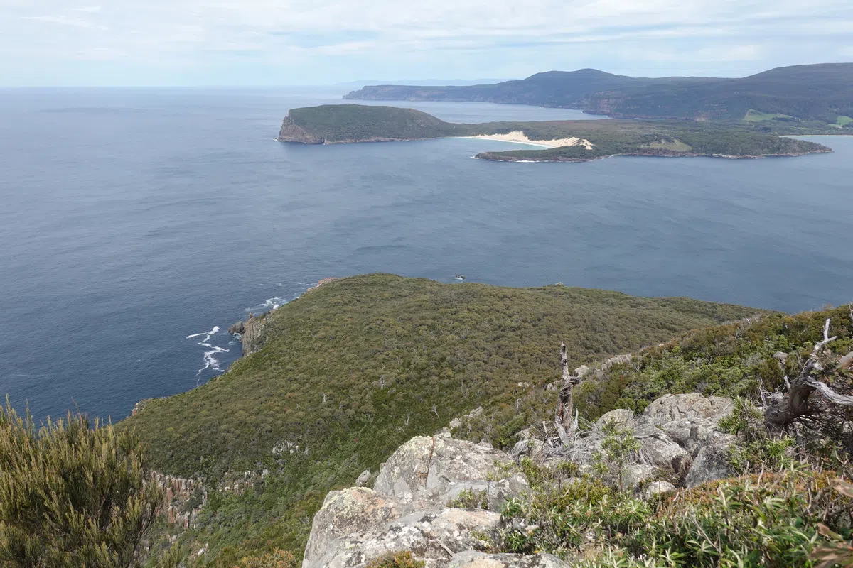
Ellarwey Valley
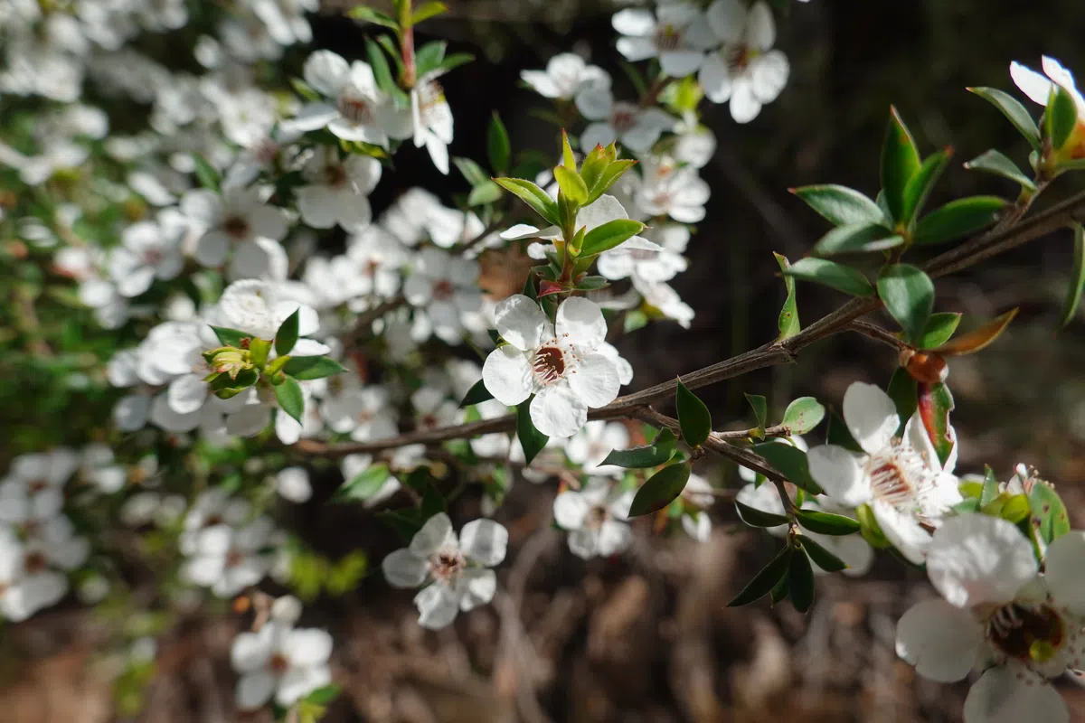
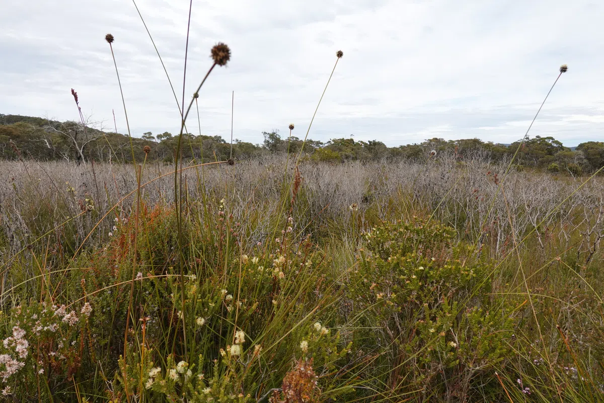
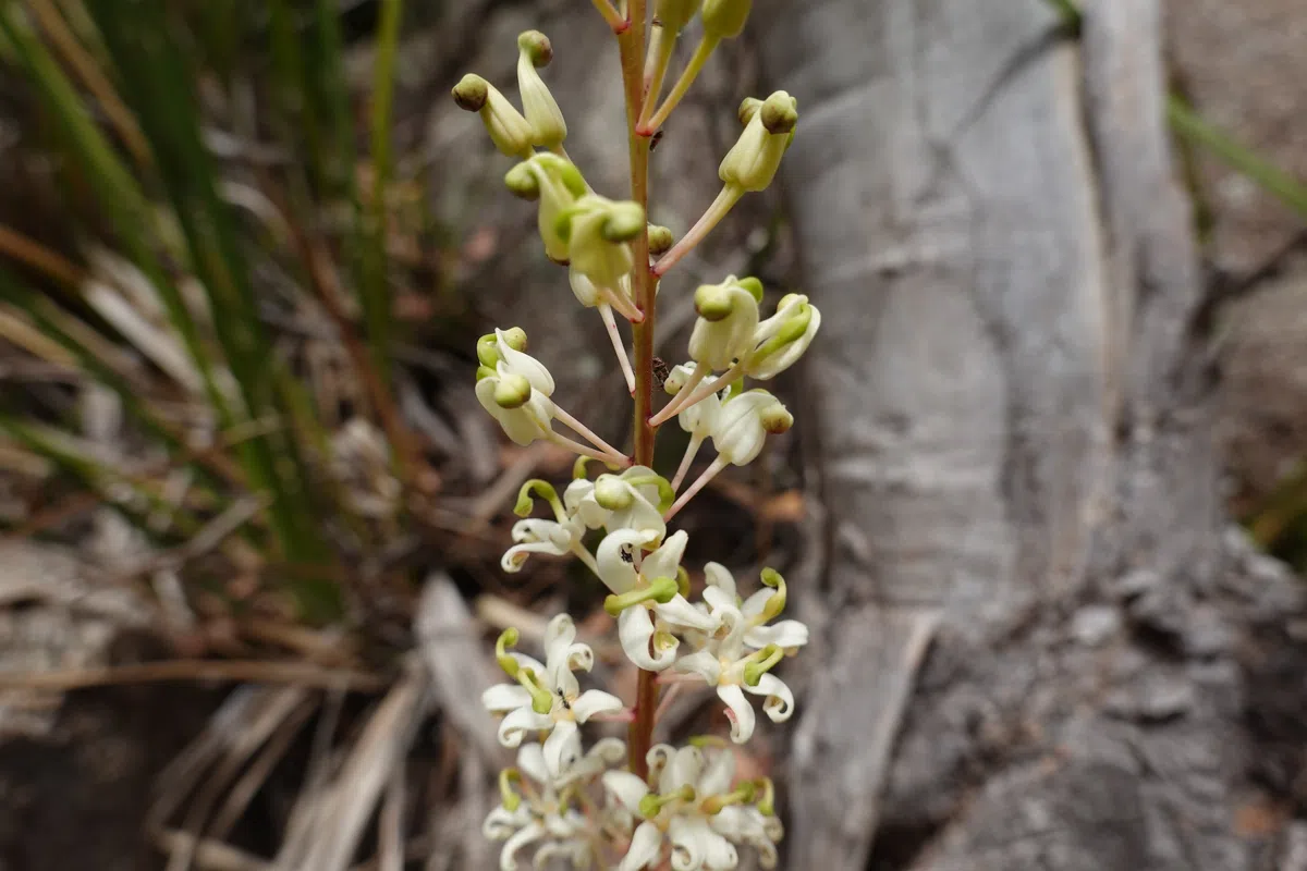
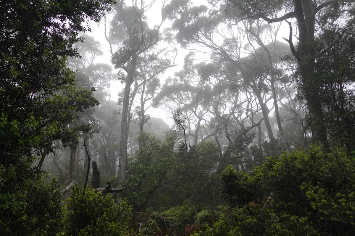
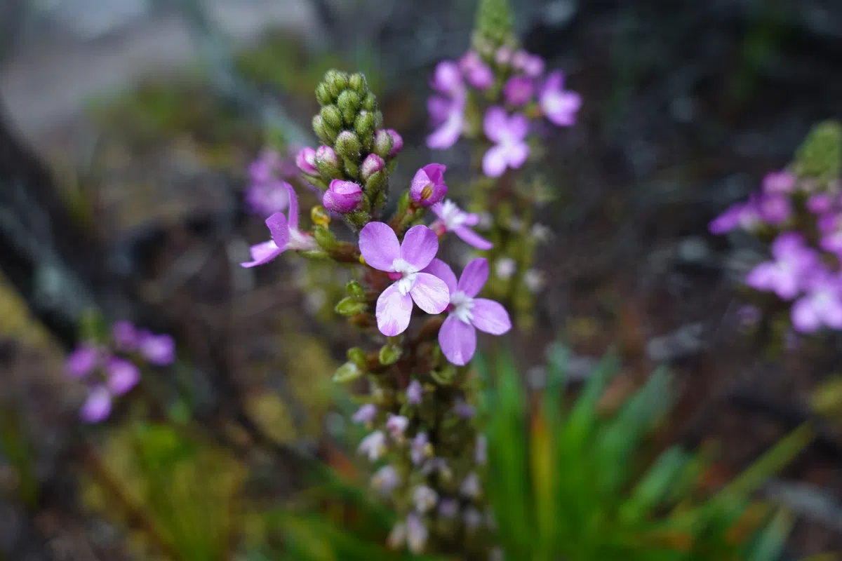
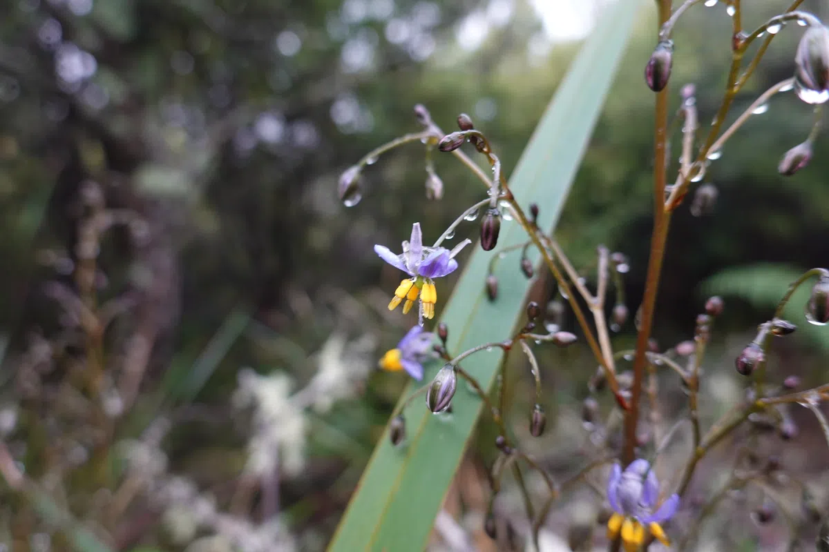
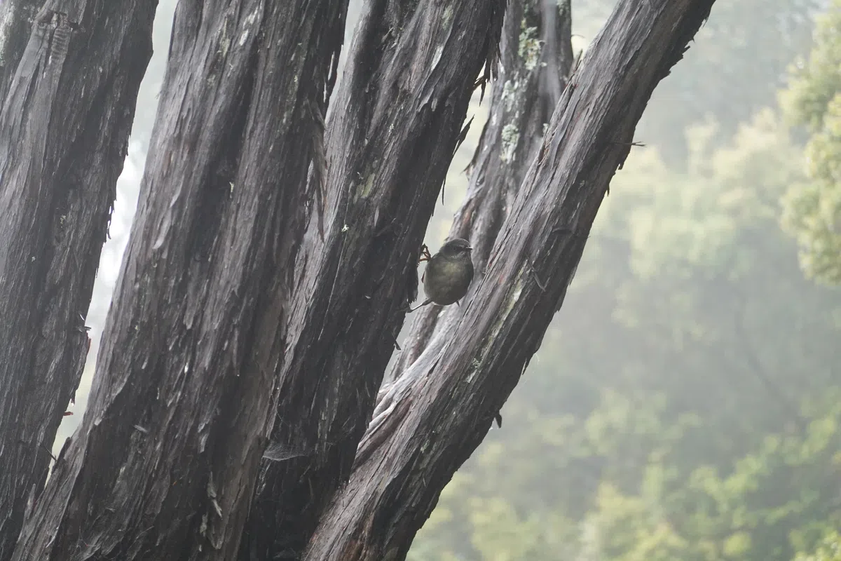
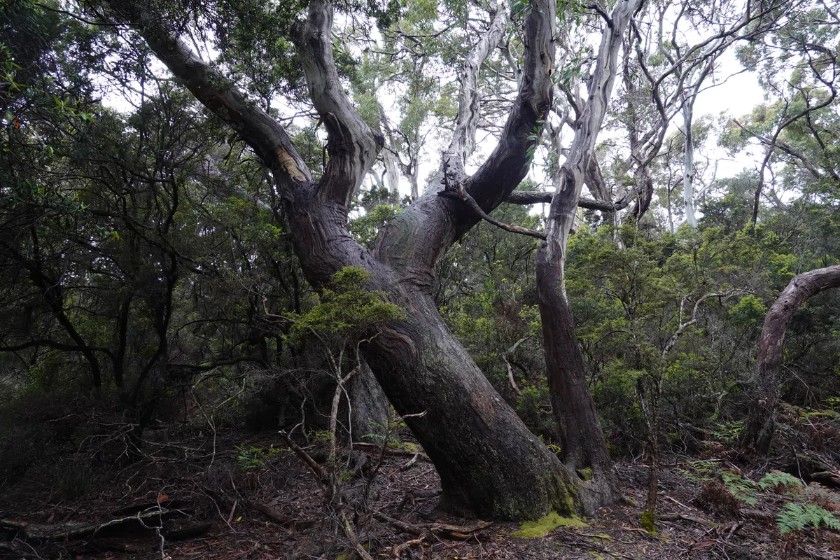
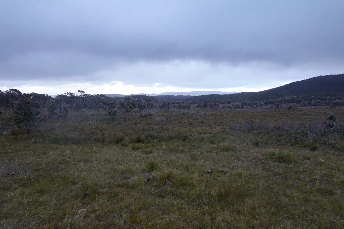
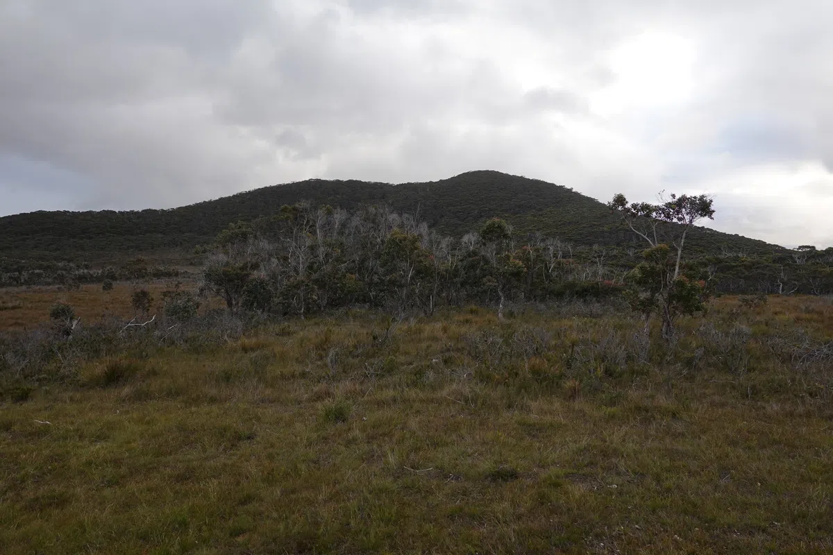
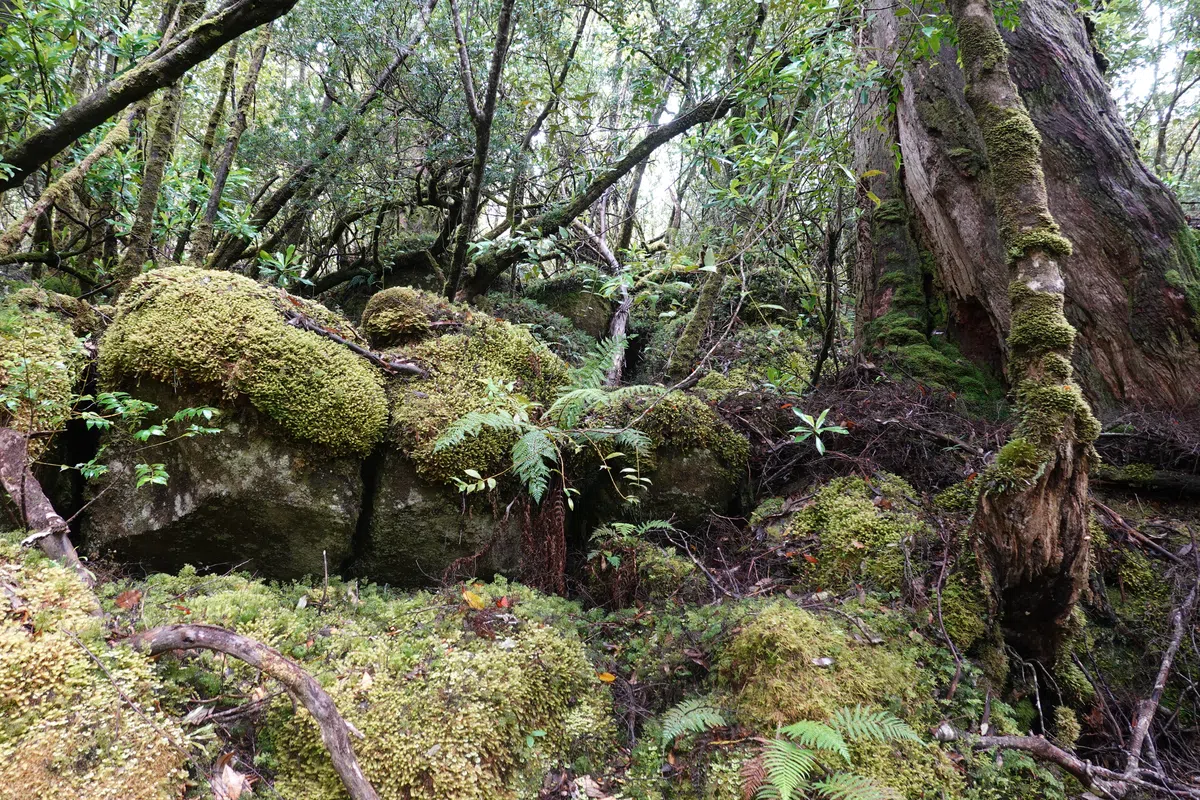
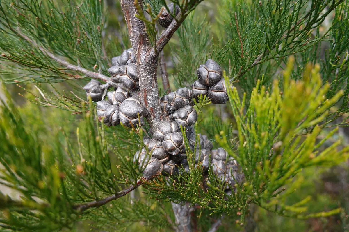
Beyond Arthurs Peak, more forests and wild plants. Too many to keep up with, but amazing to observe up close, as the plants of Tasmania were almost as wild as the animals. Finally, the forests gave way to the windswept Ellarwey Valley. Cool name, but less exotic sounding after discovering its origins. The views across the valley, filled with wildflowers waving in the wind, was mesmerizing. By then, it was clear the weather was taking a turn for the worse. There was a nice flat bench in the middle of the valley, which would also have been great for a break or to grab a bite, if not for the increasingly intense winds. Had a short break, then continued quickly for the shelter of the forests once again, towards the track junction.
Track Junction
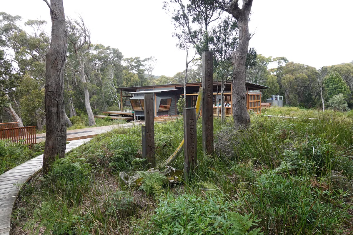
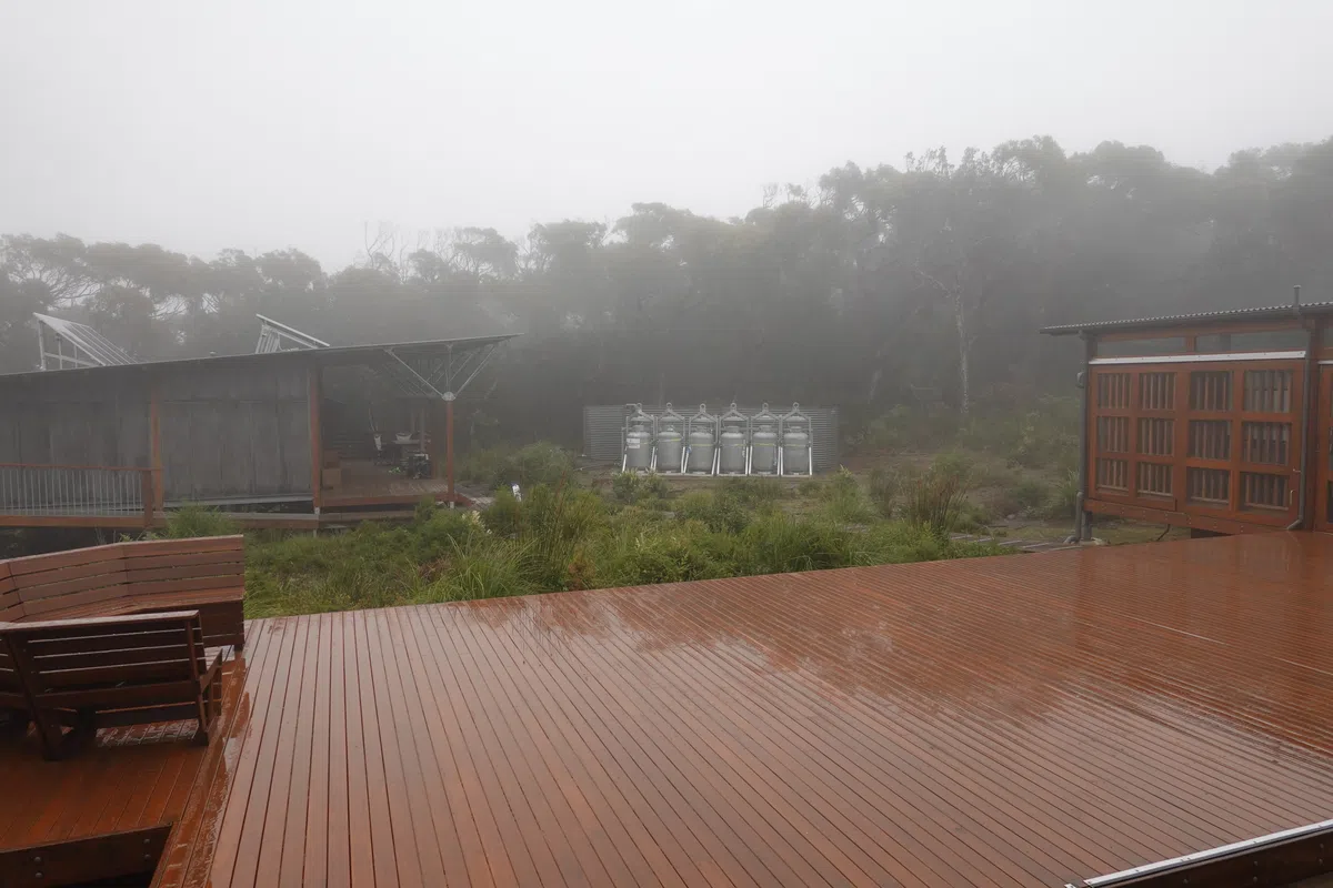
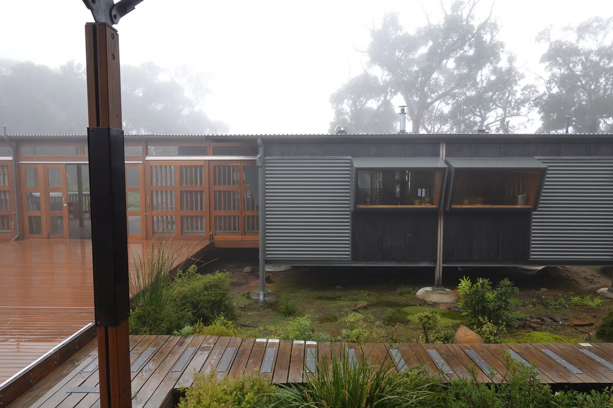
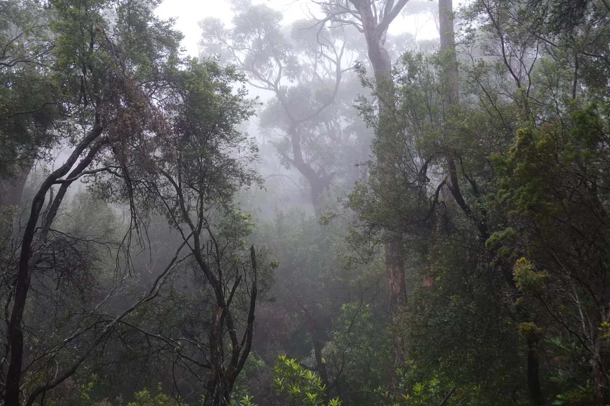
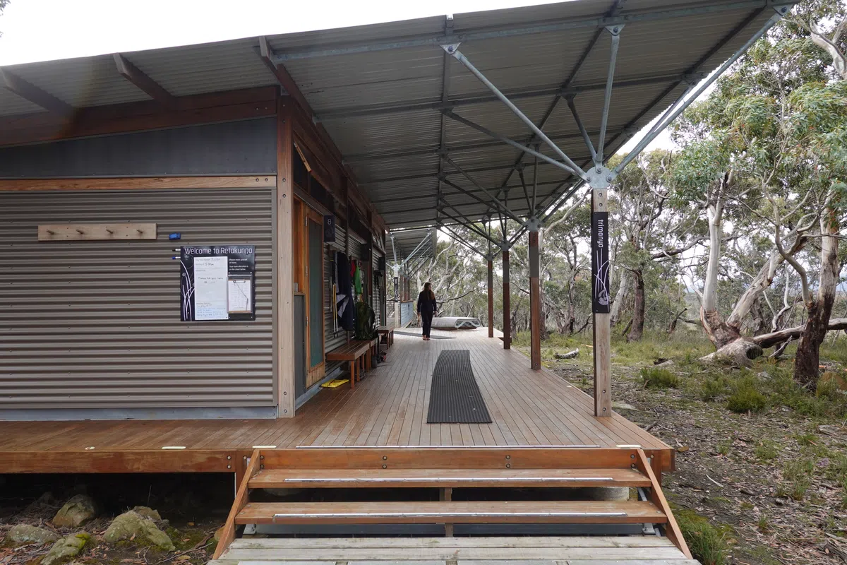
The forests were noticeably darker then, but provided much needed shelter from the wind. We found another set of benches and had a better break this time. It wasn’t much more before the track junction, where one way leads to Munro Cabin and the rest of the Day 3 track, the other to Retakunna Cabin and the Day 4 track (and exit). Down towards Munro Cabin, the trees got taller and foliage denser. Could have been the progressively darker skies or the knowledge that the promised hot shower wasn’t far away, but we hurried along and soon found the second of well camouflaged but perfectly placed cabins on the Three Capes Track, Munro Cabin.
Munro Cabin
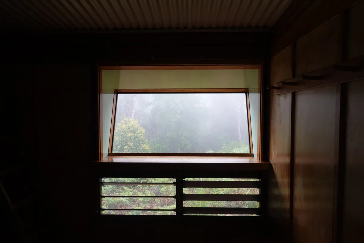
Compared to Surveyors Cabin, Munro Cabin was almost completely surrounded by trees. It rests much closer to the cliffs, with the open deck hanging over the cliff edge. The deck had a set of binoculars to provide a closer view of Cape Hauy, the challenge to come in 2 days. As for that moment, we had a simple lunch of wraps and instant food, then headed for the hot “shower”, a rudimentary but very much welcome feature at Munro Cabin. Each person is allowed a pail of hot water, which you can choose to take either on the end of day 2, or on day 3 when you’re passing Munro Cabin again. After getting all fresh and clean, we made a slightly less sumptuous dinner and soaked in the shipwreck stories from around Munro Bight through the information boards at the communal area while the storm brewed outside.
Three Capes Track Day 3
Rain and winds in full swing as we rolled out of bed. Not quite the weather we would have liked on the day with the most dramatic views, but I guess dramatic weather as a backdrop might be fine too. Day 3 of the Three Capes Track involved a long walk out on Cape Pillar and back to Munro Cabin, before leaving Cape Pillar for Retakunna Cabin. We left our main packs safe and dry in the bag shed just a couple of steps from Munro Cabin and brought along just a day pack with some snacks and rain gear.
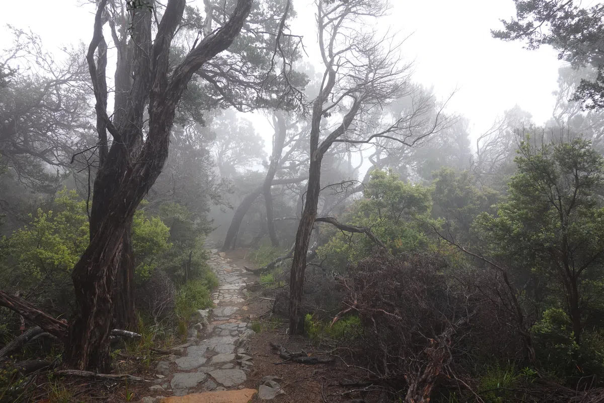
Corruption Gully
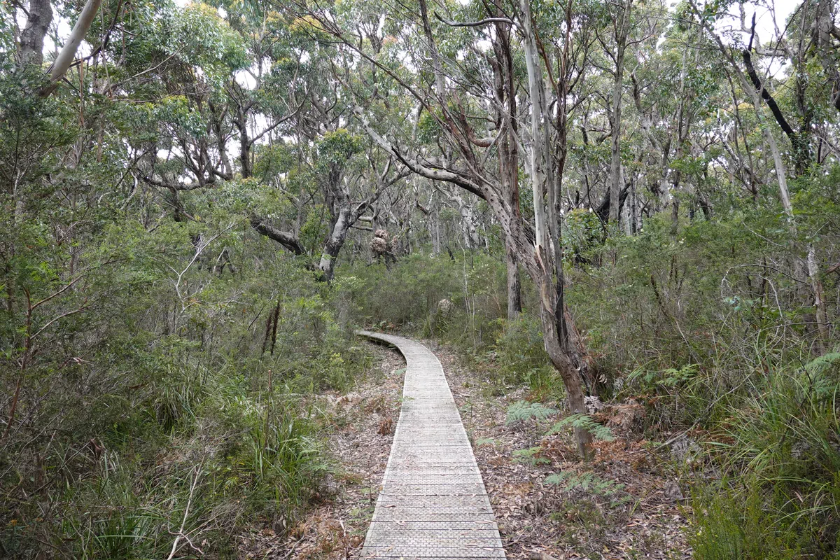
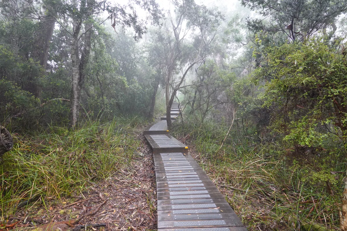
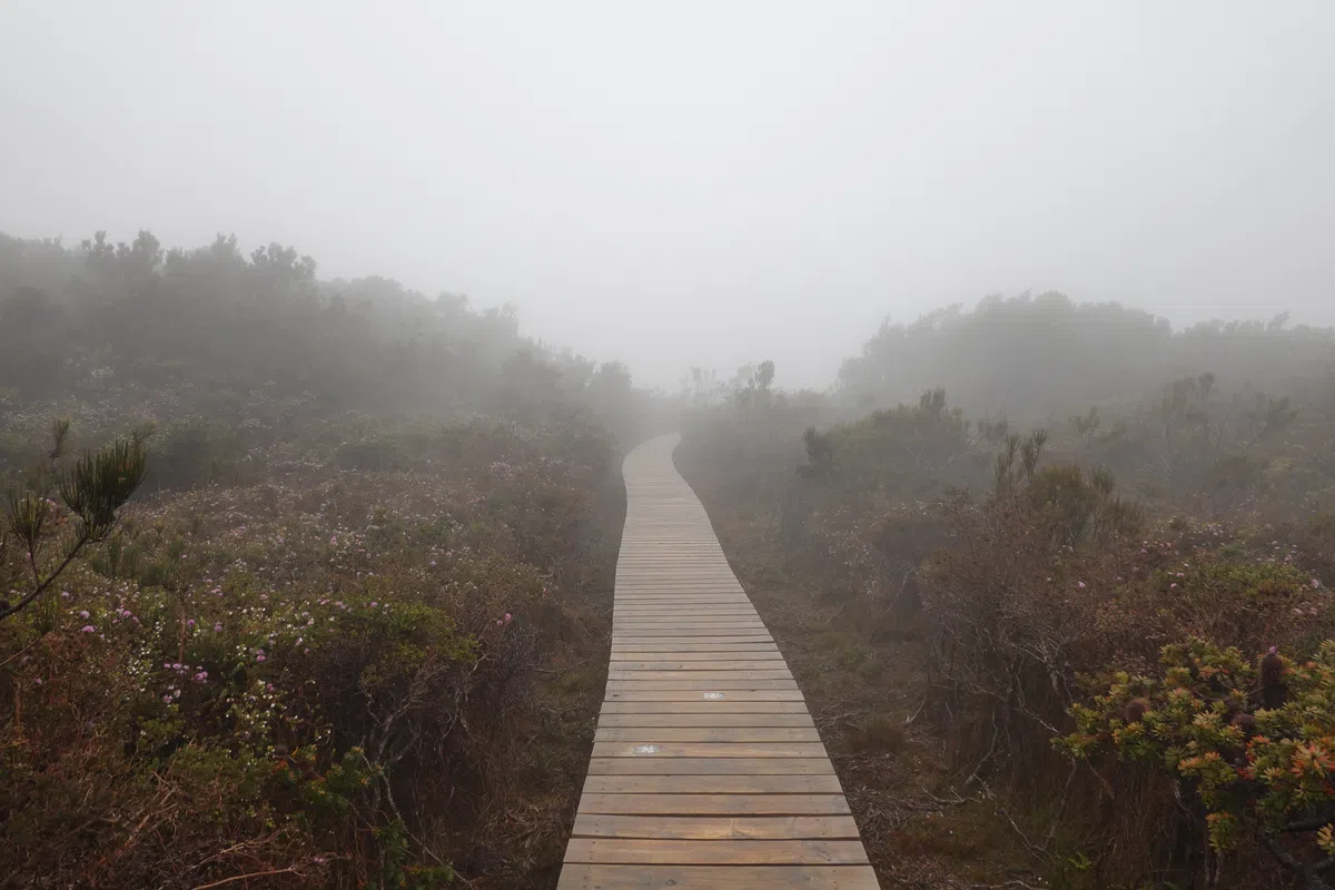
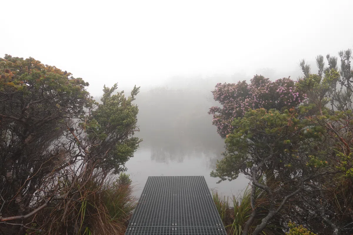
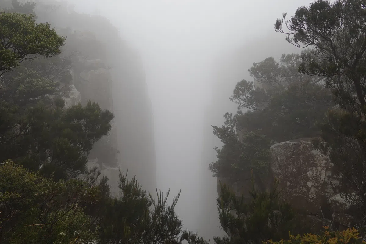
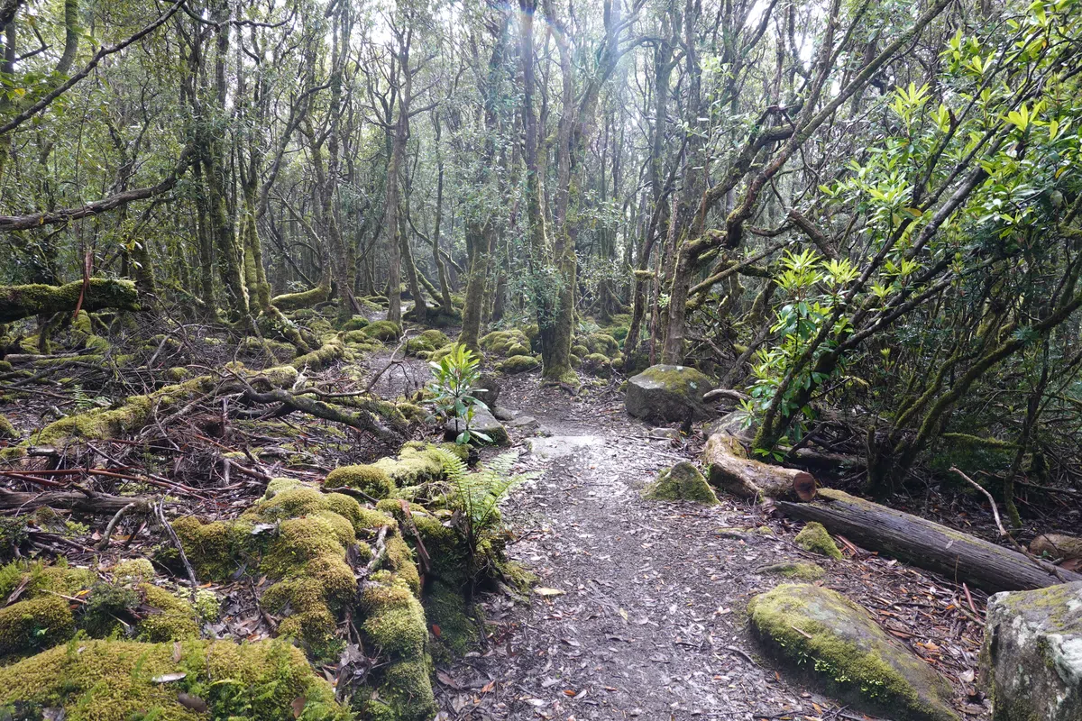
After 2 days with the heavy pack, swapping it for the day pack felt like we’ve just grown wings. The first part of the day was through pretty dense forest, where the thick fog created a dreamy landscape. The trees then thinned as we headed further out onto the cape, where the fog made it impossible to make out where the land ended and sea began.
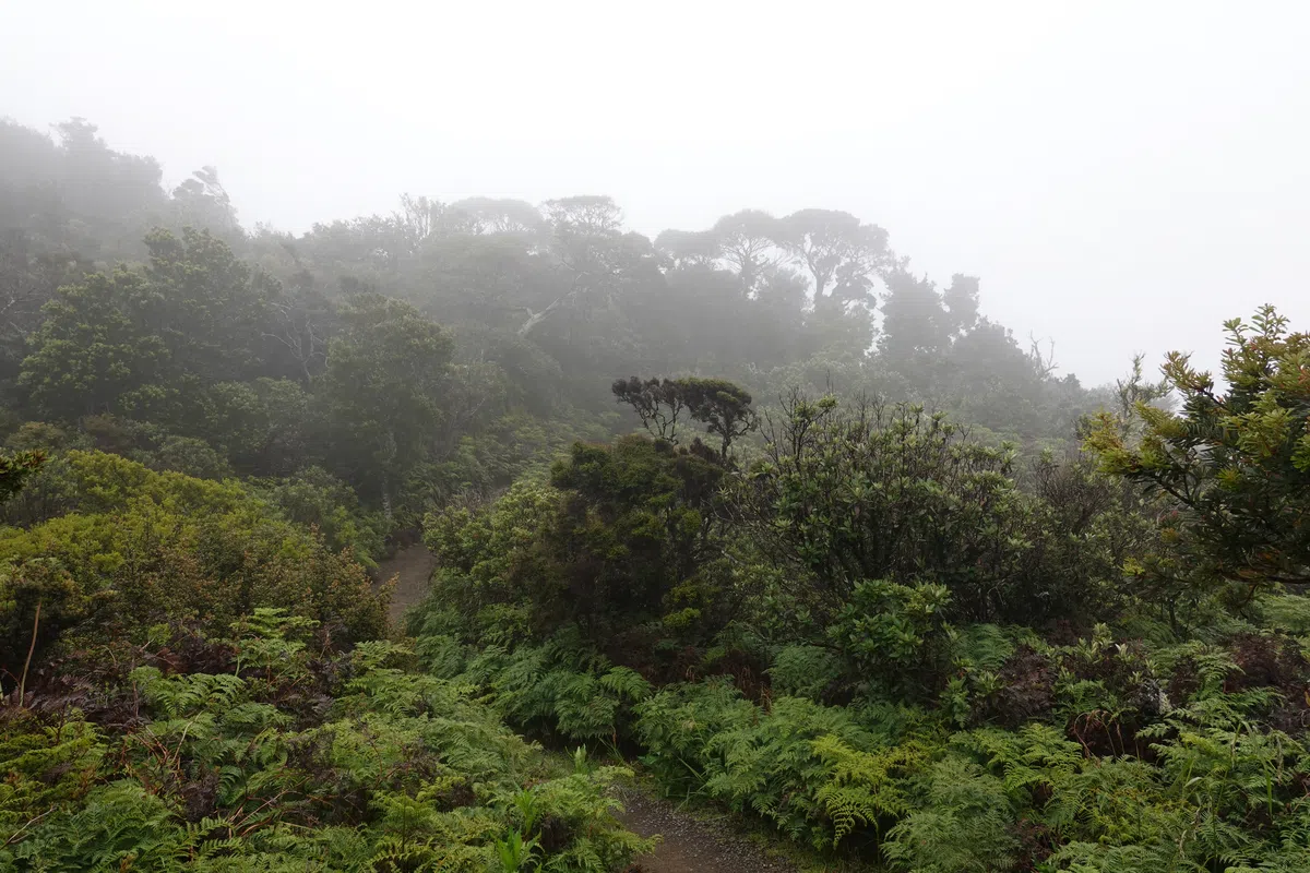
Hurricane Heath
We reached a flat, exposed area of the cape, where the winds made those on Ellarwey Valley looked tame. Our raincoats turned into parachutes as we struggled to make it over the exposed edge. There were viewpoints along the way but not much to see in the blanket of clouds. Memorable, nonetheless. Streams and ponds brought life to an otherwise lonely landscape.
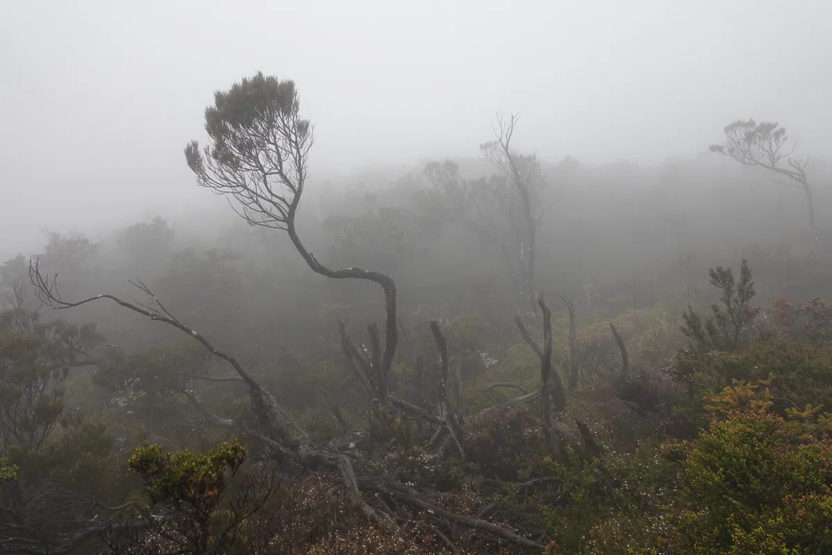
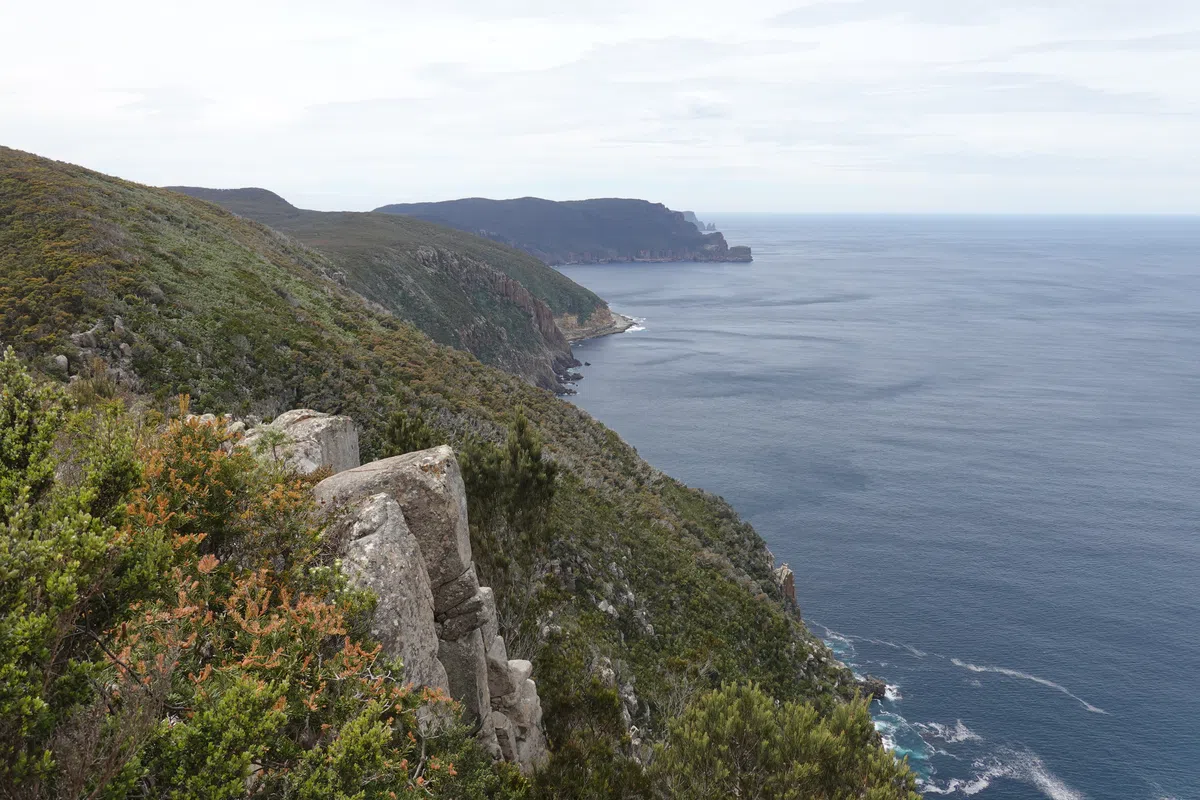
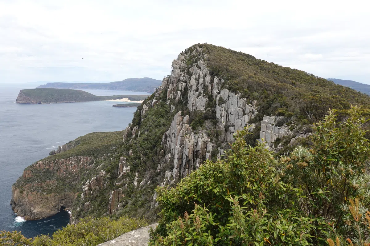
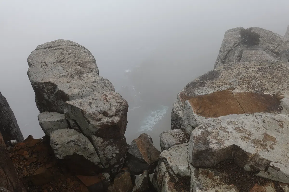
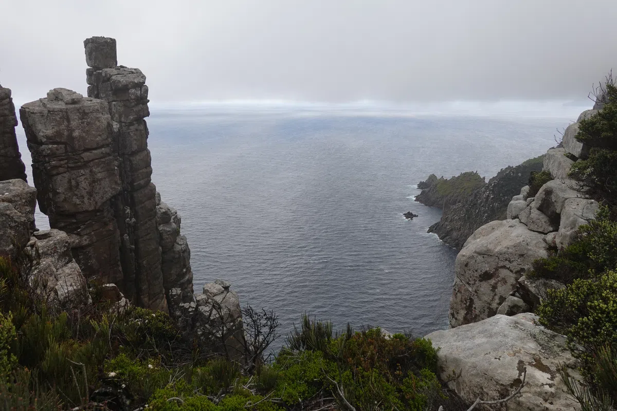
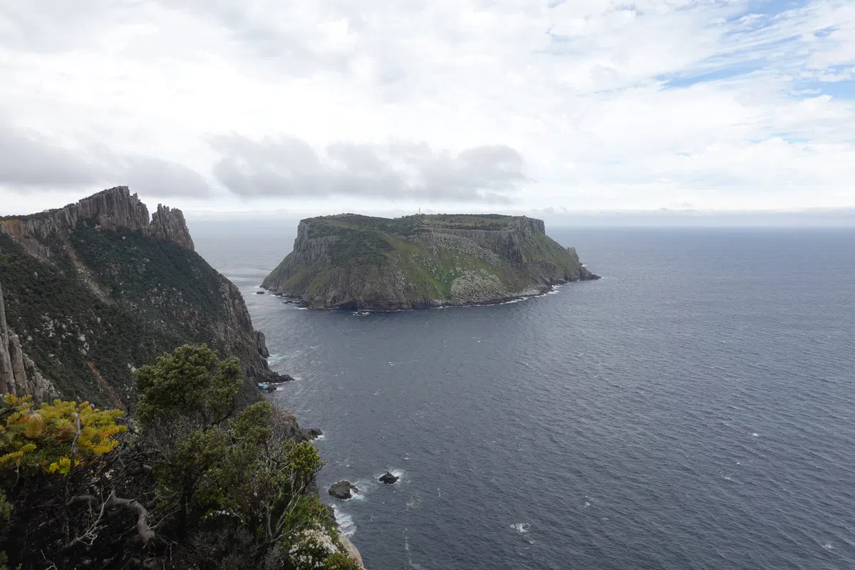
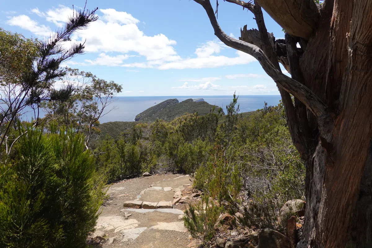
Cape Pillar
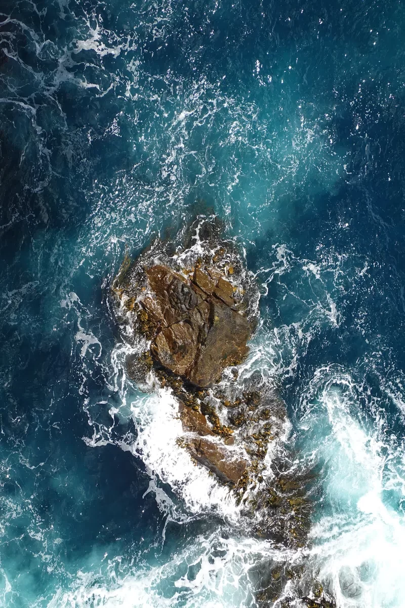
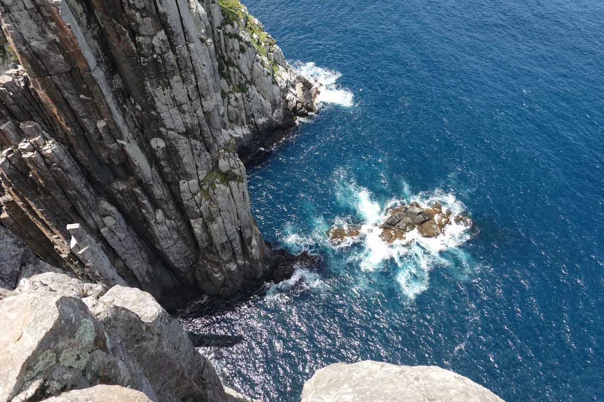
With the thick blanket of clouds on Cape Pillar, we had no idea how close we were to the cliff’s edge until we were right next to it. There was no indication how high up we were from the sea below, maybe thankfully so. Occasionally, winds pushed the clouds aside and we got a glimpse of the rocks beyond or waves beneath, none of which looked too friendly.
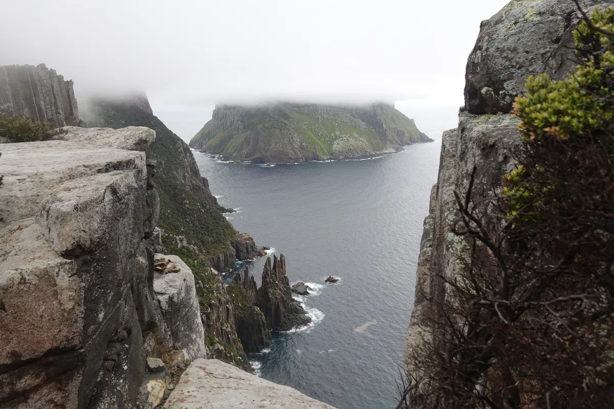
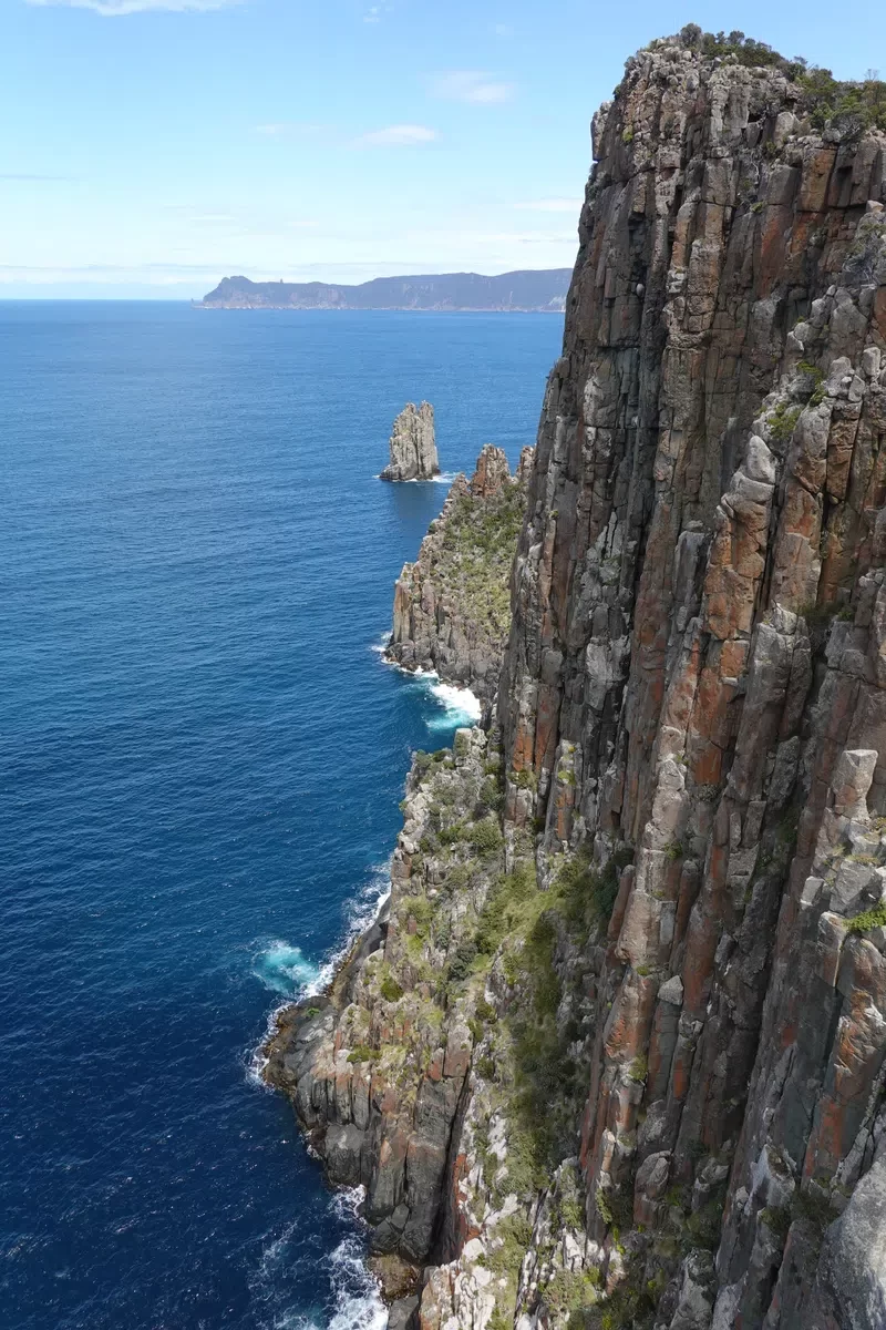
At some point, either we descended below the clouds or the winds lifted the clouds higher-we were greeted with a magnificent sight. Tasman Island, with its peak obscured by clouds, rising majestically from the sea, separated from where we were by a strip of rough seas and dramatically carved dolomite cliffs. I had never seen anything like that before, the closest to which was probably in Star Wars. Or was this the closest I would ever get to Star Wars. Even with the view partially obscured by clouds it was spellbinding.
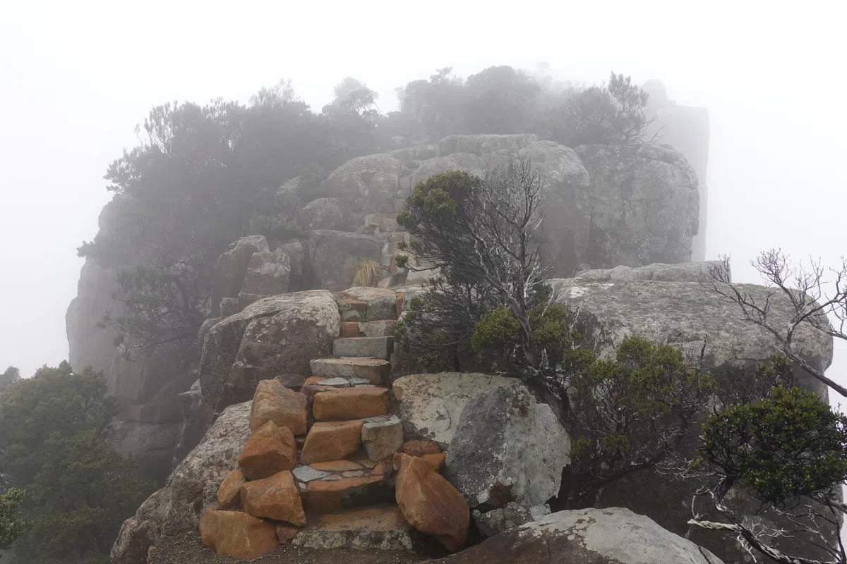
The Blade
Too many photos and videos later, we arrived at another junction, where one leads up to the Blade, and the other to the tip of Cape Pillar. We first headed up the Blade, a tall, narrow strip of rocks on Cape Pillar that faced Tasman Island directly. It was a little intimidating climbing up the narrow ledge to the Blade, not being able to see where the bottom was at either side of the ledge. Of course, after all the toil climbing up the the Blade, all was engulfed in clouds again.
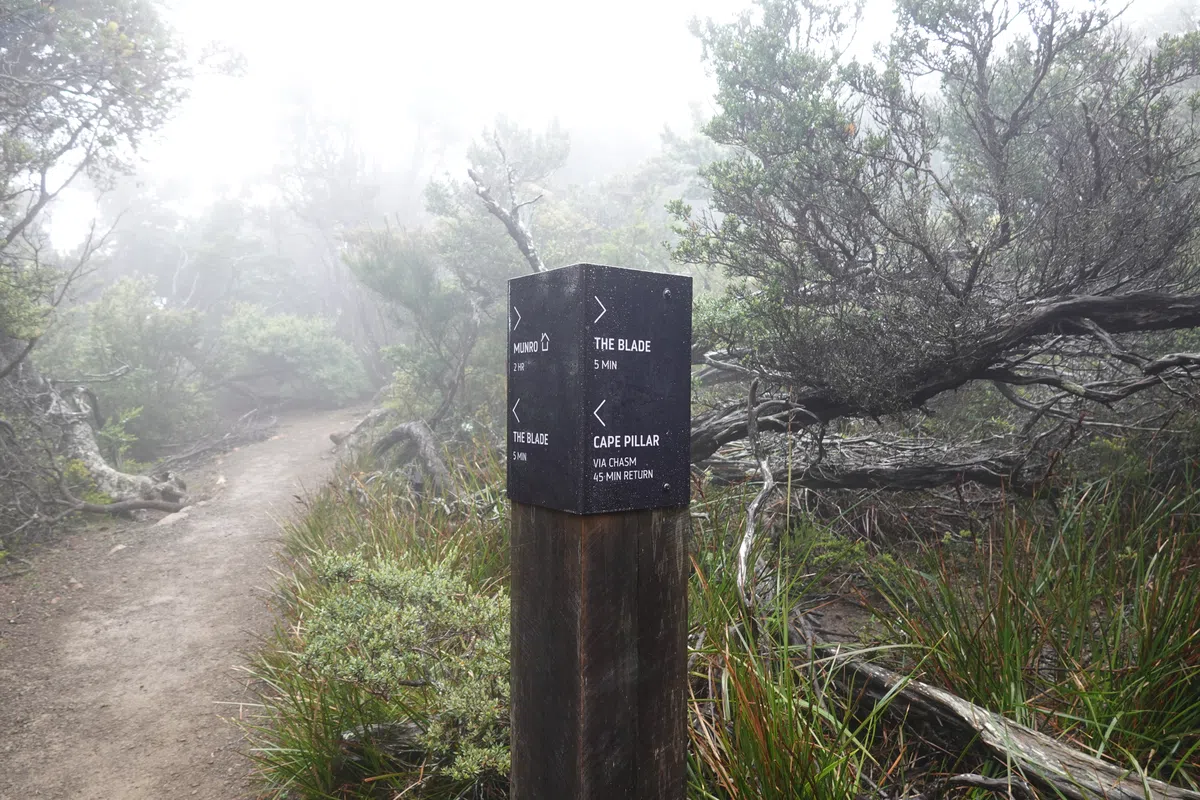
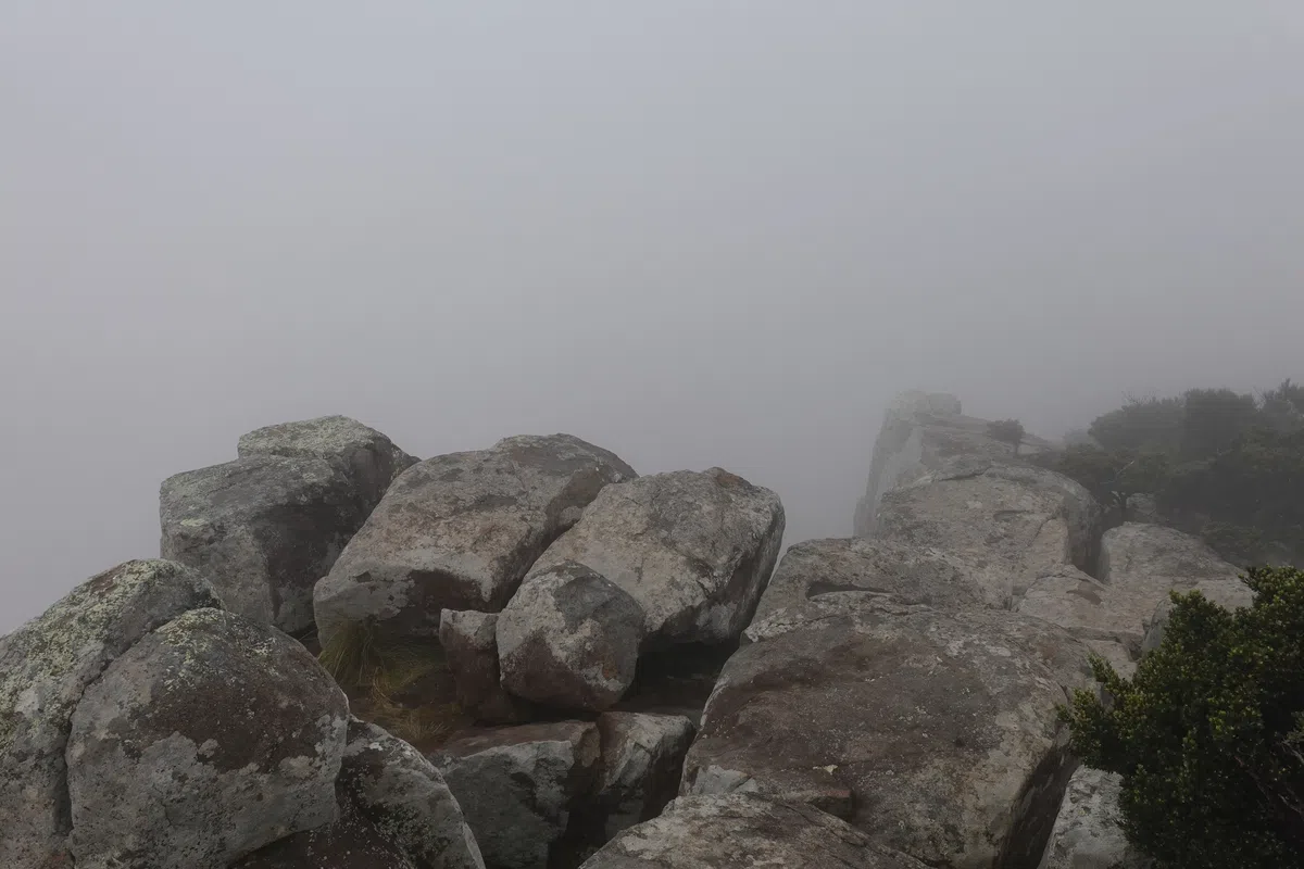
Chasm Lookout/ Cathedral Rock
Towards the tip of Cape Pillar, visibility was not much clearer, but it felt like the weather was getting a little better. We didn’t get much views beyond here too. The weather was sufficiently calm for a a group to decide to have their lunch there, while we decided to head back and have lunch at Munro Cabin as we were slow and wanted to ensure we had enough time to reach Retakunna.
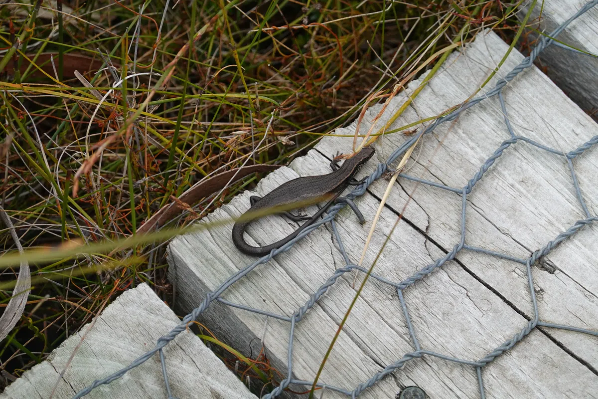
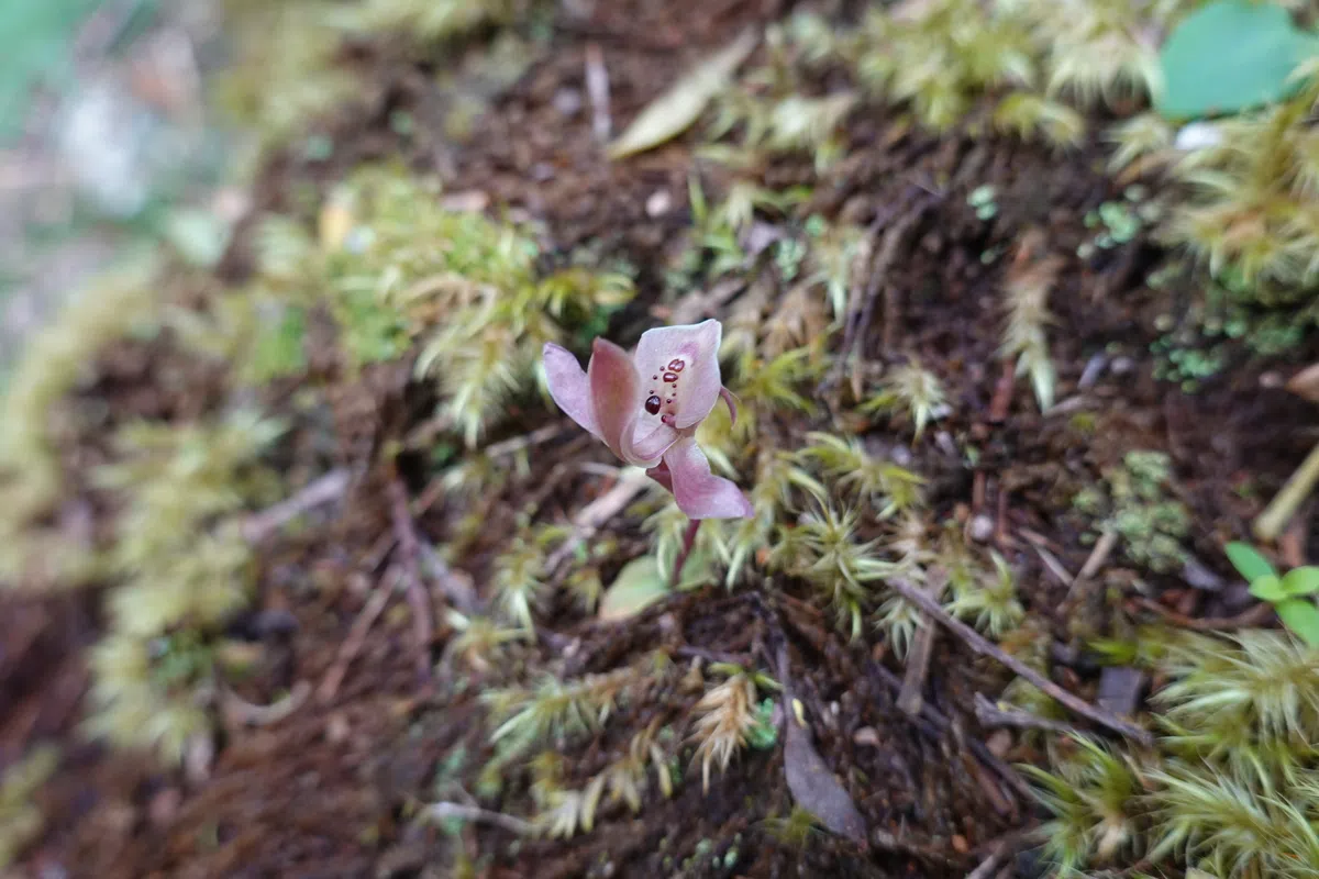
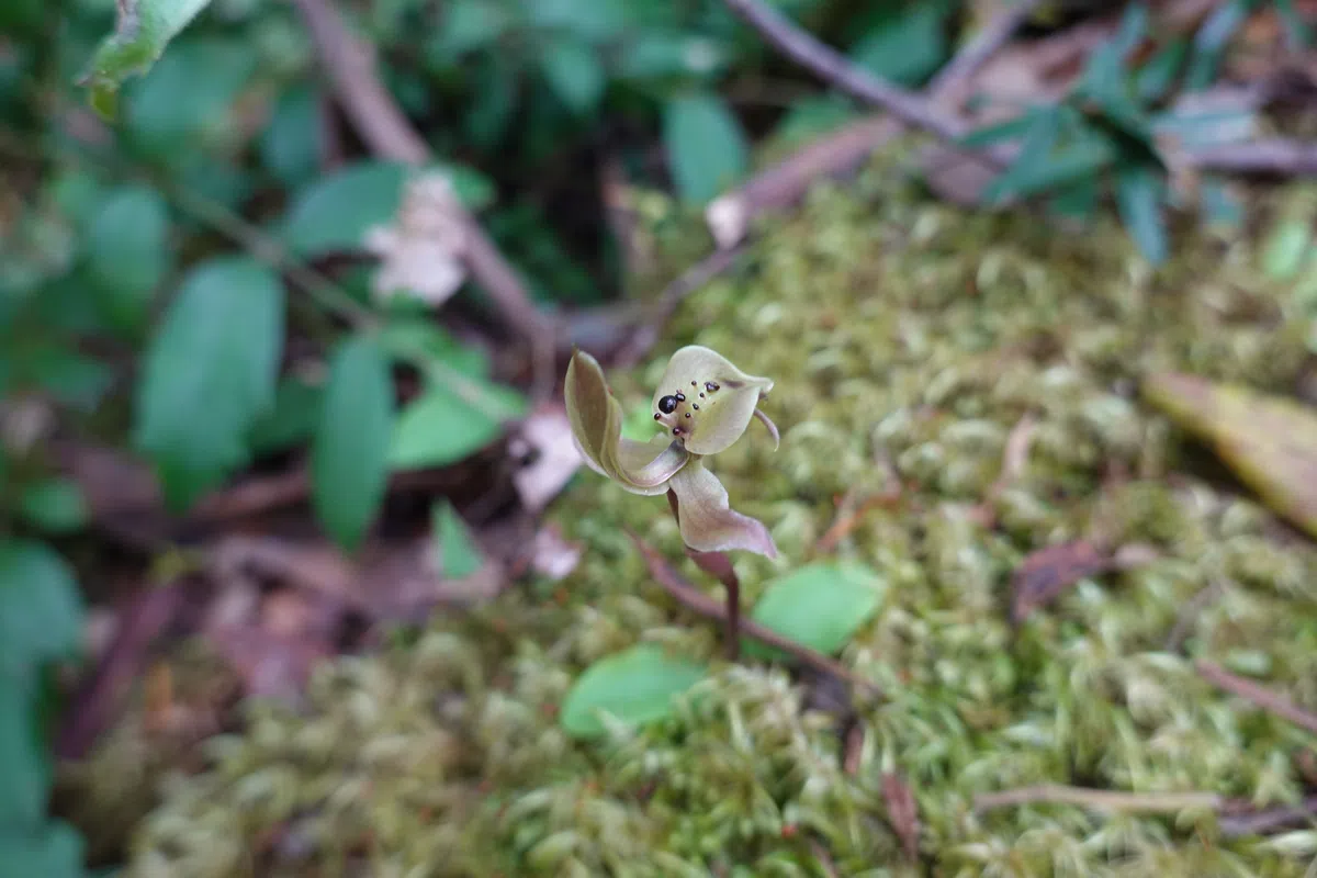
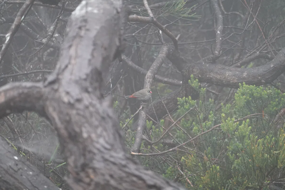
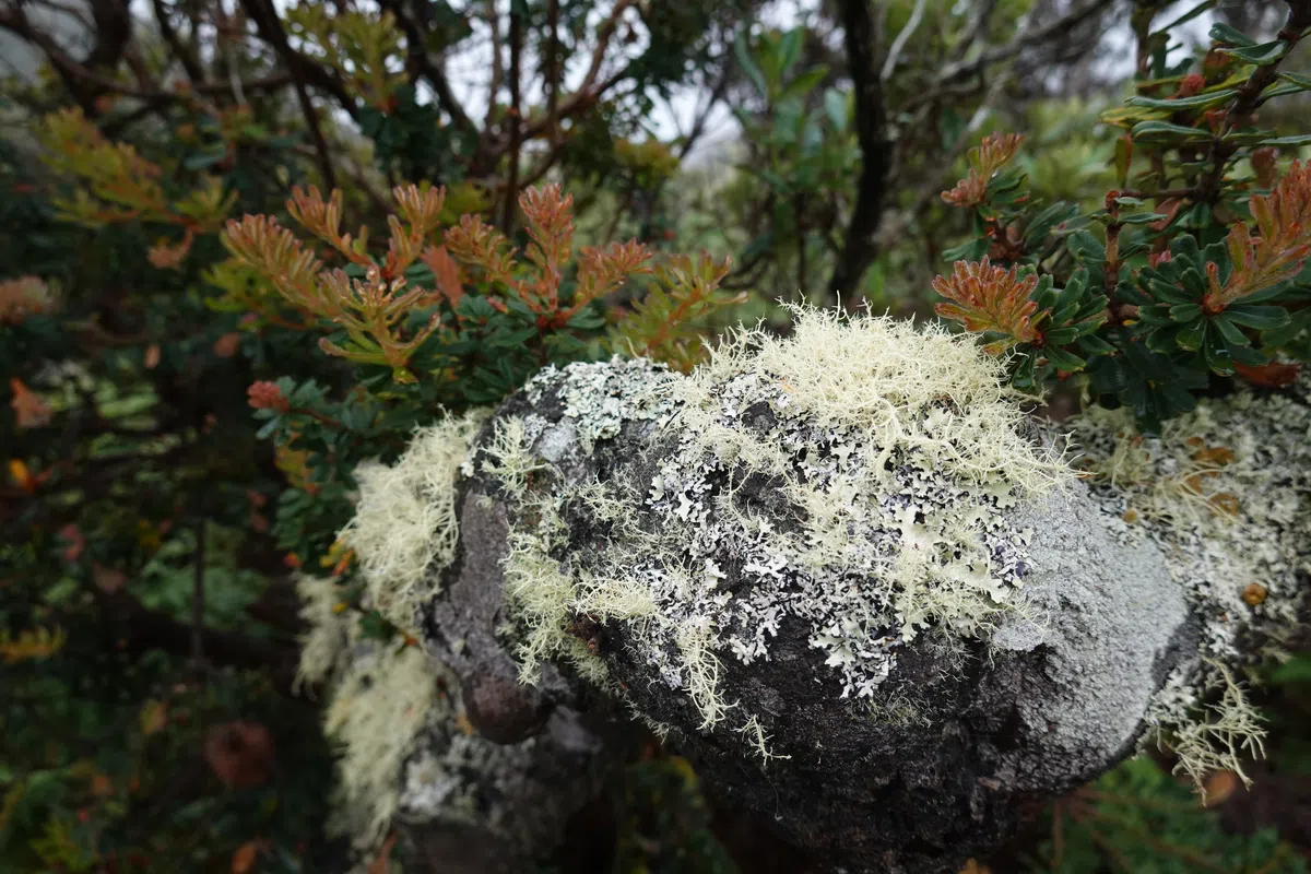
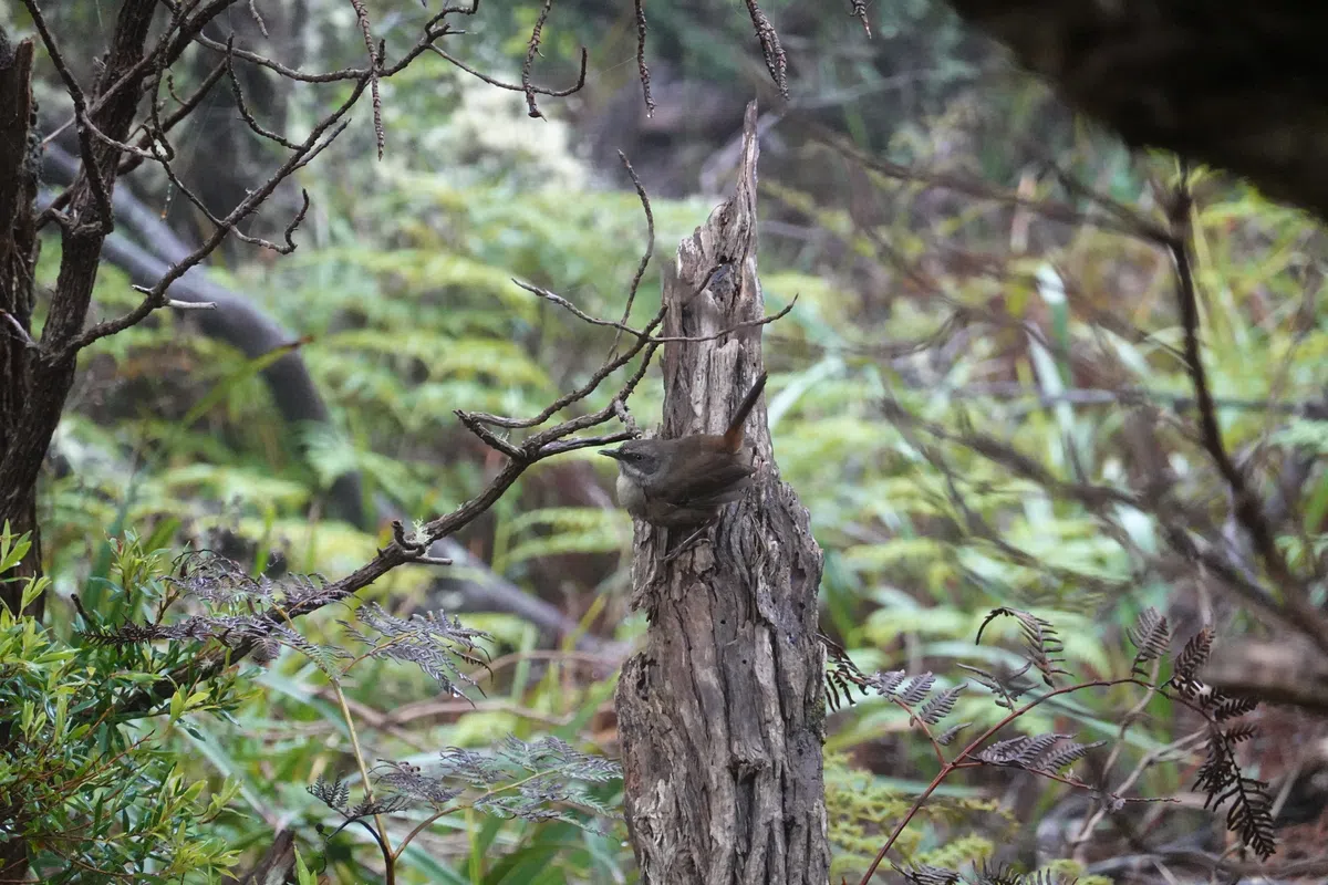
While we did not see the often spotted seals down by the sea due to low visibility, we did see more interesting plants and little critters along the way.
Back towards Munro Cabin on Cape Pillar
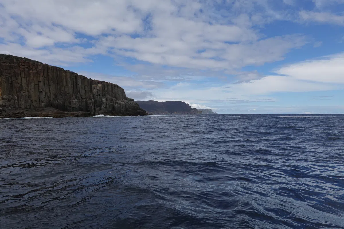
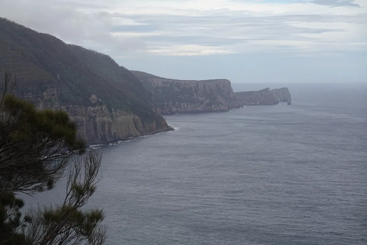
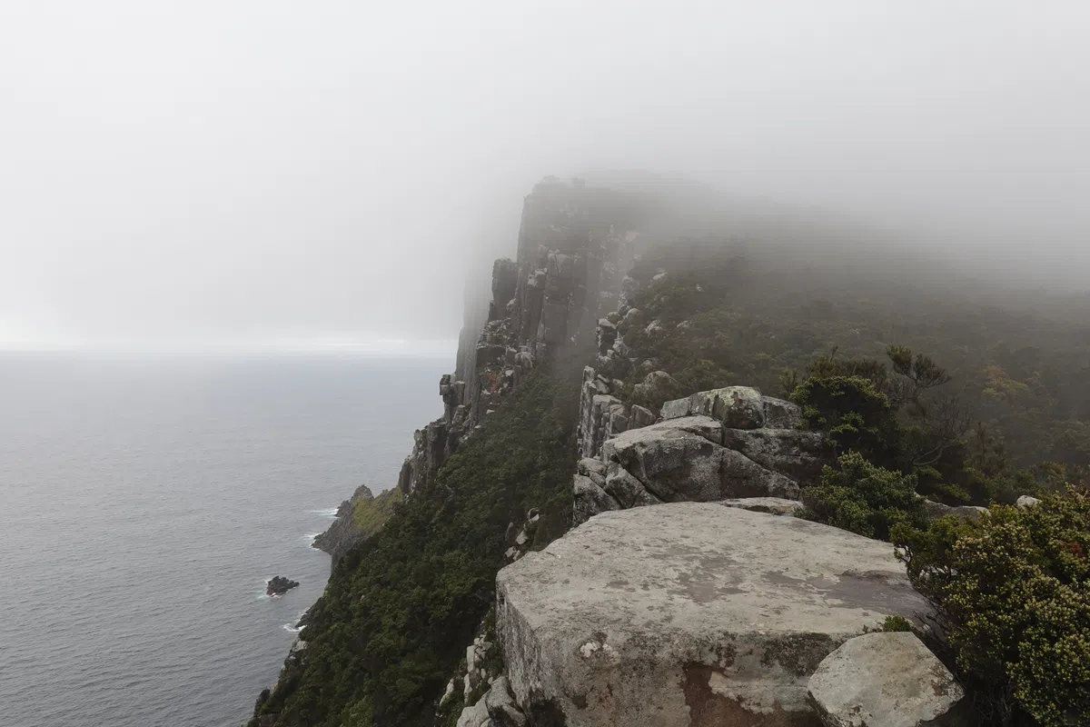
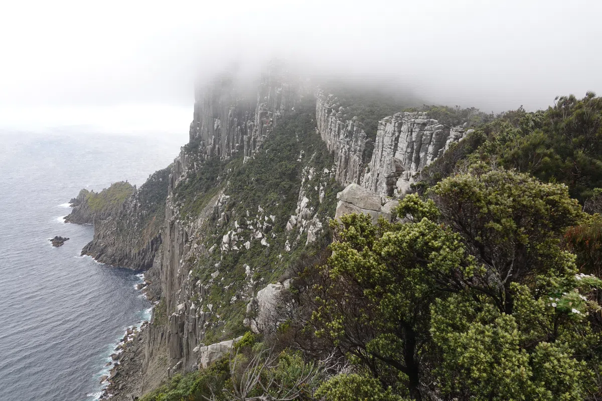
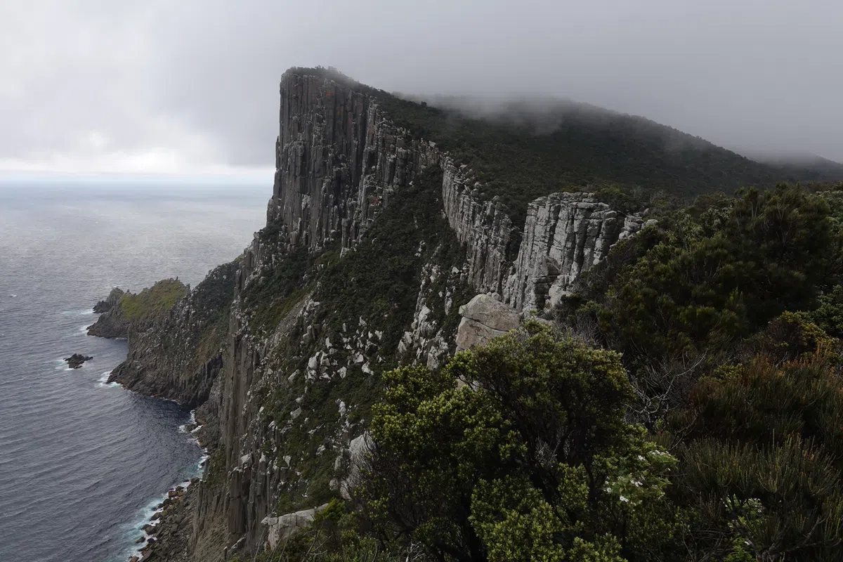
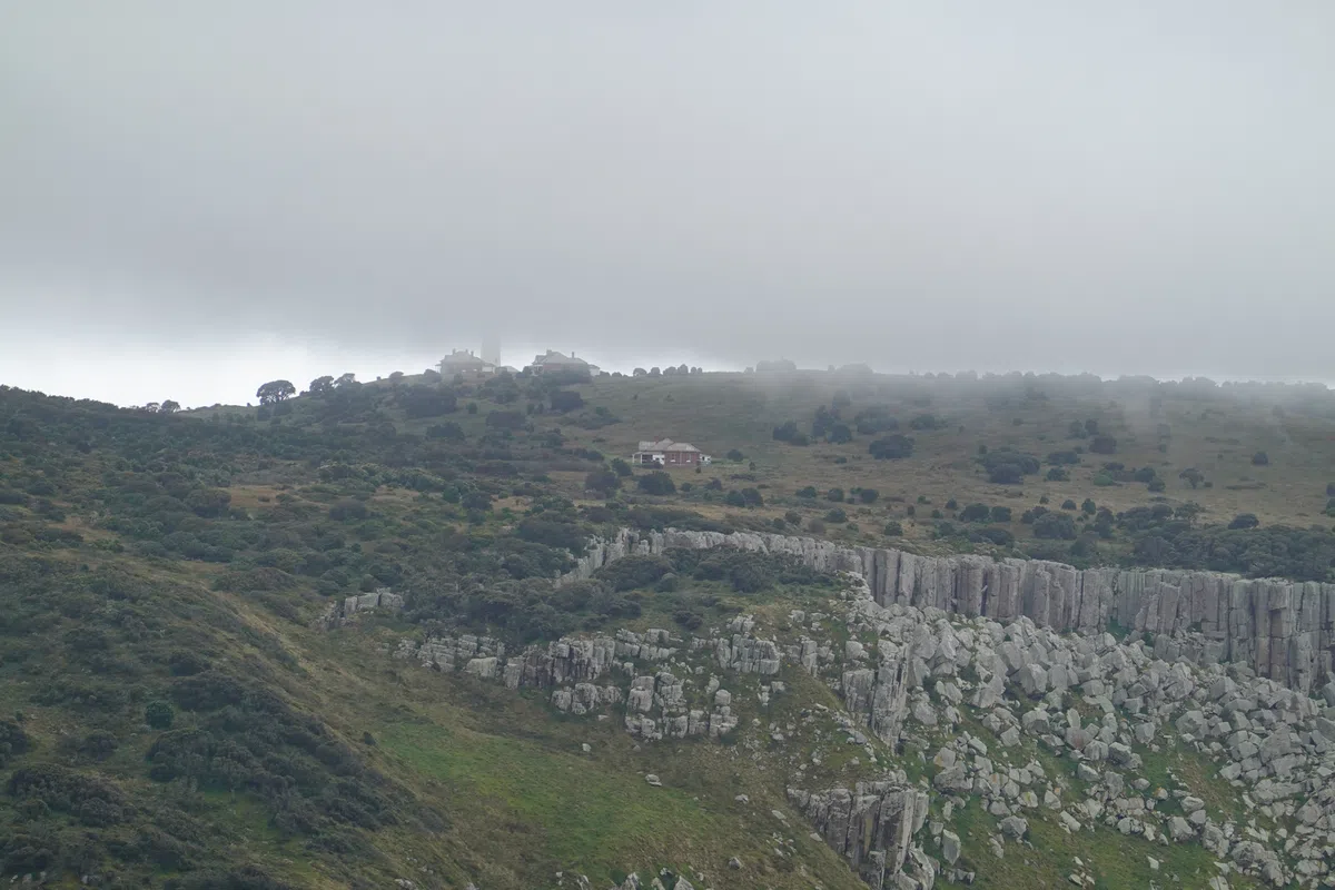
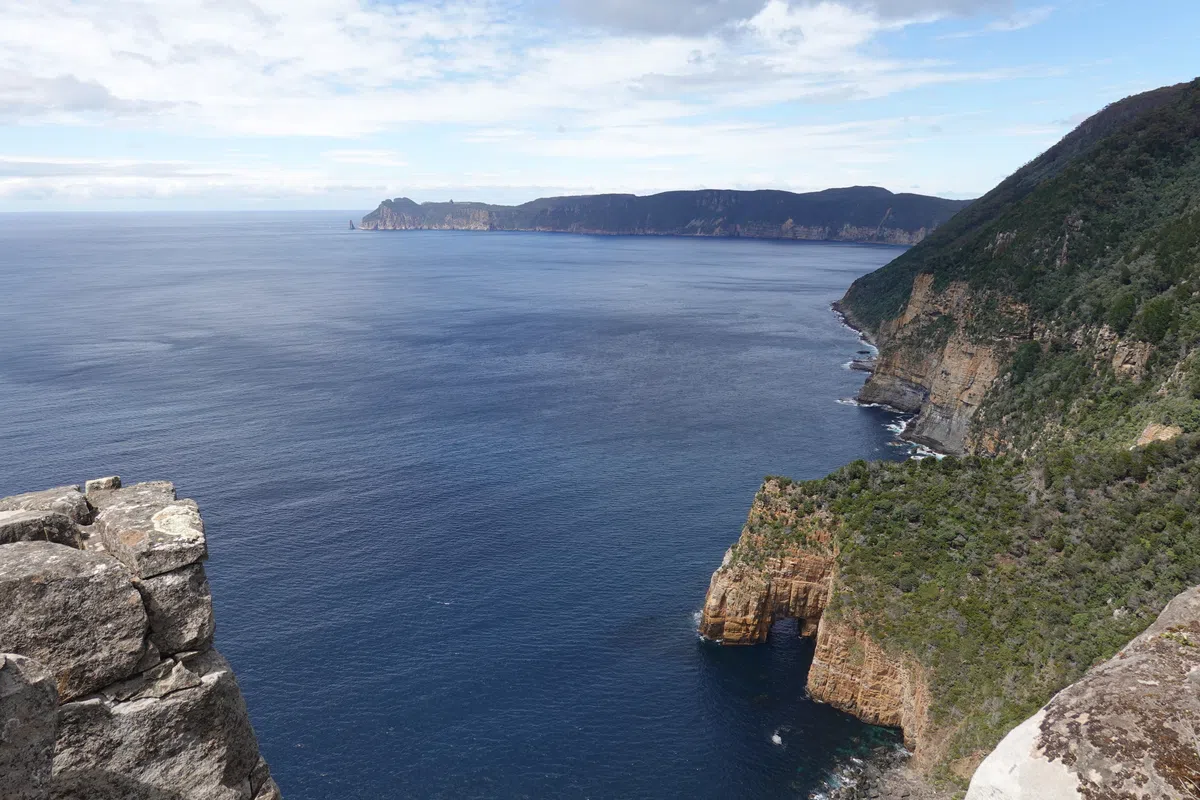
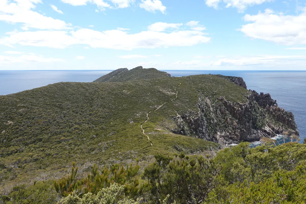
Slowly but surely, the weather cleared, revealing the stunning landscape of Cape Pillar. The winds were still howling and spots of clouds covered the cape from time to time, but the fleeting glimpses were sufficient to leave us in awe. 300 meter high sea cliffs in its full glory, with winds lashing clouds down on its other side.
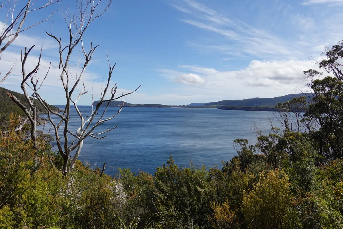
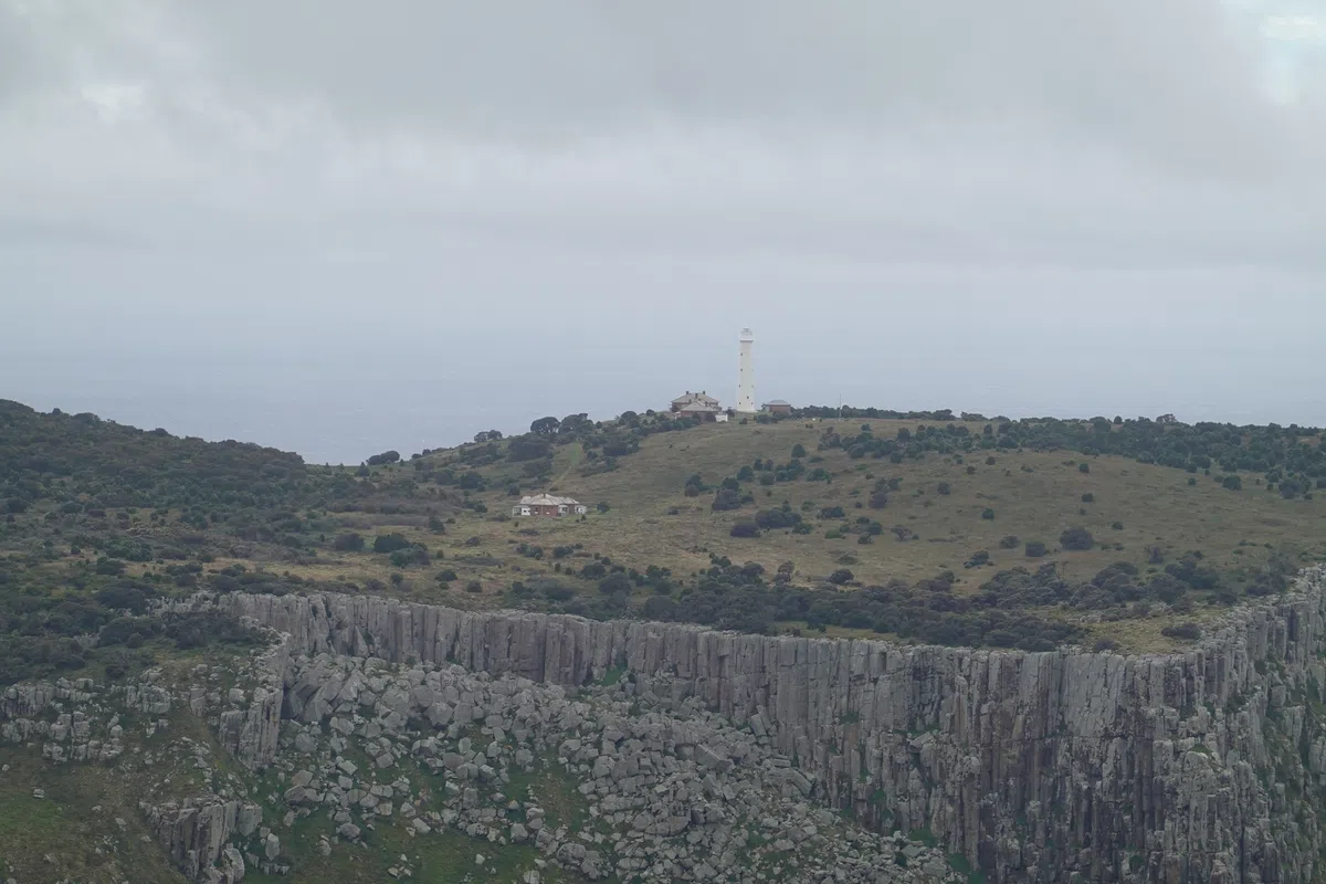
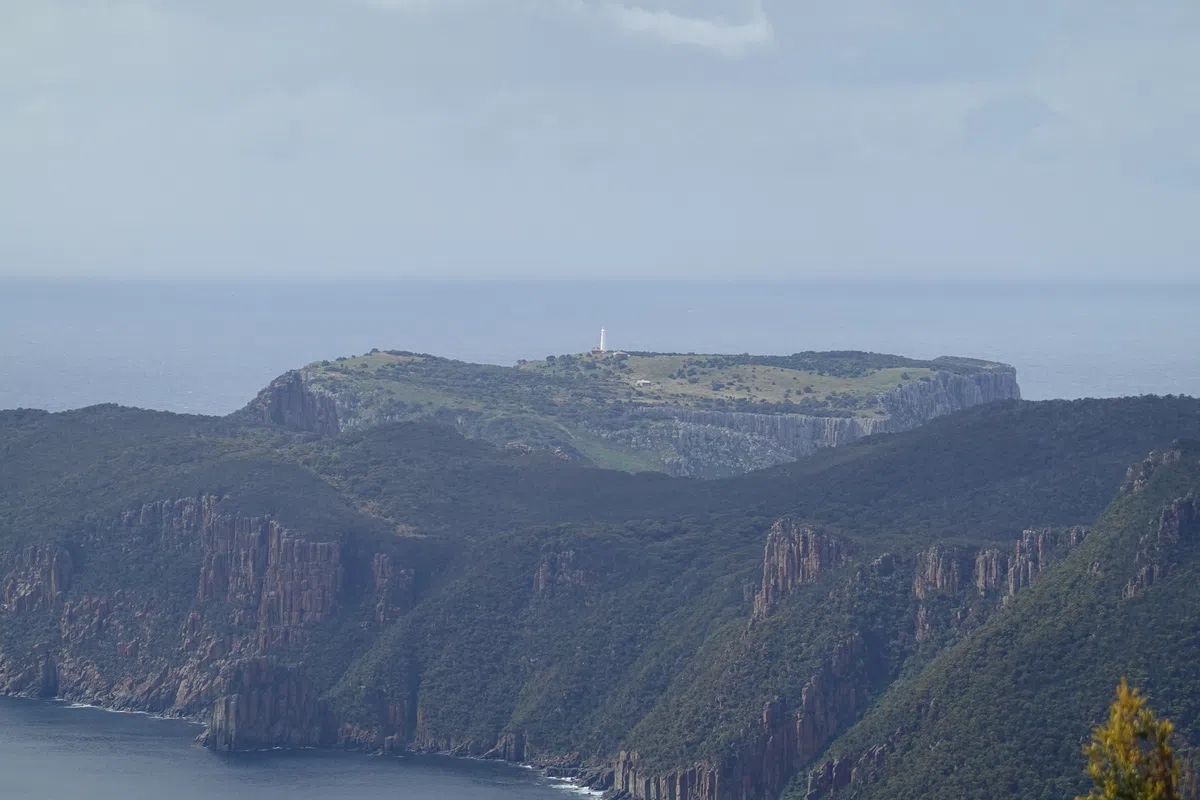
Across the sea, Tasman Island, all the way to the top of the island. With our binoculars we could see the lighthouse and cottages on Tasman Island, as well as the landing platform once used to haul tourists from the rough seas to the top of Tasman Island.
On the other side of Cape Pillar, the sea. Never too far away, with views stretching to Cape Hauy.
The clearer weather on the way back to Munro Cabin allowed us to experience Cape Pillar in a different light, its vast expanse carpeted by thick foliage that stretched to the edges of the cliffs on both sides.
Back at Munro Cabin, hikers from the next day had arrived. We picked up our bags, had another simple lunch of wraps, canned food and hot instant soup before leaving Munro Cabin for the final time.
Retakunna Cabin
It’s a short walk of about an hour from Munro Cabin, back to the track junction, and then to Retakunna Cabin. Finally, the end to a long day, but sadly, also the last night on the trail.
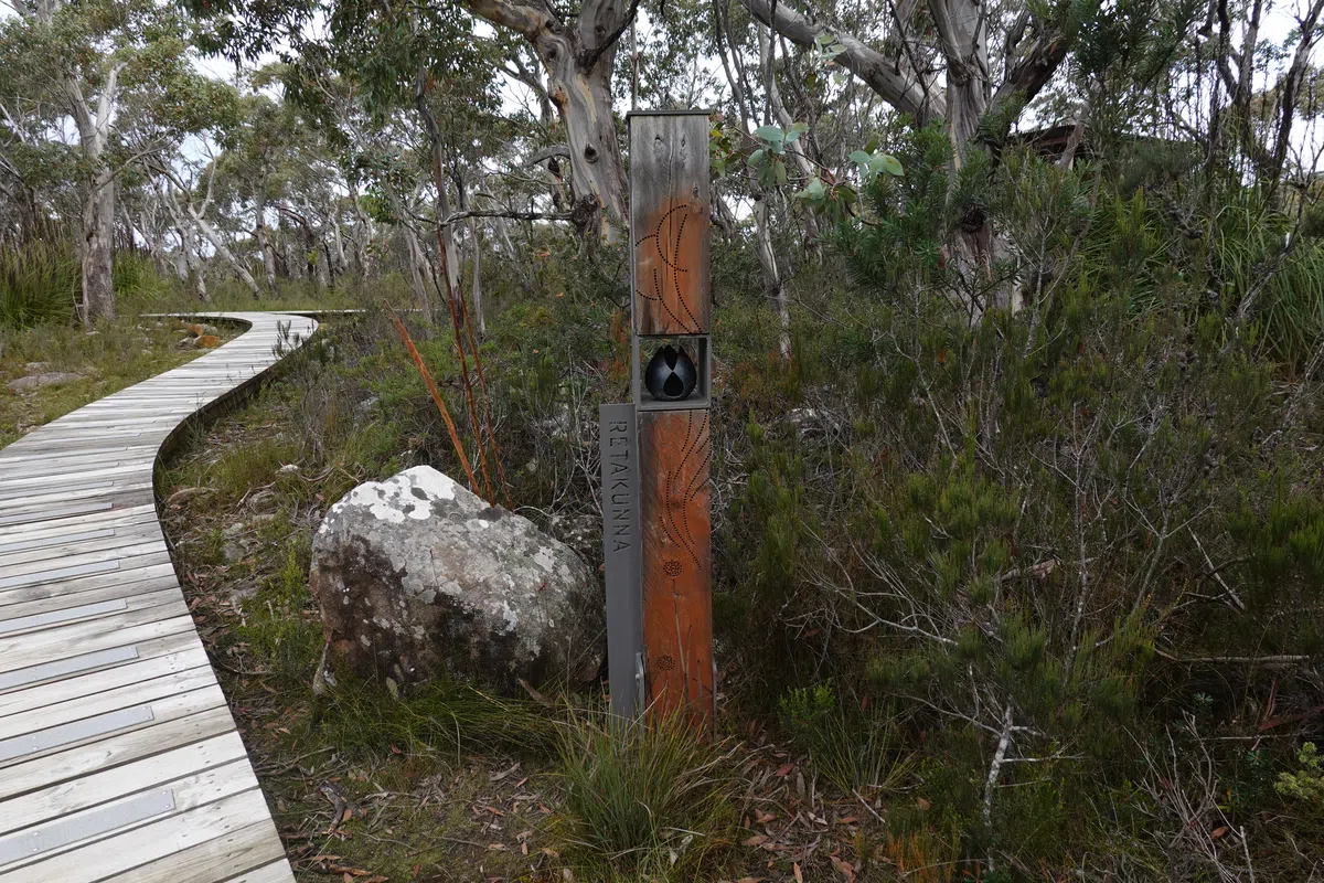
Like Surveyors Cabin, Retakunna Cabin is situated at the edge of open plains – perfect for wildlife spotting.
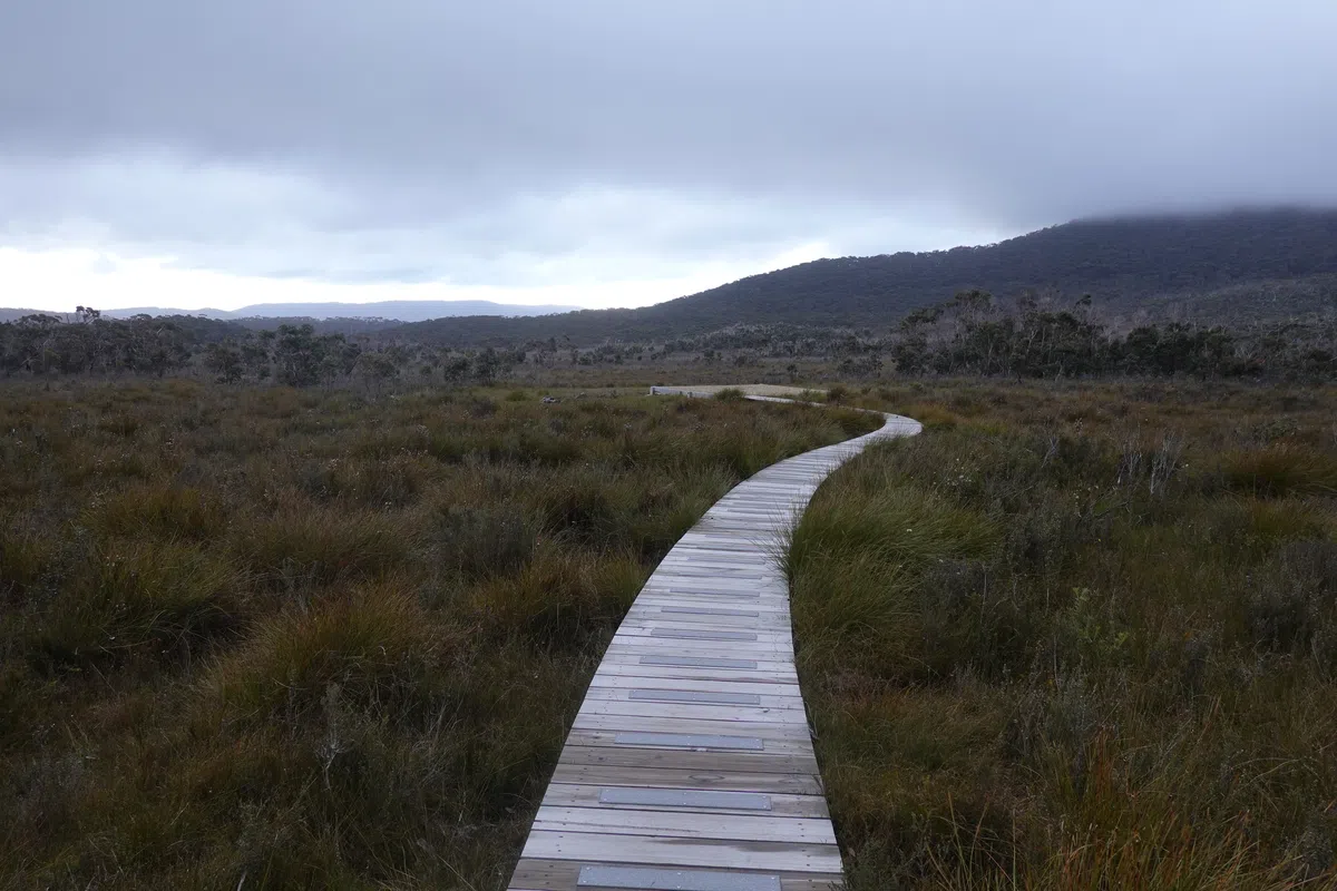
After 2 days of sea views, Retakunna Cabin is the only one that’s tucked away from the sea. It makes up for it with a view of Mount Fortescue, (one of) the challenge(s) for day 4.
Three Capes Track Day 4
In a flash, we were on the last day of our hike. Still no clear skies but just the right weather to start the day.
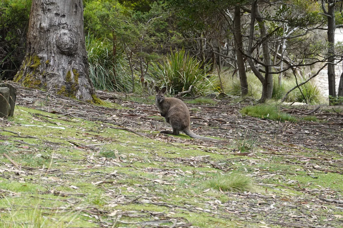
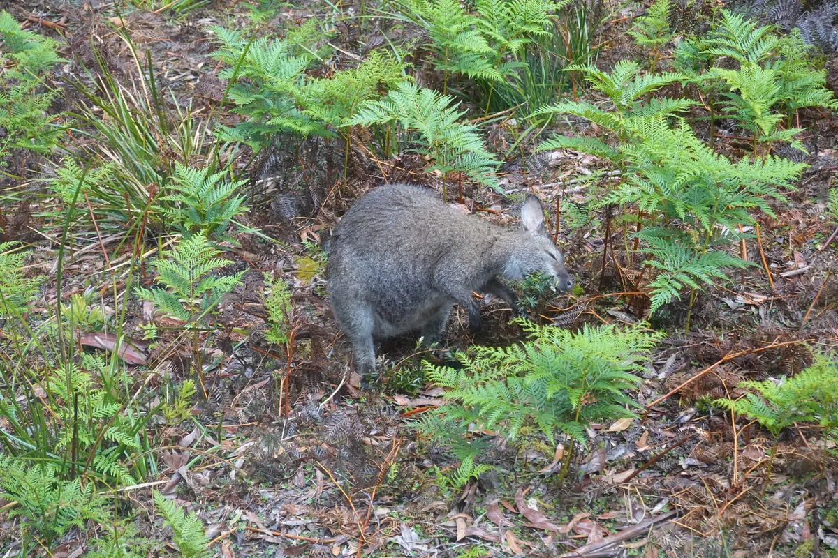
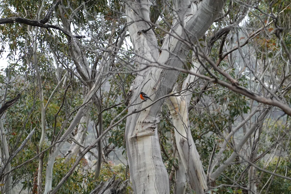
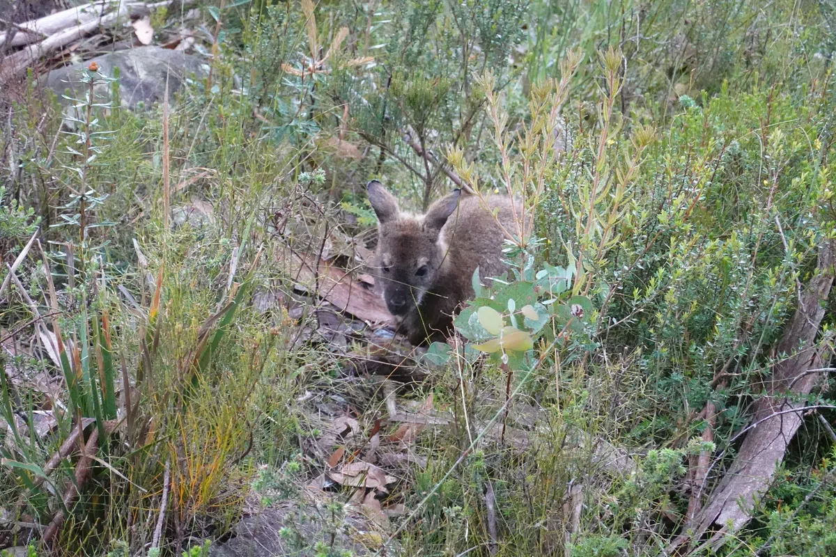
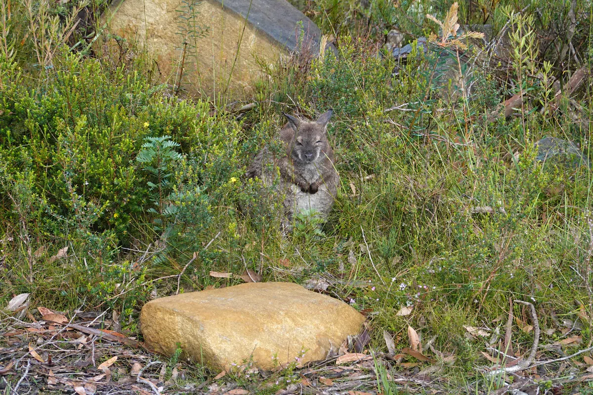
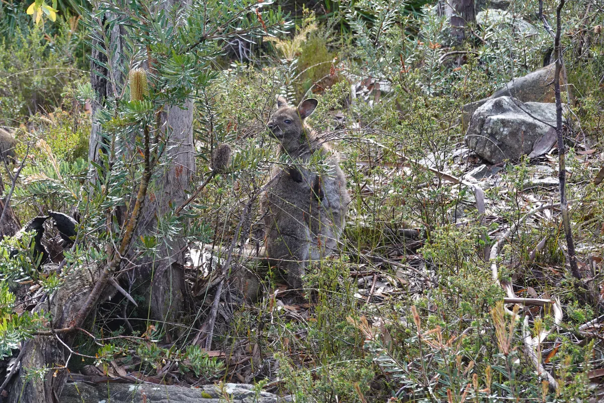
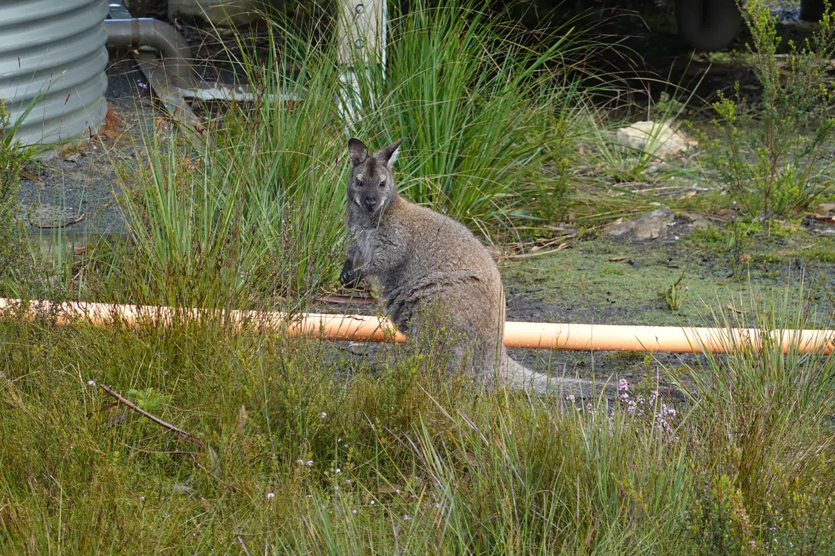
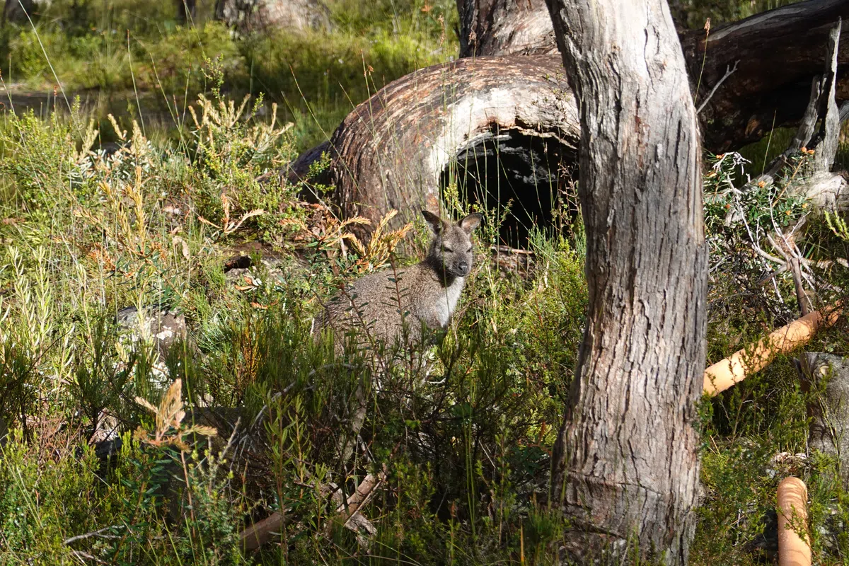
A little tighter on time today as we had a bus to catch at the end of the hike. While we had selected the later bus, we knew we were going to be slow and decided to start our day earlier just to be sure. Unfortunately too many cute little bouncing wallabies that appeared around Retakunna Cabin in the morning threw our plans off a bit.
Towards Mount Fortescue
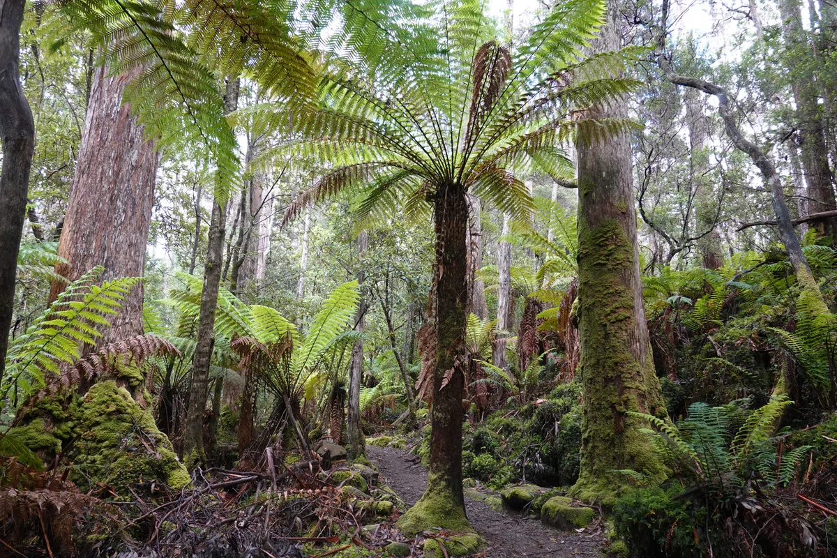
Within steps of Retakunna Cabin we were in a lush forest making our way up Mount Fortescue. With the shelter of the trees and gently climbing steps, our journey to the highest point on the Three Capes Track wasn’t as bad as I had anticipated.
Mount Fortescue
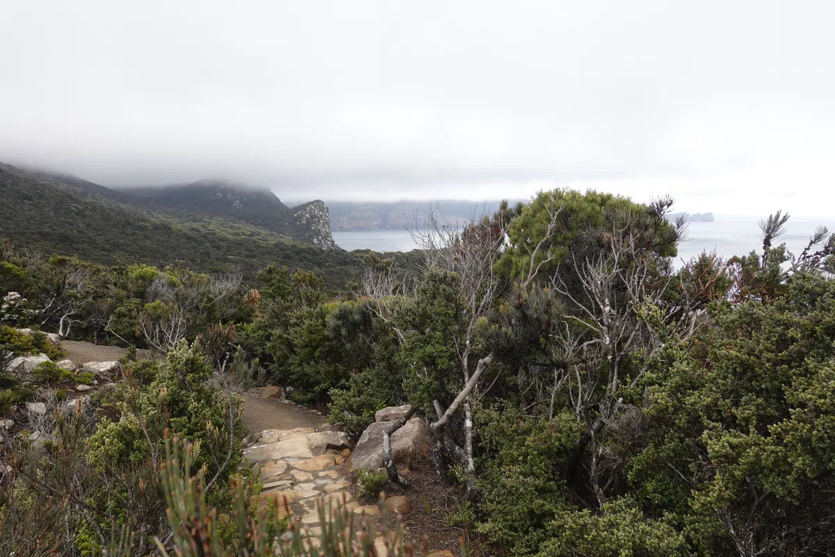
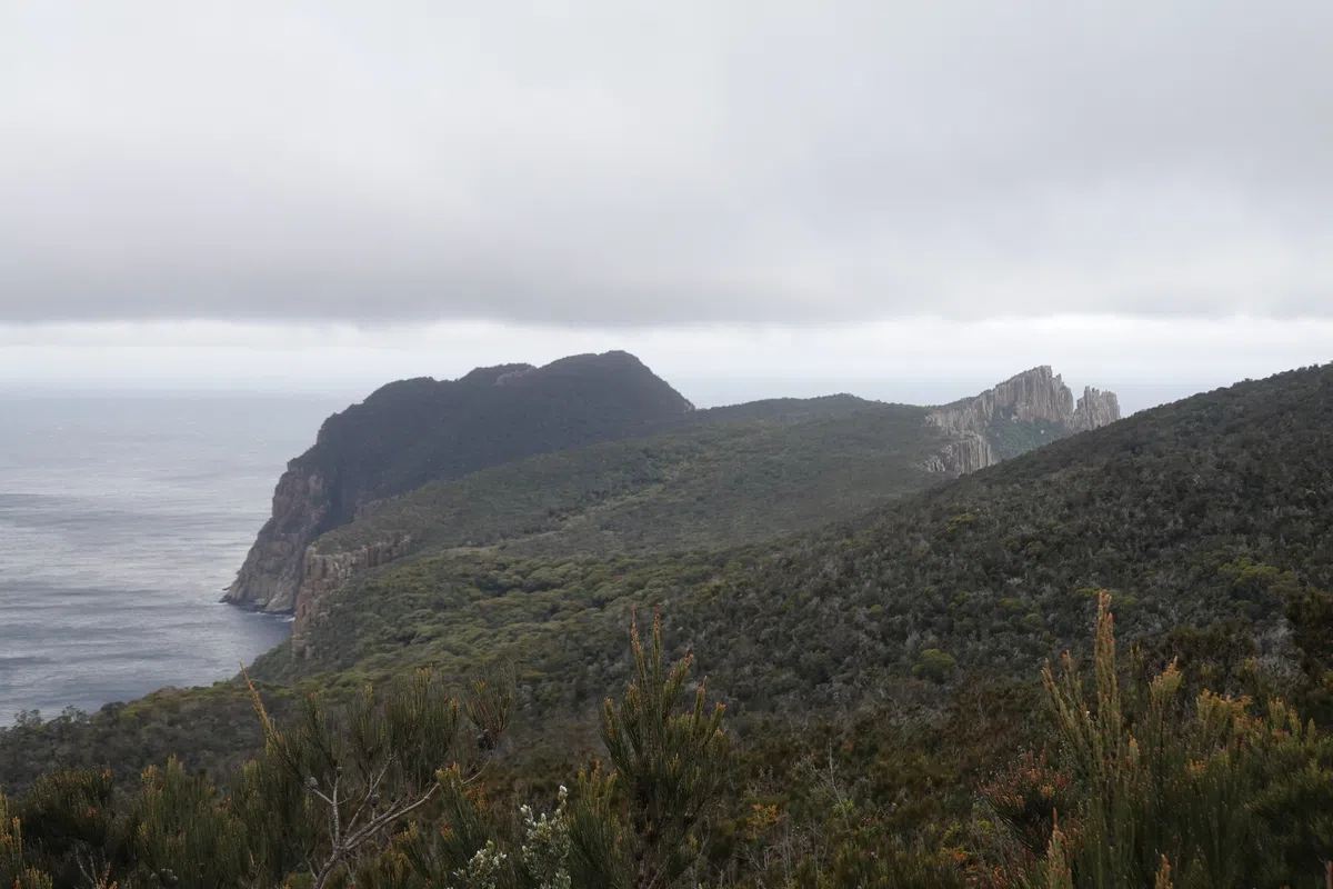
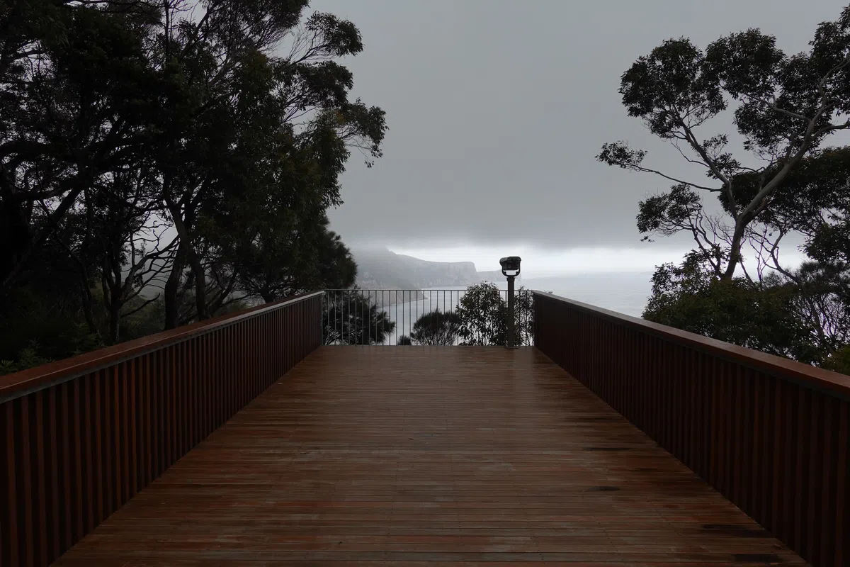
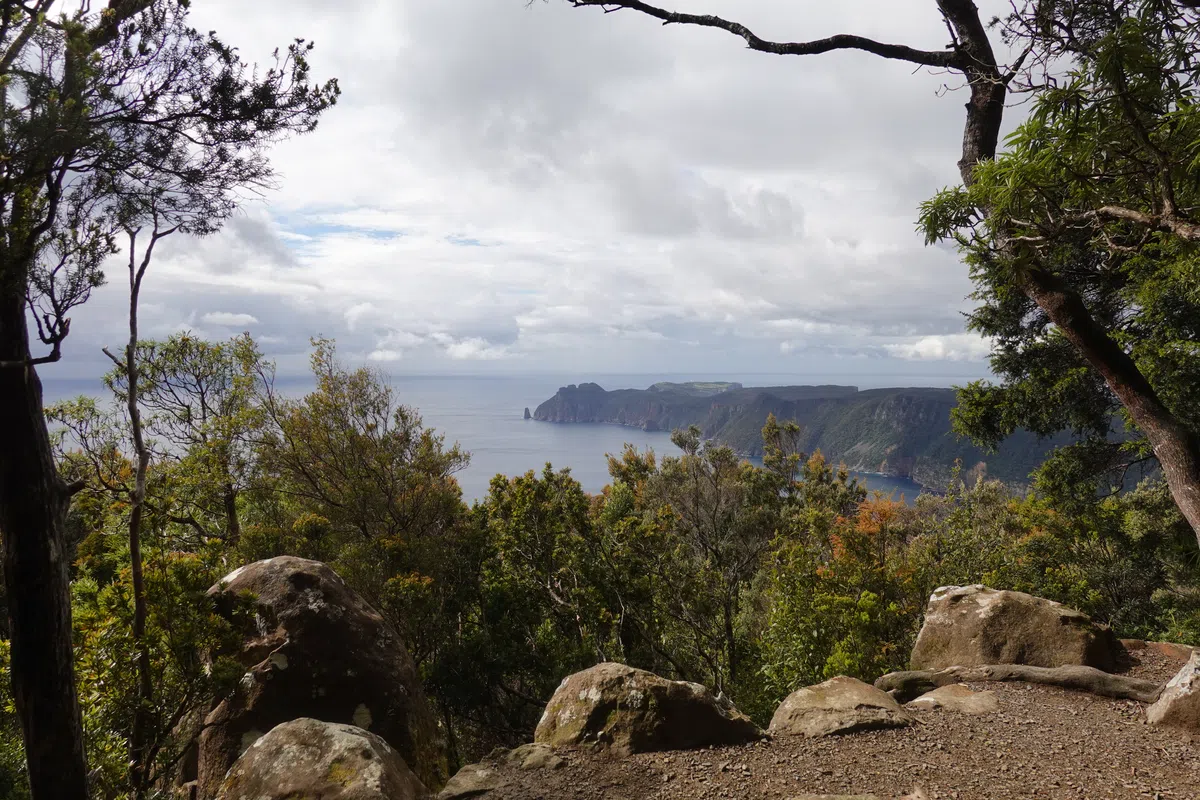
As the climb was somewhat gentle and undulating and through thick forests, it was difficult to figure out if we had passed the 482 meter high peak. At some point though, the trail started to level out and headed towards the sea. It was then that we realized how high we had climbed. After spending a day on Cape Pillar, half of the time shrouded in clouds, we were rewarded with a magnificent clear view of Cape Pillar and Tasman Island. Really cool to see the full distance we had been on the previous day, all in a single frame.
Towards Cape Hauy Track Junction
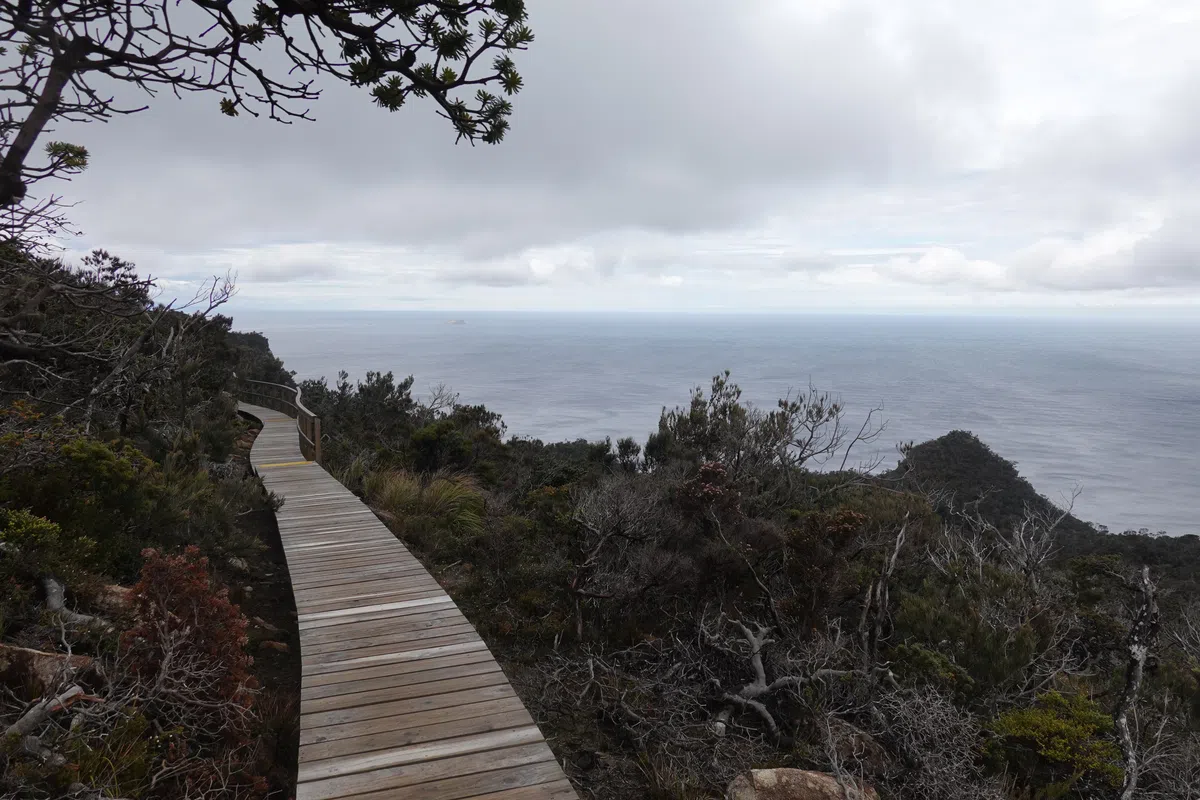
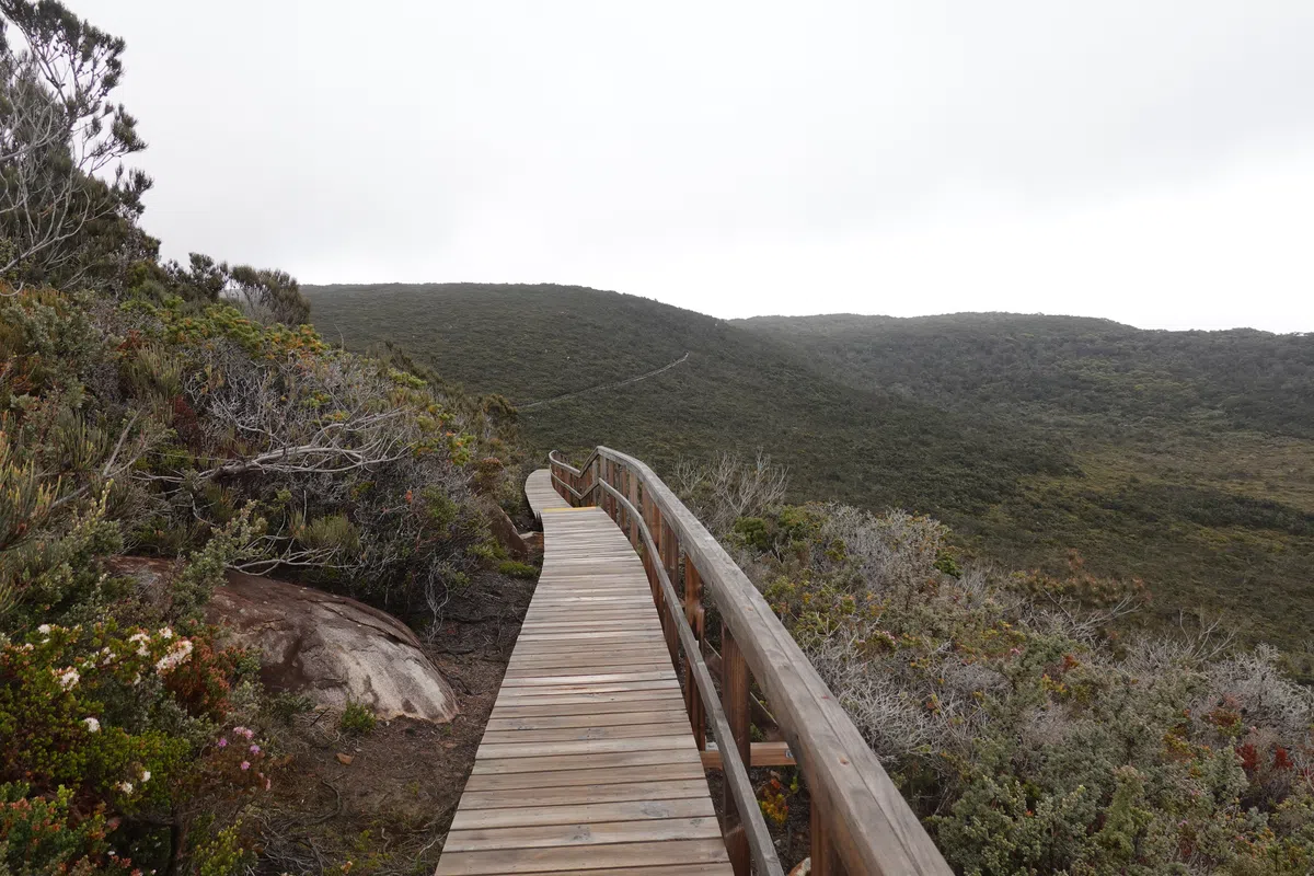
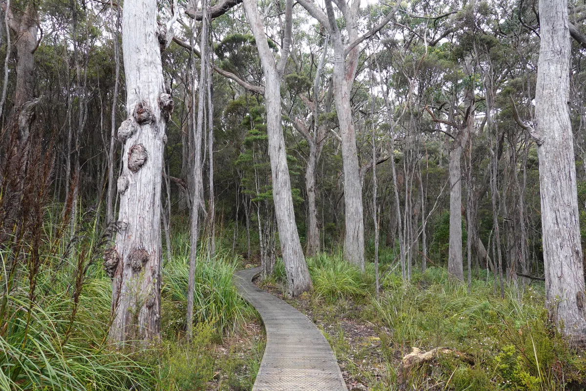
From the first viewpoint, the trail alternated between cliffside walks and rainforest views. It was mostly downhill all the way to the track junction, and the terrain appeared drier as we progressed, till none of the rainforest was left.
At the track junction, one side led to the end of Cape Hauy, and the other to Fortescue Bay, for the end of the Three Capes Track. After days of walking we were almost tempted to cut our trip short versus taking another 2 hour return walk with steep climbs and risk missing the bus back to Port Arthur. Fortunately we came to our senses and set our temptations aside to continue with the Three Capes Track. The decision was definitely made easier by the fact that we could leave our packs at the junction for the return hike down Cape Hauy. As with the Overland Track, precautions had to be taken when leaving packs unattended to avoid a nasty surprise from currawongs.
Cape Hauy
Just beyond the track junction we were wondering why folks in the opposite direction were sweating and panting so hard. We got our answer as the trees parted, revealing the rest of the trail down Cape Hauy. From the track junction, a steep drop of over a hundred of meters down tall steps (or a steep climb in the other direction), followed by another climb to reach Cape Hauy, in the scorching heat. Having to do that all over in reverse wasn’t a thought I was ready to entertain.
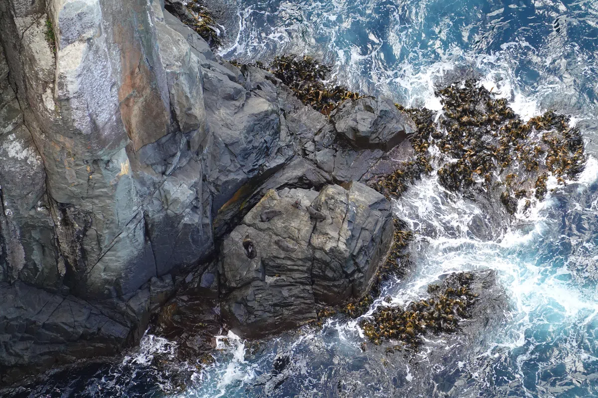
Cliff Clingers/ Seals on the Rocks
Lots of huffing and puffing later, we arrived at the end of the trail on Cape Hauy. The stretch along Cape Hauy was more crowded compared to our previous few days. Most of the Three Capes Track is only open to hikers on the set itinerary, whereas the section to Cape Hauy is available to anyone starting from Fortescue Bay, so there were plenty of day hikers too.
The view from the end of Cape Hauy was amazing, but we would have missed a major highlight of Cape Hauy if not for some friendly hikers who pointed out that roughly 100 meters below us, on the rocks next to the sea, were a bunch of seals. From the top, without any indication, they would look just like any rock or just some blobs below. After missing the seals at the viewing spots on day 3, we were really excited to see wild seals for the first time in our lives. Our binoculars came in handy again. We could easily have lost track of time if not for the fear of being left behind at Fortescue Bay.
The amazing views at Cape Hauy and superb weather were a great way to cap off our 4 day hike on the Three Capes Track. Finally, it was time for the steep ascent out of Cape Hauy and back to the track junction.
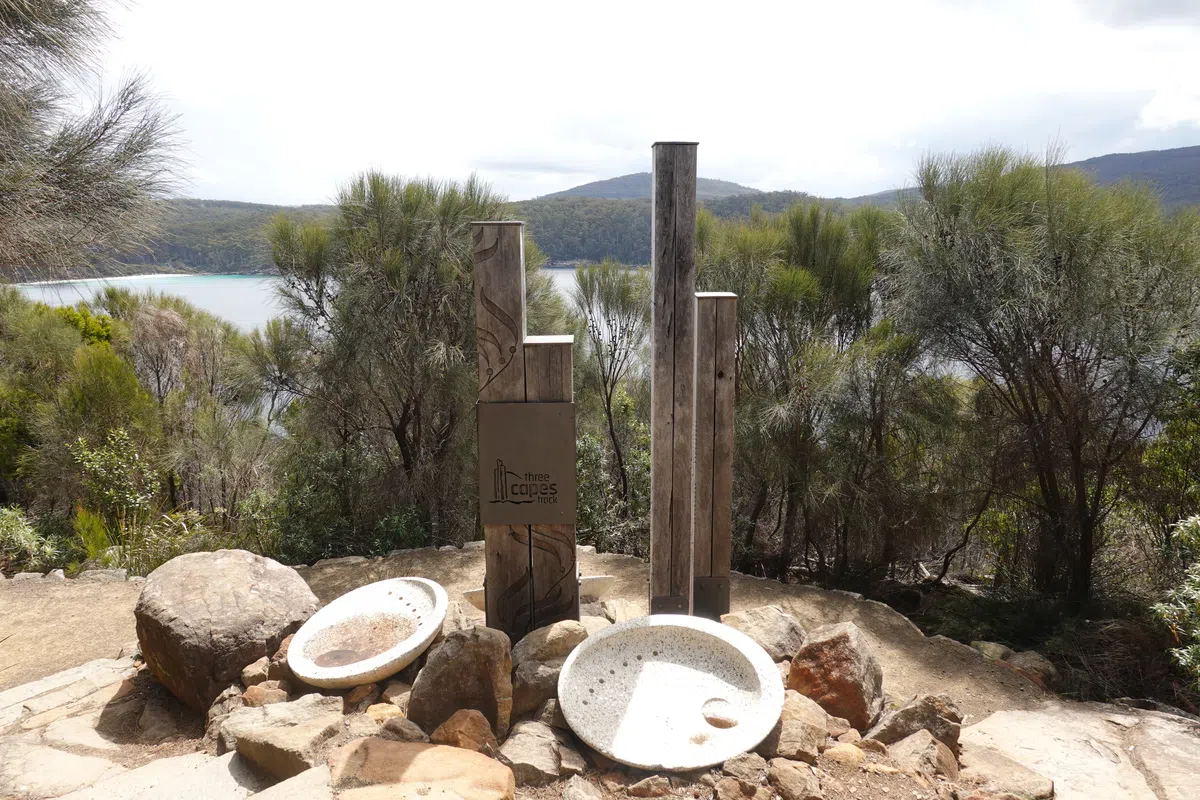
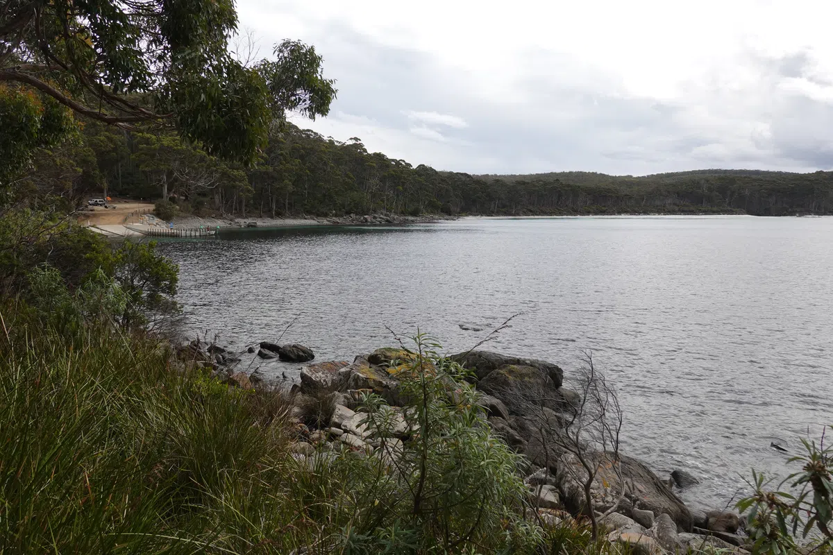
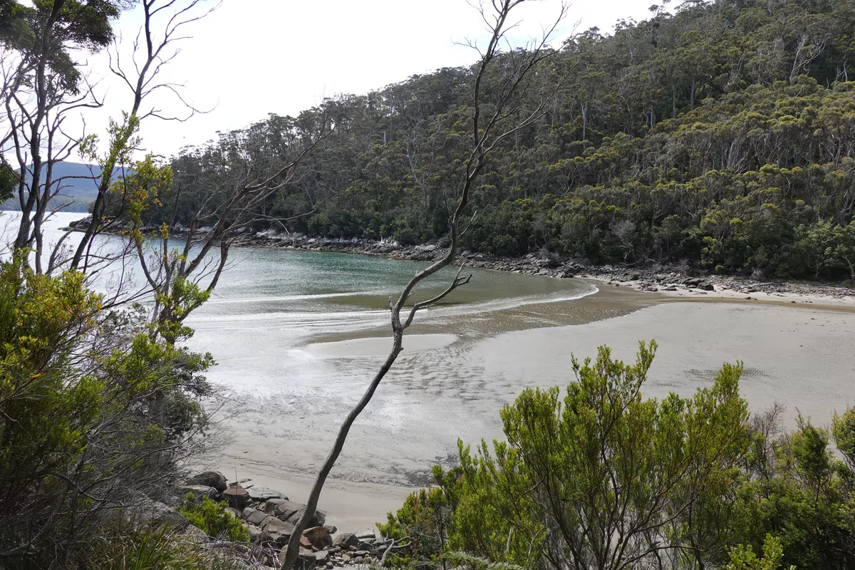
Fortescue Bay/ End of the Three Capes Track
The final bits always feel like the longest parts. It was uneventful on the gradual descent towards Fortescue Bay. Each view of the sea was a glimmer of hope of having reached the end. Even the monument marking the end of the Three Capes Track wasn’t exactly at the end. But as with all hikes, we did reach the end, at Fortescue Bay. A serene, friendly looking beach with tall trees and gentle waves. We joined up with the other hikers who had completed their hike and waited for the bus back to Port Arthur. Coincidentally or not, Fortescue Bay would also be where we begin our road trip around Tasmania, as our first night on the road. More to come! For more information on how you can do the Three Capes Track too, check out my next post.