Trekking to Yubeng, the village hidden within the mountains at the Yunnan-Tibetan border. 4 days across snow-capped peaks, deep valleys, alpine forests, secluded lakes and waterfalls in buses, 4wds, and on foot.
Somewhere at the Yunnan/ Tibetan border, probably not too far from the eastern end of the Himalayas, lies a hidden village, once so obscure it was once considered mythical. It’s possible to reach Yubeng on foot today, or if your wallets allow, on donkeys too, but those are probably the only two ways to get into this lost paradise nestled deep within one of nature’s best pieces of art. There weren’t many accounts on Yubeng available while I was doing my research, hope this helps you if you’re planning to make the trip!
2020 Edit:
- There’s apparently a dirt road running through to Yubeng now so it’s possible to ride a jeep in, probably at a high cost. Development is reaching deeper into the mountains so do visit soon before it becomes overcrowded, as has happened at many amazing nature spots in China.
- This visit was made in 2015 so some information and pictures may be outdated, if referencing this for your trip please use with caution!

Kawagebo Base Camp, on the hike from Yubeng village to the Glacier Lake.
Yubeng Itinerary
- Day 1
- Shangri-La to Deqin (Bus)
- Deqin to Feilaisi (Bus)
- Enjoy views of Meili Snow Mountain Range from Feilaisi (Temple)
- Night at Feilaisi (guesthouses outside temple)
- Day 2
- Feilaisi to Xidang (4WD)
- Xidang to Nanzhang Col (Start of hike): 1.1km ascent over 6.1km
- Nanzhang Col to Upper Yubeng: 500m descent over 3.3km
- Night at Upper Yubeng Village
- Day 3
- Upper Yubeng to Glacier Lake (Ice Lake) and back: 5.8km one way
- Upper Yubeng Village to Lower Yubeng Village: 170m descent over 1.6km
- Night at Lower Yubeng Village
- Day 4
- Lower Yubeng to Sacred Waterfall and back: 5.4km one way
- Night at Lower Yubeng Village
- Day 5
- Lower Yubeng to Ninong (End of hike)
- Ninong to Deqin (4WD)
- Deqin to Shangi-La (Bus)
Feilaisi/ Yubeng Budget
- Actual travel dates: 28 May 2015 – 1 June 2015
- Accommodation: ¥120(~S$26 for 4 nights, 1 at Feilaisi and 3 at Yubeng)
- Attractions: ¥235(~S$51)
- Food: ¥228(~S$50)
- Transport (excl bus back to Shangrila): ¥103(~S$22)
- Bus to Shangrila: ¥67 (~S$15)
- Total: ¥757(~S$164) (if include transport from Shangrila to Deqin too for roundtrip, ~S$180)
Additional Night at Shangri-La
- Actual travel dates: 1 June 2015 – 2 June 2015
- Accommodation: ¥30(~S$6.5 for 1 nights)
- Food: ¥89(~S$19)
- Transport (excl bus to Lijiang): ¥4.5(~S$1)
- Bus to Lijiang: ¥62 (~S$13)
- Total: ¥185(~S$40)
By now I’m fast running out of superlatives to describe my journey, but the trip to Yubeng was absolutely stunning (and at times really terrifying). Fortunately this was my last destination in the Yunnan highlands before returning to city life, as I won’t have any words left to describe anything further up north (Tibet, Qinghai, Xinjiang).
Note- this trip does not contain any summit attempts (illegal, and I’ll probably not survive any such attempt), but is made up of a couple of scenic hikes through slightly mountainous terrain to various points of interest.
Previously …
2 days before I was to start my journey towards Yubeng, I was hit by a pretty severe bout of altitude sickness. I had spent 2 weeks in Yunnan without issue but somehow something went wrong at Shangri-La, starting late in the night I arrived (might have been the excessive Yak butter tea during dinner), with endless puking trips to the toilet and my head spinning throughout the night.
I was fortunate that my good friend had joined me for this leg just a few days before, and really thankful that he brought me to the hospital for a drip the next morning, which after an hour lightened stuff a little. Spent the rest of the day resting, probably my first full day off since leaving Singapore over 2 weeks back. Miraculously felt good enough for the hiking trip to the mountains 2 days later, and so my Yunnan adventures continued, to the northernmost and final stop in Yunnan, almost touching Tibet.
Day 1: Getting from Shangri-La to Feilaisi
We left our larger bags at the Shangrila hostel and brought just the essentials – amounting to a small backpack each. Can’t imagine how we would have survived if we hadn’t done so. It wasn’t that difficult but my fitness isn’t in that great shape either.
Shangri-la to Deqin
We took the morning bus from Shangri-La Bus Terminal to Deqin. Not long after leaving the city, we were passing huge grass plains, and abruptly, the landscape became much more raw and barren, as we climbed into the mountains.

En route to Deqin (from Shangri-la/ Zhongdian). 
Lunch stop with a view.
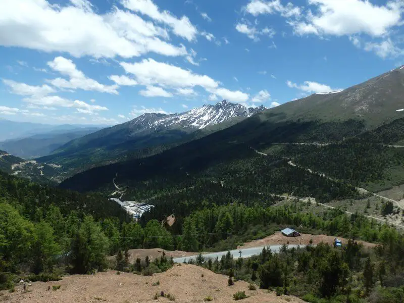
The bus climbed higher, the landscape grew more dramatic, but the bus showed little sign of slowing, and the ride got a little more perilous. Nevertheless, the view from the bus was a real treat.

Barren terrain and mountain roads. 
Snow-capped peaks and lush forests. 
Right out of the bus. 
Highland veggies. 
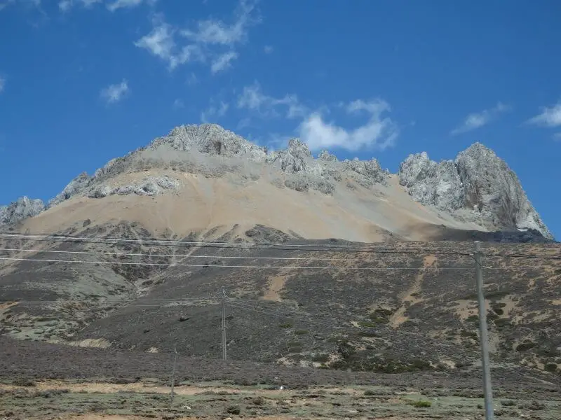
Dramatic rock formations along the highway. 
Roads winding along the side of the mountain with steep hairpins, reminiscent of the route to Pai.
A high point of this trip, in every sense of the word. The highway climbed to well above 4 kilometres above sea level, to the highest point at the Bai Ma Snow Mountain (Baima Xue Shan).

Highest point on the highway from Shangri-La to Deqin, at Baima Snow Mountain – 4,292m. 
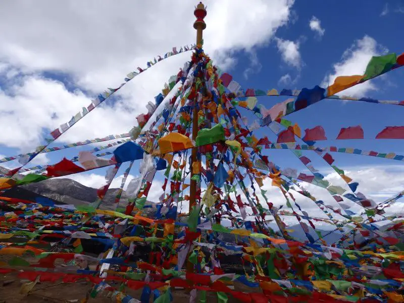
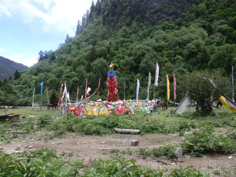
Colourful prayer flags.
Deqin to Feilaisi
After a couple of hours going round and round the mountains, we arrived at Deqin Bus Terminal, where a smaller bus was waiting for passengers transferring to Feilaisi (Feilai Temple), a small district surrounding a temple where most hikers spend the night before beginning the hike to Yubeng the next day. Our hostel at Feilaisi was decent overall, but sanitation was lacking. Flushes ran out of water the next morning and it was a ghastly sight.

At Feilaisi, the stunning snow-capped peaks behind the temple walls. 
Our hostel at Feilaisi.
Feilaisi (Feilai Temple)
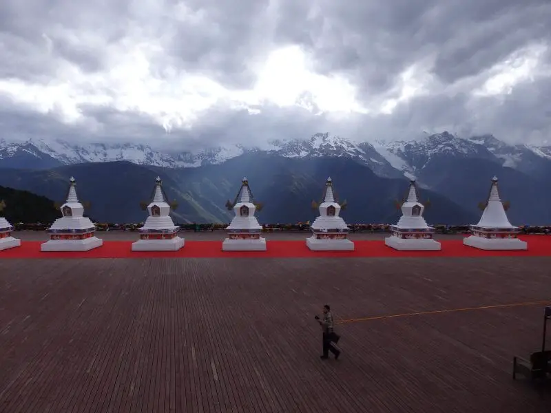
After checking in, we visited Feilaisi, a temple built on the edge of the mountains (¥230 admission ticket, includes Yubeng and a few other places, can’t be bought separately). The viewing deck at the temple offers amazing views of the entire Meili Snow Mountain range, a group of sacred Tibetan mountains reaching over 6,000m above sea level, not far from the Himalayas (but probably not walkable to either).

Feilaisi (Feilai Temple), a temple built on the edge of the Meili Snow Mountains (Meili Xue Shan). 
Divine intervention. 
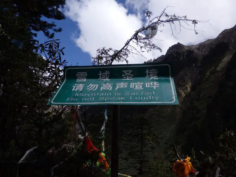
The surrounding mountains are sacred grounds, and till date no one has successfully made it to any of the major summits. Nor is anyone allowed now. 
Cloud filter.
Got some supplies from the minimarts outside the temple, had an early dinner at the hostel restaurant before turning in early for the night, as the following day was to be a long one.

At that altitude (3,300m), everything look like they may explode anytime.
Day 2: The Magical Sunrise and Hike to Yubeng village
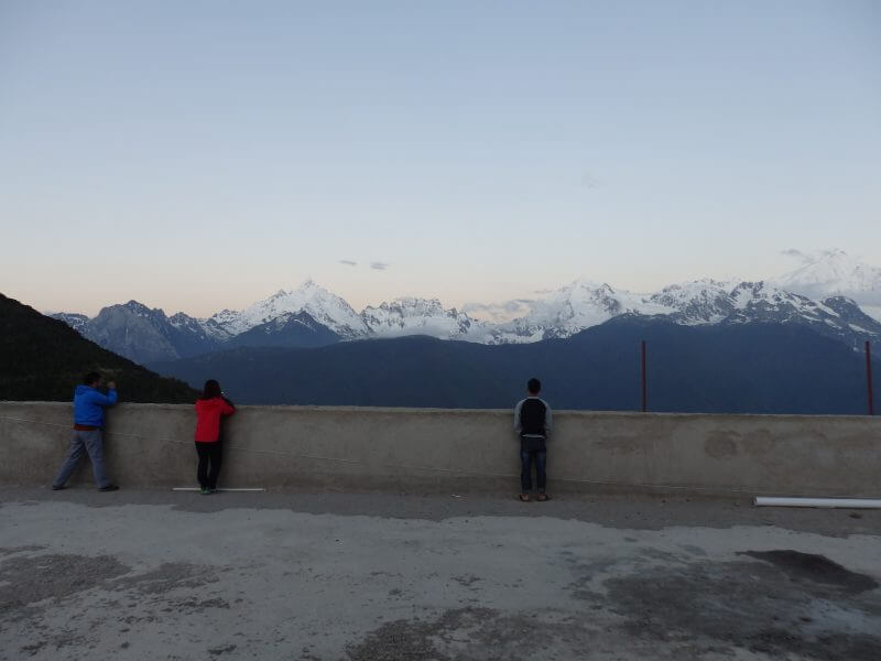
The next morning, we woke up around 6 to catch the legendary sunrise, the descent of the first rays of light upon the Meili Snow Mountain range, which travelers in this direction have been so fervently talking about. There was a signboard outside the Feilai Temple with the daily sunrise timings throughout the year, so we made it well in time to catch the sunrise in it’s full glory, with the great weather (no clouds and not too much wind, but chilly nonetheless).

Woke up at 6am to catch the first rays of sunlight falling upon the sacred mountains. Sun’s not yet risen, but we were ready for it. 
Found a great vantage point atop a building under construction. Was particularly chilly at 6 degrees.
Sunrise over Meili Xueshan (Meili Snow Mountains)
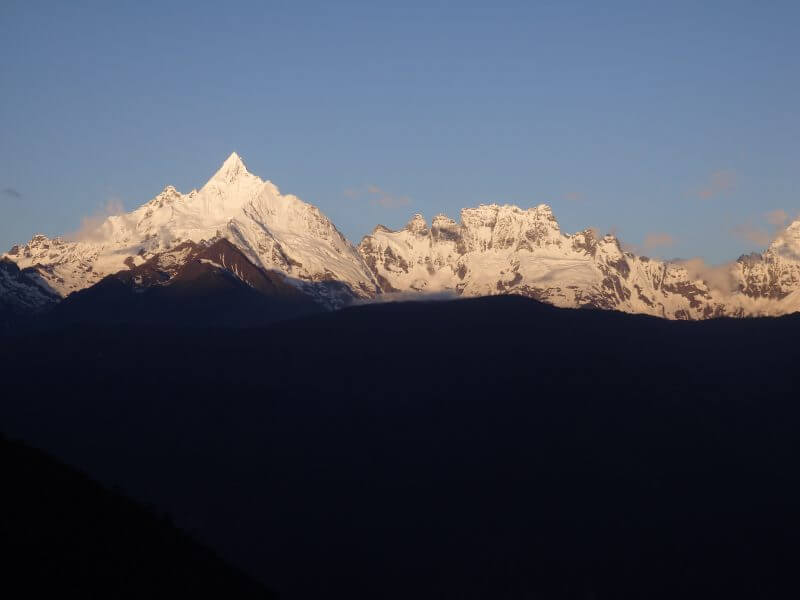
Finally, after a shivering few minutes spent waiting in our pyjamas on the roof of a building on construction, the long anticipated first rays of light, with a term given to it by the locals ‘日照金山’, which describes how the rays of light appear to turn the snow-capped peaks into gold.

First rays of a new day! The Chinese call it 日照金山 (sun shines on the golden mountain).
One of the peaks must have been the (in)famous Kawagarbo (6,740m), which claimed countless lives before climbing was banned in 2001. Tibetans believe the peaks are sacred and if humans were to set foot on the summits, disaster will follow. Attempts have been made in the past despite protests and warnings from Tibetans. The most well known summit attempt was probably the deadliest one, where a full team of 17 expedition members were killed in an avalanche in 1991.

Can’t identify the peaks but I think this is Kawagebo/ Kawagarbo, the sacred Tibetan peak 6,740m above sea level. 
As the sun rose higher, the glistering gold peaks slowly turned into sparkling white peaks.
Feilaisi to Xidang (Start of hike to Yubeng)
After breakfast, we waited outside the temple for other hikers to share transport with to the start of the trail at Xidang. Charges are by vehicle (4wd cars), regardless of passengers (probably 4 max) and I think we were a little late as it took us quite awhile to find a few more people.

Waiting for transport outside the Feilai Temple.
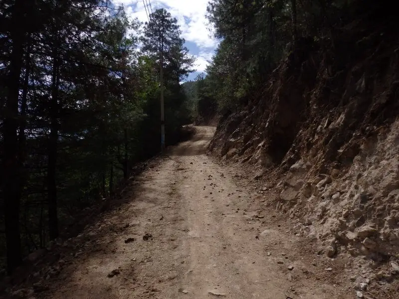
The ride down to the valley, though short, was nothing short of terrifying. The driver looked a little too casual for a steep drive down a road barely wide enough for the car, with no guard rails. Fortunately, there wasn’t any other traffic on the road, possible because we were a bit late to start on the trail too. At the lower parts of the road, the paved road disappeared, and all that remained for the car to traverse on was a rock strewn, pothole ridden dirt track, possibly due to rock fall from the steep mountain slopes towering above the road. The driver slowed the car to a crawl as he navigated around the potholes, small rocks, and huge boulders, while keeping away from the steep drop on the other side of the road.

Down the valley from Feilasi to Xidang, start of the trail into Yubeng. 
The ride was really bumpy, especially at the bottom of the gorge, where there wasn’t any proper road.
Xidang to Nanzhang Col
We made it (alive, fortunately) to Xidang, and began our slow hike. From Xidang (2,645m), it was a 1.1km ascent over a distance of 6.1km before a 500m descent over 3.3km to Upper Yubeng (and a further 170m descent across 1.6km to Lower Yubeng). For those intimidated by the hike, donkeys are available for hire throughout the route. Yubeng village and its surroundings can only be reached by foot or donkey from Xidang or Ninong village, which also explains why food and beverages are at a premium from here on. There are a couple of little stalls along the way to Nanzhang Col where you can get snacks (at a premium).

Donkeys available for hire. Didn’t ask for prices, but I reckon they wouldn’t come cheap. 
The long, lonesome road. 
Openings in the foliage provide excellent views (and much needed distraction from the fatigue). 
Tall trees along the tall order. 
After a couple of rest stops along the way (priced up food and drinks available), we arrived at this maze of prayer flags. 
Pressed on and soon the path cleared.
Nanzhang Col
There’s a little cluster of houses and shops at the highest point along the trail, at Nanzhang Col. With the air thinning and view breathtaking it wasn’t an ideal place to catch our breaths, and we were soon on our way.

Snow leopards and brown bears have been spotted in the area before, but I’m glad that this was the closest to anything wild we spotted. 
At Nanzheng Col, highest point of the trail (3,729m).

The (almost) top of the world feeling.
Nanzhang Col to Upper/ Lower Yubeng Village
Not long after, Yubeng Village comes into view, and it’s a pretty easy descent all the way.

Not long after passing Nanzheng Col, the descent to Upper Yubeng. 
Another turning point a fork stuck in the road.
Upper Yubeng Village
It would make sense to stay for a night at Upper Yubeng, visit the Glacier Lake the following day, before heading down to stay at Lower Yubeng, from which the Sacred Waterfall is easily accessible. But due to some mix-ups with the accommodation, we ended up heading to Lower Yubeng to seek accommodation for the night.

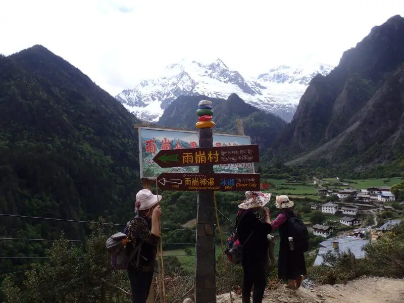
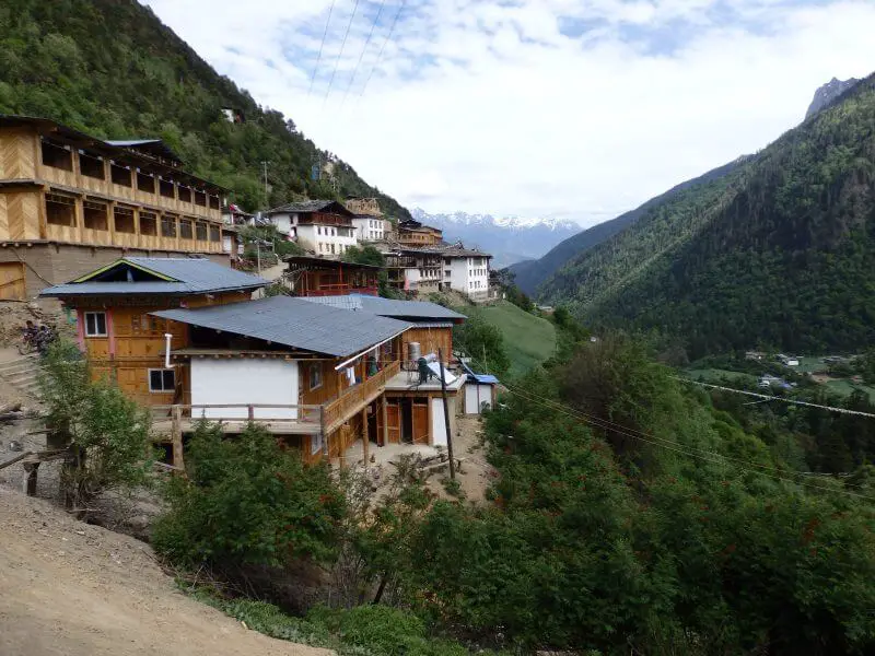
Picturesque village nestled amongst sacred grounds. 
Upper Yubeng (3,228m).
Lower Yubeng Village
We had called in and booked a night at one of the inns at Upper Yubeng, but upon arriving, found the place to be shut. The person whom I called was still contactable, and I think she mixed up the dates, as there was no staff around. So we went to Lower Yubeng village, where another traveler I met earlier had been the day before, and hopefully we’d be able to meet him. He had left by then (there wasn’t much reception in the mountains), and we were exhausted, so we checked into the guesthouse he had stayed in and gladly called it a day. We decided to spend the night at the last hostel at Lower Yubeng, closest to the exit to Ninong. Pretty comfortable beds, and working flushes. Had issues with the water though, it’s either freezing cold or boiling hot, but definitely better situation than no flush.

Lower Yubeng (3,054m). 
View from the hostel entrance.
Day 3: Yubeng Village to Glacier Lake
Despite the confusion over accommodation the previous night, we had a good sleep, and were blessed with great weather the next morning, another sunrise treat, this time deep within the mountains.

Opened the dorm door the next morning and saw this.
Upper Yubeng Village to Xiaonong/ Kawagebo/ Kawagarbo Base Camp
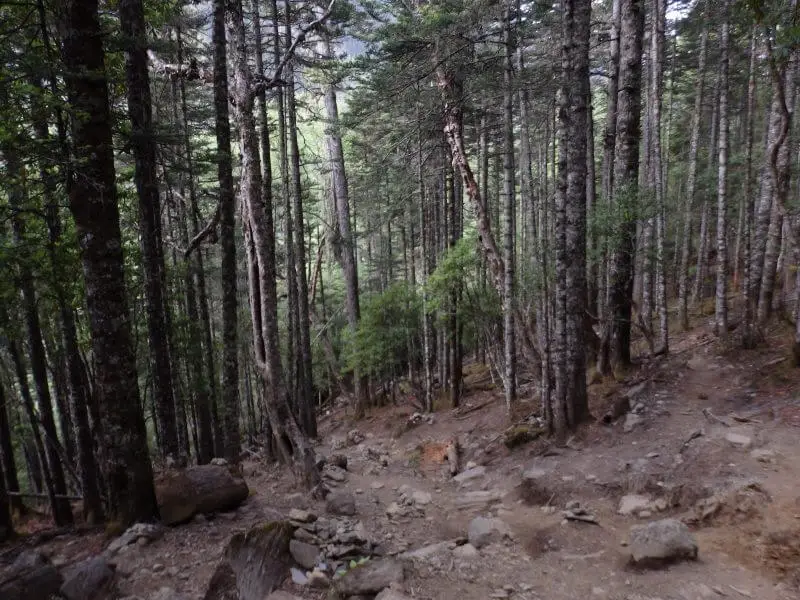
Not knowing how long the trip to the Glacier Lake would take, we started the day early, just to be safe. The hike wasn’t too dramatic or exciting, but the constantly evolving landscape through the mountains was enough to keep me sufficiently intrigued. As the forested section started, the green bins that line the path might seem like an eyesore at first but after some time they became the only sign that we were on the right track. Signage and demarcated paths were few and far between. As were any other humans.

To the Glacier Lake (1.6km to Upper Yubeng before another 5.8km to the Glacier Lake). 
Caged trees. Can you sense their desperation to escape? 
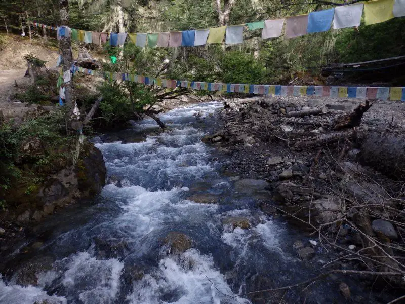
Little stream that originated from the Glacier Lake. 
Into the woods. 
The green bins that show the way. 
Had to get on all fours at some points. 
Wouldn’t be nice to slip. Thankful for the great weather. 
Sacred mountains.
After the steep ascent the trees cleared, and the snow capped peaks loomed right ahead. But first, a descent and through more forests.

At the top of the steep ascent.

No streaming at the stream. Phone connections mostly dead by now. 
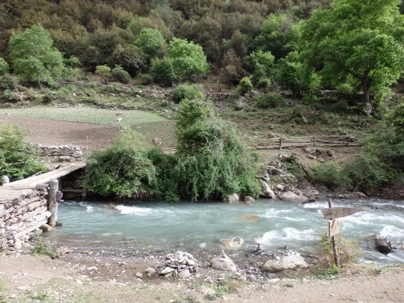
Wooden bridge.
Xiaonong/ Kawagebo/ Kawagarbo Base Camp
After a few hours the woods cleared and we arrived at Xiaonong Farm/ Kawagarbo (Kawagebo) Base Camp (3,608m), where ill fated expeditions to Kawagebo’s summit began. Probably the place where anyone last saw those who never returned.

Xiaonong Farm/ Kawagarbo Base Camp (3,608m).

Grazing yaks. 
Mostly deserted when we arrived. I think accommodation is available here in summer.
Xiaonong/ Kawagebo/ Kawagarbo Base Camp to Glacier Lake
Beyond the farm/ base camp, the short and final stretch to the Glacier Lake.

I could stay here all day if it never rained and if there was Wifi. 
Pristine streams and snow-capped peaks. 
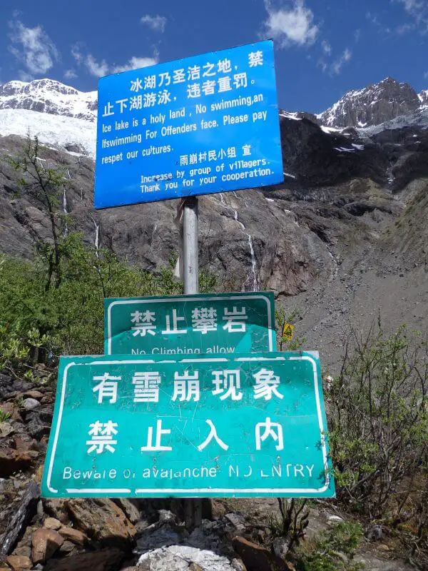
Avalanche warning.
Glacier Lake (Bing Hu)
Finally at the “Glacier Lake”! In quotes because 1, there was no ice, and 2, there was no huge body of water. As consolation, though, at least it was a pretty puddle. Also, at 3,864m, it’s the highest point of our 4 day hike.

Tempting to shout across the lake for the echo, but nope, not after that avalanche warning.
We rested for awhile here, surrounded by nature and good weather, had some snacks (kept our trash, of course), and enjoyed the amazing scenery, almost untouched yet still relatively accessible. The water felt really refreshing to touch, so I stole a few sips at the outflow of the “lake”. Feeling all refreshed and recharged, we started our hike back to Yubeng village.

The pretty puddle, from a little back.
Glacier Lake to Yubeng Village

Heading back towards Yubeng village. 
Not sure which mountain range those peaks belonged to, but it was breathtakingly set against the never ending fields. 
Wide open fields with stunning snow-capped peaks as the backdrop.
We arrived back at Upper Yubeng village early in the afternoon and had lunch at one of the stalls perched precariously along the ravine separating Upper and Lower Yubeng villages.

The ravine between Lower and Upper Yubeng. 
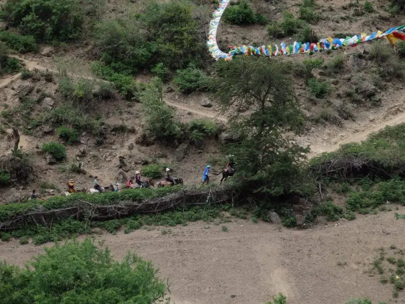
Donkeys bringing tourists up. Getting around the villages can be tiring without some fitness.
After lunch we went back to the hostel and had a good afternoon nap, waking up around dinner. The range of food options weren’t spectacular but we tried to make it as sinful as it can be. Nothing beats sinful food after a great hike.

Food at Yubeng is similar to that in the cities, just a little pricer due to the donkey joy ride these noodles took to arrive on our plates (or bowls). 
And similarly oily too.
During dinner the guesthouse restaurant was playing a documentary on the infamous Kawagebo/ Kawagarbo attempt in 1991 that ended in the death of the entire team of 17 following an avalanche. Guests at the restaurant seem entranced by the video, but it felt a little too close for comfort. There wasn’t much else to do as it was pitch dark outside, so we called it a day (or night). And that was day 2 of the hike.
Day 4: Yubeng Village to Sacred Waterfall
The sun rose early and so did we, to begin our final hike into the mountains. Today was our final full day here as we were to head back to Shangrila the next day. It was always nice walking around/ through the village, surrounded my mountains, forests, and farm animals. Rather than being caged, animals were mostly free to roam the villages. I wonder if they ever get lost.

Free range bacon. 
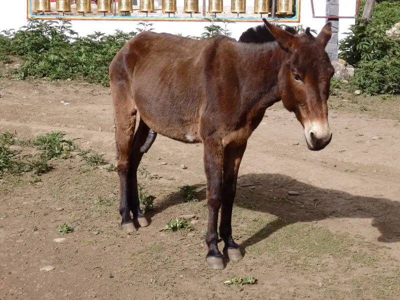
Took me awhile to remember why I took this picture. Then I could not unsee. Had more explicit ones but I didn’t want my blog to get flagged.
Lower Yubeng Village to Sacred Waterfall
Soon we were at the edge of Lower Yubeng village, to begin our hike to the Sacred Waterfall (5.4km from Lower Yubeng). There was some sort of TIbetan ritual ground just on the outskirts of the village. Along the way to the waterfall, there were tents set up as accommodation for more adventurous travelers. Not too sure about their conditions, but they appear to be decently furnished. After two days of great weather, the sun took a backseat on our third day. The snow-capped peaks were nowhere to be seen as they were covered in clouds and fog, and it started to drizzle a little. Still okay weather to hike in, and it gave the mountains and scenery a different feel and view.

Ritual grounds. 
Tent accommodation available between Lower Yubeng and the Sacred Waterfall, with decent looking beds inside. 
Cloud covered peaks.
Sacred Waterfall (Shen Pu)
The rain grew heavier as we approached the Sacred Waterfalls, and we took refuge at a shelter just before the final ascent to the waterfalls. The route was considerably more crowded than the trail we took the the Glacier Lake the previous day. Some Chinese men couldn’t wait for the rain to stop, so they stripped (to keep their clothes dry) and made a dash for the top. Not really recommended with the temperatures and chilly wind. Anyway, the rain lightened a little not long after and we continued our hike.

Incense burner. 
Another sort of Incense burner.
Finally arrived at the Sacred Waterfall, a shower of water that seemed to have descended from the heavens. It was freezing cold after the rain and wind yet Chinese men were stripping to their undies and running into the falls. Must have been inspired by Chairman Mao’s swim.

The Sacred Waterfall (3,657m at the bottom). 
Another one I could not unsee after zooming in. Here’s one in red undies. 
The Sacred Waterfall, slightly further away.
Sacred Waterfall to Yubeng Village
The weather still wasn’t too appealing, so we didn’t hang around too long, and started our hike back to Lower Yubeng village.

Prayer flags lining the path. 
Weather starting to clear up. 
More ritual grounds.
Warm food never felt better. And changing into warm clean clothes. And the following afternoon nap on the clean, warm, and dry bed. The hike probably took about half a day or so, and the rest of the day was spent lazing around, in between naps and snacks, reading the book I had with me, and listening to music. Ah, life in the cold windy mountains, with no Wi-Fi.

Donkeys bringing in supplies. 
Afternoon nap.
Day 5: Yubeng back to Shangri-la
Yubeng Village to Ninong
The last day in Yubeng was a little tighter, as we had to hike out to Ninong in time to catch the transport to Deqin, which in turn had to be in time for us to catch the bus back to Shangri-la. The last bus was early in the afternoon, so we had to get hustling. The trail to Ninong, like the one from Xidang, was narrow and impassable to vehicles. Although I’m quite sure I saw a motorbike in Yubeng. But back to the point, the path had to be shared with passing animals, or sometimes we’d just have to wait while they’re having their fun.

Horsing around. 
Farms on the way out of Yubeng to Ninong. 
Peakaboo. 
Reminds me of The Good Dinosaur. 
These waters can take all your troubles away. Now I know where all the Chinese calligraphy masters get their waterfall/ mountain inspirations from. 
Right on point.
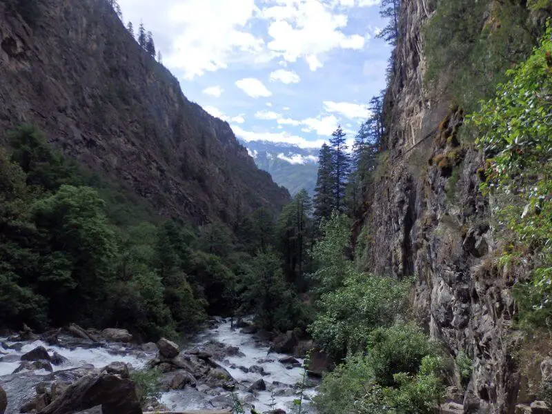
Scenery between Yubeng and Ninong wasn’t as spectacular as the scenery between Xidang and Yubeng, but it was nonetheless interesting, and still very much precarious (or probably more). Narrow paths were flanked by steep mountain slopes on one side and the plunging ravine on the other side, which dropped lower and lower as the trail went on, till it was probably over a hundred meters below. Any rockfall/ tectonic activity/ a moment of carelessness would likely mean an unescapable death.

The narrow, winding path out. 
Very, very steep. 
The little ledge on the right, less than a metre wide, is where the walking path is. 
Your grandfather’s road.
Ninong
As we exited the mountains the vast Lancang river valley greeted us, the view a little destroyed by ongoing construction. Then again, without all the construction work building the highways, I would not have been able to get in in the first place. We kept walking until the trail ended, then realised we shouldn’t have gotten that far, as the entire village was deserted. We likely missed an earlier sign to exit at the parking lot. Our joy at completing the 4 day hiking trip almost turned into desperation as we couldn’t find anyone to ask for directions from. Fortunately we found a kind old lady in the end who offered desperately need directions to the pickup point for transport to Deqin county. We also bought some much needed overpriced soft drinks from her, but we were glad to pay the premium.
There weren’t other hikers out yet, so we decided to have lunch while waiting to see if we could share a vehicle with other hikers to Deqin county. Transport, similar to the one from Feilaisi to Xidang, was charged by per vehicle, on 4 wheel drives.

We overshot the trail a little and ended up at a deserted part of Ninong, was supposed to exit at the carpark where vans/4wd cars wait. 
Lunch while waiting for other hikers to share the transport with. Charges are similarly by vehicle.
Ninong to Deqin
Similar to the car rides from Feilaisi to Xidang, the rides from Ninong to Deqin were charged by per car. These were the prices from Ninong as of May 2015 (selected few shown), likely to have increased since:
- Feilaisi: 190Y
- Deqin: 160Y
- Xidang: 200Y
- Mingyong: 260Y
- Shangri-La: 700Y
- Lijiang: 1100Y

Prices on May 2015.
It seemed like a slow day for hiking, as we only managed to join up with one more guy heading out despite waiting for an hour or so. We had to leave by then, in order to catch the bus back to Shangri-la. It appeared that our final challenge for us lay ahead, staying alive on the car ride out of the valley.

The narrow sandy road vehicles take to leave the valley. Its two-way, by the way. 
Safely out! From Deqin Bus Station, we took a bus back to Shangri-La.
Deqin to Shangri-La
We arrived at Deqin bus station with just enough time to to get on the bus to Shangri-La. Only a few trips available daily, and ends quite early. (I think 1 or 2 pm). Got our tickets from the upper floor, got on the bus, on our way back to civilisation.

Grass plains on the highway back to Shangrila.
It was around the evening by the time we arrived, and public buses appeared to have stopped, so we took a cab back to the old city, where our hostel was. I was probably too tired, as I can’t remember what we had for dinner, if we had any at all.

Back at the Shangrila hostel. Someone left his/ her chainsaw behind, under my bed.
Day 6: From Shangri-La back to Lijiang
Before our side trip to Yubeng, we had spent a few days in Shangri-la, and there was this restaurant run by a friendly Tibetan guy that we really liked. Being back in Shangri-la, we couldn’t help but be back again, for our last chance to meet the friendly old man and try some of his exotic dishes.

Fried yak meat. 
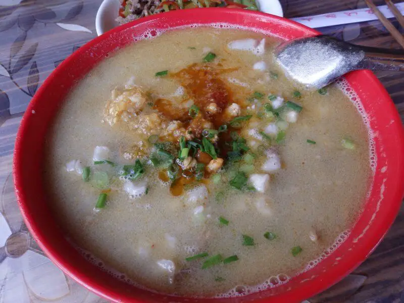
And some exotic porridge. 
At our favourite restaurant.
His restaurant can be found just not too far from the Moonlight Square (Yue Guang Guang Chang). The bus (according to schedules I found online) indicated that the bus to Panzhihua, where we were to transfer to the bus to Chengdu (our next stop and my friend’s final stop in China), was to leave in the afternoon, so we chilled at the hostel. Great time for a break too, as we were still tired from the 4 day hike.

Rained a little before we left.
Finally leaving Yunnan, but not before more hiccups
When we got to the bus station, we found out that the bus schedule had changed and we missed the bus for the day to Panzhihua. Hiccups like that seem inevitable when travelling slightly off the beaten track, such as the miscommunication over accommodation at Yubeng just a few days back. Despite having known that stuff might not go according to plan, it was a little stressful not having anywhere we could get information from and not knowing what to do, but in the end I decided to take a chance and head back to Lijiang, which was between Shangri-La and Chengdu, and hopefully be able to find something to get us to Chengdu there.

Left Shangrila happily looking forward to being back in city life (Chengdu), but (slight) trouble awaited at the bus station.
Turns out there was a daily bus from Lijiang to Chengdu, which we had missed by the time we arrived. Stayed at night at Lijiang, where we had been before making the trip to Shangri-la and Yubeng, before taking the full day (24hr, no less) bus ride to Chengdu. In all, we arrived in Chengdu a day later than planned, but all else were well, and it wasn’t going to dampen our spirits from having completed a stunning 4 day hike through the mountains! The detour from Lijiang to Shangrila and Yubeng, then back to Shangrila and Lijiang, was worth it, and the adventures continue in Chengdu.




































![[Singapore] Cross Island Day Hike from Gardens by the Bay to Woodlands Waterfront - The Wrong Coast to Coast Trail cross-singapoe-hike-800×500-PIL](https://aaronteoh.com/wp-content/uploads/2021/08/cross-singapoe-hike-800x500-PIL-150x150.jpg)
Nice account! I have been to Yunnan twice, but not to the Tibetan part. The Tibetan parts of Gansu and Sichuan were my first taste of Tibet, before actually going there. It’s really like stepping into another world! Brought back memories looking at your pics too. Thanks
Yup I agree, the Tibetan parts of China feel like a different place. The regions further up North/ West seem less accessible but I think worth the effort to experience totally different cultures and landscapes. Glad you liked the pictures!
What an amazing adventures. These sights are incredible! Great pictures and loved to read this! We have to put this hike on our to-do list 🙂
It was a breathtaking hike! Never thought I’d be able to see such sights from a 3 day self organised trip without much hiking experience. Glad you enjoyed the post 🙂
What a great record of a trip many dream of, myself one of them, hopefully in Nov 2017. Do you remember how much time the hike from Xidang to Yubeng was ? cheers, Jess
Hi Jess, sorry for the late reply, I’m currently on the road. I can’t remember exactly how long but I’m sure I’ll be able to give you the information by checking the timestamps on my photographs when I get back home in about 2 weeks. Glad you enjoyed the write up, and I hope you’ll get to experience it too 🙂
Hey Jess,
I just got back and checked, we took about 5.5 hours to get from Xidang to Upper Yubeng. Please let me know how your trip goes, and if you need any other information!
Regards,
Aaron
Hey Aaron, I’m looking to emulate your trip to Yubeng, but during Spring Festival next month (weather permitting, let’s see how far I get!).
Anyhow, which hostel or hotel did you stay at in Feilaisi?
Also, how long did it take for you to hike between Upper Yubeng and Ninong? I’m hoping to do Yubeng-Ninong-Deqin-Shangri-la on the penultimate day of my trip, but I don’t want to miss that Deqin-Shangri-la coach.
Hi Cassius!
I can’t remember the name of the but I found a picture of the hostel I stayed in at Feilaisi (link). Toilets definitely weren’t looking in good shape when I was there.
From Upper Yubeng it’s about an hour to Lower Yubeng, and from Lower Yubeng we took about 4.5 hours for a slow walk out. You should be able to catch the bus, assuming schedules are the same.
Hope you’ll have good weather and a great time, cheers!
Pingback: Planning a trip along the Ancient Tea Horse Road - Red Tuk Tuk
Hi! How was the weather during your trip? We are planning to hike from June 1-4 and I’m worried about the rainy season catching us.
Thanks!
Hi Robyn, the weather was mostly cloudy during our trip, with a day of rain. I think there might be some showers during that period but it shouldn’t be too heavy. Just be prepared for it and you should be fine 🙂
Hello Aaron, when did you visit Yubeng? Do you recommend if I visit during late December?
Hi Jessie, I went to Yubeng around late May in 2015. I think winter is not that ideal for hiking in Yubeng as it will be cold and potentially slippery. I had a friend who visited Yubeng in early November and decided to cut short his hike as the weather conditions were too miserable. Day trip options may be limited, but it can be a special time to visit too, depending on your experience and what you are hoping to see. Kristin at Be My Travel Muse has a first hand winter experience at Yubeng, you might be able to get an idea if you’ll enjoy it in winter from her experience: https://www.bemytravelmuse.com/hiking-yubeng-china/
Hi Aaron, do you think its necessary to have guide for the trek or perfectly fine to do it without ? I’m planning to go in Mid October, just a bit afraid that we won’t be able to get accom in the mountains as it is also very close to the golden week in China.
Hi Jia Hui, apologies for the late reply, I had missed your message. I think it should be fine going without a guide, as long as you have sufficient preparation and stay on the main trail. There have been reports of people wandering off course, getting lost and disoriented, and then falling to their deaths when it got dark, so there is some danger, but by ensuring there’s sufficient daylight hours and keeping to the trail you should be fine. Regarding Golden Week, I strongly recommend booking your accommodation in advance as most tourist spots in China (even those in the mountains) get very full. I was not there during Golden Week so I can’t say for sure if Yubeng will be the same too, but from friends who had been there recently it seems Yubeng is getting more popular over time. Cheers!
Hi Aaron, thanks for sharing your trip! I was wondering if there are any spots to camp, or if camping is allowed at all during the hike?
Hi Haziq, I don’t think camping is allowed in the area. From my impression camping isn’t common in China and isn’t allowed at most of these places, but you may want to cross check this with other sources. Cheers!
Another very detailed account experience! Similarly my trip to Yading in November 2019 was inspired by this Yubeng adventure i made in late October 2017. Went to Yubeng by chance, i did not even know where Yunnan was before the trip. However, since then, this region has captured my heart and led to the Yading trip.
Still recalled the day we spent about 8 hours trekking from Xidang to Upper Yubeng Village. It was drizzling all day long. Wet weather along with shortness of breath due to high altitude. Nothing beat a hot pot (albeit price was a bit steep) after the long hike.
The journey to Glacier Lake was a strenuous one during late autumn. Heavy snow the day before turned mountain trail slippery. There were few times i almost fell off several cliffs due to heavy snow (I was in hiking shoe with hiking stick, but a pair of ice gripper is necessary under such weather). I was indeed fortunate to back in one piece. I’ve heard story of hikers challenge the trail in winter, but amateur hikers are strongly advised not to do so.
Yes, agreed that this region is not as well known as the other tourist spots in China. Wow it sounds dangerous with snow. I’ve heard accounts of people falling off cliffs due to getting lost and disoriented after dark, but snow seems to be a real danger too. Glad you’re fine!