The first 5 days of our 3 week Tasmaina road trip in December 2022, journey from Hobart up north and along the east coast.
I was really excited for what was to be my first multi-day hike since covid, first month long trip since starting work, first campervan trip ever and my first trip together with my partner. We had some hiccups along the way but I think it turned out really well overall. Previously I’ve posted on the first part of our trip, the Three Capes Track. Just a day after that, we picked up our campervan and set off for our 3.5 week lap around Tasmania, starting from the east coast. For a 6 min summary of our Tasmanian east coast adventure, check out this video! For the rest of the details, read on 🙂
Tasmania East Coast Road Trip Itinerary Overview
We intentionally spread our itinerary out as we had 3.5 weeks on the road and wanted to ensure we didn’t have to rush through the major attractions. Here’s roughly 5 days on the east coast but it certainly can be done in less time. I’d say about 40-50% of the itinerary was set prior to setting off and the rest decided along the way.
- Day 1
- Pick up van at Mornington (near Hobart)
- Richmond (gaol, old town, bridge, church)
- Sorell (grocery and lunch stop)
- Fortescue Bay
- Day 2
- Eaglehawk Neck (Tasman Arch, Devils Kitchen, Fossil Bay)
- Tessellated Pavement
- Pirates Bay Lookout
- Sorell
- Mayfield Bay Camping Area
- Day 3
- Three Arch Bridge
- Spiky Bridge
- Spiky Beach
- Kate’s Berry Farm
- Devil’s Corner
- Friendly Beaches
- Freycinet Marine Farm
- BIG4 Iluka on Freycinet Holiday Park
- Honeymoon Bay
- Sleepy Bay
- Cape Tourville Lighthouse
- Day 4
- Wineglass Bay Lookout
- Bicheno Blowhole
- Chain of Lagoons/ Lagoon Beach Campground
- Day 5
- Peron Dunes
- St Helens
- Binalong Bay
- The Gardens (Bay of Fires)
- Swimcart Beach
Day 1
After months of planning and fresh off the Three Capes Track, it was time for our lap around Tasmania!
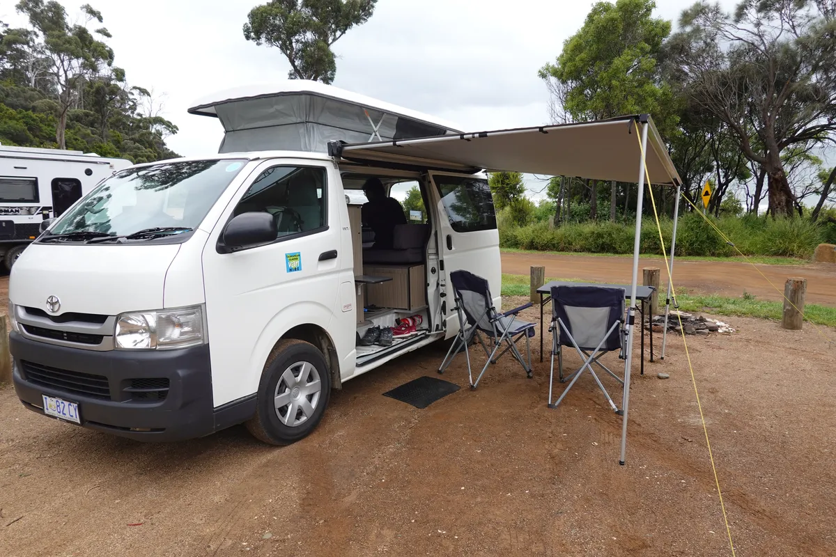
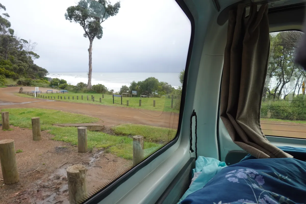
Picking up our home for the next 3 weeks
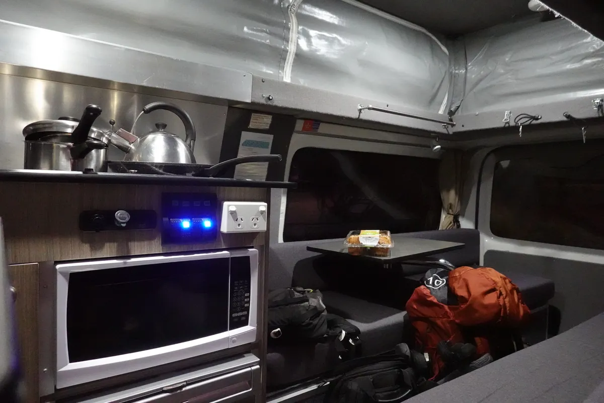
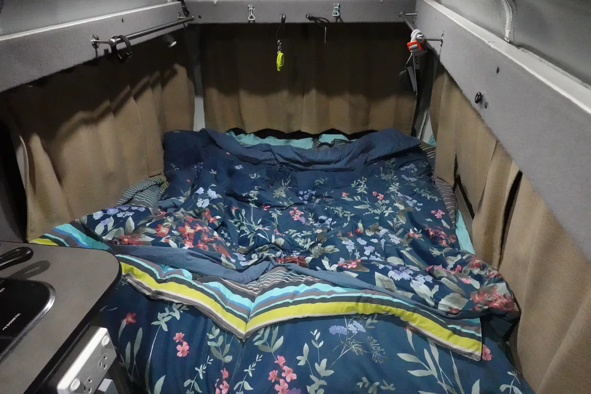
We booked a 2 berth campervan from Tascamper and I can’t recommend it enough. Peter was really helpful throughout, and his vans were perfect for our 2 person adventure. Lots of thoughtful touches throughout the van that showed Peter’s experience, expertise and care for his customers. It wasn’t luxurious, but definitely comfortable and cozy. Won’t go much into the details in this post but let me know if you’d like more details about our campervan experience specifically.
We took a short Uber ride out of Hobart to Peter’s workshop at Mornington. Peter and his dog gave us a warm welcome on that cold December morning. He provided us with a detailed walkthrough on the modified Toyota Hiace as a vehicle and as a home, as well as all the nifty features he had added to make the stay as comfortable as possible. We sorted out some administrative matters and payment and were soon out through the drizzle and on our way to Richmond.
Richmond Road
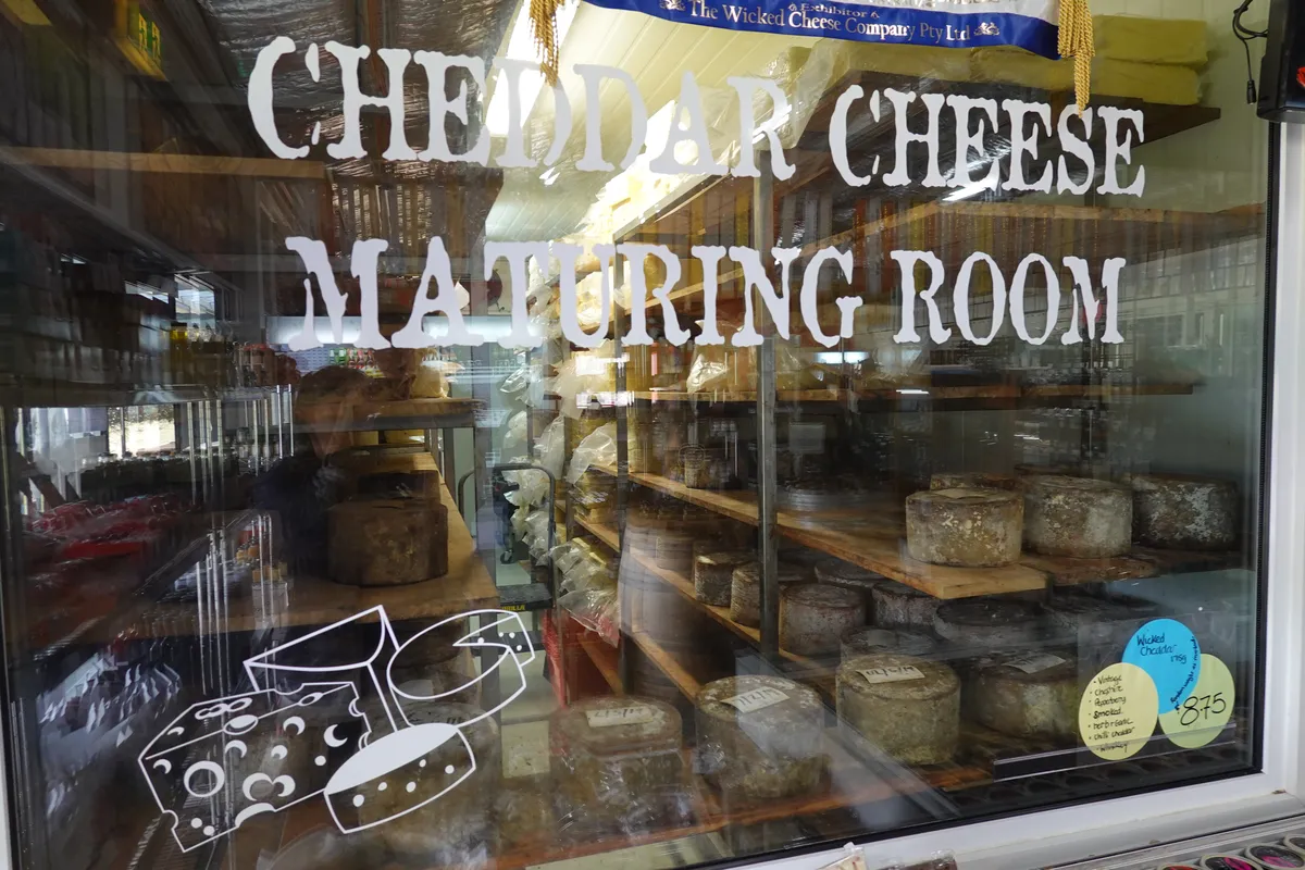
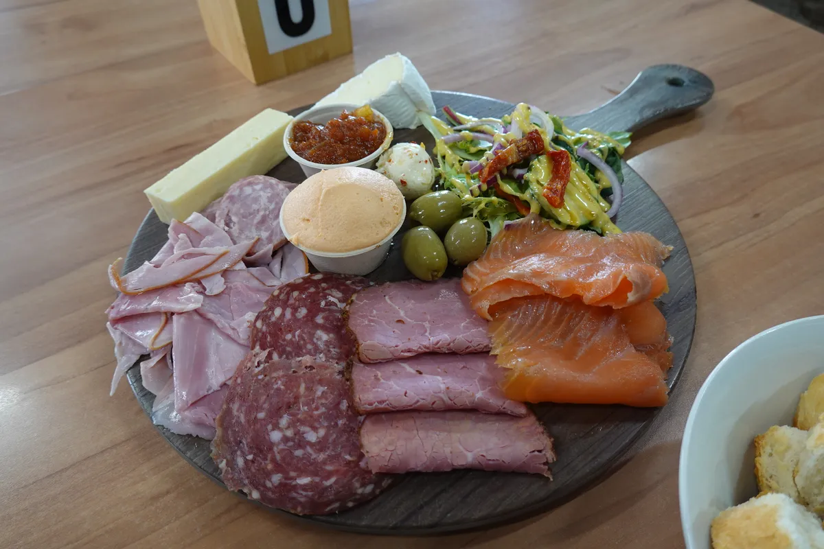
Richmond Road follows the Coal River up to Richmond. Along the route, there are a couple of farms and restaurants selling local produce. Coal River Farm was full when we arrived, so we moved along to Wicked Cheese, where we had a cheese platter and hot chocolate to warm up a little. Eye-opening flavours, and just a teaser of what Tasmania had to offer.
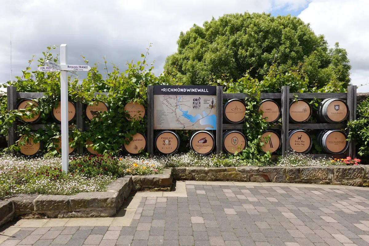
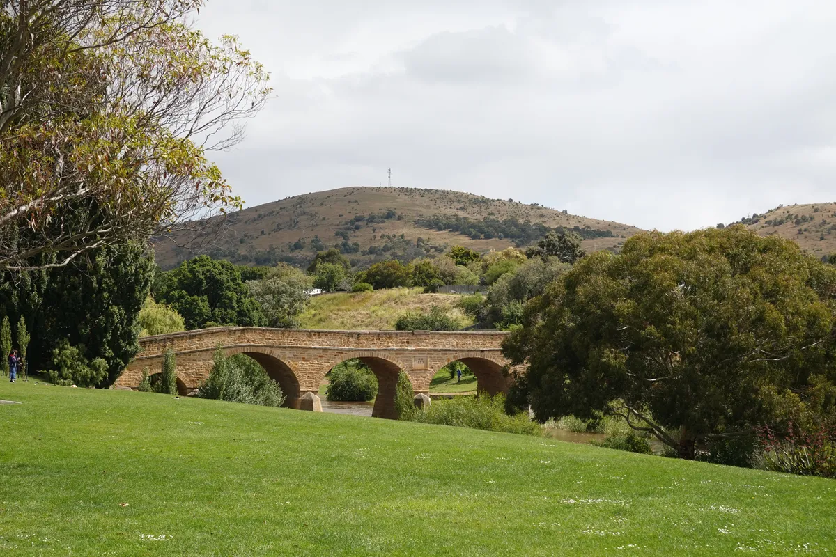
Richmond
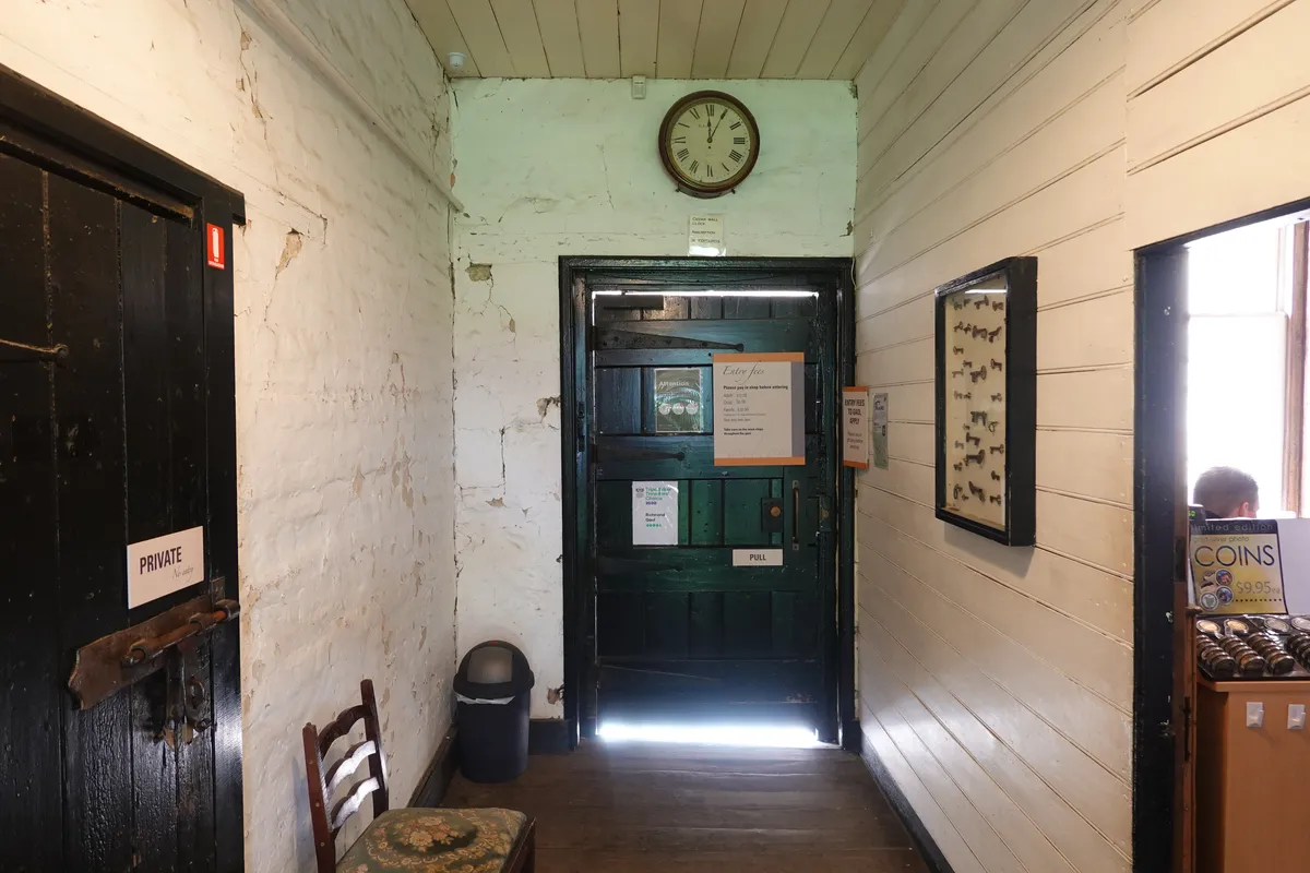
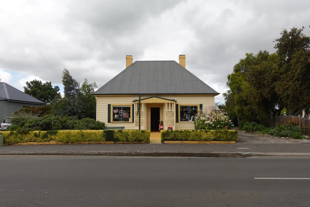
Richmond is a small historic town with a couple of landmarks built by convict labour almost two centuries ago. Walking through Bridge Street felt like stepping back through time. There were a couple of attractions to visit if you have some time, such as the Richmond Gaol, the Pooseum and the miniature Old Hobart Town, but we skipped those and just checked out some craft shops and soaked in the ambience.
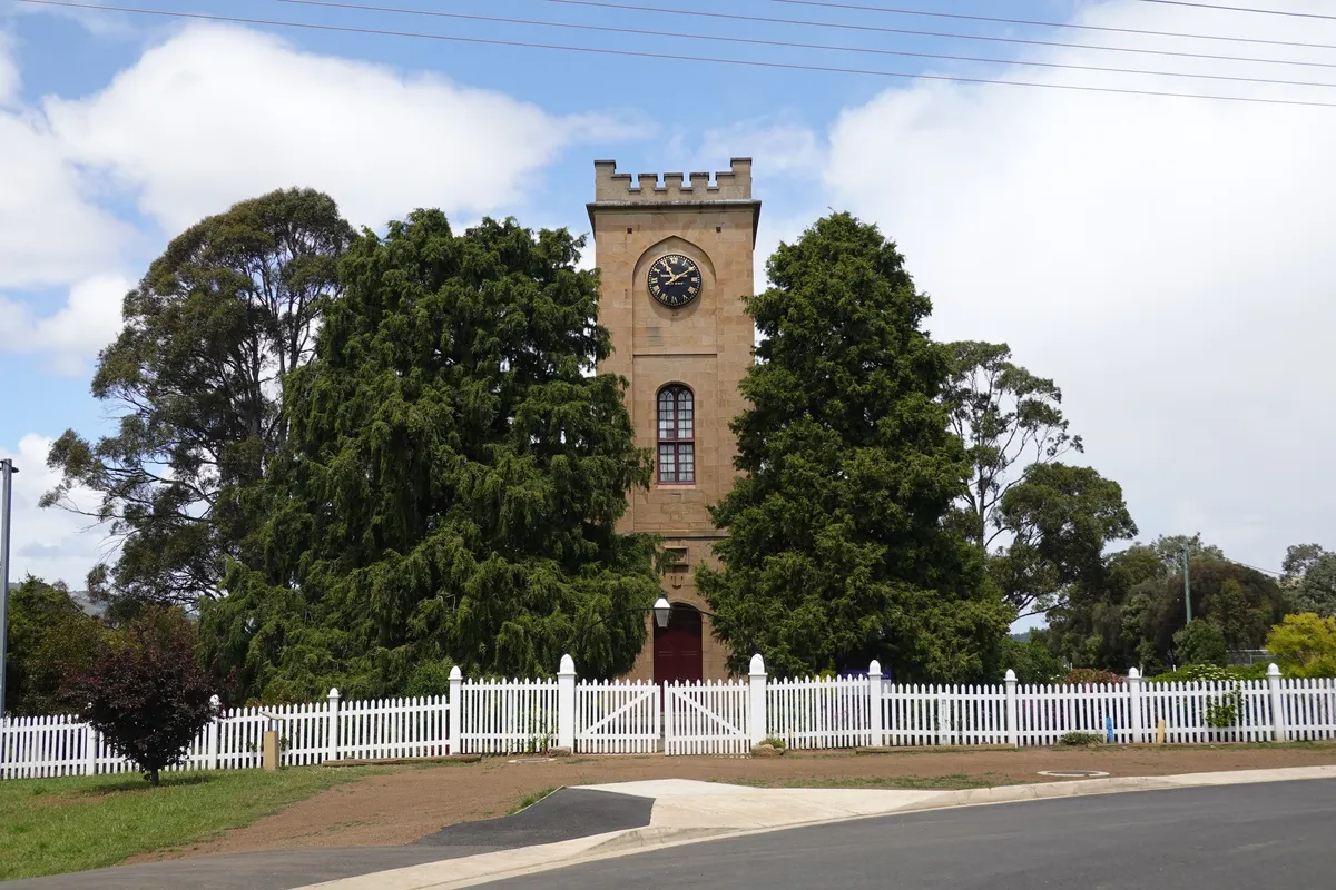
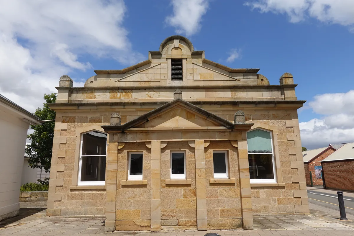
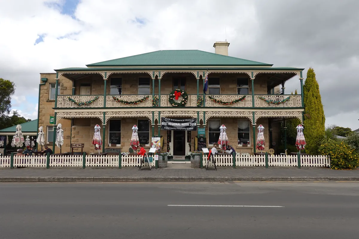
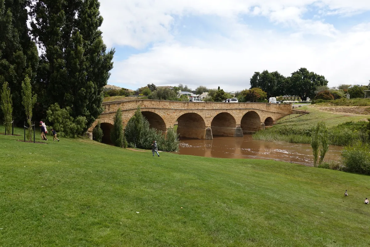
The western end of Bridge Street leads to the historic Richmond Bridge, the oldest stone span bridge in Australia (1825), still carrying vehicular traffic today. We stopped by Richmond Bridge Park for a better view and to enjoy the nice green lawn along the banks of the Coal River.
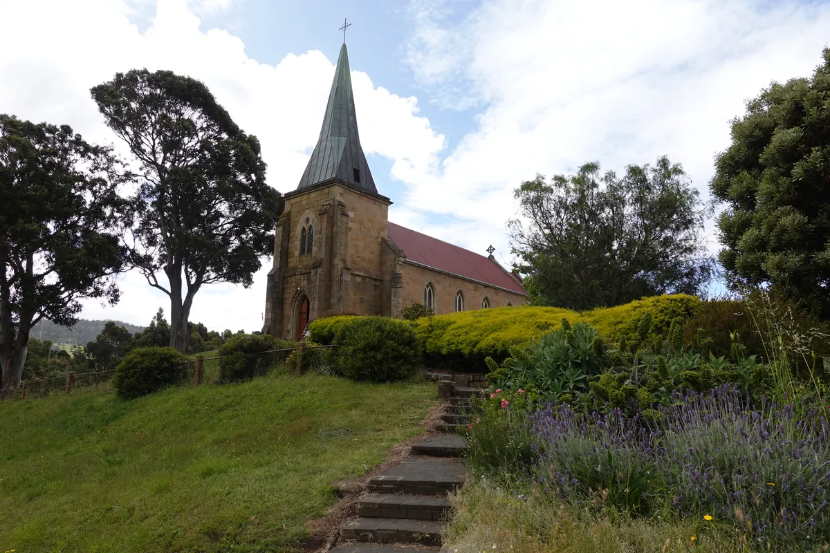
Just a few minutes walk away is the St John’s Church and Cemetery, the oldest functioning Catholic church in Australia. There’s some information about the church through its formation and early days, and piecing together the stories behind the different places across Tasmania is pretty fascinating (while tedious and mind-numbing at the same time).

On the way to Fortescue Bay
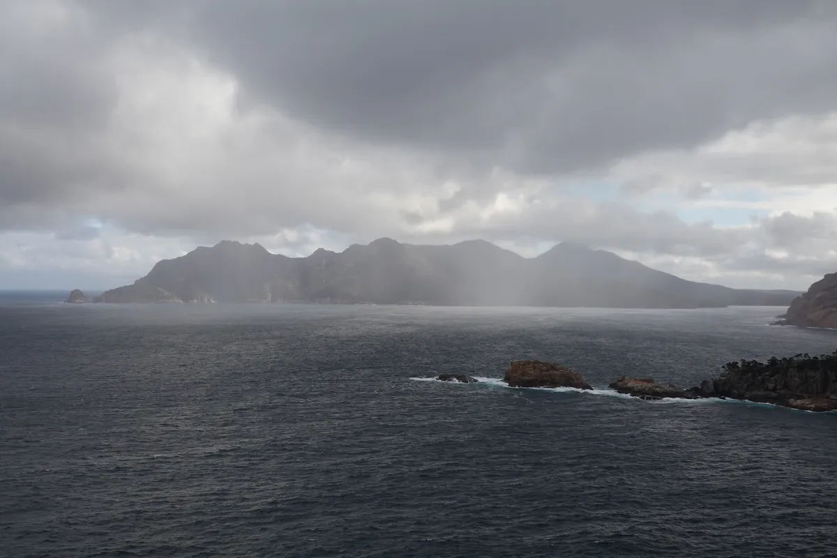
We stopped by Sorell on the way to Fortescue Bay to get some groceries. The drive from Sorell to Fortescue Bay felt like a long way, probably partially because it was our first day on the road. Nonetheless, the ever changing scenery, from the rolling hills to the coastal views, kept us awake across Arthur Highway. We crossed Eaglehawk Neck, where things were starting to feel a little familiar as we had just passed the day before. A few turns later, the paved road ended and our introduction to off-road driving began. Thankfully (or not), we arrived later in the day when traffic was not heavy. We took our time navigating the potholes but never got comfortable on Fortescue Bay Road, as the bumps on the road gave a good bum rub.
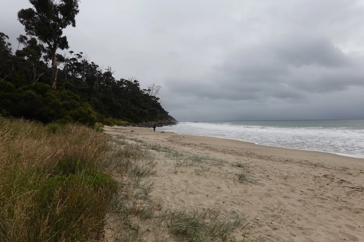
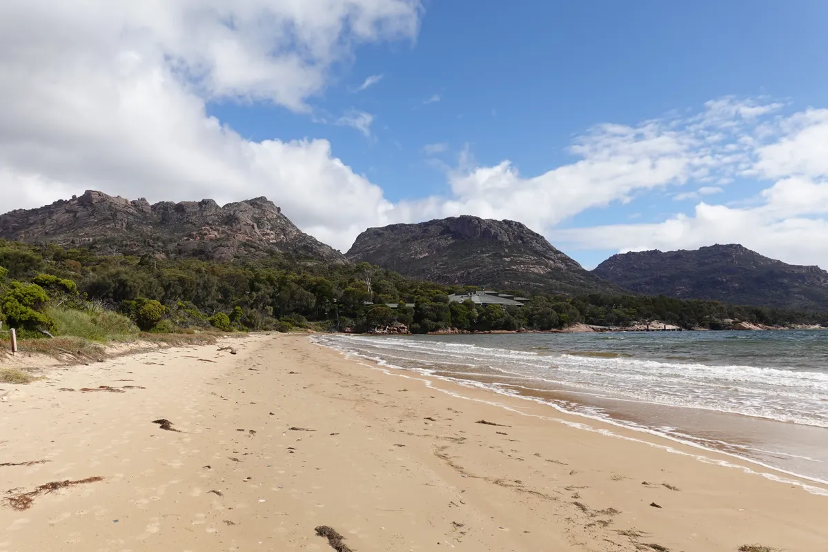
Fortescue Bay
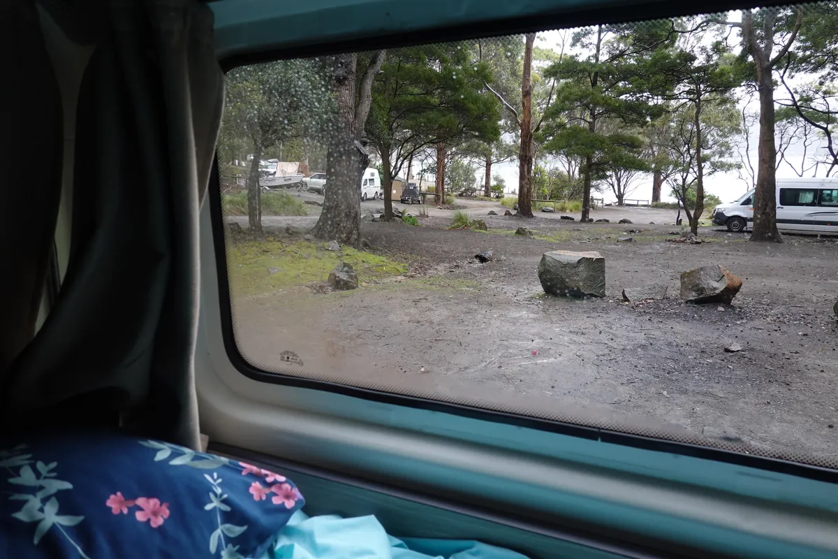
The office had closed for the day by the time we arrived at the campground, so we followed the instructions for self-payment at the booth and found a clipboard indicating the allocated campsite that we had booked awhile back. Getting to the site was another adventure as the roads got rougher and steeper as we headed into the campsites. There appears to have been some miscommunication as our allocated site was taken and the person at the site was sure they were assigned to it. Fortunately, there was an empty campsite in the next lot so we decided to just use it.
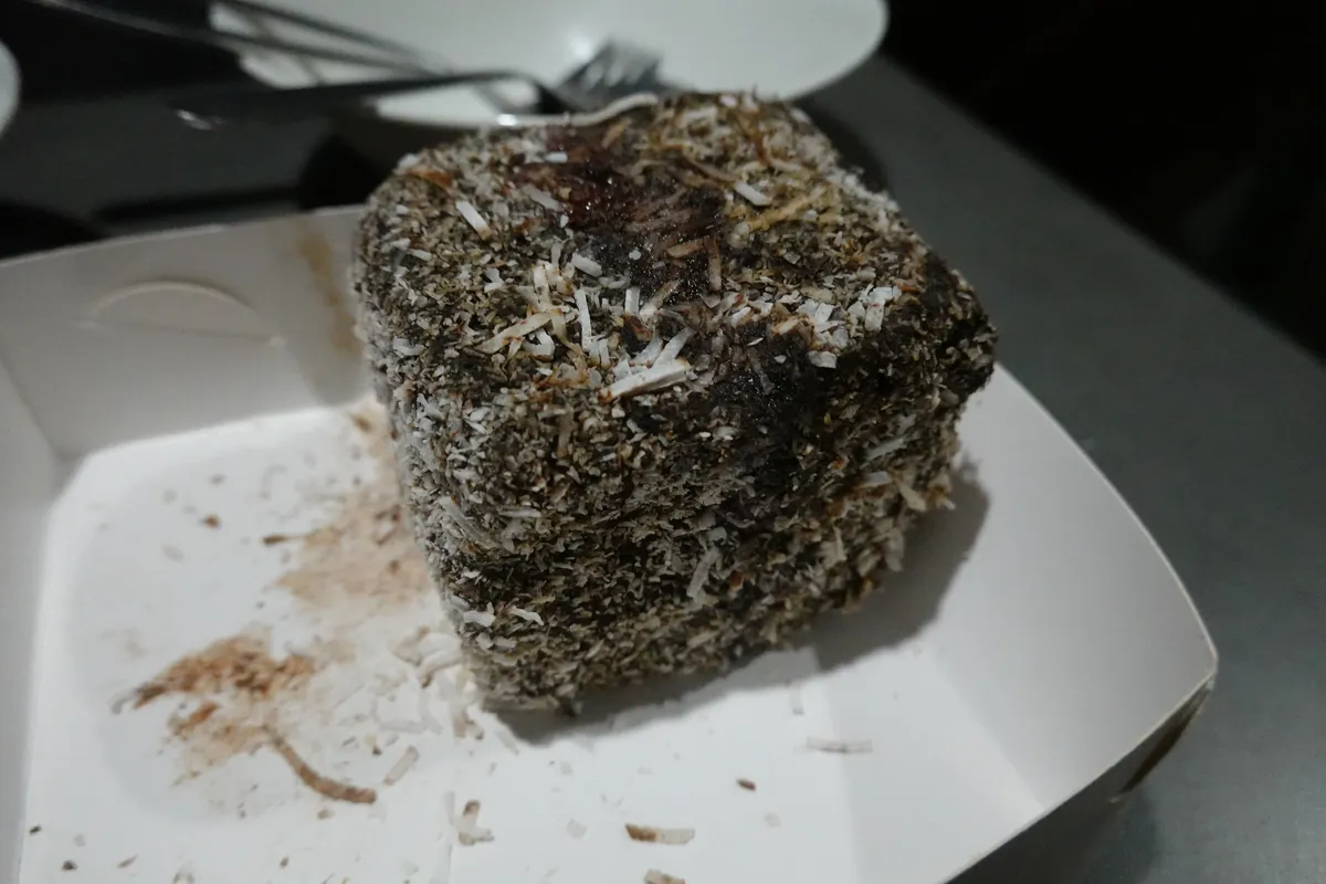
Getting the van parked was challenging too, and it felt like the van was going to tip over at times with the tight and steep manoeuvres. Thankfully, we got into the lot intact. One rookie mistake we made was not checking that the van was on level ground or sloping the right way when we stopped, and the water in the sink was not able to flow out well. Nonetheless, we completed our first day of driving safely and made it to our campsite. Definitely an achievement in itself. We enjoyed sunset by the beach, made our first dinner on the van, and rounded up the day with a Lamington we got from Hobart.
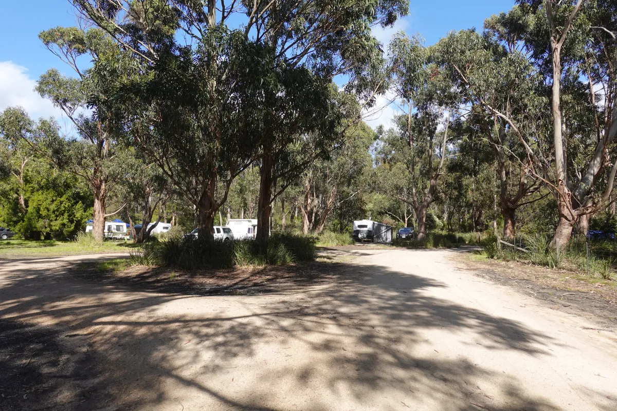
Fortescue Bay Campground
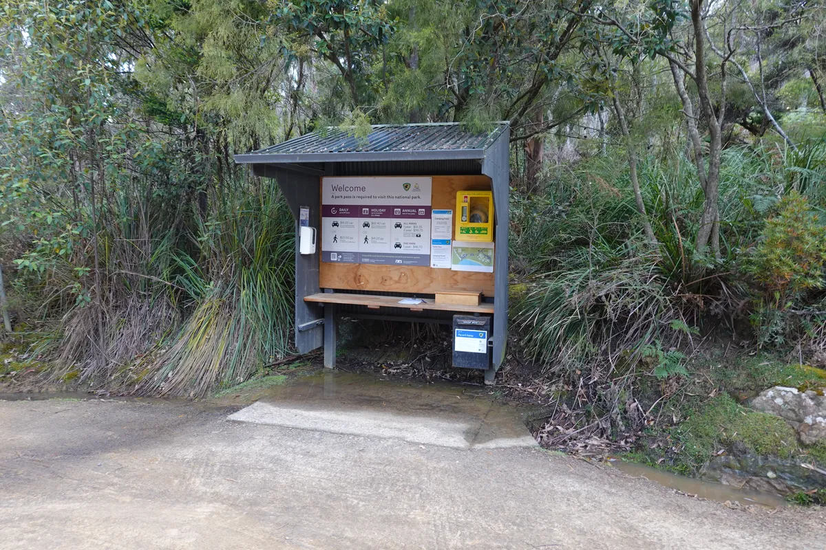
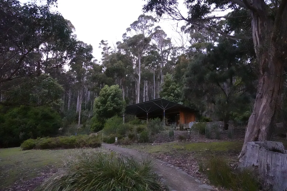
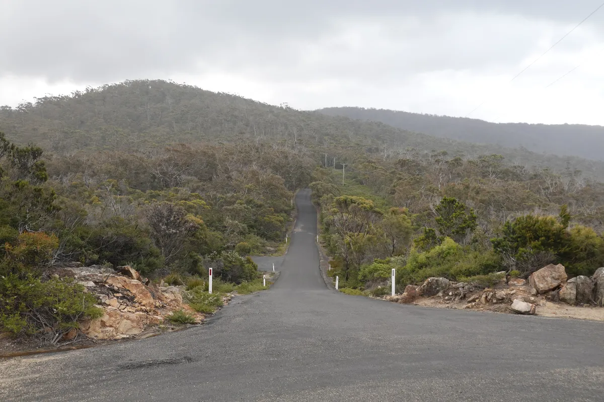
Fortescue Bay offers tent and caravan sites and appears to be a popular destination. There’s Banksia campground for tents and Mill Creek campground for campvervans and motorhomes. It was the end point of the Three Capes Track so we were just there the day before, but we didn’t had a close look then. The site is managed by Tasmania Parks and Wildlife Service. Parks passes are required and bookings are recommended. All sites were unpowered, toilets are available, and you’d have to bring almost everything else in as there are no amenities and shops here/ nearby. It’s a great base for hikes in Tasman National Park. For tourists, one thing to check before visiting Fortescue Bay is to check if your vehicle rental allows traveling on unpaved roads, as the only route in has a relatively long unpaved section.
Day 2
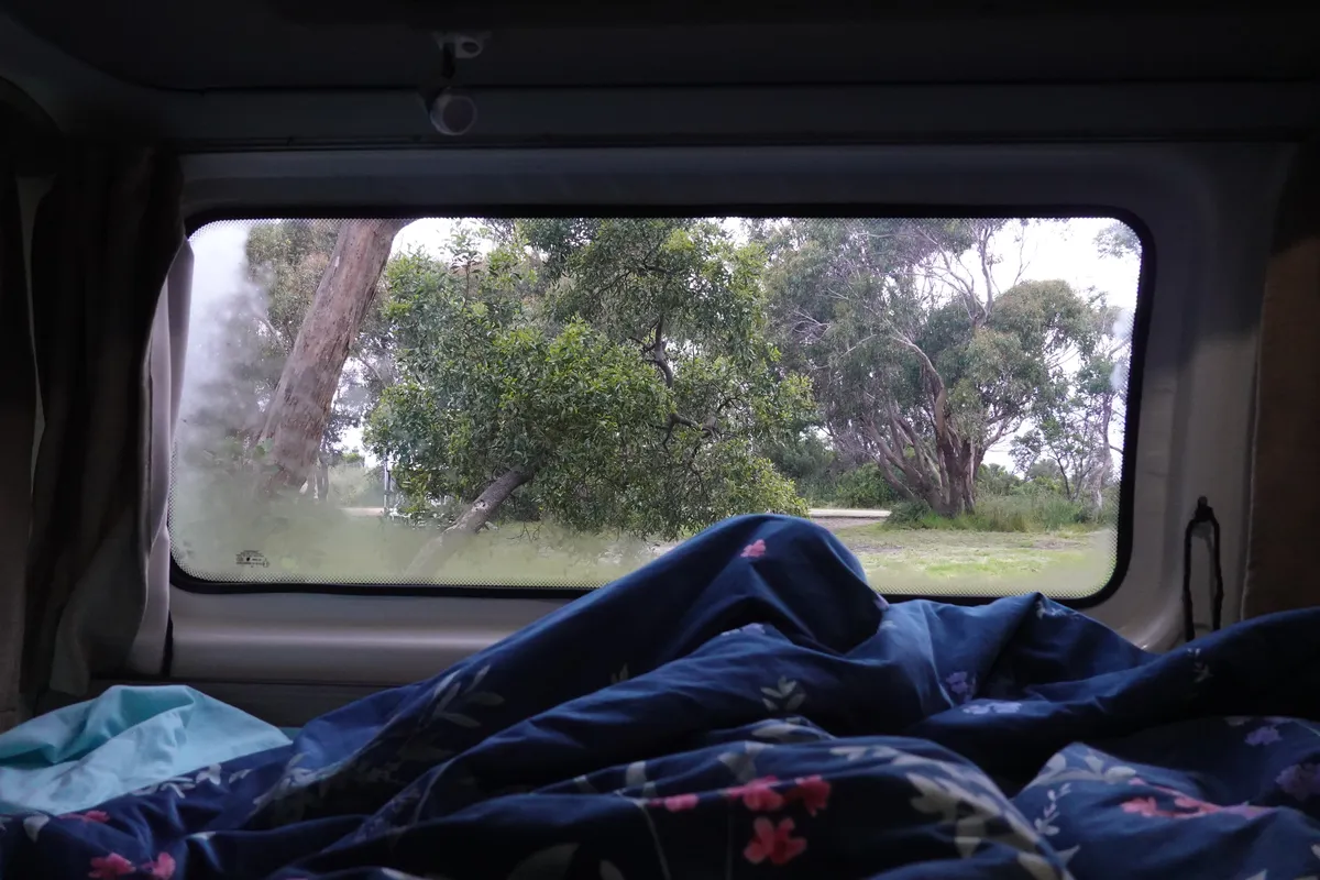
Our first morning waking up in the campervan felt like a dream. Surrounded by trees and the sound of birds from all directions. Straining a little we could even hear the sound of the sea, gentle waves lapping on the shore. Wallabys were out and about, and they didn’t seem to mind humans much. Looks like there were many early risers, as the campground appeared much less crowded than it was when we went to bed. Might have been nice to stay a day or 2 more, but more adventures awaited on day 2.
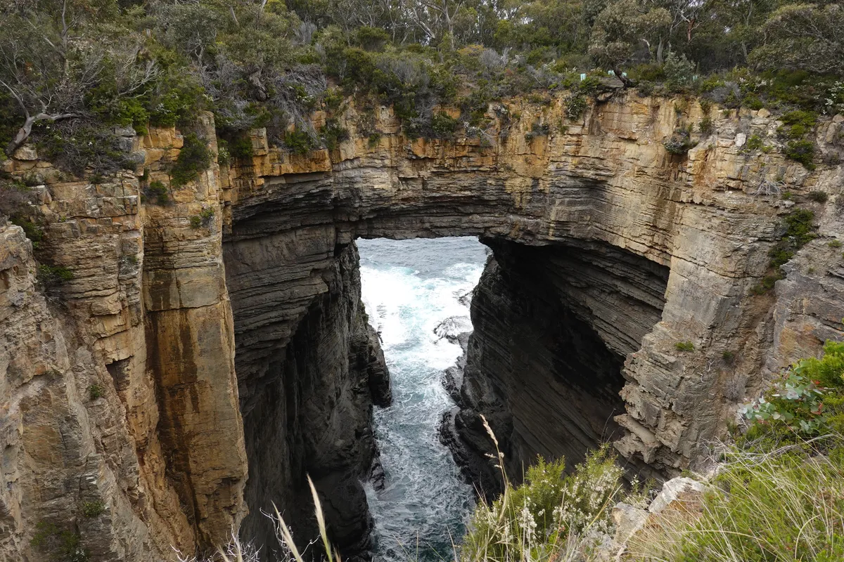
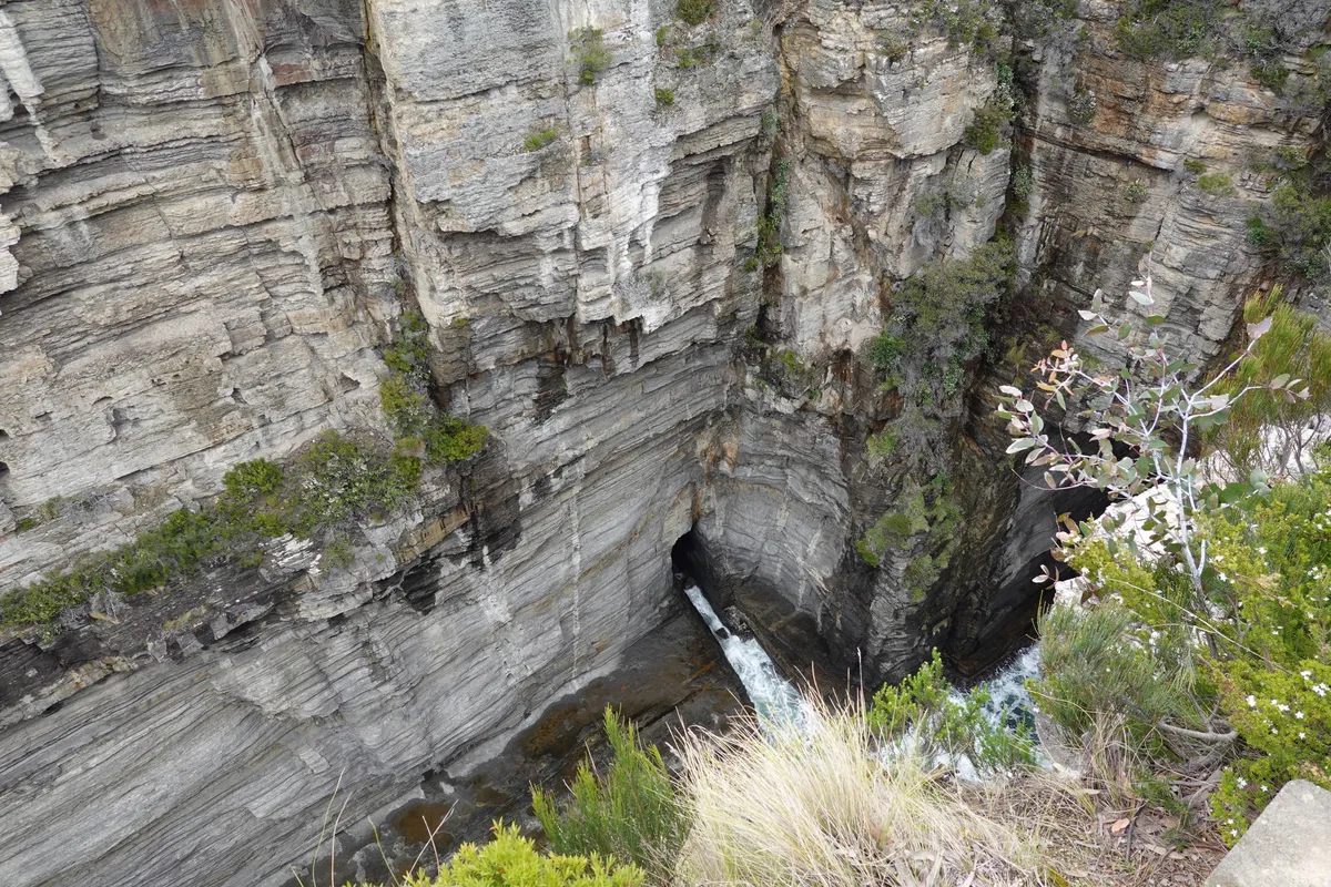
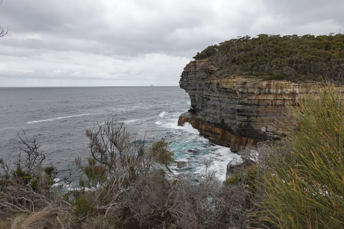
Tasman Arch/ Devils Kitchen
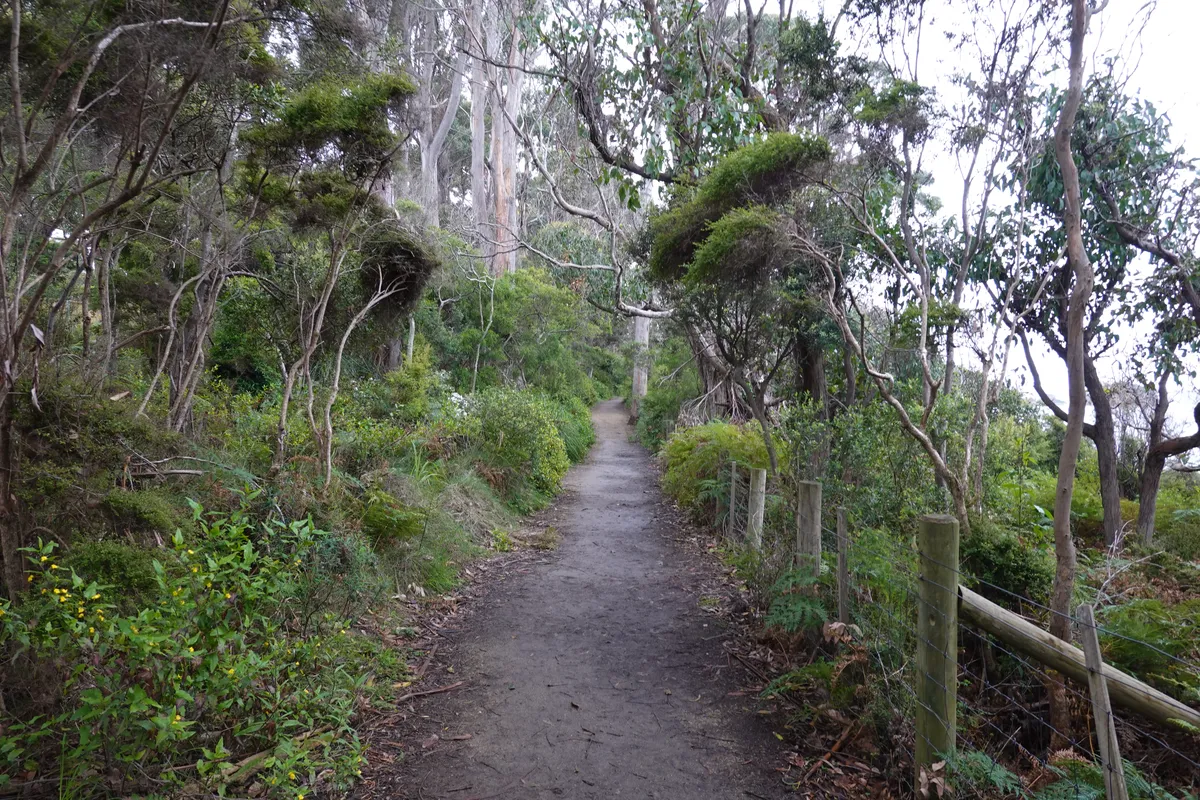
We started our day at the Tasman Arch. The Tasman Arch was an impressive sight, not just the arch that is currently left but also thinking about how waves had cut a cave and then an arch through a formidable cliff face. From Tasman Arch, there are a few nearby sights within walking distance, while a longer trail led to Waterfall Bay and Fortescue Bay. We took the shorter one and ended at Devils Kitchen, another formation carved by hounding waves.
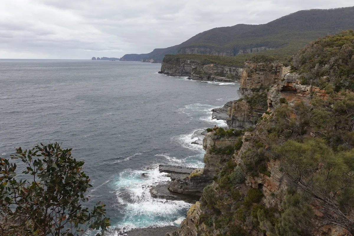
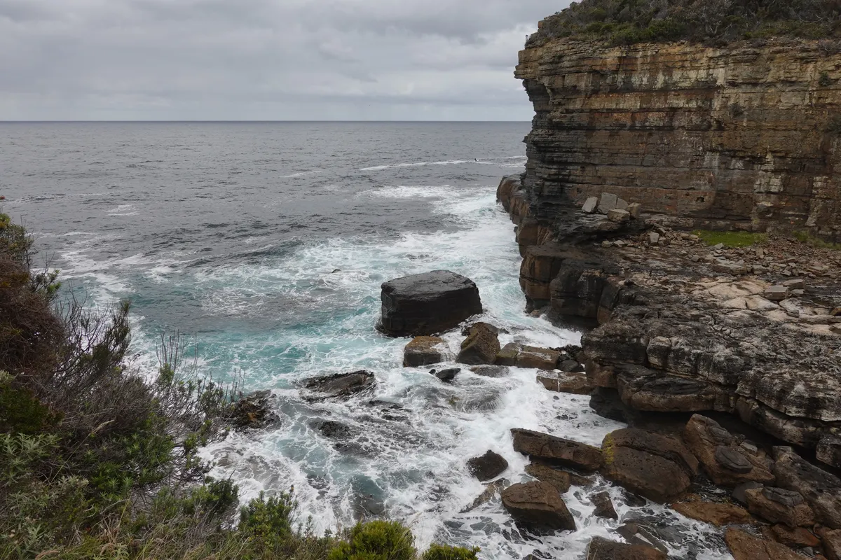
Blowhole/ Fossil Bay
Driving a short distance up north, we checked out another cluster of coastal formations such as the blowhole and Fossil Bay Lookout. Not the most impressive blowhole (might have been our timing) but the view of the cliffs along Fossil Bay were nice. Might be skippable if you’re short of time.
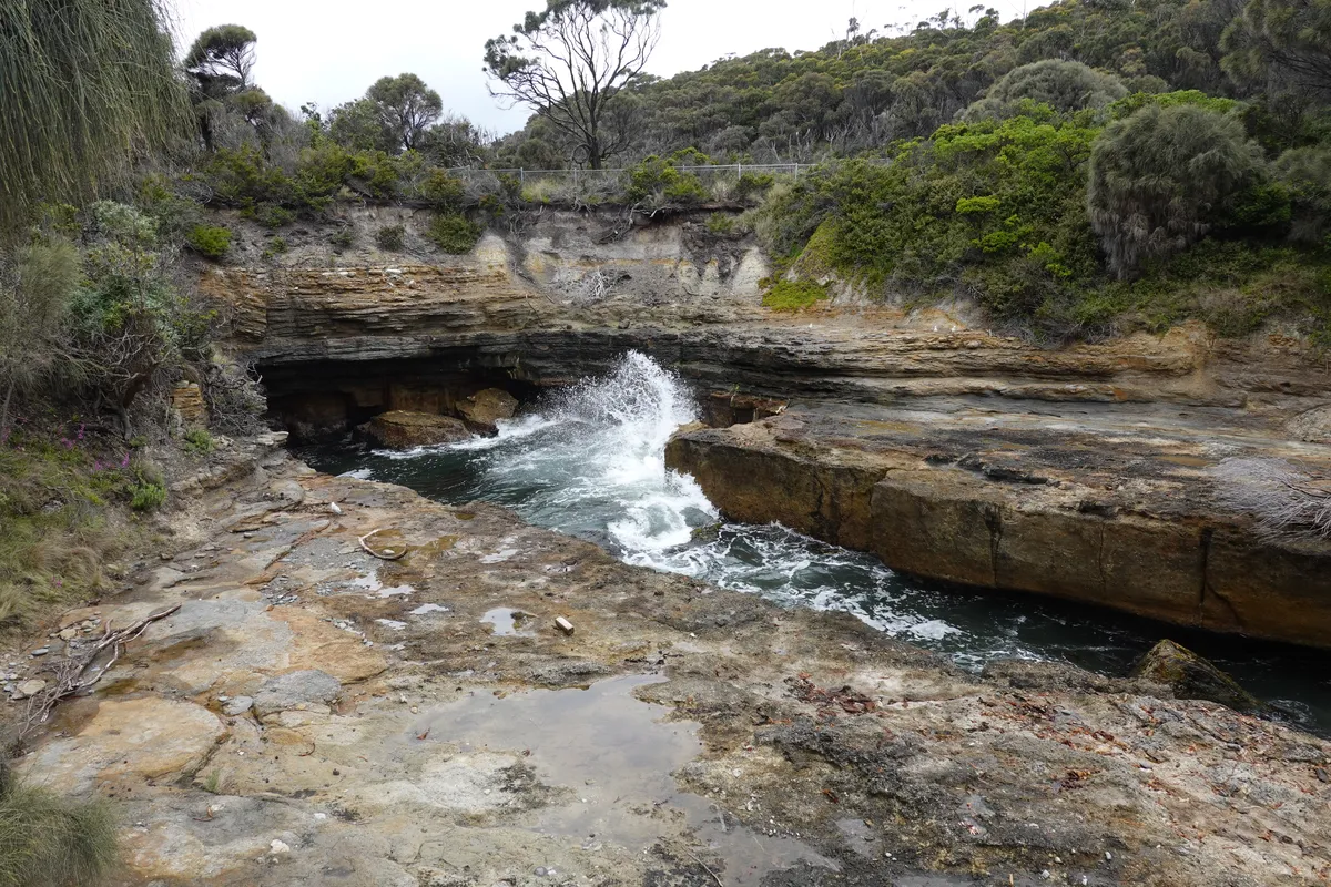
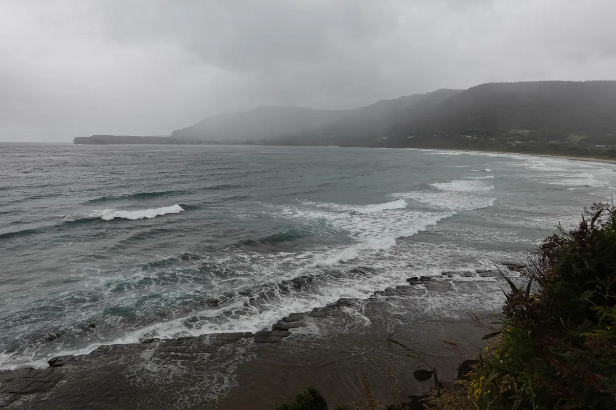
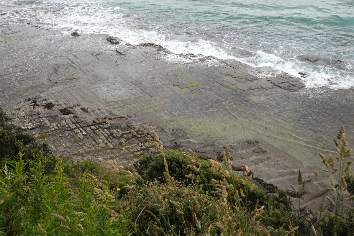
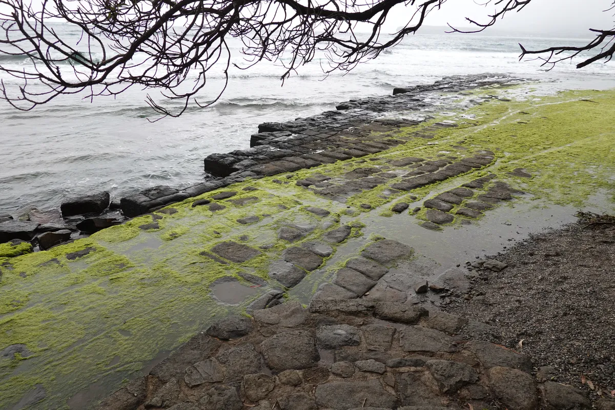
Tessellated Pavement
We then crossed Eaglehawk Neck for the fourth time. Just after Eaglehawk Neck we arrived at Pirates Bay for the trail to the Tessellated Pavement, as well as for the views across Pirates Bay. The Tessellated Pavement was really interesting, and the views from the lookouts were great. The weather might have added to the mood but it was great views all around.
Sorell
And that brought us to the end of our explorations in Tasman National Park and on the way to our campsite for day 2, further up north along the east coast. But first, more backtracking to Sorell for lunch and to stock up on more supplies. As Peter had advised, the route advised by Google would have been shorter on paper but a nightmare to get through as it involved mostly unpaved roads all the way, hence we stuck to the highways which went via Sorell. It was also convenient for us to stock up at Sorell as there were large supermarkets and a couple of restaurants there.
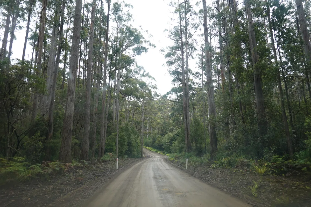
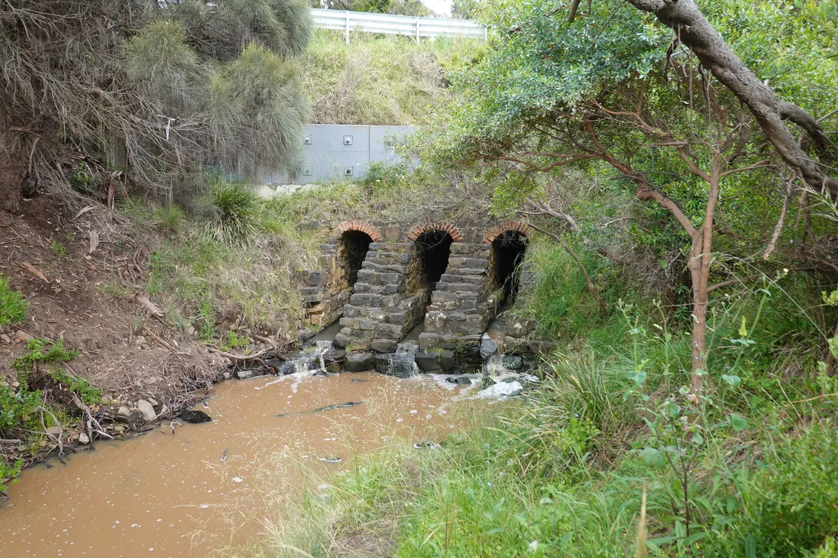
Paradise Gorge
From Sorell we took the Tasman Highway up north and inland. The scenery started feeling a little repetitive and I dozed off as my partner drove. I woke up to my partner exclaiming about the view, and it took me awhile to realise we were driving along a river through a gorge. Not quite the scenery I was expecting in Tasmania and quite a sight even in the overcast weather. Unfortunately I didn’t manage to get any photos of it, and only a short clip of it (not the best part) that I’ve included in the video summary.
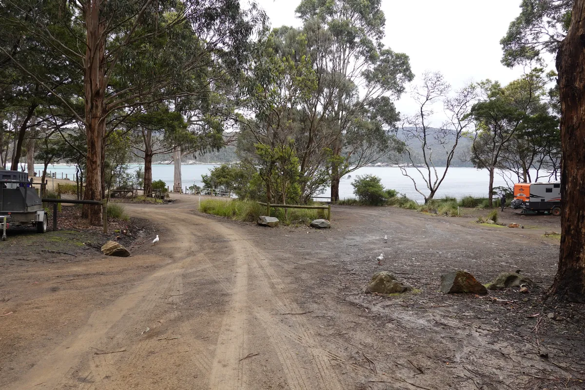
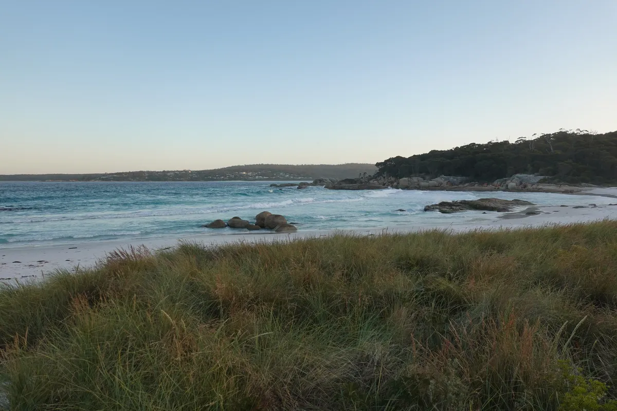
Mayfield Bay
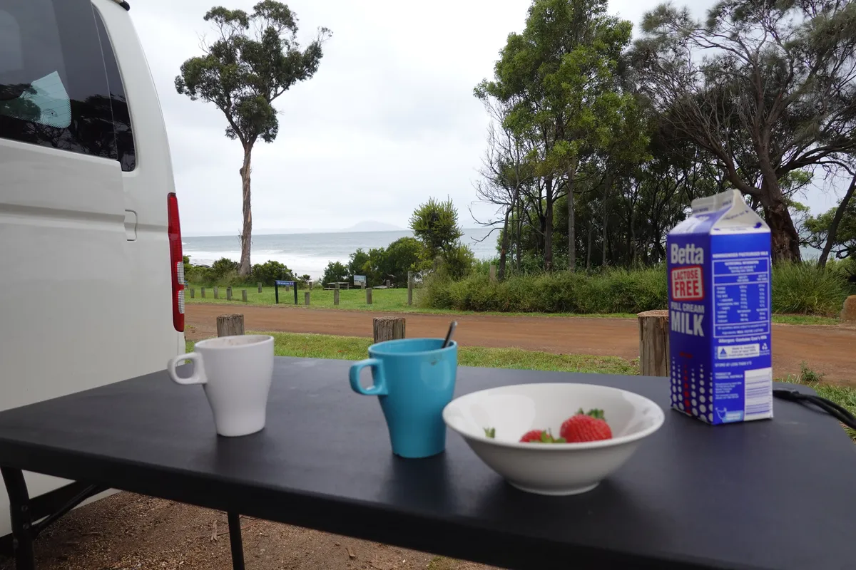
Later in the afternoon we arrived at Mayfield Bay campground. This is a free campsite, smaller than Fortescue Bay and had a different vibe to it. Probably a few more long stayers who seemed to know each other, or just a friendlier crowd. Mayfield Bay campground was just next to the sea and we managed to get a site with a partial sea view. There was no need to strain to hear the sea, and the waves pounded all day and night. Thankfully we did not pack much into that day’s itinerary. As it was still early in the day we got our tarp and table set up to enjoy our afternoon tea and dinner with the sea view.
Day 3
Another magical morning waking up to the waves, though the skies looked threatening. Feels like a dream waking up on a beach and having my first few steps of the day in soft sand, hearing the waves and feeling the sea breeze.
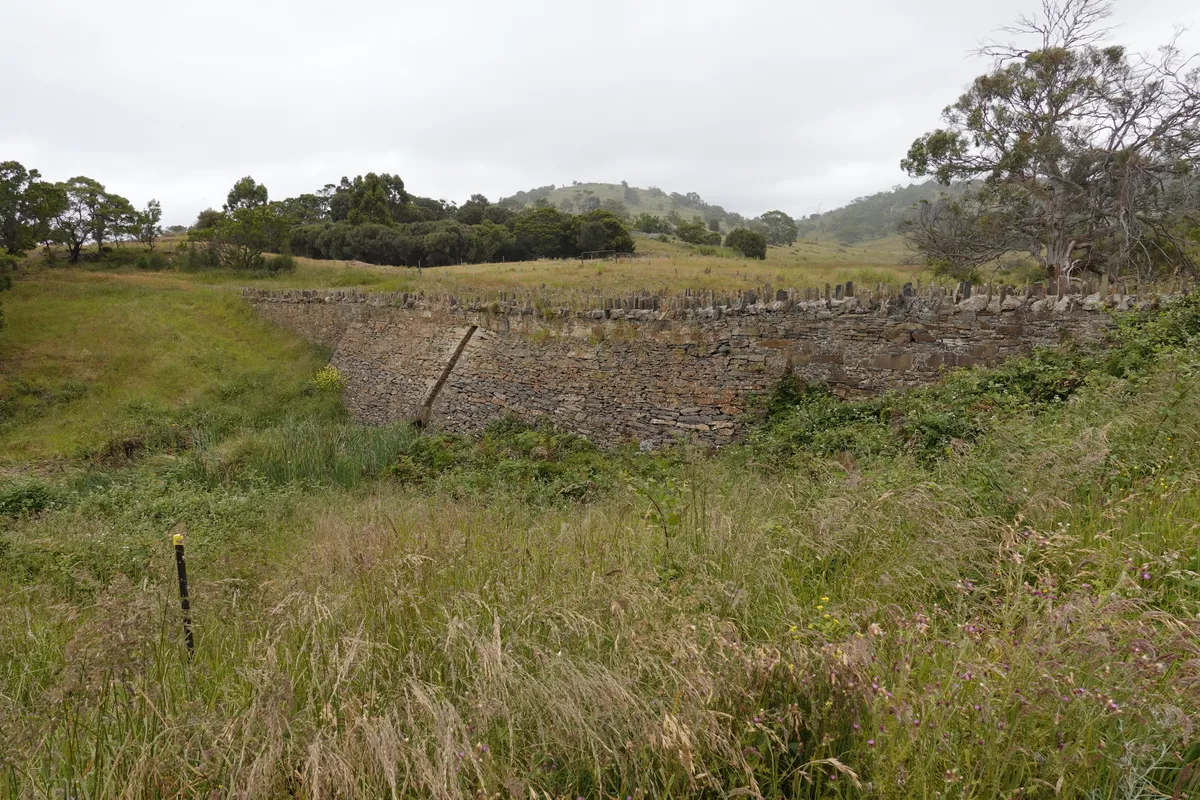
Three Arch Bridge
Other than being a nice and chill campsite, Mayfield Bay is also home to another convict labor landmark, the Three Arch Bridge. This one is much smaller than the bridge at Richmond, and not quite visible from the road level. From the campground the bridge is a short walk away. This one was built in 1845, some years after Richmond Bridge.
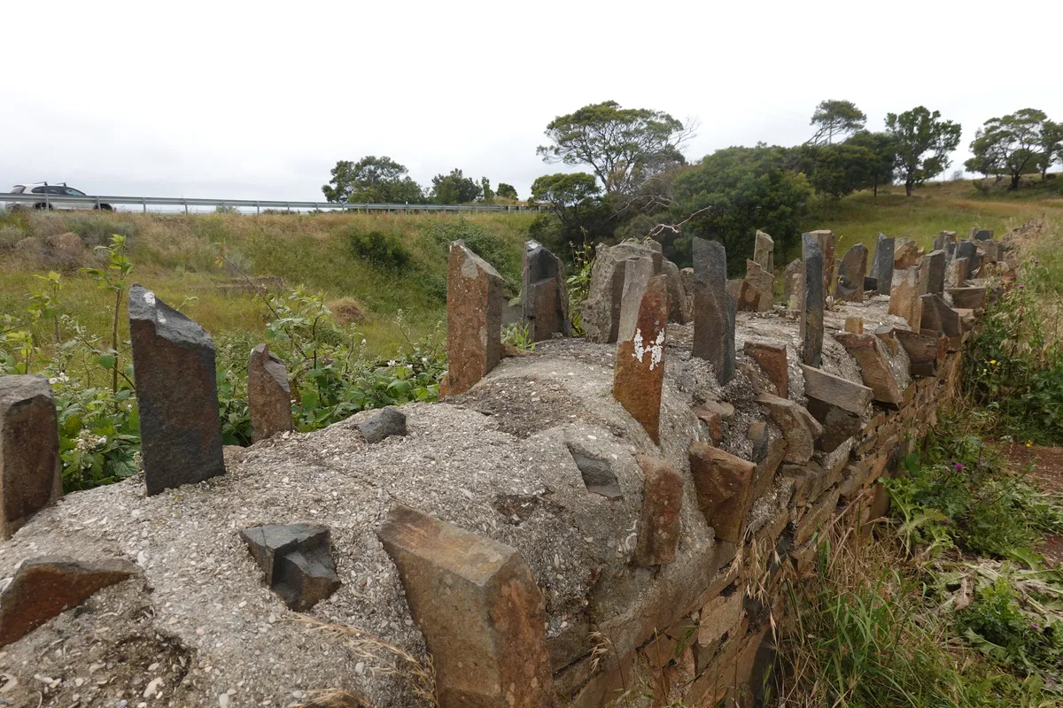
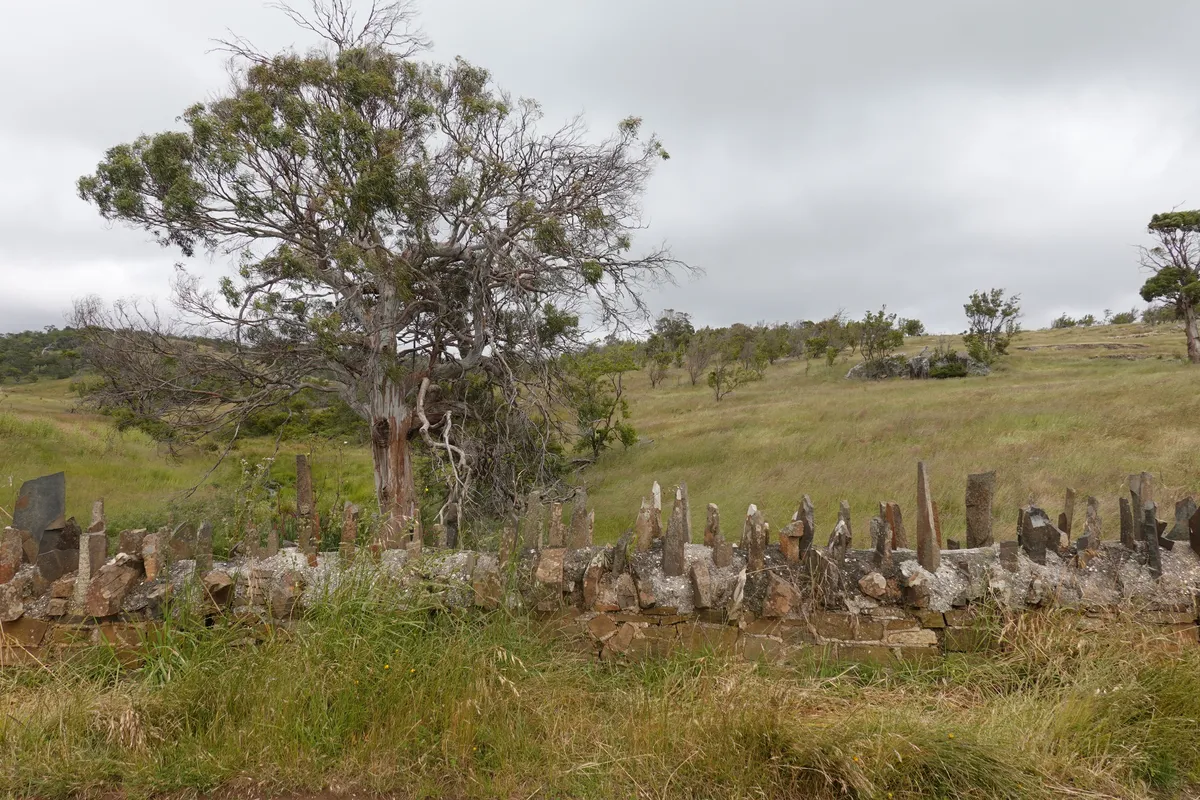
Spiky Bridge
Further down the Tasman Highway, yet another convict-built bridge, the Spiky Bridge. This is a pretty distinctive one, with “spikes” sticking out along both sides of the bridge.
Kate’s Berry Farm
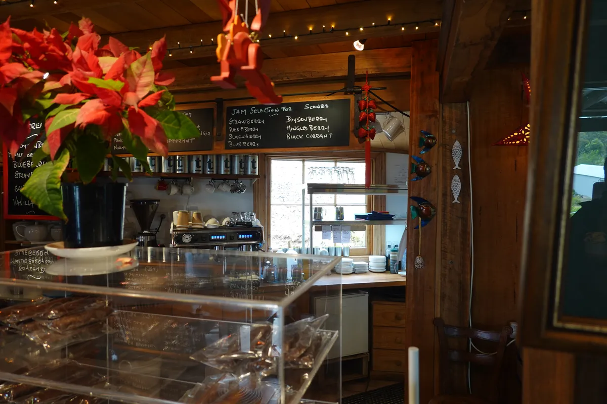
Just outside Swansea, we stopped by Kate’s Berry Farm. We sampled their range of freshly made jam and got a jar of jam as a souvenir. There was also other berry-based pastries and deserts available at the restaurant.
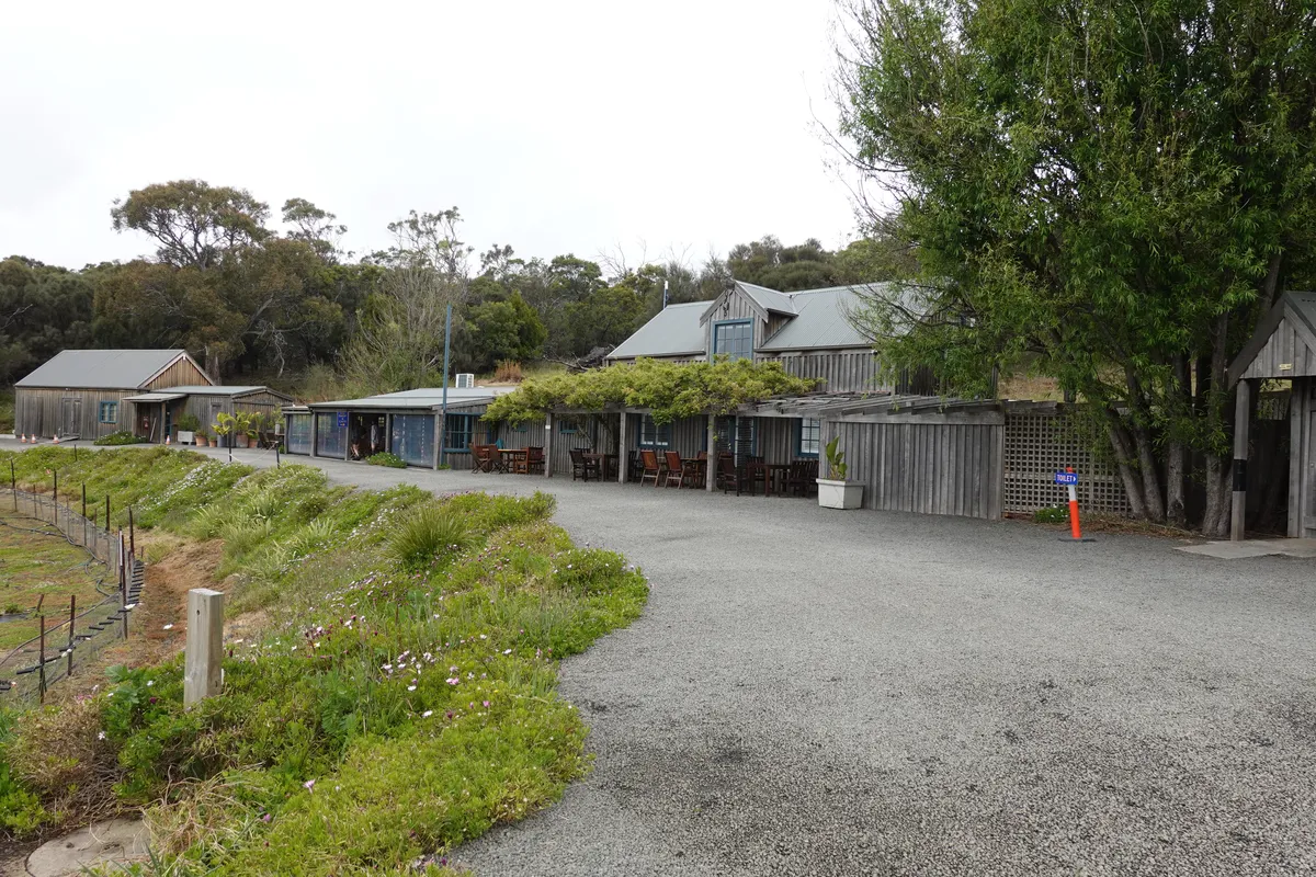
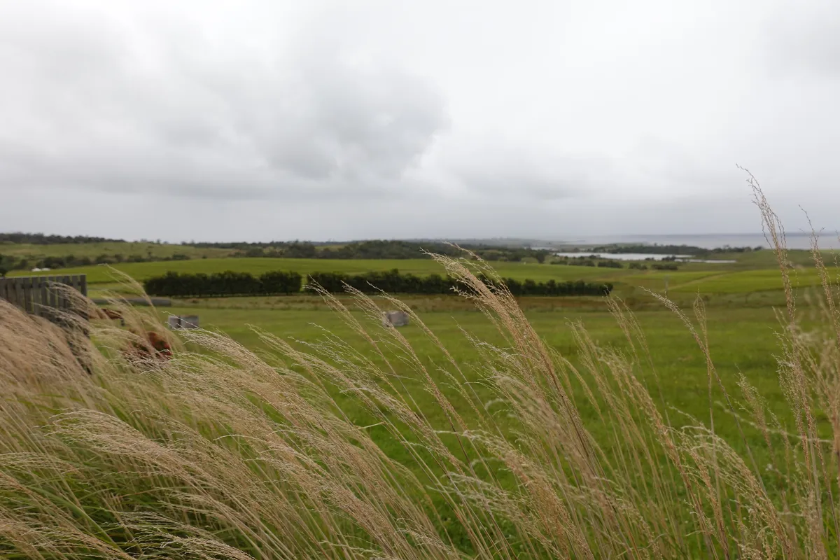
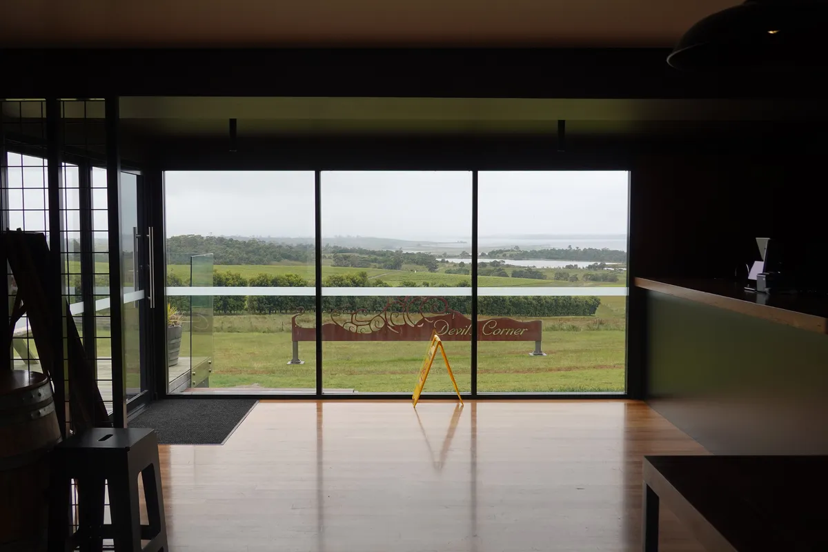
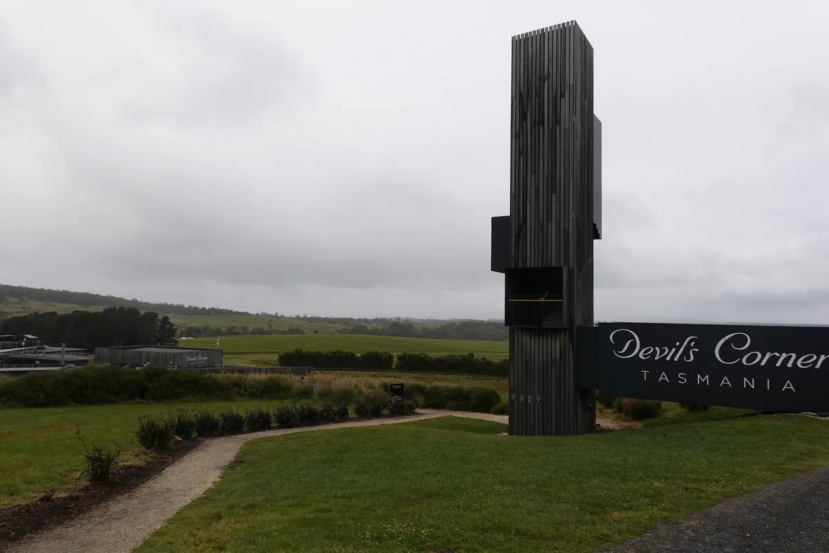
Devil’s Corner
Between Swansea and the turn off on Tasman Highway to Freycinet National Park, there are a number of vineyards, some of them complete with restaurants. We stopped by Devil’s Corner Cellar Door, mostly to take a break from the driving and for a quick look around. As there was still more driving to do we did not get drinks here, but it looked like a lovely place to have a meal and enjoy the view. The spaces appeared to have been designed to make the most of the view across the vineyards.
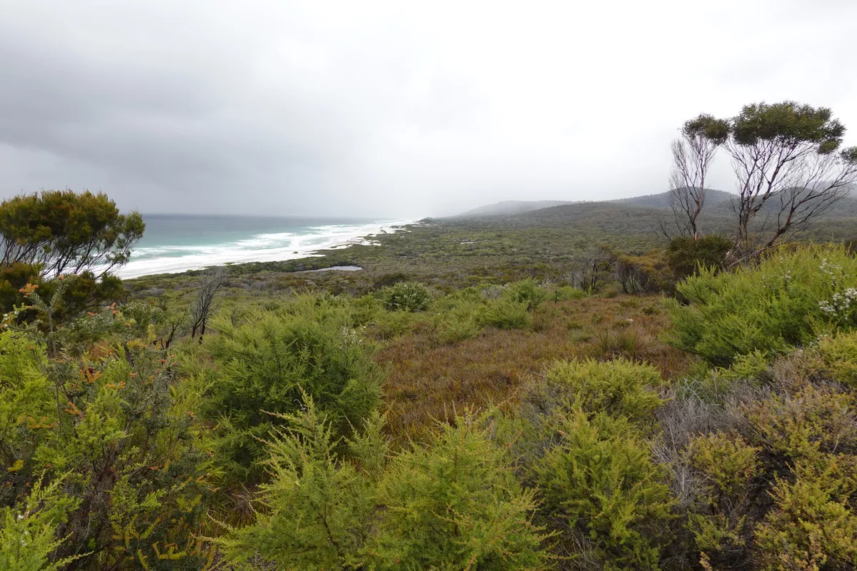
Friendly Beaches
Past the Pondering Frog, we left the Tasman Highway for Coles Bay Road, the only way into the Freycinet Peninsula. Our first stop was the Friendly Beaches Viewing Point, but as the weather didn’t look too friendly and as the area appeared quite exposed we didn’t stay long. Or it might have been because our next planned stop was Freycinet Marine Farm.
Freycinet Marine Farm
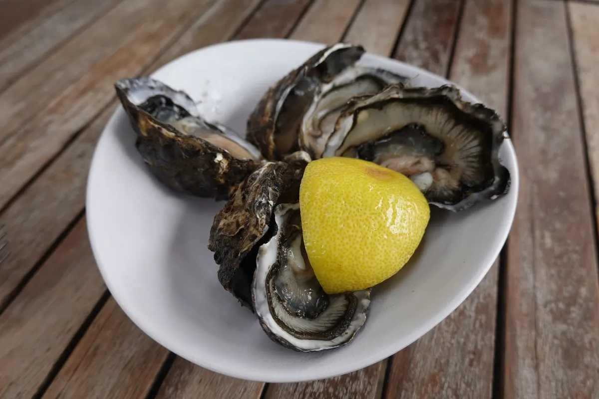
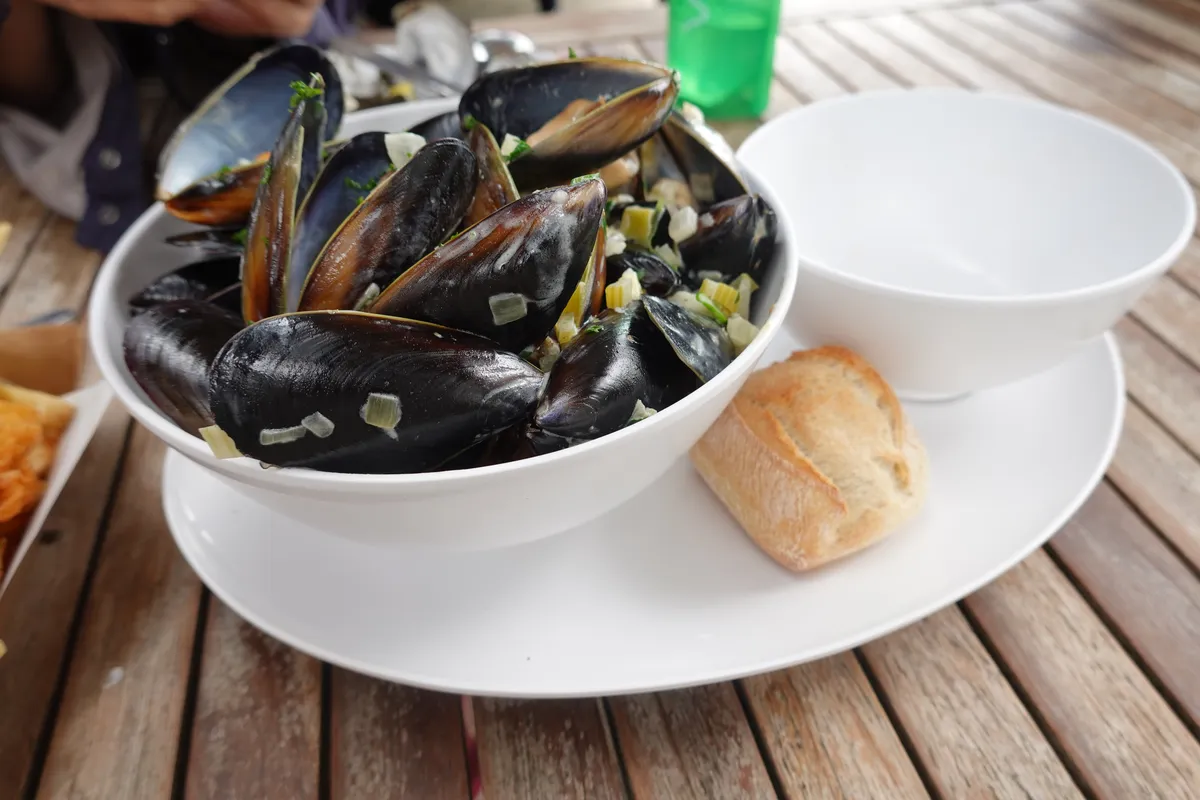
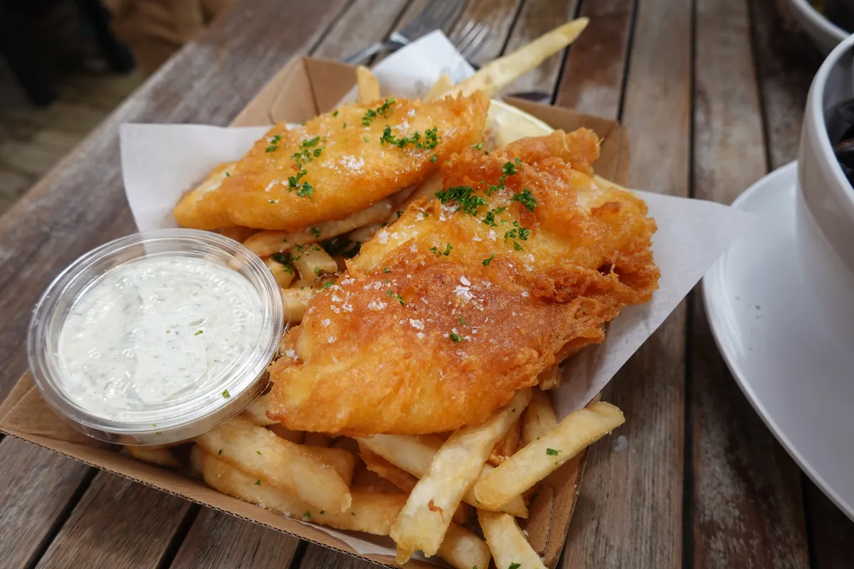
Alongside Wineglass Bay, Freycinet Marine Farm appears to be one of the top things to do at Freycinet, especially if you enjoy seafood. It was pretty crowded hen we visited. Food was on the pricier side but that didn’t seem to bother anyone especially after all the effort it took to reach Freycinet. We decided on the oysters, fish and chips and moules marinière. The food took awhile, but food was great and were glad to have made that stop. Wish they had given more bread with the mussels though. I felt that we had better oysters and fish and chips later down on the road, but those at Freycinet Marine Farm were among the top of the ones we tried.
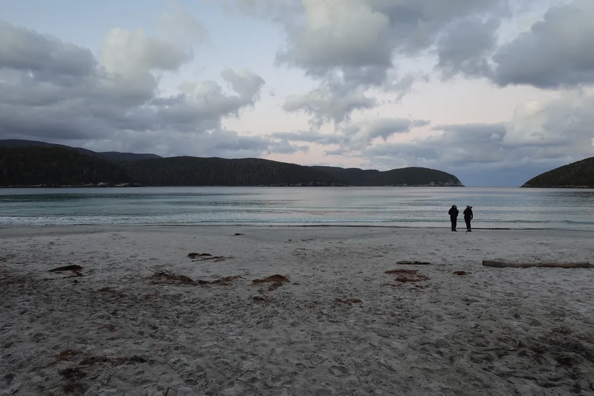
Honeymoon Bay
After lunch, we checked in at our campsite for the night at BIG4 Iluka on Freycinet Holiday Park, took a quick break, before continuing into Freycinet National Park. First up, Honeymoon Bay. We came here to for the shell middens at Richardson’s Beach. While not particularly spectacular looking, these shell middens are important aboriginal cultural artefacts and tell a story of the past that might have been lost if not for them. Along the rest of the bay, the mountains of Freycinet formed a beautiful backdrop to the beach at Honeymoon Bay.
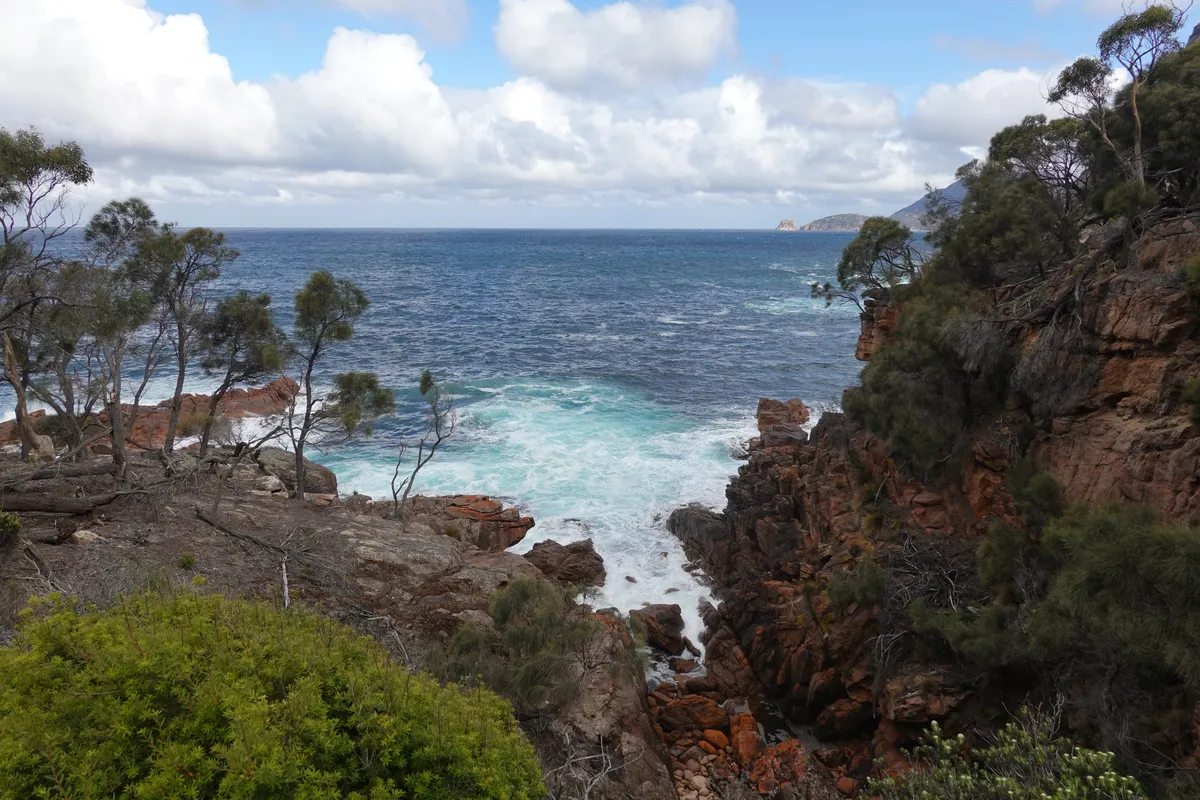
Sleepy Bay
Unlike Honeymoon Bay which was situated next to the carpark, Sleepy Bay is accessed via a short, comfortable track through some coastal shrubs to the shore. Good warm up for later walks, and a great one in good weather. Sleepy Bay was a beautiful and potentially chill spot. Chill if there aren’t too many people around. Nice waves, nice rocks.
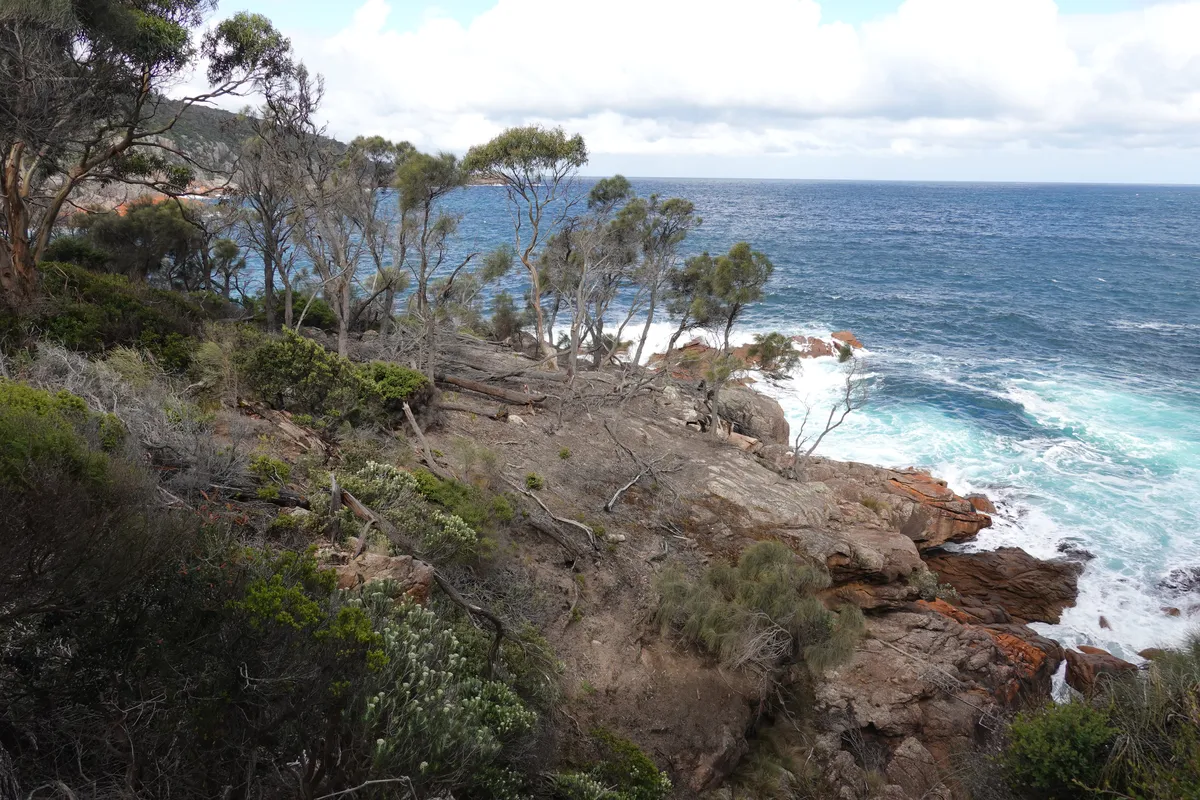
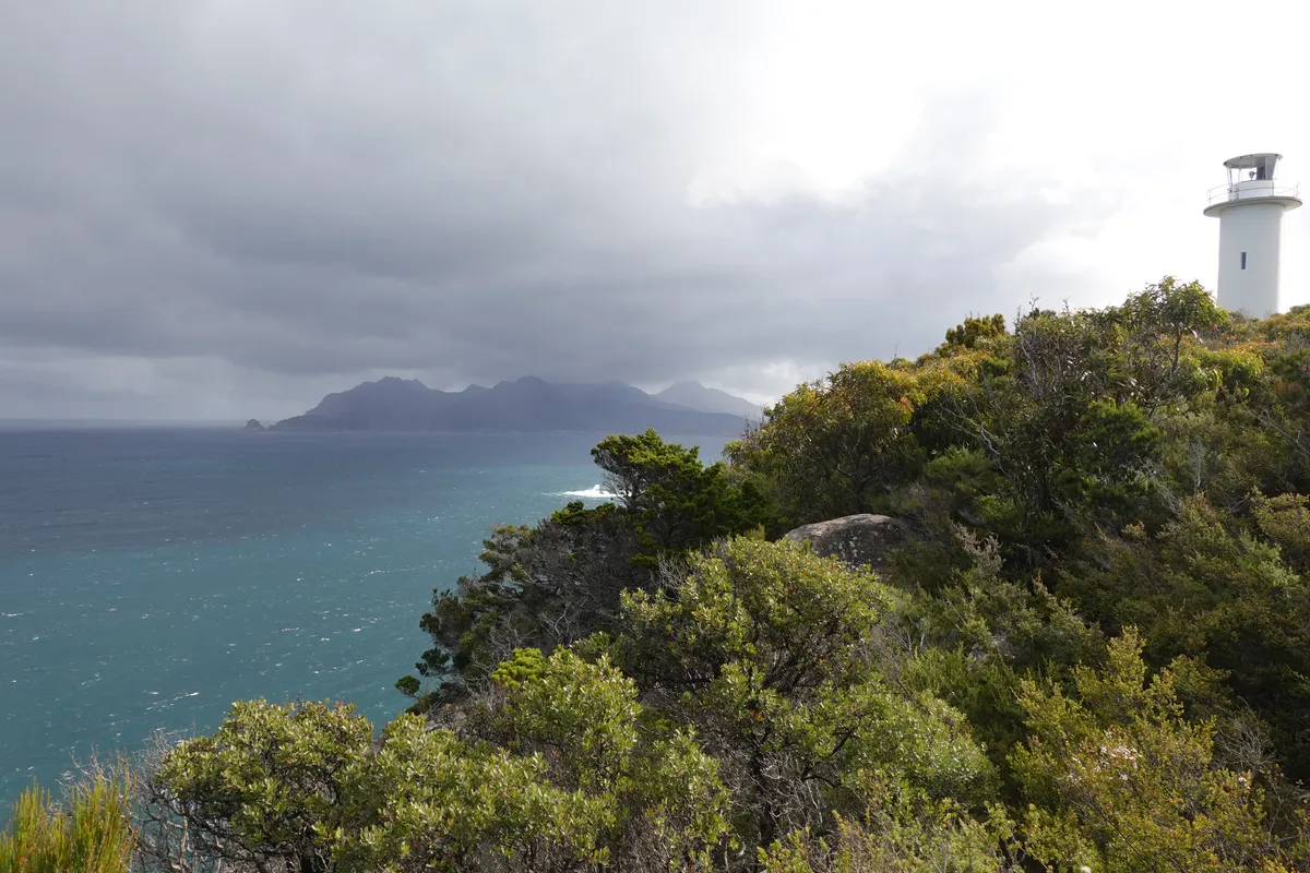
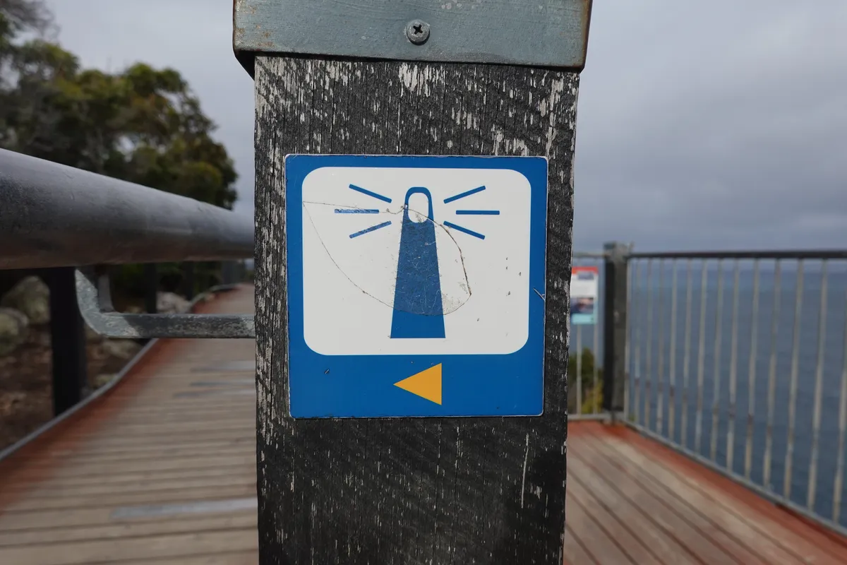
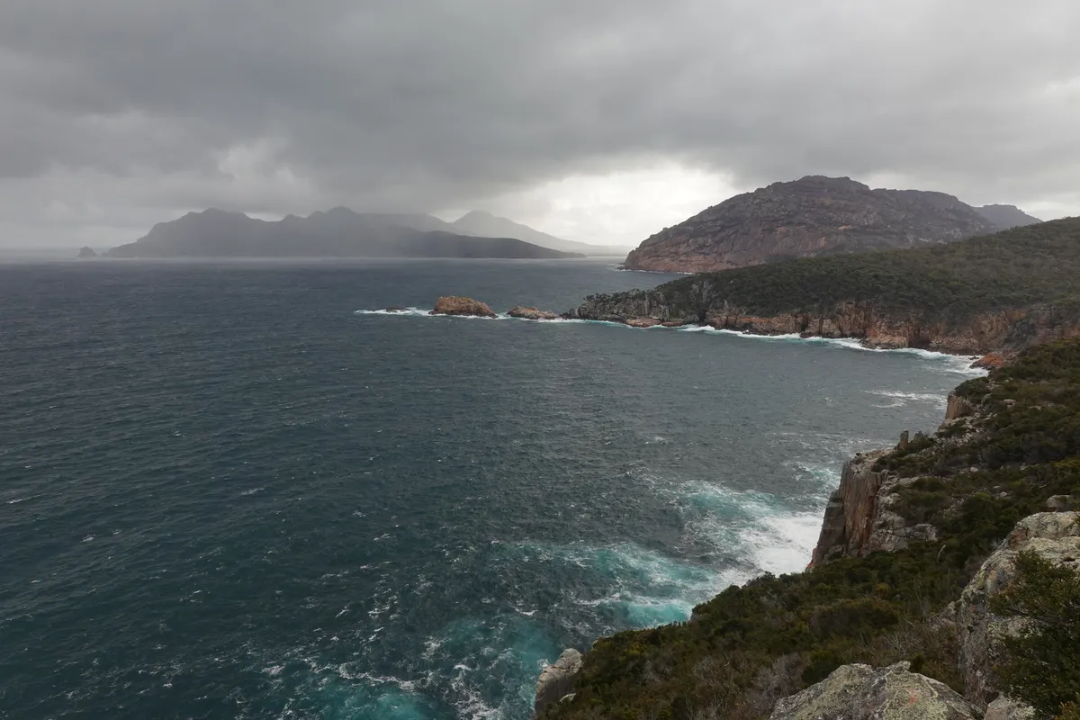
Cape Tournville
From the Sleepy Bay carpark, we drove further in Cape Tournville Road all the way to the end for the Cape Tournville Track around Cape Tournville Lighthouse. Another short and potentially comfortable track, with a well built path following the top of the cliff going around the lighthouse. Potentially, this time because the trail is directly exposed to the elements, and the rain and winds rolled in just as we reached the exposed sections. Weather changes here were fast and furious. The photos from Sleepy Bay and Cape Tournville are about half an hour apart, and those at Cape Tournville was after the worst of the weather had passed. Nonetheless, bad weather makes for dramatic photos.
Big4 Illuka
With the sun setting and clouds not clearing we decided to call it a day and head back to our campgrounds.
This was our first powered site booking and is one of our most expensive nights of the trip. While some of the facilities look a little dated or worn, given the popularity of Freycinet and what we got, I think it was decent value. The site was well maintained, had clean toilets with hot showers, laundry facilities (that we found later to be the best of the trip), had easily accessible water and power points, and had a nice, flat lot that stayed dry despite the rain. Probably the only downsides compared to the previous days were being further from the sea.
With all those amenities, we took our chance to have a nice long shower (though we had to take turns as we only had 1 key), then a huge round of laundry including our clothes from the Three Capes Track. The dryer here was the only one we had luck with for the rest of our trip and we wrapped up the night with clean and warm laundry (after staying up for another two hours waiting for it).
Day 4
Weather roulette gave us a wet and windy morning as we were about to head up to what was supposed to be one of the nicest views on Tasmania.
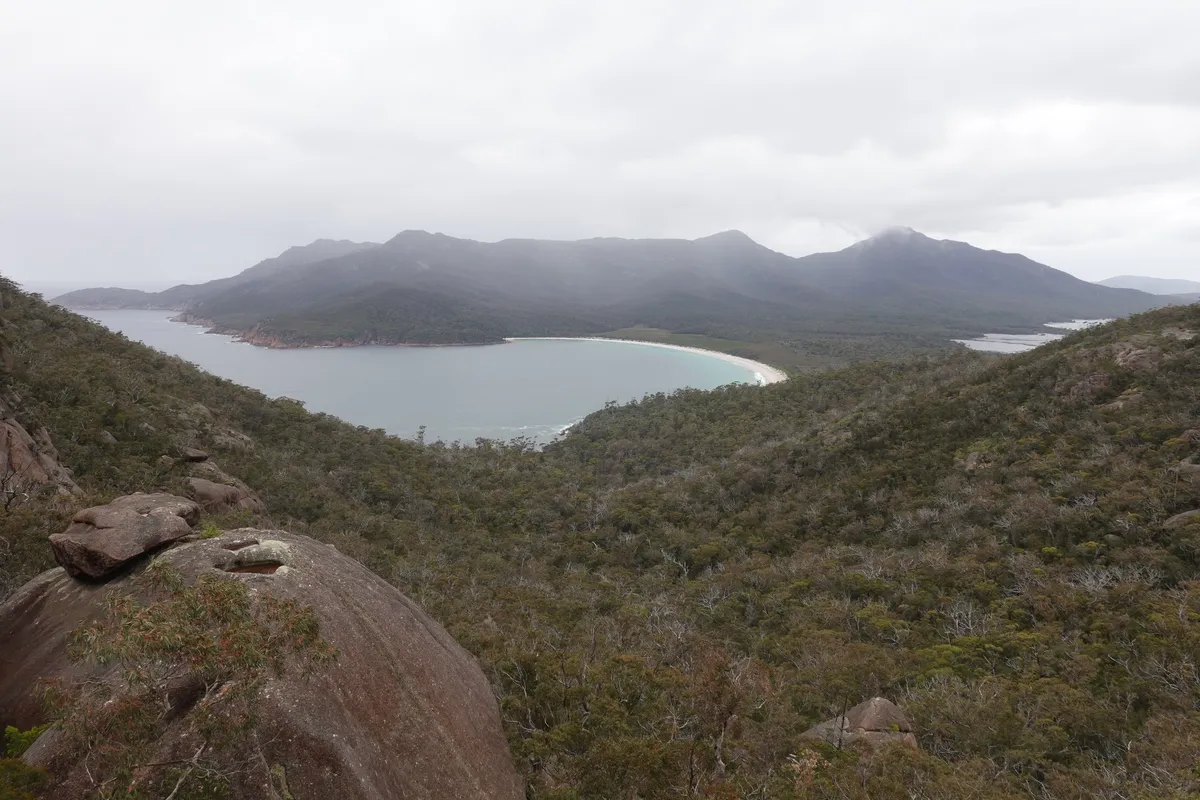
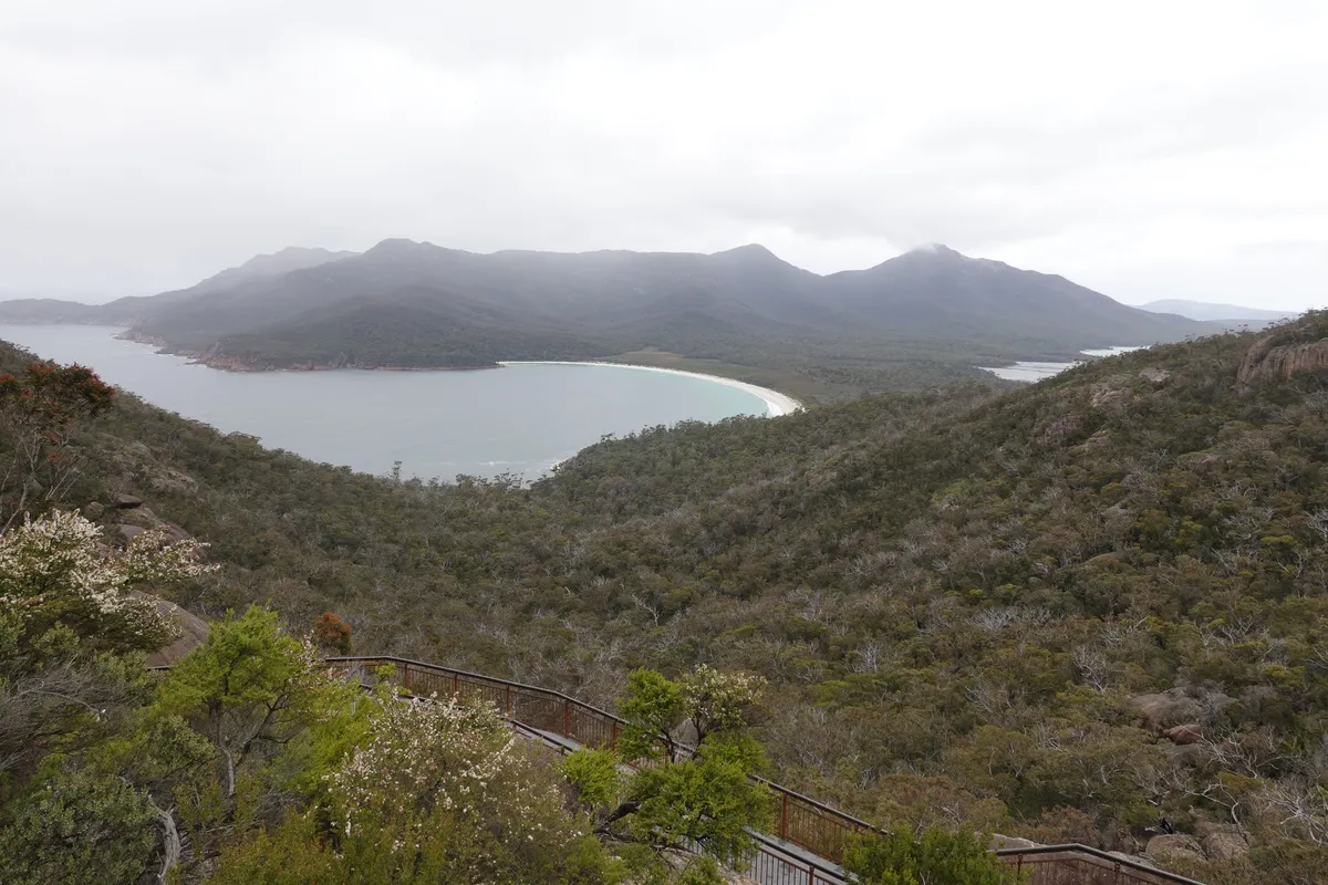
Wineglass Bay
We were considering doing a longer route either up to the Hazards or down to Wineglass Bay but laziness got the better of us and we decided to just make it to the Wineglass Bay lookout. The walk was slightly longer and more crowded compared to the past few days, but still an enjoyable one, apart from the rain. Nice views, but I’d imagine it could be spectacular in clear weather. It felt surreal seeing Wineglass Bay in real life, after seeing it plastered across Tasmania and the internet.
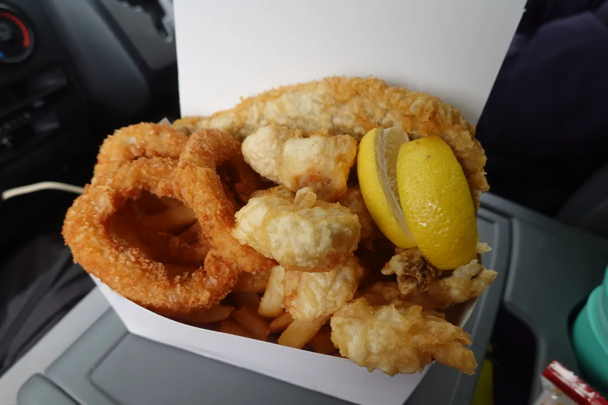
Scalefish Takeaway
On the way out of Freycinet we stopped by Scalefish Takeaway at Coles Bay for a seafood box. Great experience having our lunch from the front seats of the campervan, safe from the elements and hungry birds. I can’t put my finger on it exactly but there was something about the food here we really liked. Perhaps because there was a certain home-cooked feel about the food or maybe because the food was fresh and hot while it had been a cold day. Not fine dining but the food was on point. I’d visit again if we were ever back at Freycinet.
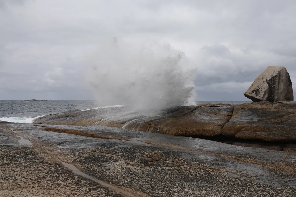
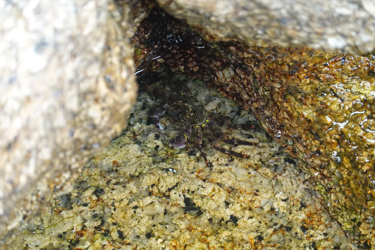
Bicheno Blowhole
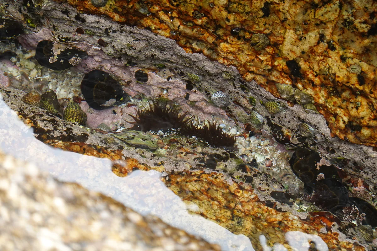
Just a couple of minutes past Freycinet Peninsular on the Tasman Highway is Bicheno, known for its blowhole and penguin watching. As we had plans to watch penguins later on our trip, we only visited the blowhole here. Compared to the one we saw at Eaglehawk Neck, this was significantly more impressive. There were a couple of spots where the waves hit the rocks and sprayed high into the air. Close enough to feel its power, but far enough to stay dry. We spotted sea creatures in the crevices around the area too! Nearby there are also some whale watching spots if you happen to visit when that’s in season.
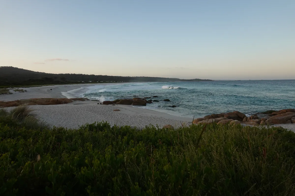
Lagoon Beach Campground
As we shortened our initially planned hike for the morning, we ended the day a little earlier than planned. Camp for tonight was at Lagoon Beach Campground, a free camp site on the northern end of the Chain of Lagoons. Compared to the one at Mayfield Bay, this one was larger and had plenty of flat ground. There was also a wider and longer beach next to the campgroudn where sand was fluffier. We picked a spot nearer to the toilets (drop toilets) to avoid a long walk for toilet breaks. There were also some folks here who looked like long term stayers. Beyond the campgrounds was the beach. Lots and lots of it.
Day 5
Blue skies returned as we continued up north along the east coast for one more day. Another beautiful drive along the coast.
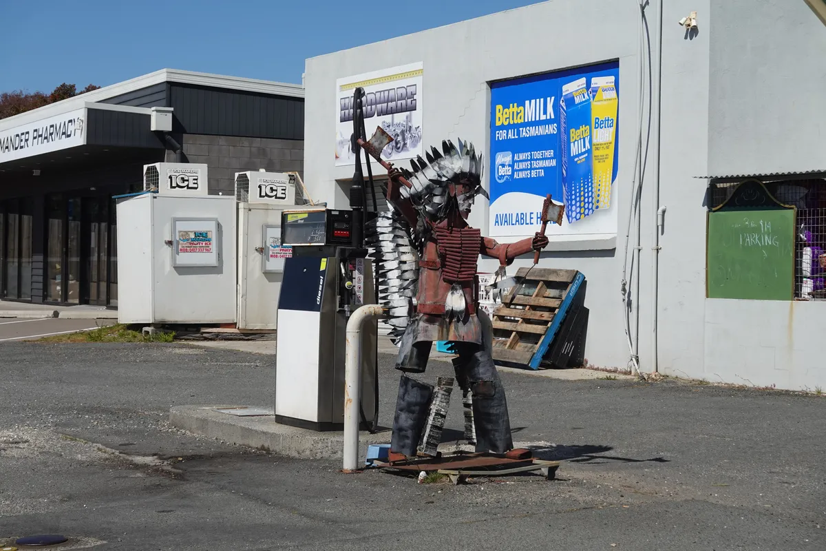
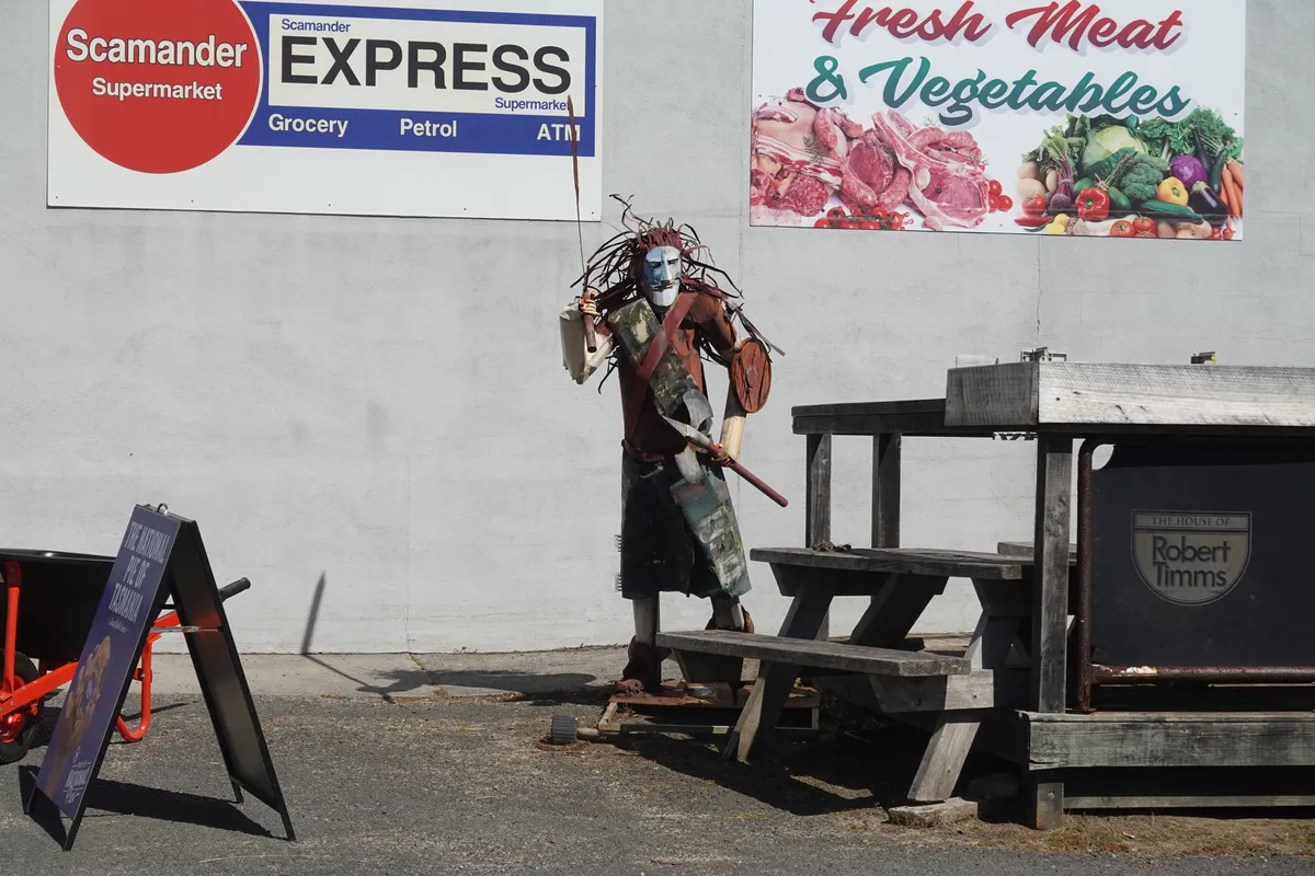
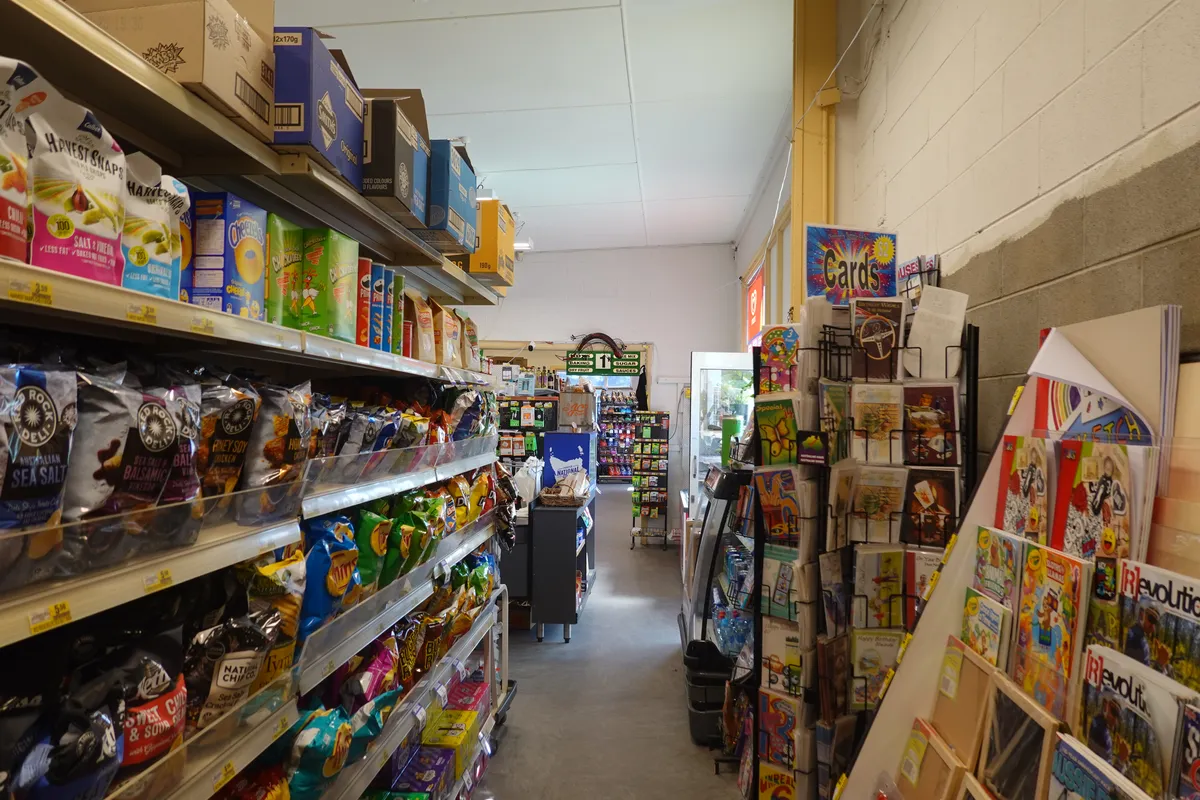
IGA Scamander
We stopped at Scamander to pick up some groceries, and were amused by the quirky metal sculptures around the supermarket.
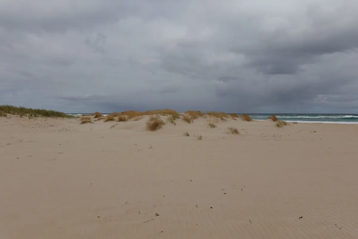
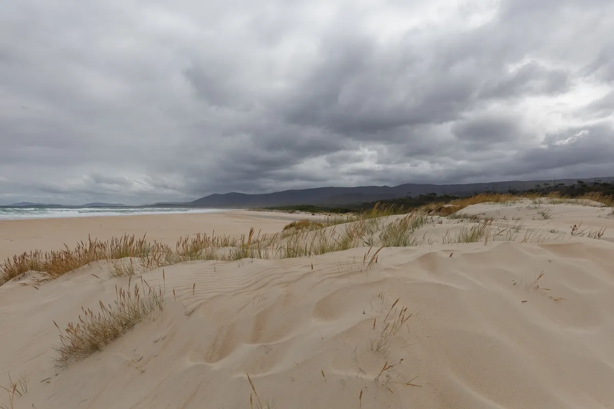
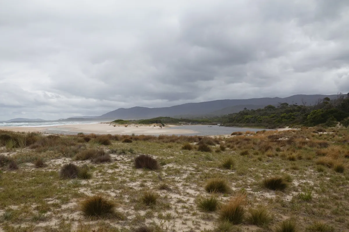
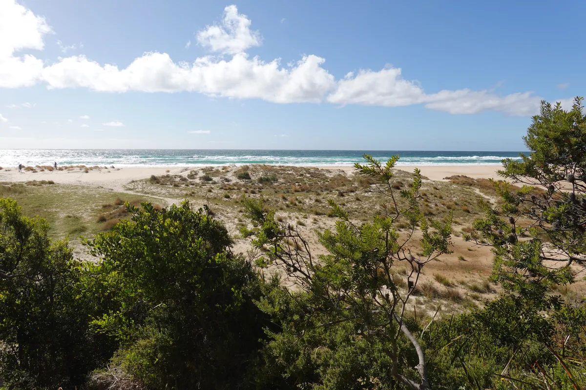
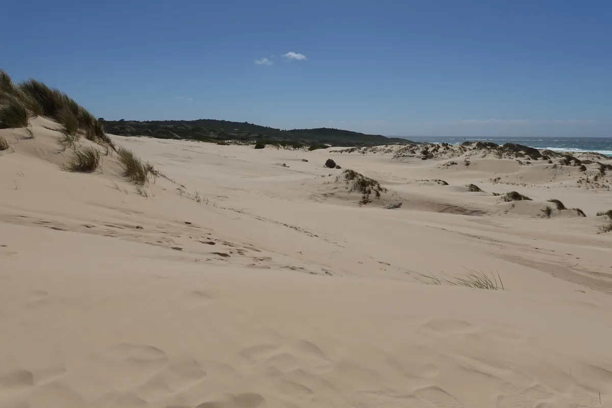
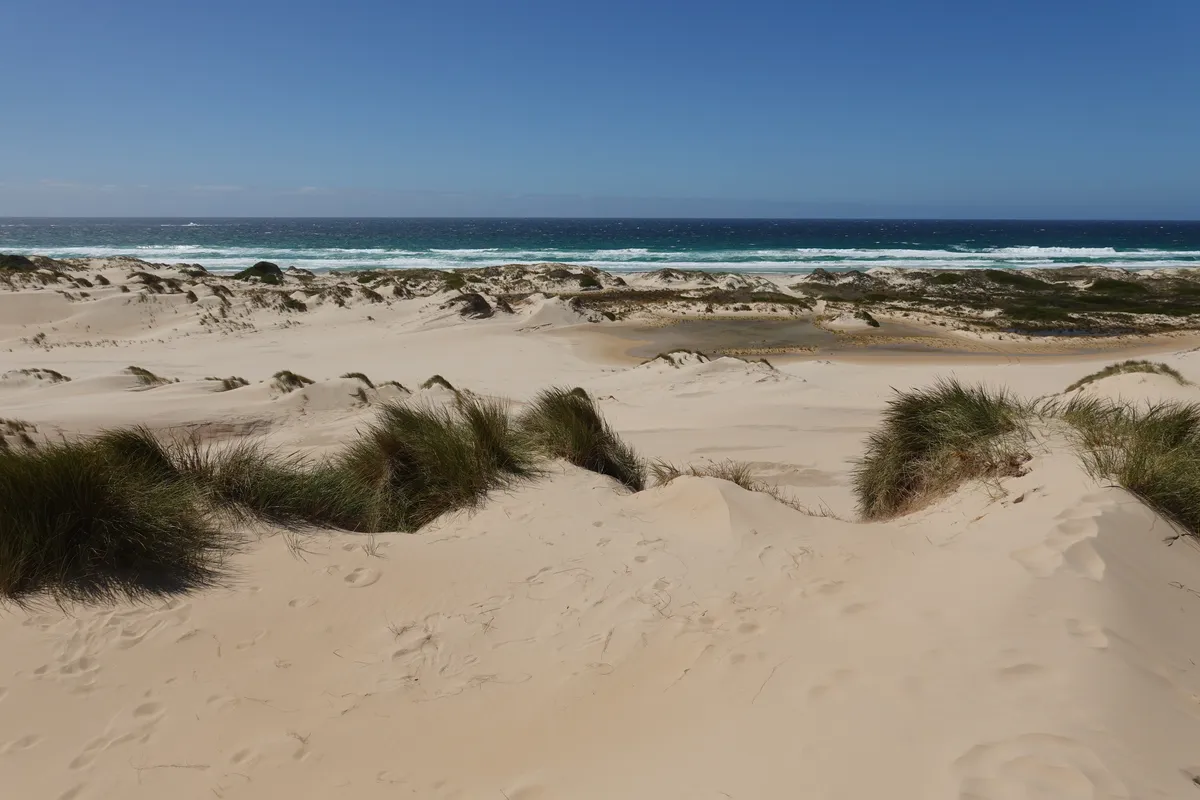
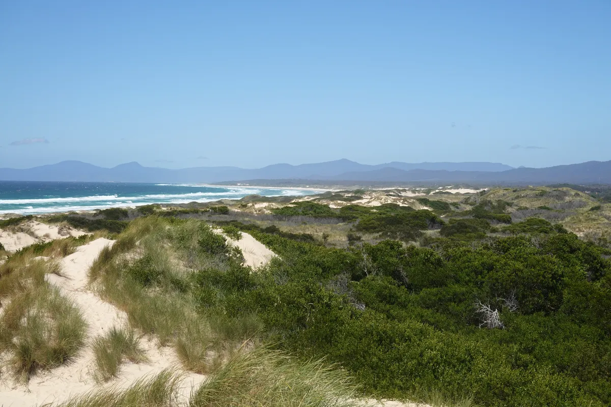
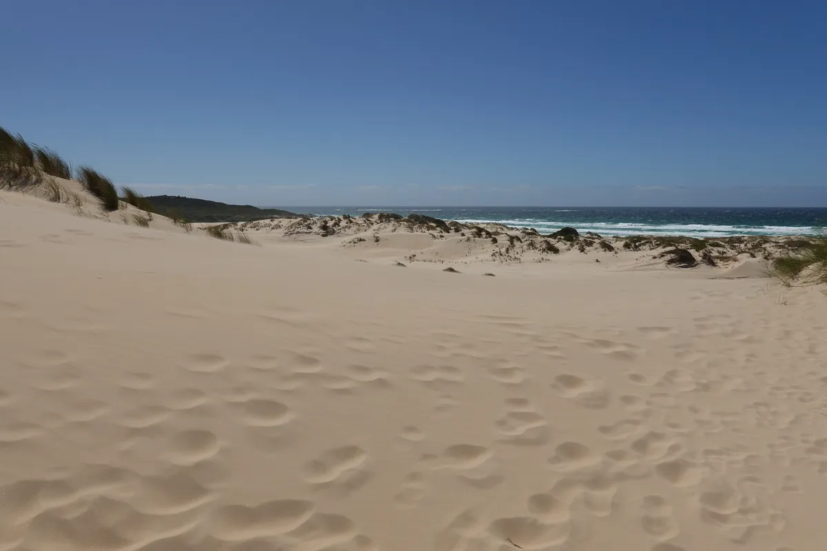
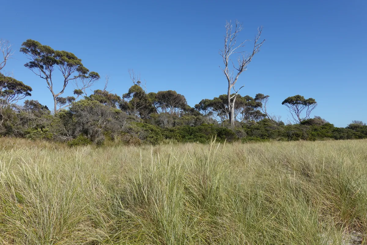
Peron Dunes
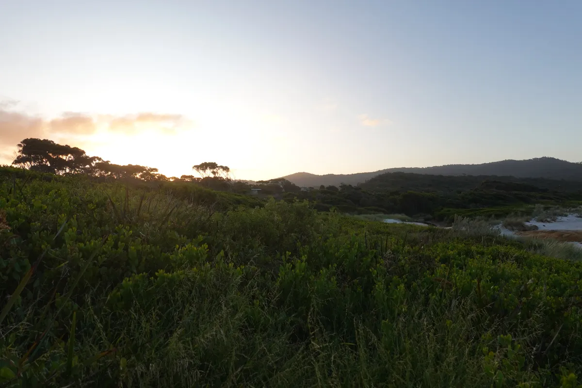
We were a little concerned about adding Peron Dunes to our itinerary especially after the last few days where we realised some attractions marked on Google maps weren’t actually accessible, we couldn’t find much information about Peron Dunes beforehand, and we didn’t really want to be stuck in any kind of sand. Decided to check it out nonetheless, and got more apprehensive after realising the road in seemed deserted. We were about to give up identifying the right turnoff to take when we saw another campervan ahead make a right turn and decided to follow a safe distance behind. It didn’t help that we saw them struggling (just for awhile) with the sand just moments after. Nonetheless, we parked further out, way before the sand, and follow the signs that pointed towards a trail.
We were bashing through shrubs uphill for awhile wondering where this was all leading to, when suddenly, at the top of the ridge, the shrubs ended, and it was mound after mound of sand all the way to the sea. A little like Chain of Lagoons, but way bigger and more dramatic. Could have been a desert, and definitely not something I was expecting in Tasmania. Endless soft sand that felt less soft every time the wind blew and sent sand across my face. It was fun in this unexpected find, and surprisingly few tourists compared to what we had seen on the previous day and were to see later that day.
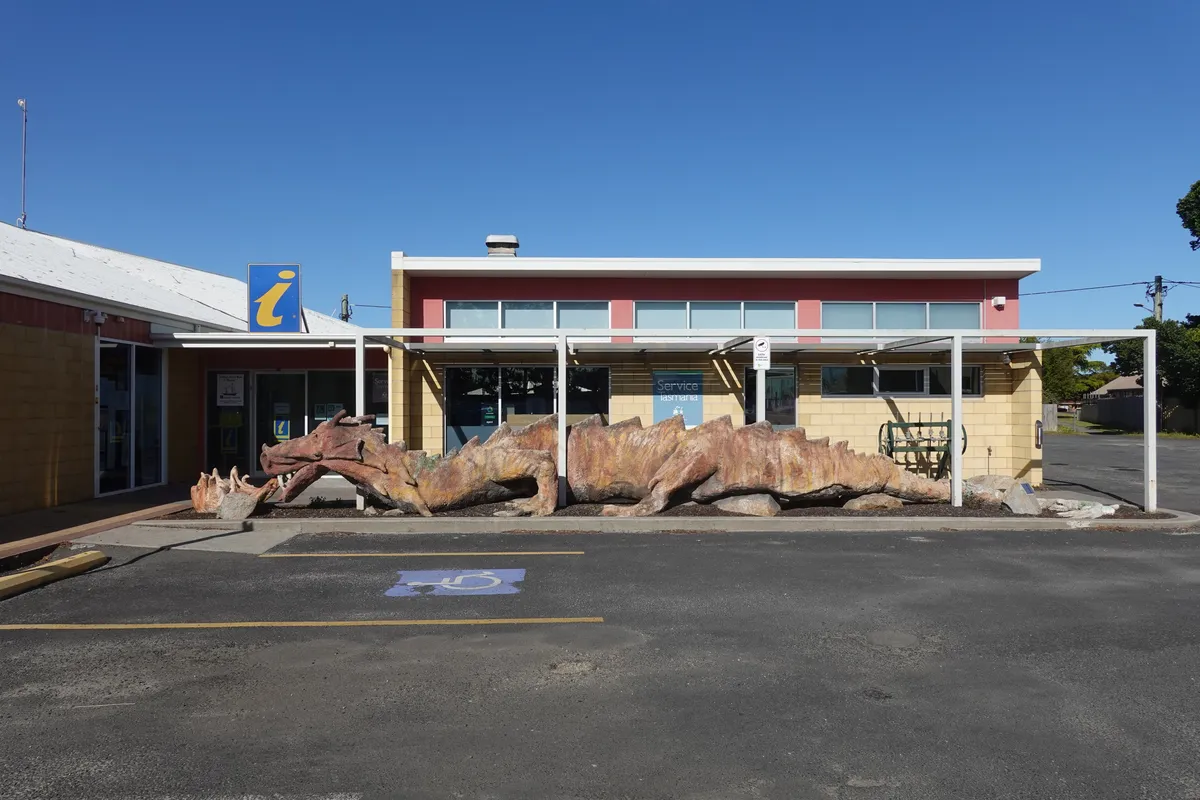
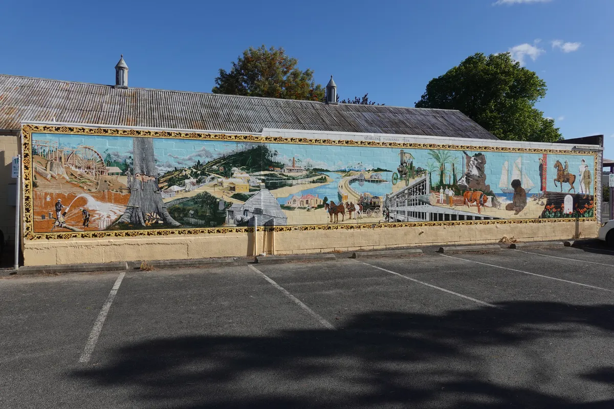
St Helens
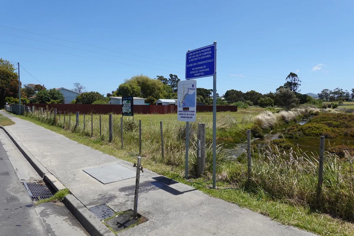
While Binalong Bay and Bay of Fires were just across Georges Bay from Peron Dunes, we had to make a full round around it to get there. St Helens is conveniently located along the way and we stopped for a quick visit. It’s a small town that seems popular with tourists and had good amenities. There was a visitor information center with free (and clean) toilets, some water and waste disposal points around the town, as well as shops and supermarkets. We dropped by the visitor center to enquire about the places we should visit in Bay of Fires and the best places to camp, then checked out the supermarket. Got all we needed for another free camp night and were on our way.
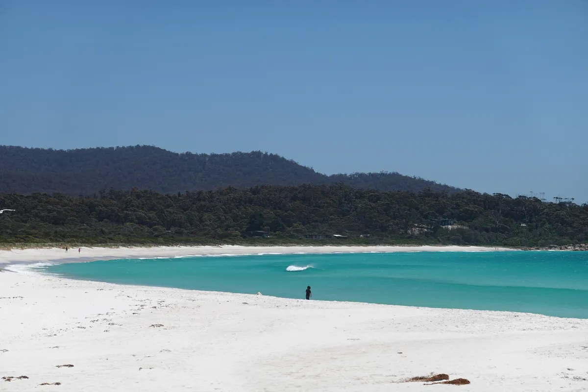
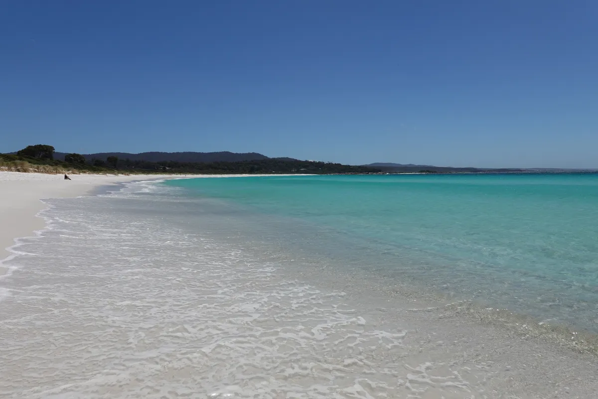
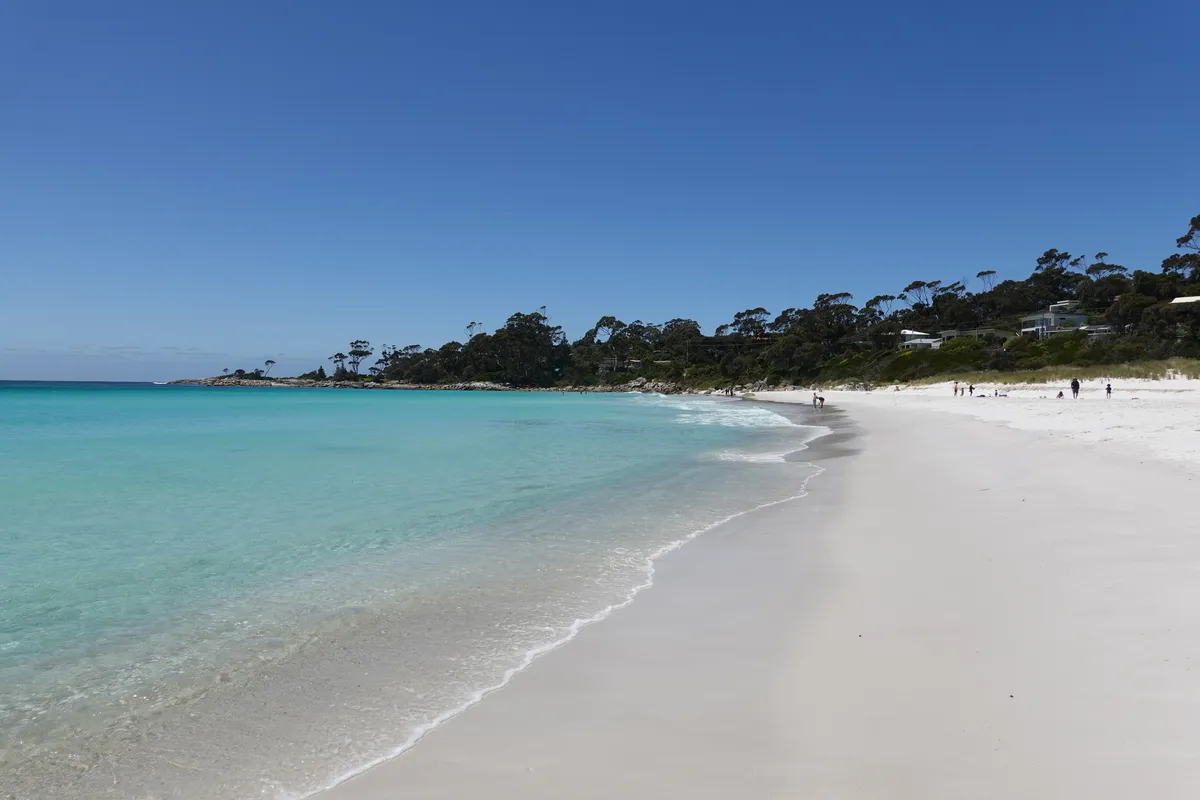
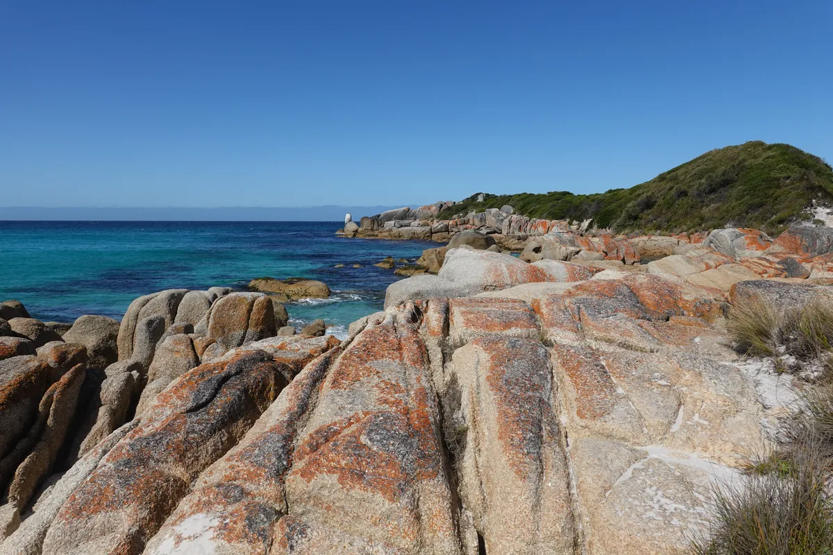
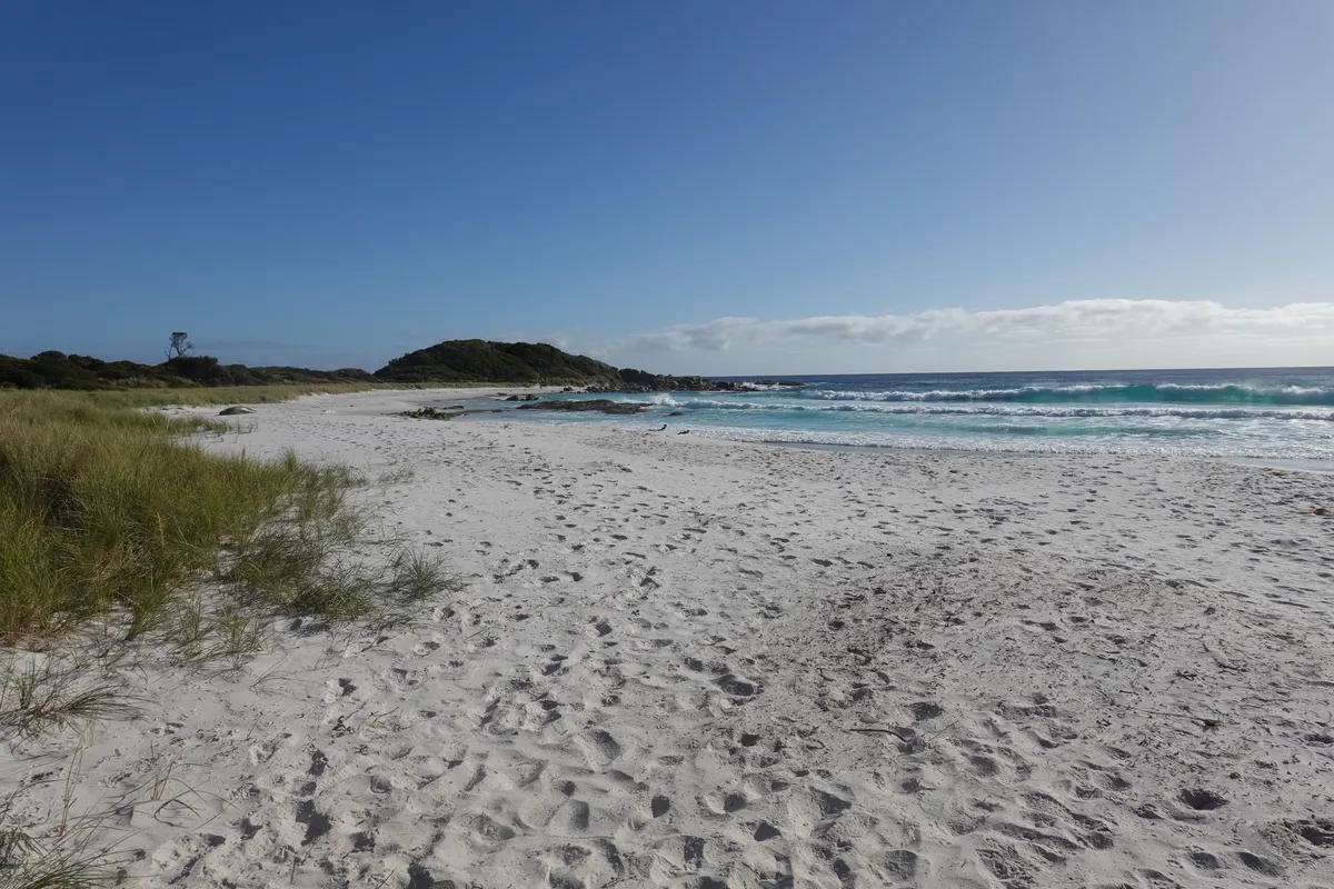
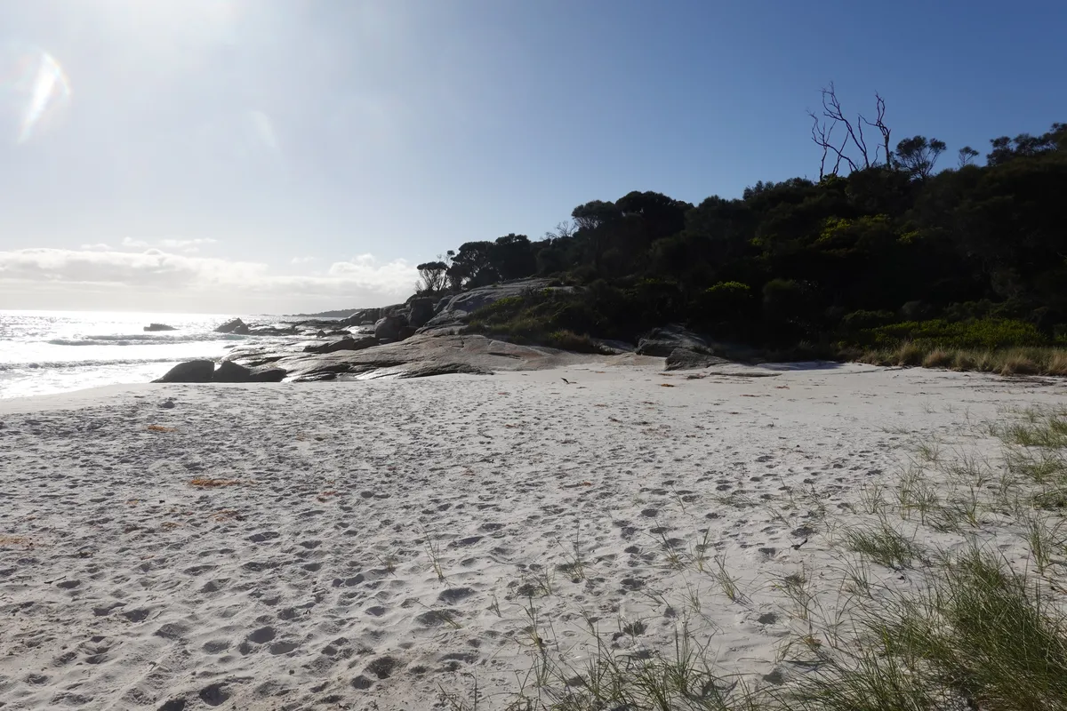
Binalong Bay
The beaches of Tasmania set a pretty high bar, yet the one at Binalong has probably got to be one of the prettier ones. Gentle waves, ridiculously clear waters and a similarly clear sky to match. No dunes here, just a really long stretch of soft, white, fluffy sand. It’s a slight detour on our way to Bay of Fires but well worth that little detour.
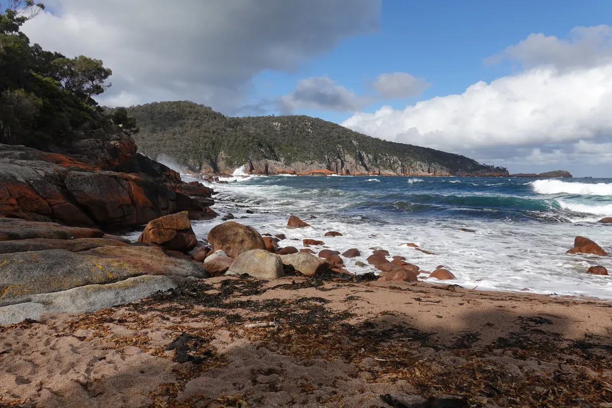
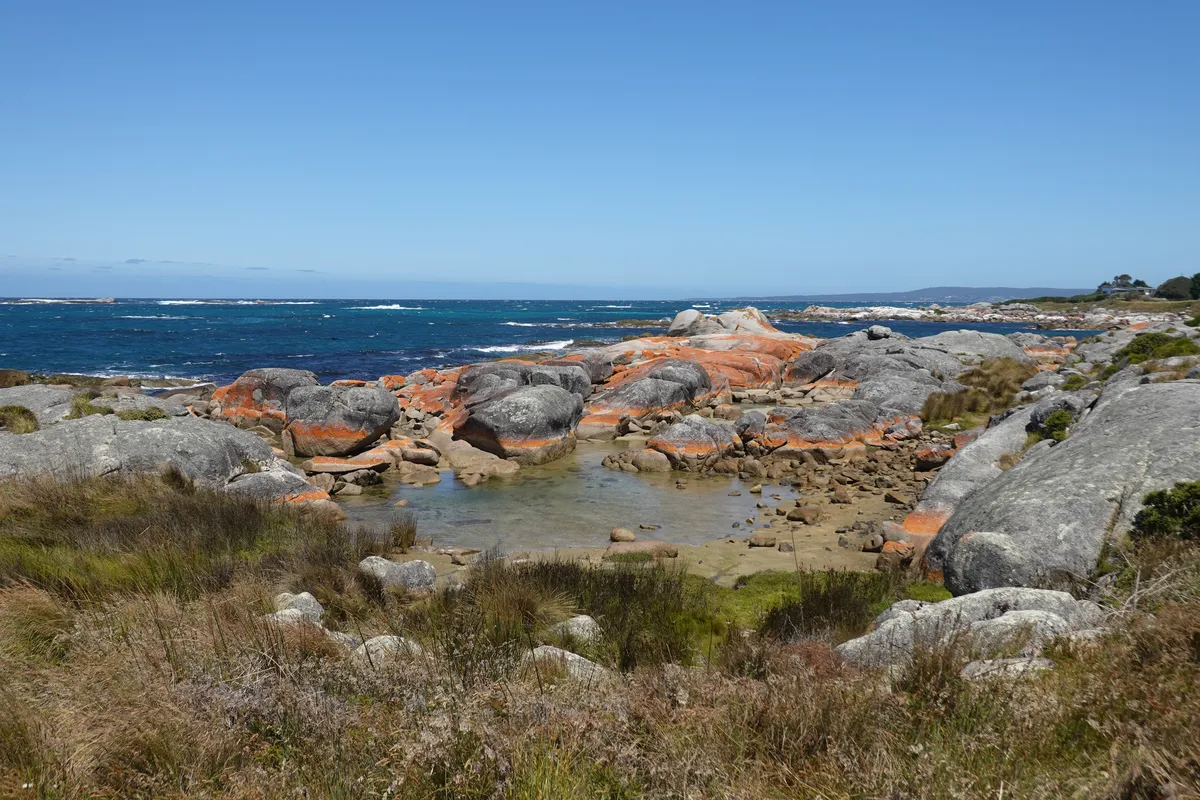
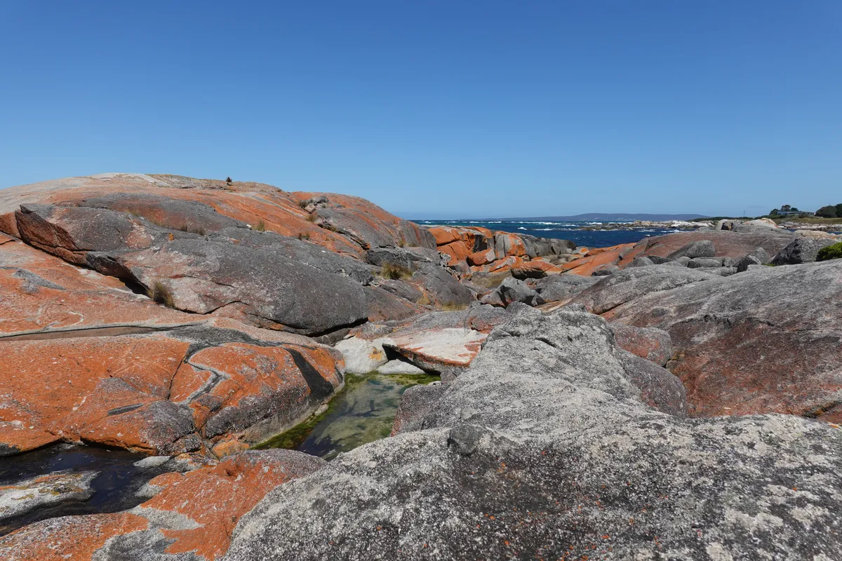
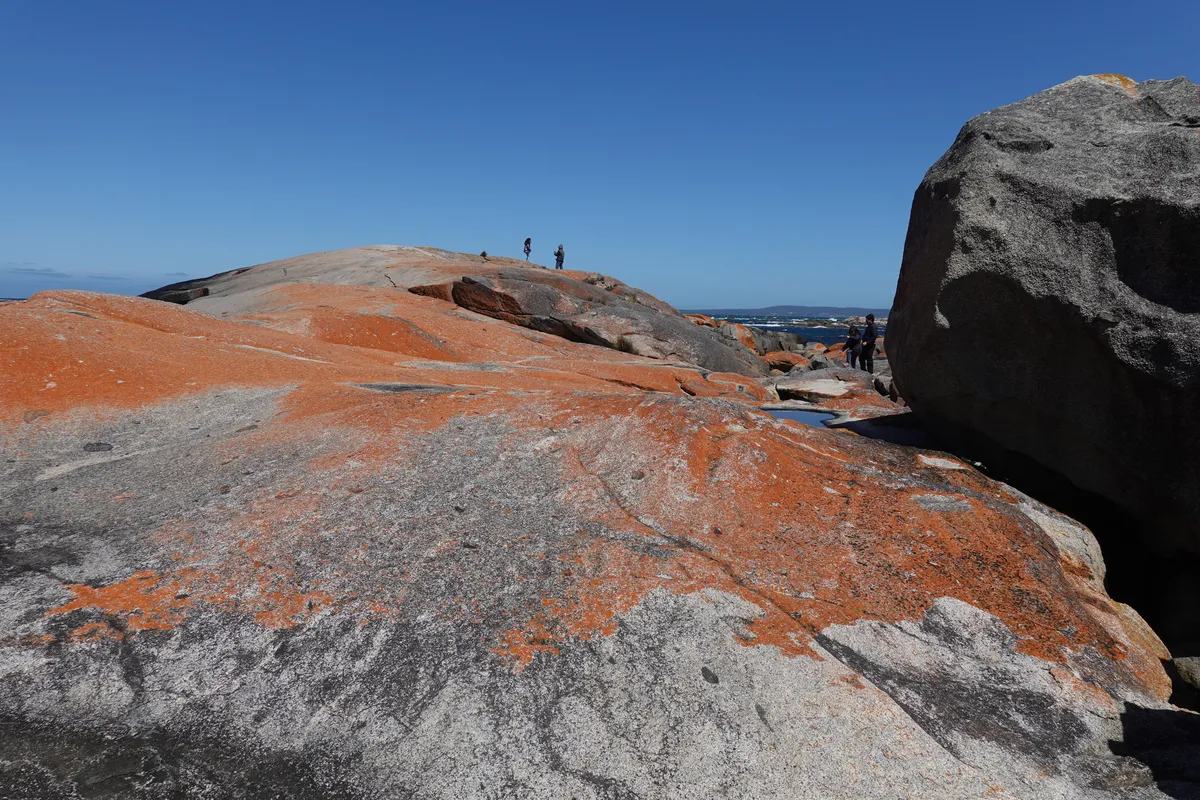
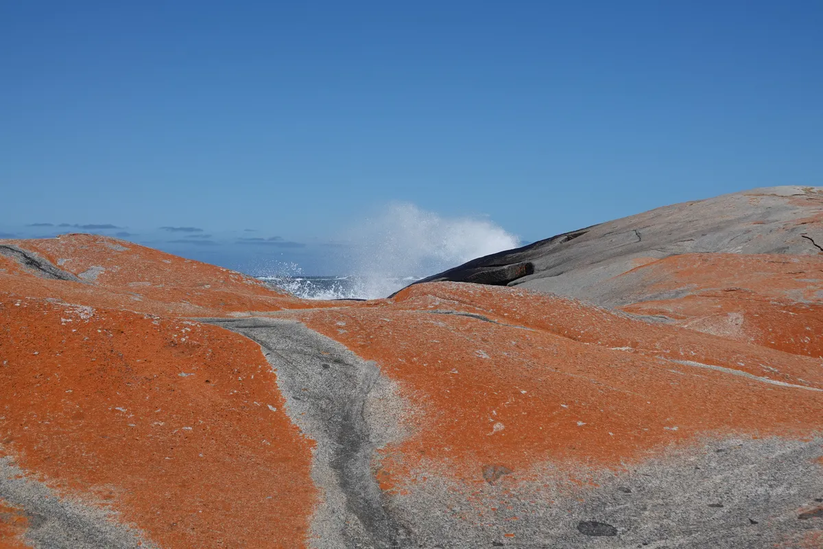
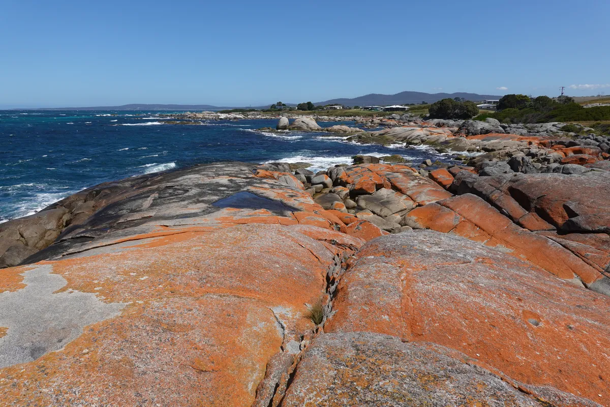
The Gardens (Bay of Fires)
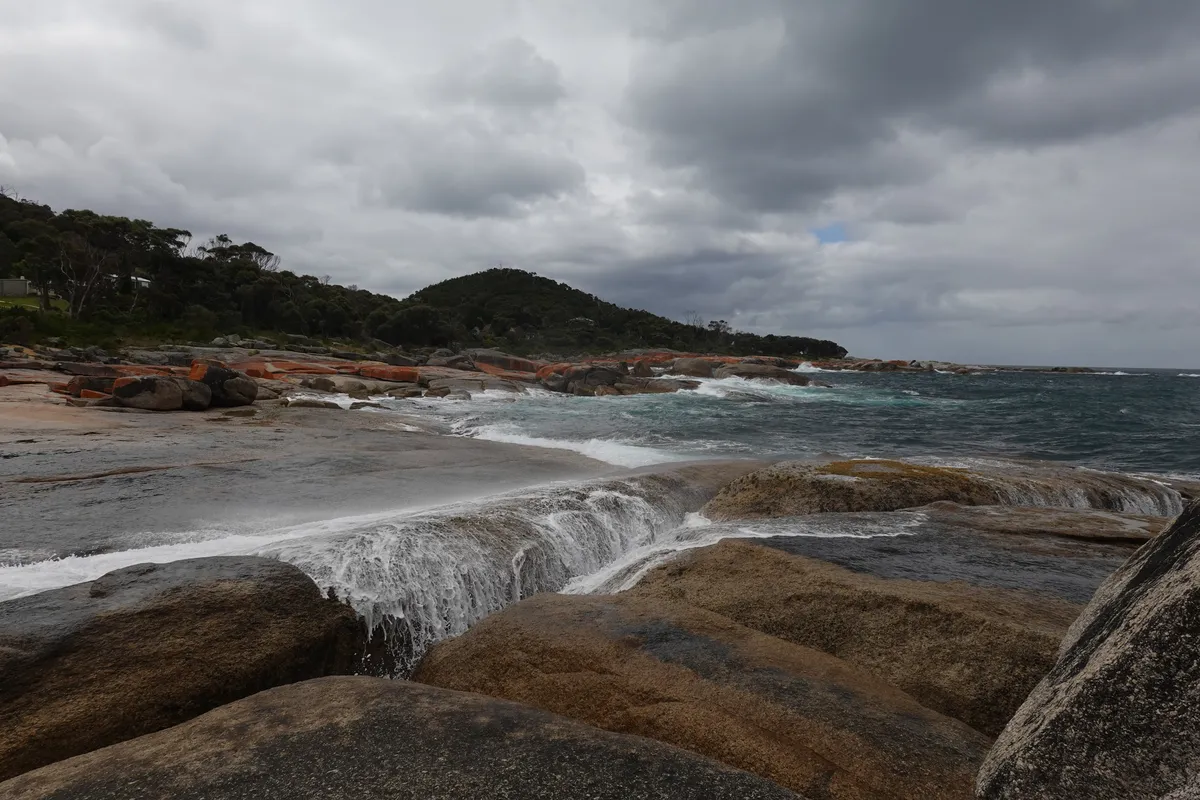
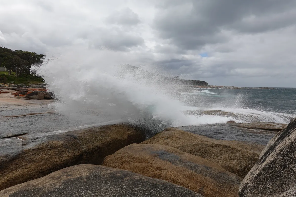
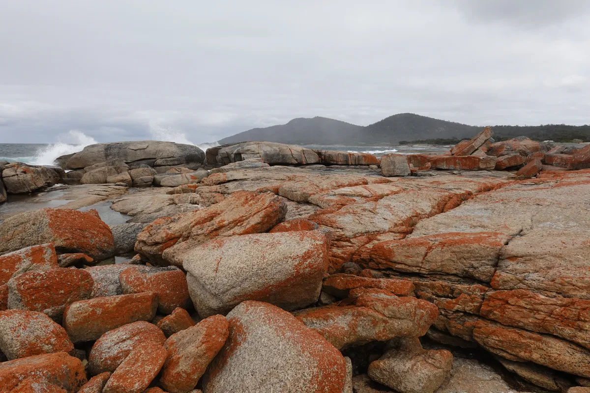
All the way on the other end of (the more accessible section of) the Bay of Fires is the Gardens. Here’s a great spot to see the iconic orange lichen covered rocks of Bay of Fires, but definitely not the only spot. Gardens Road ends here at the Gardens, and the rest of Bay of Fires (further north) probably require more hardy vehicles to visit. There’s a short trail at the Gardens that leads around the area and to a slightly higher viewpoint, but the fence and trail demarcation was a little confusing and we and many others had to climb over a short fence to stay on the trail. Along the coast it’s possible to get up on the rocks, but probably with a good dose of caution as the waves were occasionally huge.
Swimcart Beach
After we were done with the Gardens it was time to find a spot for the rest of the day and night. There are a few beaches along the way with campgrounds next to the beaches. I think most if not all of the campsites were free and had a basic toilet. As it was nearing the holiday period, the campgrounds were crowded and we didn’t manage to find a spot at the first one we entered. We drove to the next, which was still a little crowded, but managed to find a spot at the far end. Slightly quieter, a little further from the toilet but with a nearer beach access. We moved around a little trying to get a nice view and flat ground and once we were satisfied, set up camp for the night!
It was a beautiful night and I attempted some astrophotography. Unfortunately as I was using a new camera and was unfamiliar with the settings, I didn’t get the focus right. On the other hand I think I managed to capture a little bit of aurora on one of the photos, some unfocused green streaks in the distance. Might need another trip back to fix it.
Day 6
Looks like we were on a great weather streak as it was another clear morning. We spent only a night at Bay of Fires but it felt just right for our trip. While it was a beautiful place, it was a little crowded when we visited (as it was the holiday season). On the way out of Bay of Fires, we stopped by the other beaches for a quick look. Back at St Helens, we took the opportunity to enjoy comforts like a clean toilet and being able to clear our trash before embarking on the next stage of our road trip, the journey inland to the north-west of Tasmania. First up, an interesting antiques and curios shop in the middle of the woods, literally “Shop in the Bush“. Drop by soon for that and more adventures in the north!


")
